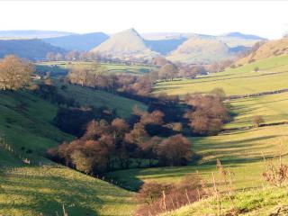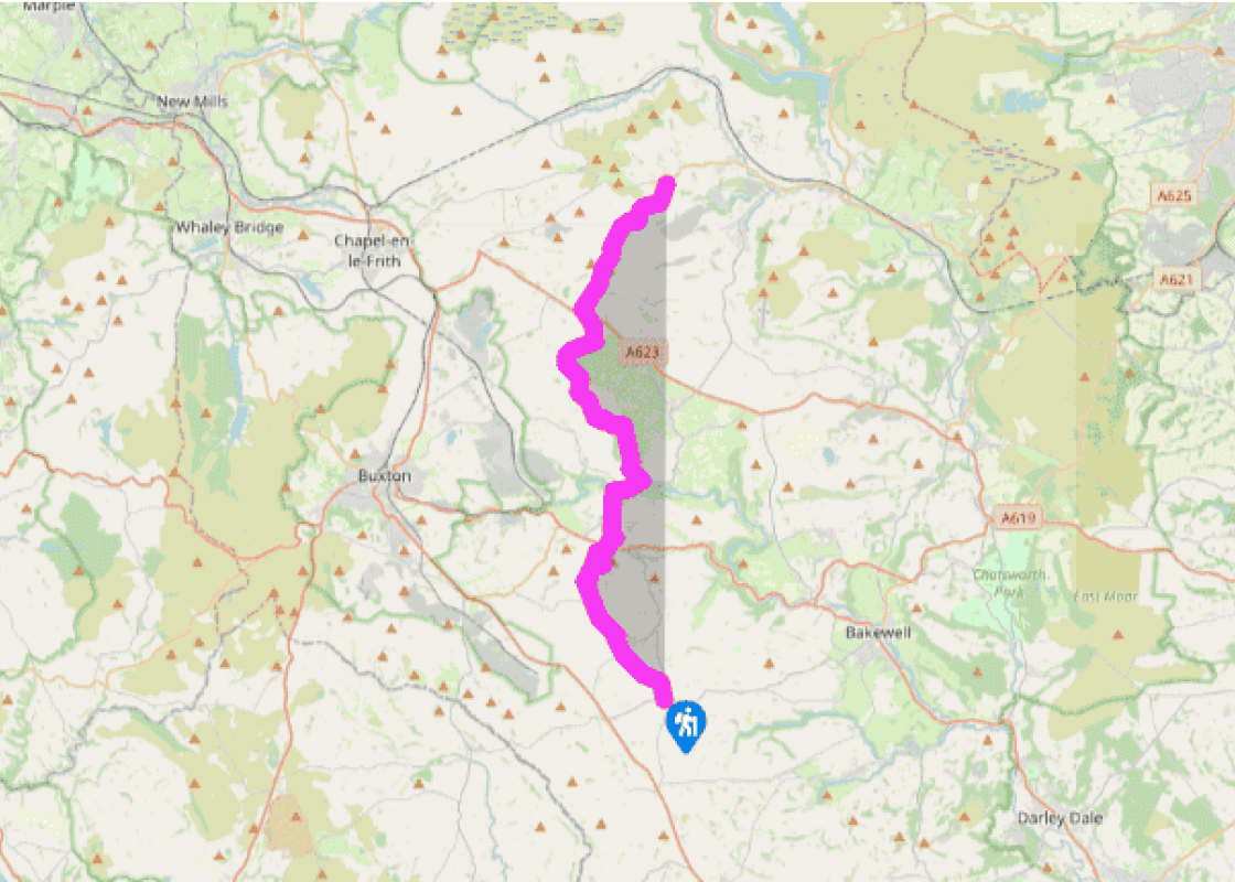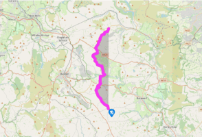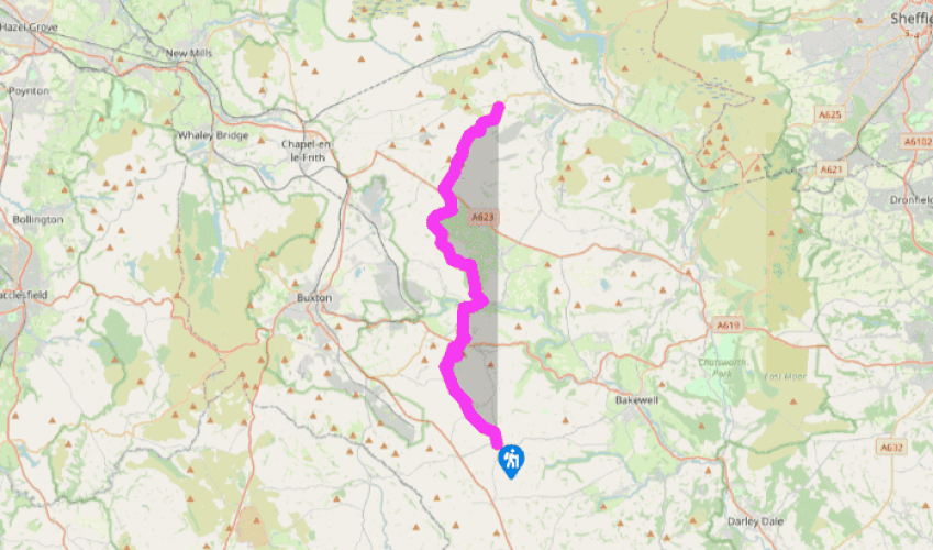
Limestone Way: Monyash to Castleton
From Monyash the character of the walk changes as you head out across the high limestone plateau and the views gradually become more expansive. Leave the village heading north on Chapel Street, past a noticeboard by the car park that gives some interesting historical information about the village. Carry on along footpaths into the bottom of a dry valley, where the route is clearly waymarked. Following drystone walls, the route skirts Knotlow Farm and joins a tarmac track to reach a road at the hamlet of Flagg.
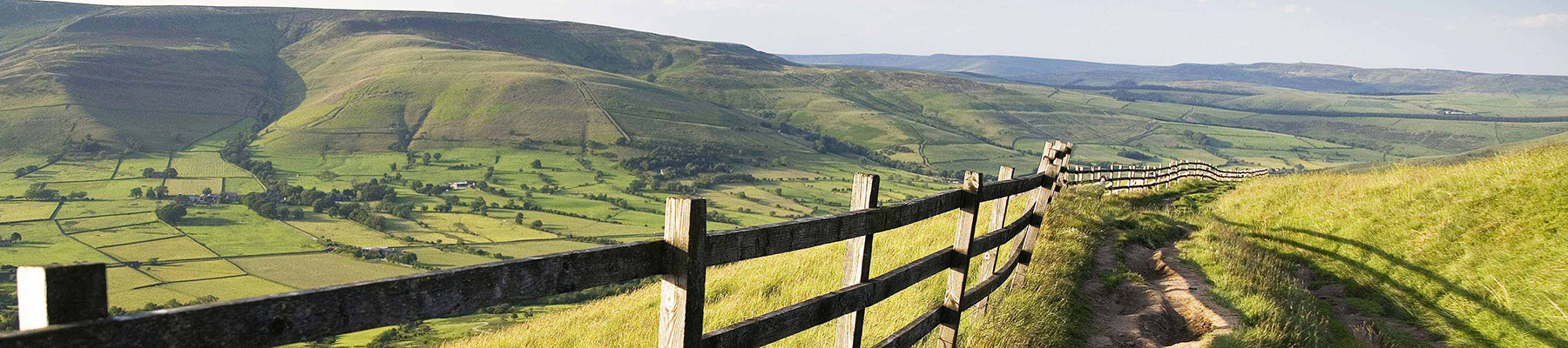
Flagg is a quiet, unassuming place, and from here you follow a lane past the houses heading northwest and go across the Bakewell–Chelmorton road. To the west, Chelmorton is famous for its pattern of narrow enclosure walls, a classic illustration of medieval farming practice. A green lane leads northwards, over the edge of the escarpment to give a really fine view of the Limestone Way through the valley and hills beyond. Follow the winding track down the hillside to carefully cross the A6, one of only two major roads to be encountered on the entire walk, by The Waterloo hotel, close to a blind brow.

Been on this walk?
Send us photos or a comment about this route. Or recommend a route of your own.

Walking in Safety
Read our tips to look after yourself and the environment when following this walk.

Get an AA guide
Explore our range of ‘50 Walks in’ guides - they’re the ideal companion for a ramble.
Been on this walk?
Send us photos or a comment about this route. Or recommend a route of your own.
Walking in Safety
Read our tips to look after yourself and the environment when following this walk.
Get an AA guide
Explore our range of ‘50 Walks in’ guides - they’re the ideal companion for a ramble.
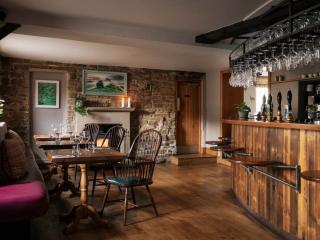
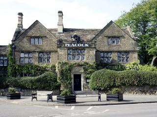
Nearby places to stay
View all (8)