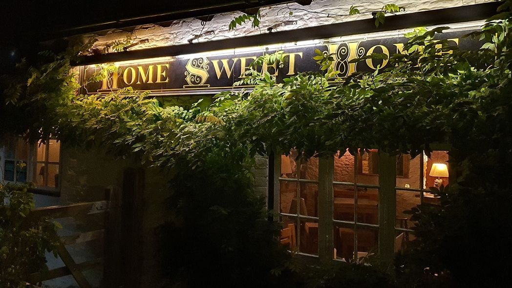


The Railway Inn
The Railway Inn is traditional family-run Inn located beside Culham Railway Station and is the…

Long Wittenham
4 miles (6.4kms)
‘All was new and sparking…The church was a couple of hundred feet up on the top of the first rise, a landmark among its trees for several miles…’
This was how the aptly-named Roye England (1906-95) described the village that inspired him to create a model of the English countryside as he saw it in the years between the two World Wars. Roye arrived in this country from his native Australia in 1925 and soon accepted an invitation to stay with a cousin at Wanborough on the edge of the Vale of White Horse. Though he felt quite at home in this setting – he loved the gentle beauty of the countryside and the character of its transport, particularly the railways – he feared that what he saw around him would soon be swept away by irrevocable change. ‘The age-long heritage of England appeared to be timeless, but to anyone who knew it well, it was already showing signs of crumbling,’ he wrote in his memoirs. Roye felt compelled to do something.
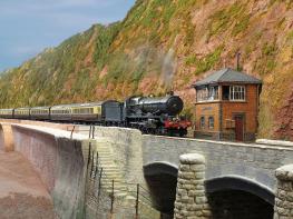
He believed passionately that it was possible for a vivid impression of a particular way of life to be preserved for future generations. It had to be. It was then that Roye’s dream was born. He would create a detailed model of the area; one that would reflect the minutiae of daily life in an agricultural community. Work began in 1931, with a modest reconstruction of the pub at Wanborough. Progress was slow; this type of intensive work had never been attempted before and techniques were entirely new. The village he created was called Pendon Parva – meaning ‘little hill village’ - and what evolved was a charming pastiche of the Vale of White Horse. Roye used poetic licence in the topography and general layout but many of the buildings and features seen in the model today are recognisable.Roye’s most important consideration during the planning stages of this hugely ambitious undertaking was finding a home for his cherished model. He took over a former pub, The Three Poplars, in the village of Long Wittenham, then in Berkshire and since the county boundary changes of 1974, firmly in Oxfordshire. For six years Roye ran the building as a youth hostel and in those early days hostellers, some from overseas, would spot the early models on a bench top in the old bar. Little did they realise what lay ahead. In the summer of 2014 Pendon Museum, still on the site of the former pub on the edge of Long Wittenham, celebrated its 60th birthday and is now one of the region’s most popular visitor attractions. However, it has never lost sight of Roye England’s original aim to present a picture of the routine and traditions of rural life in the Vale of White Horse almost a century ago.
From the High Street in Long Wittenham head west towards the Plough Inn and when the road bears left just beyond it, keep ahead along the road signposted to Pendon Museum. Pass Elm Close House on the right and a property called Keswick on the left. Avoid a footpath on the right and when you reach a row of cottages, also on the right – Pendon Museum is just a few paces ahead – turn left to follow a byway.
After about 60yds (55m) at a junction, keep ahead on the waymarked footpath. Skirt farmland, bearing right in the field corner, and walk along to a line of trees. At the end of them, turn left over a wooden footbridge spanning a stream. Keep along the left edge of the next field, alongside hedge and fence. The outline of Wittenham Clumps (walk 43) is visible to the left. Make for the field corner, pass through a gap in the boundary and turn left at the road.
After a few paces turn right to join a bridleway. Follow the field edge and soon you reach a galvanized gate. Continue ahead in the next field, pass under power lines and follow the path along the perimeter, up the gentle slope and slightly left. Head for the top corner of the field, go through a gate and then walk round the side of a small wood. On reaching the field edge after a few paces, keep left and follow the perimeter, with the trees on your left. Pass a concrete trig point and keep ahead to the far corner of the field. Don’t go through the wide gap in front of you, into the next field; instead, at the obvious intersection, turn left and follow a broad grassy path.
Keep to the right of farmland and over to the left at one point a cottage with dormer windows and outbuildings can be seen set against a curtain of trees. At the next road, seen close by on the right, join it and turn left. Walk along it briefly to a junction. Turn left towards Long Wittenham and follow the road down to a left bend.
Look for an opening in the hedge and foliage on the right and join a footpath. Keep along the right-hand edge of the field and go through a gap in the corner. Cross a large pasture and in the next corner follow the enclosed path ahead. Cross a footbridge, go through a gate into a pasture and keep ahead to a junction with a track. Cross it to a narrow path leading to the centre of Long Wittenham.
Mainly field paths
Farmland to the south of Long Wittenham
On a lead around Long Wittenham and on open sections of farmland
OS Explorer 170 Vale of White Horse
Spaces in the main street of Long Wittenham village or along the road to Pendon Museum
None on route
Read our tips to look after yourself and the environment when following this walk.
Located at the heart of England, Oxfordshire enjoys a rich heritage and surprisingly varied scenery. Its landscape encompasses open chalk downland and glorious beechwoods, picturesque rivers and attractive villages set in peaceful farmland. The countryside in the northwest of Oxfordshire seems isolated by comparison, more redolent of the north of England, with its broad views, undulating landscape and dry-stone walls. The sleepy backwaters of Abingdon, Wallingford, Wantage, Watlington and Witney reveal how Oxfordshire’s old towns evolved over the centuries, while Oxford’s imposing streets reflect the beauty and elegance of ‘that sweet city with her dreaming spires.’ Fans of the fictional sleuth Inspector Morse will recognise many Oxford landmarks described in the books and used in the television series.
The county demonstrates how the strong influence of humans has shaped this part of England over the centuries. The Romans built villas in the pretty river valleys that thread their way through Oxfordshire, the Saxons constructed royal palaces here, and the Normans left an impressive legacy of castles and churches. The philanthropic wool merchants made their mark too, and many of their fine buildings serve as a long-lasting testimony to what they did for the good of the local community.
Discover more than 15,000 professionally rated places to stay, eat and visit from across the UK and Ireland.
Choose a place to stay safe in the knowledge that it has been expertly assessed by trained assessors.
Search by location or the type of place you're visiting to find your next ideal holiday experience.
Read our articles, city guides and recommended things to do for inspiration. We're here to help you explore the UK.