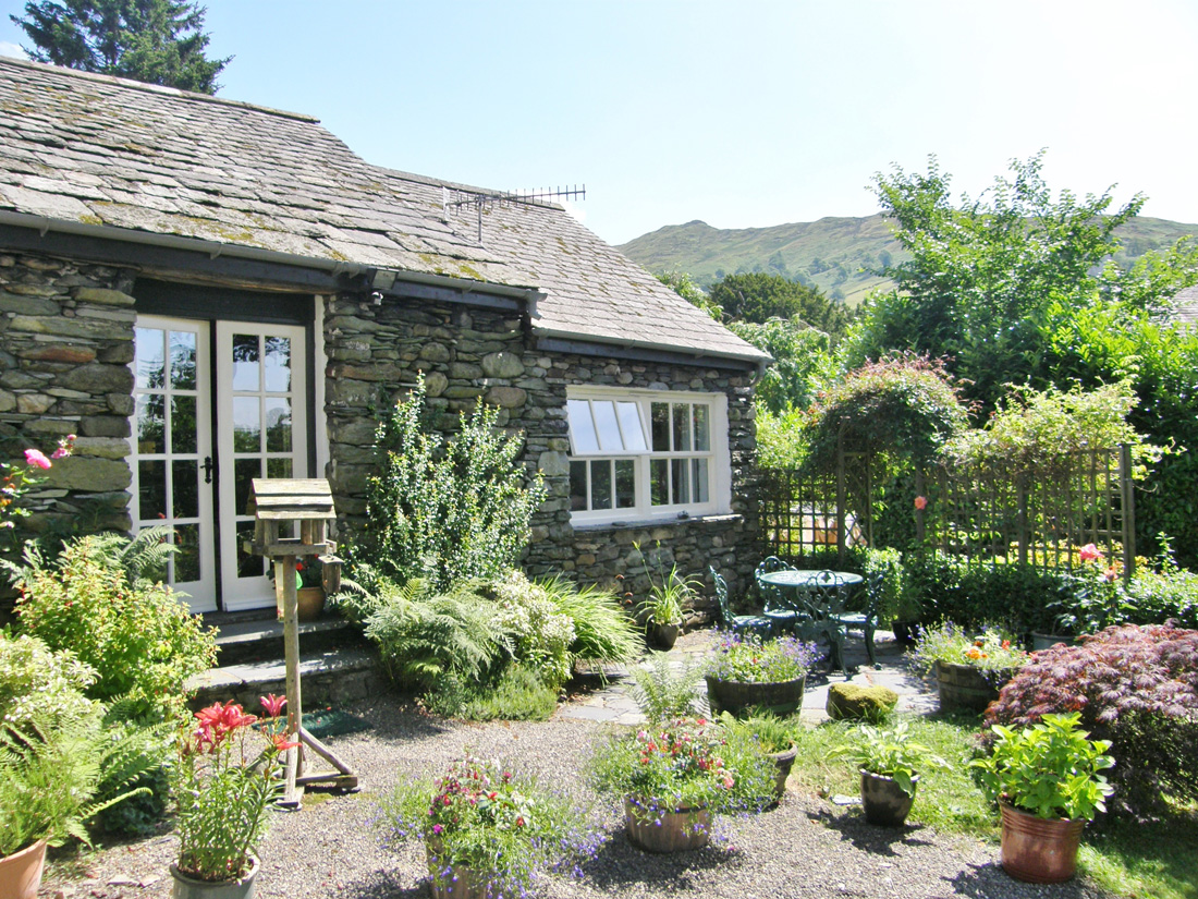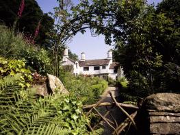
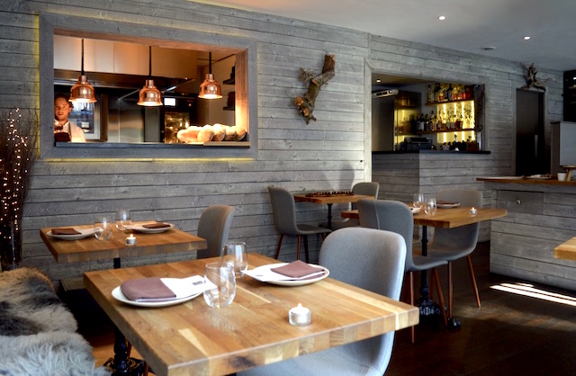
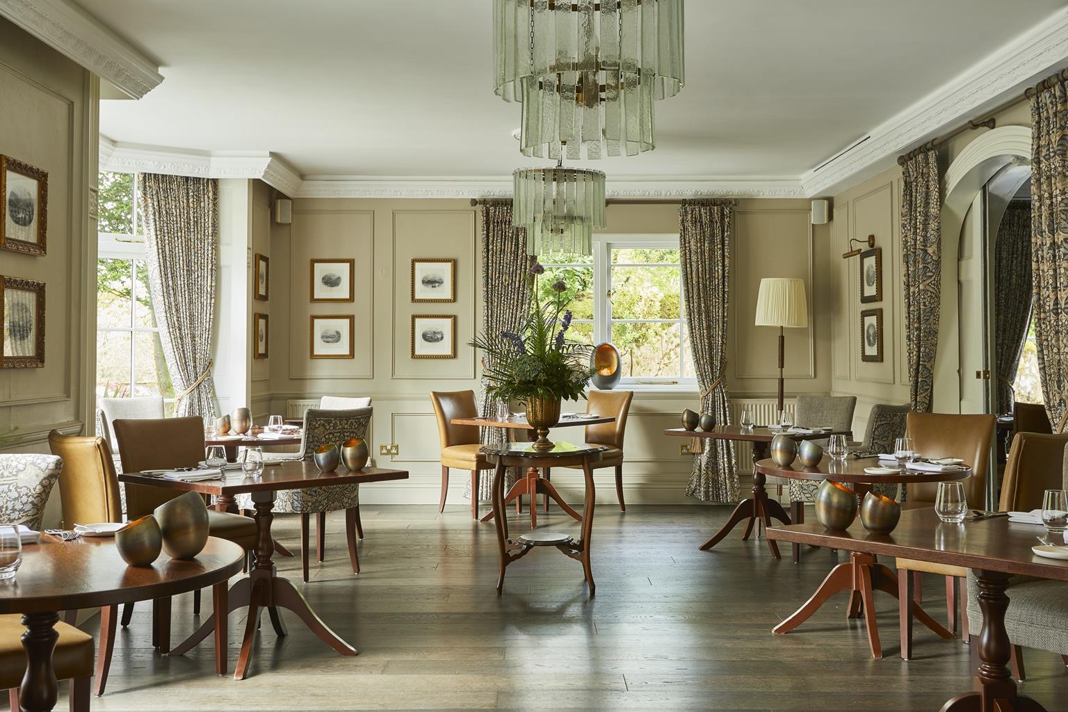


Herdwick Cottage Ambleside
Herdwick Cottage Ambleside is a handsome, slate-fronted terraced house discreetly tucked away in…

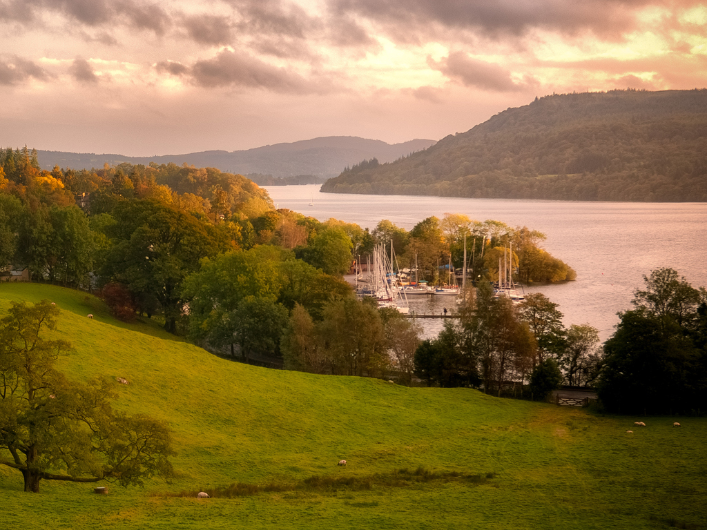
Above little Ambleside, Loughrigg Fell looks out to lake, dale and high fell
Ambleside
3.25 miles (5.3kms)
Loughrigg is a delightful low fell, running from Ambleside and the head of Windermere lake towards both Langdale and Grasmere. This walk crosses the River Rothay by Miller Bridge, and rises to a craggy viewpoint before traversing the small Lily Tarn, to return via the stone lane of Miller Brow. With the exception of possibly thick mist or cloud, this is a walk for all seasons and most weather conditions. The views, south over Waterhead and down Windermere and north over the wooded vale of Rydal into the high mountain drama of the Fairfield Horseshoe, are some of the most evocative in the region. The delightful detail of tree, rocky knoll, heather, bracken and the white and green cup and saucers of the lilies on Lily Tarn contrast with the grand open views of mountain, dale and lake.
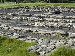
Even before the heights of lovely Loughrigg are reached, the varied slate stone buildings of Ambleside provide an intriguing start to the walk. There is a lot more to this little town than just being the outdoor equipment capital of Britain. Sited in the old county of Westmorland, Ambleside has been occupied for a long time – Bronze Age remains, c.2000 bc, can be seen on the nearby fells, and the Galava Roman fort near Waterhead was one of the most important in northwest England. How Head, just up the Kirkstone road, is one of the oldest surviving buildings in old Ambleside, located in the area known as Above Stock. Sections of this fine stone house date back to the 16th century, and it was once the lodge of the Master Forester of the Barony of Kendal. It has massive circular chimneys – a typical Westmorland feature – and stone mullioned windows, and incorporates stone from the old Roman fort at Waterhead and cobbles from the bed of Stock Ghyll Beck.
Stock Ghyll once served as the heartbeat of the town when, some 150 years ago, it provided water power for 12 watermills. This walk passes a restored waterwheel, immediately followed by the famous Bridge House, one of the most photographed buildings in the Lake District. Spanning the beck, this tiny 17th-century building is said to have been built this way to avoid paying land tax. Locally it is said to have once housed a family with six children. It is now a shop and information centre for the National Trust. Ambleside has become a major tourist resort with shops, hotels and restaurants, and is a convenient base for exploring the rest of the Lake District.
Take the wooden footbridge from the car park and go right, along the Rydal road, to pass the waterwheel and Bridge House. At the junction bear right down Compston Road. At the next junction, by the cinema, turn right then immediately left to enter Vicarage Road. Pass between church and school to enter Rothay Park. Follow the main path through the park, then cross a flat bridge over Stock Ghyll beck. Go left to cross the stone-arched Miller Bridge spanning the River Rothay.
Turn right, cross a cattle grid, then climb a steep road on the left, which becomes rougher by the buildings of Brow Head Farm. At the S-bend just above, a stone stile leads up and left. Walk through trees to a little bridge. Cross and climb steps, then bear left at a fork. Slant across a wooded slope, then ascend a little valley. At a junction turn left. The path makes a rising traverse then swings right and climbs near a wall. Cross a ladder stile and climb a rocky knoll offering definitive views of the Fairfield Horseshoe to the north and Windermere to the south.
The way descends to the right to join a well-defined path. Follow this to pass a little pond before cresting a rise and falling to lovely little Lily Tarn. The path skirts the right edge of the tarn, then roughly follows the crest of the fell before joining a wall on the left. Follow this down through a kissing gate and climb the broad knoll ahead, another worthy viewpoint.
Take the path descending right to a prominent track below. Turn right along the track to a gate that leads through the stone wall boundary of the open fell and into a field. Continue down, passing a striking house at Pine Rigg, on the site of the old golf clubhouse. Intercept the original route just above the buildings of Brow Head.
Continue to cross Miller Bridge, then go straight ahead through an iron gate. Follow the track through fields. A short street leads to the main Rydal road. Bear right on the road to the car park beyond the fire station.
Road, paths and tracks, can be muddy in places, several stiles
Town, park and open hillside with views to high fells
Under control; busy roads, park, sheep grazing
OS Explorer OL7 The English Lakes (SE)
Ambleside central car park
At car park
Read our tips to look after yourself and the environment when following this walk.
Cumbria's rugged yet beautiful landscape is best known for the Lake District National Park that sits within its boundaries. It’s famous for Lake Windermere, England’s largest lake, and Derwent Water, ‘Queen of the English Lakes'. This beautiful countryside once inspired William Wordsworth and his home, Dove Cottage, in Grasmere is a popular museum. Another place of literary pilgrimage is Hill Top, home of Beatrix Potter, located near Windermere. Tom Kitten, Samuel Whiskers and Jemima Puddleduck were all created here.
Much of Cumbria is often overlooked in favour of the Lake Distirct. In the south, the Lune Valley remains as lovely as it was when Turner painted it. The coast is also a secret gem. With its wide cobbled streets, spacious green and views of the Solway Firth, Silloth is a fine Victorian seaside resort. Other towns along this coastline include Whitehaven, Workington and Maryport. Carlisle is well worth a look – once a Roman camp, its red-brick cathedral dates back to the early 12th century and its 11th-century castle was built by William Rufus.
Discover more than 15,000 professionally rated places to stay, eat and visit from across the UK and Ireland.
Choose a place to stay safe in the knowledge that it has been expertly assessed by trained assessors.
Search by location or the type of place you're visiting to find your next ideal holiday experience.
Read our articles, city guides and recommended things to do for inspiration. We're here to help you explore the UK.