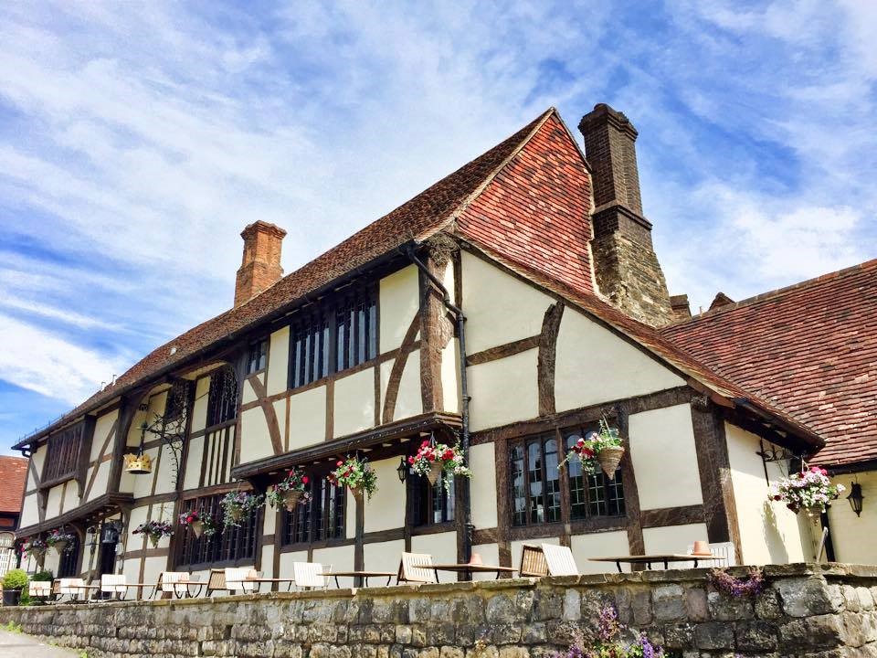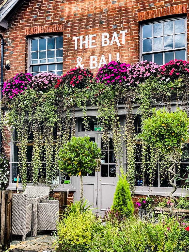
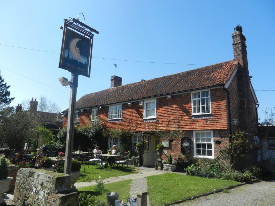
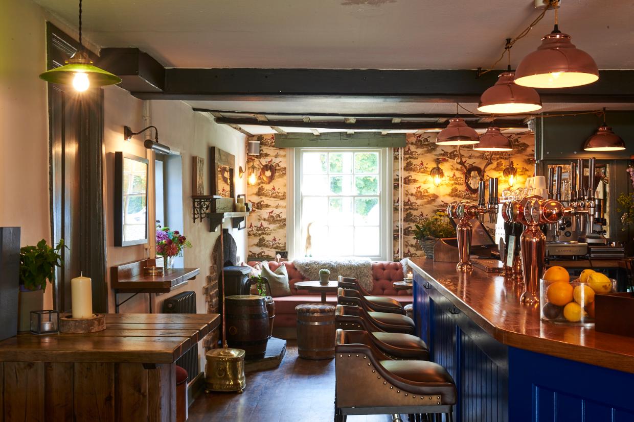


The Richard Onslow
A historic building on Cranleigh’s High Street, The Richard Onslow is a classic English village…

Cross pastures to discover how a forgotten canal is being brought to life.
Loxwood
4.5 miles (7.2kms)
The Wey and Arun Junction Canal was completed in 1816 to connect the Wey and Arun rivers and form part of a continuous inland waterway route, linking London with the south coast. (‘Junction’ was later dropped from the name.) Glancing at derelict stretches of the 23-mile (37km) canal today, in places either completely dried up or engulfed by weeds and a sea of mud, you could be forgiven for thinking that ‘derelict’ is an understatement. But journey along the tow path a little further, and you’ll see that a makeover is taking place.
After years of neglect, a great deal of restoration work has already been completed, and a stretch beyond the Onslow Arms has now been fully restored, with boat trips offered at weekends and occasional Wednesdays. To join together two sections either side of the B2133, it has been necessary to construct two new locks to take the canal underneath the modern road. But there is a great deal still to do if the Wey and Arun Canal Trust is to realise its dream of reopening this stretch of ‘London’s lost route to the sea’.
During the 19th century it was possible to travel by boat from London to Littlehampton on the Sussex coast via Weybridge, Guildford, Pulborough and Arundel. This route represented a tiny but important part of an extensive network of inland waterways covering England and Wales. To make that journey involved travelling along the rivers Wey and Arun, which were linked between Shalford in Surrey and Pallingham in Sussex by the Wey and Arun Junction Canal and the Arun Navigation. The canal was initially successful, until the arrival of the railway. It finally closed in 1871, and the waterway clogged up and was reduced to a stagnant depression in the ground, remaining in that state for the best part of a century. The lock by Devil’s Hole, an abandoned oxbow of canal that was an earlier attempt to bypass a slope, was used by Canadians in World War II for target practice.
However, in the early 1970s a group of dedicated volunteers and canal enthusiasts formed the Wey and Arun Canal Trust, with the aim of restoring the canal as a public amenity, including its diverse range of wildlife habitats. Many of the original bridges and locks have been restored, but construction work of this kind is very expensive. The conservation project depends on fundraising and the goodwill of local councils, businesses and landowners.
This pretty walk begins in Loxwood, and gives an insight into the rebirth of the Wey and Arun Junction Canal, highlighting the various renovation works in progress. Heading north across lush farmland, the route eventually joins the tow path, and you’ll see how the conservation programme is transforming the canal from an overgrown ditch into a vibrant waterway.
From the car park walk past the Canal Centre and the Onslow Arms to the B2133. Turn right and cross over the canal, continue along the road for 50 yards (41m) and then turn right along a signposted path which leads between hedges. Meet a road and keep ahead by Loxwood Surgery on the right. Turn right at the T-junction.
Pass Burley Close and turn left into Spy Lane. Follow the road as it leads between houses and bungalows and look for the Emmanuel Fellowship Chapel on the right. Bear right immediately beyond the chapel, through a gate, and skirt the Emmanuel Fellowship playing field.
Follow the path to a plank bridge and pass through a tongue of woodland. Make for the right-hand boundary of the field, then keep ahead to a gateway in the corner. Turn right and immediately left by a fingerpost. Follow the left-hand edge of three fields, passing Songhurst New Farm. Head for the field corner and look for a wide open gateway. Continue along a surfaced single-track lane, passing a brick-built house on the right. Continue for 0.5 miles (800m), passing a right turning to Old Songhurst Farm.
Turn left on reaching a T-junction with a lane, following the Sussex Border Path, and pass Songhurst House. After 0.5 miles (800m), turn left at a T-junction opposite the Sir Roger Tichborne pub along the right-hand verge of the B2133. Soon turn right along Oakhurst Lane, following the Sussex Border Path towards Oakhurst Farm. Approaching the farm, leave the lane on the left through a gate, as signed, and follow the track which bypasses the farm, ignoring a footpath turn on the left. Beyond the barns, the track heads on over a bridleway into an avenue of trees. Carry on to a new brick bridge over a canal at Gennets Bridge Lock.
Turn left here and follow the Wey South Path alongside the disused Wey and Arun Canal, which here appears as an overgrown ditch on the left. Continue on the old tow path, passing through several gates. Disregard any turnings and keep to the route of the canal. Pass the Southland Lock where the canal is now restored and then the Devil’s Hole Lock and Bridge. Nearing the B2133, follow the path under the road bridge back to the car park.
Field paths, tracks and tow path
Gentle farmland bisected by Wey and Arun Canal
On lead on road and stretches of farmland
OS Explorer OL34 Crawley & Horsham
Free car park by Wey and Arun Canal, next to Onslow Arms, Loxwood, beyond pub car park and Canal Centre
None on route
Read our tips to look after yourself and the environment when following this walk.
Divided from East Sussex back in 1888, West Sussex is so typically English that to walk through its landscape will feel like a walk through the whole country. Within its boundaries lies a wide variety of landscape and coastal scenery, but it is the spacious and open South Downs with which the county is most closely associated.
In terms of walking, you’ll be spoilt for choice. Studying the map reveals a multitude of routes – many of them to be found within the boundaries of the South Downs National Park – and an assortment of scenic long-distance trails leading towards distant horizons; all of them offer a perfect way to get to the heart of ‘Sussex by the sea,’ as it has long been known. If you enjoy cycling with the salty tang of the sea for company, try the ride between Chichester and West Wittering. You can vary the return journey by taking the Itchenor ferry to Bosham.
West Sussex is renowned for its many pretty towns, of course. Notably, there is Arundel, littered with period buildings and dominated by the castle, the family home of the Duke of Norfolk, that dates back nearly 1,000 years.
Discover more than 15,000 professionally rated places to stay, eat and visit from across the UK and Ireland.
Choose a place to stay safe in the knowledge that it has been expertly assessed by trained assessors.
Search by location or the type of place you're visiting to find your next ideal holiday experience.
Read our articles, city guides and recommended things to do for inspiration. We're here to help you explore the UK.