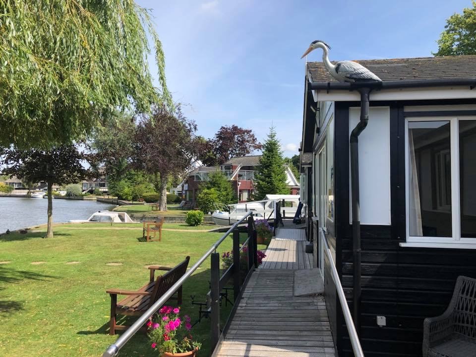


Sunray
Sunray is a recently renovated property ideally situated overlooking the River Thurne. It has a…

Enjoy the windmill-studded skyline in this lovely stroll to the River Ant.
Ludham
5 miles (8kms)
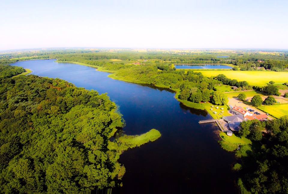
No visit to Norfolk would be complete without a trip to the Broads National Park. This is a patchwork of interlinked streams, lakes and channels that wind sluggishly over the flat land to the east of Norwich. Three major rivers – the Bure, Waveney and Yare – supply most of the water to the meres, ponds and marshes before entering the great tidal basin at Breydon Water and flowing into the sea at Great Yarmouth.
Despite the fact that the Broads comprise one of England's best wilderness areas, most natural historians and archaeologists accept that their origin lies in ancient human activity. They were formed when local people mined the extensive peat deposits here, cutting away the fuel to form neat vertical sides. An obvious question for any visitor is how did these ancient folk, with their primitive tools, carve out these huge areas before they filled up? The answer lies in the fact that the sea level was lower in the past and none of the Broads is very deep, mostly less than 15ft (4.5m), suggesting the peat was cut until it became too boggy.
So, when did all this happen? No one really knows, since maps of the area are lacking until about 400 years ago. Fritton and the linked Ormesby–Rollesby–Filby broads appear on a map of 1574, and Domesday records indicate that there was demand for peat from Norwich and Great Yarmouth. Documents written in the 13th and 14th centuries tell of devastating floods, and mention that turf production around South Walsham declined dramatically. Perhaps it was then that the miners abandoned their workings and left the area to become a paradise for native birds and plants.
New industries sprang up, using sedge and reed for thatching and alder wood for brush making. These small-scale projects kept the waterways open. Their decline since World War I has meant that open fenland has gradually become dense alder carr (wet woodland dominated by alder). Ancient waterways that once saw traditional Norfolk wherries (sailing craft) transporting goods are silting up, and the heavy use of fertilisers on arable land causes algal blooms. You will see what the Broads Authority is doing about these problems when you visit the How Hill nature reserve.
Leave the car park and the busy marina and walk up Horsefen Road, going the same way that you came in to park.
Turn left at the end of Horsefen Road, walking along the footpath that runs inside a hedge next to the road. When you see the King's Arms ahead, turn right up the road towards 'Catfield'. After a few paces turn left onto School Road. Houses soon give way to countryside. Take the permissive path on the right of a hedge next to the road. Go straight across the next junction, following the sign for How Hill.
Turn right along a lane signposted 'How Hill'. The lane winds and twists, and is fairly narrow, which makes for pleasant walking. You will soon reach How Hill House, a sail-less windmill and How Hill nature reserve. There are marked trails through the reserve, if you feel like a pleasant diversion. When you have finished, continue down How Hill Road. Pass Grove Farm Gallery and Studio on your right, and look for a red-brick barn followed by a lane, also on your right.
Turn right down Wateringpiece Lane. Pass the modern water tower on your left and walk past some fields. Look for the public footpath crossing the road. Go left along the bridleway that runs along the edge of a field until it ends at a lane.
Turn right on Catfield Road and walk along the verge on the right, where there is a footpath. This road can be busy in the summer, when thousands of visitors flock to Ludham and How Hill. Ignore the lane on your left, heading to Potter Heigham, and continue walking ahead until you reach a crossroads by Ludham Methodist Church.
Go straight across, walking a few paces until you reach the next junction with Ludham Church ahead of you. Turn left along Yarmouth Road, then right into Horsefen Road. This will take you back to the car park.
Quiet country lanes and grassy footpaths
Reed-fringed broad and gently rolling agricultural land
Not permitted in nature reserve; on lead through farmland
AA Walker's Map 22 The Norfolk Broads
Womack Staithe in Horsefen Road, Ludham
At Womack Staithe
Read our tips to look after yourself and the environment when following this walk.
The North Norfolk Coast is designated an Area of Outstanding Natural Beauty and probably the finest of its kind in Europe. Here you’ll find a string of quaint villages and small towns – Holkham, Wells-next-the-Sea and Cley next the Sea are 21st-century favourites, while Sheringham and Cromer are classic examples of a good old-fashioned seaside resort where grand Victorian hotels look out to sea. Further round the coast you'll find Great Yarmouth, one of the most popular resorts in the UK and packed full of amusements, shops and seashore entertainment. And let's not forget Norwich, the region's only city.
Norfolk prides itself on its wealth of historic houses, the most famous being Sandringham, where Her Majesty the Queen and her family spend Christmas. Many of Norfolk’s towns have a particular charm and a strong sense of community. The quiet market towns of Fakenham and Swaffham are prime examples, as well as Thetford, with its popular museum focusing on the TV comedy series Dad’s Army which was filmed in the area.
Discover more than 15,000 professionally rated places to stay, eat and visit from across the UK and Ireland.
Choose a place to stay safe in the knowledge that it has been expertly assessed by trained assessors.
Search by location or the type of place you're visiting to find your next ideal holiday experience.
Read our articles, city guides and recommended things to do for inspiration. We're here to help you explore the UK.