Mallyan Spout and Goathland
Recommended by

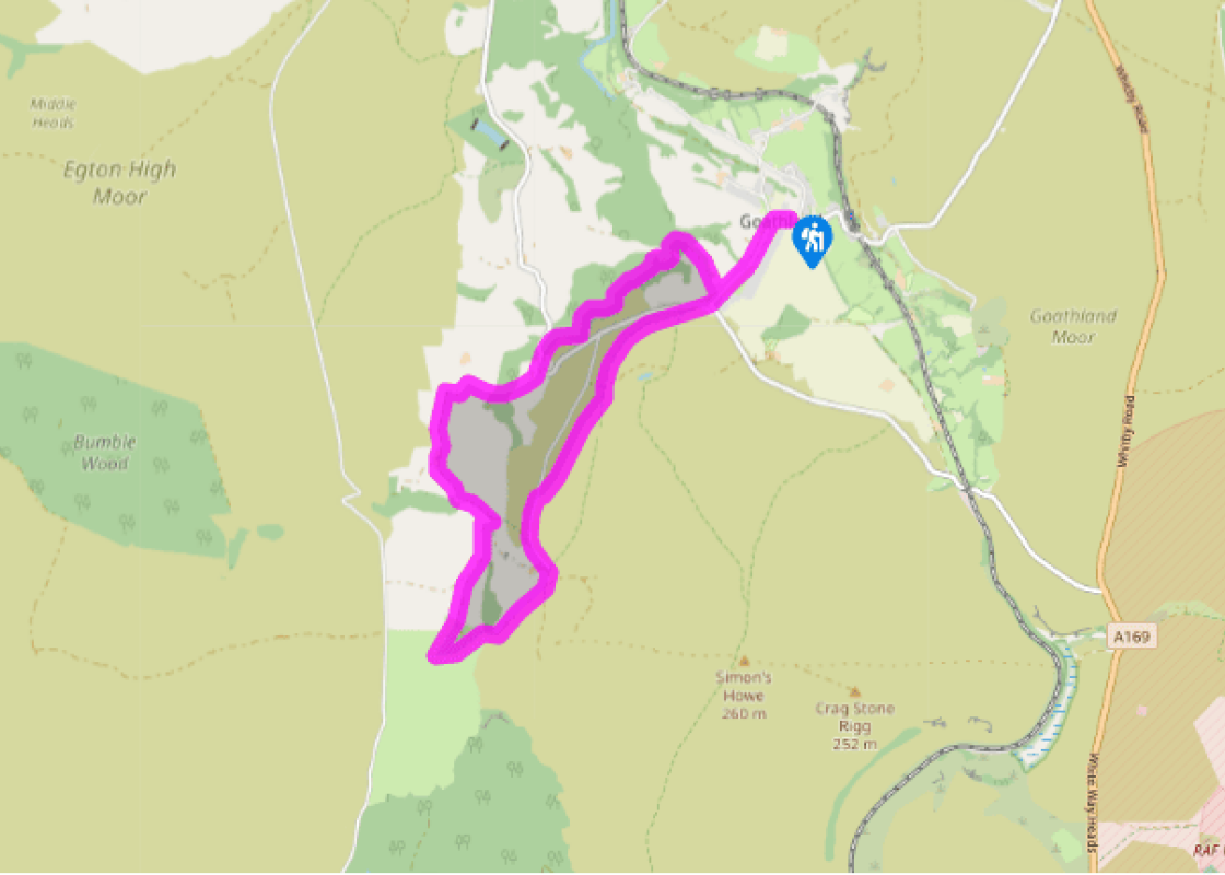
"Walking from the popular moorland village of Goathland through woods and along an ancient road."
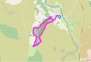
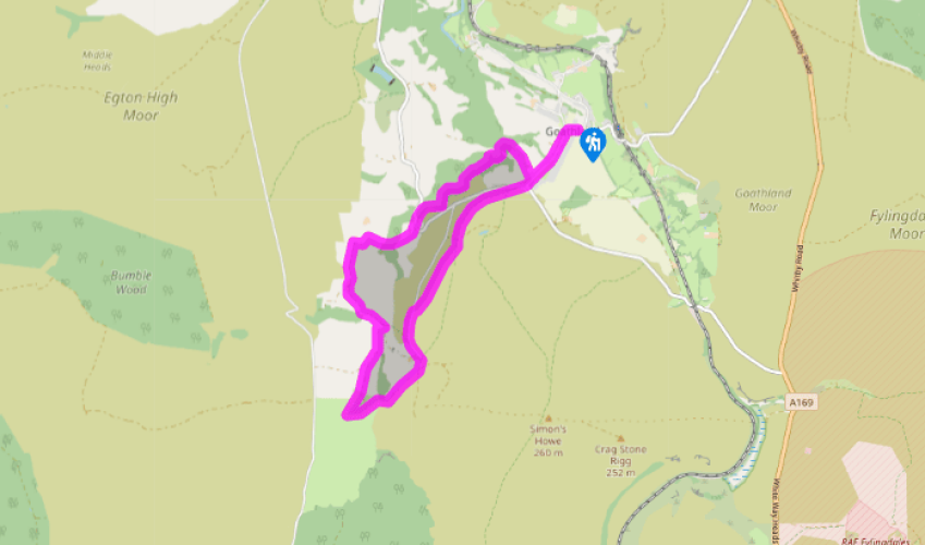
Walk directions
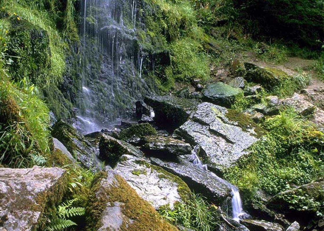
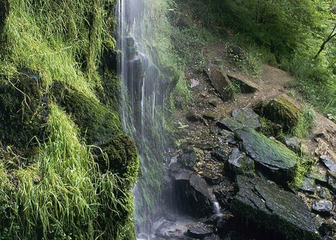
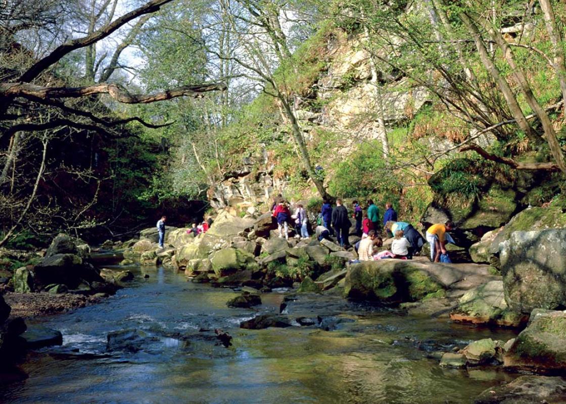
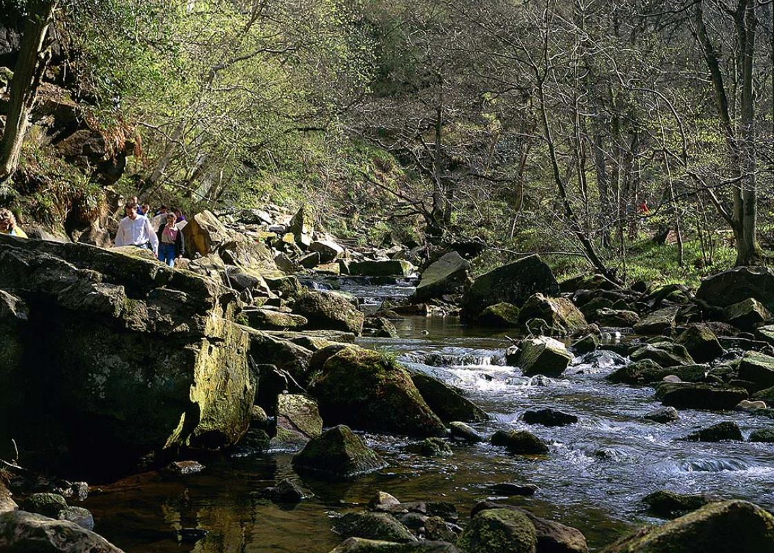
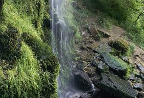
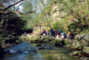
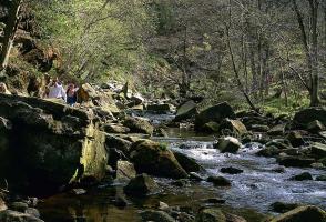
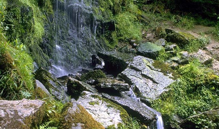
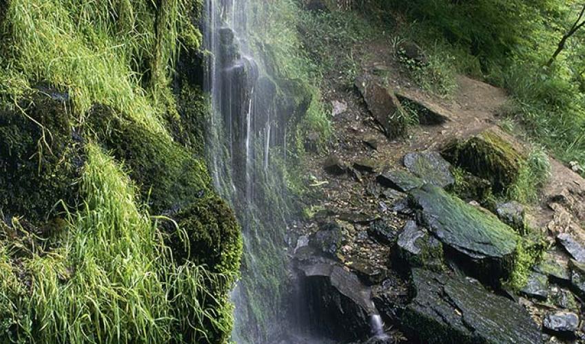
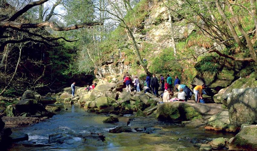
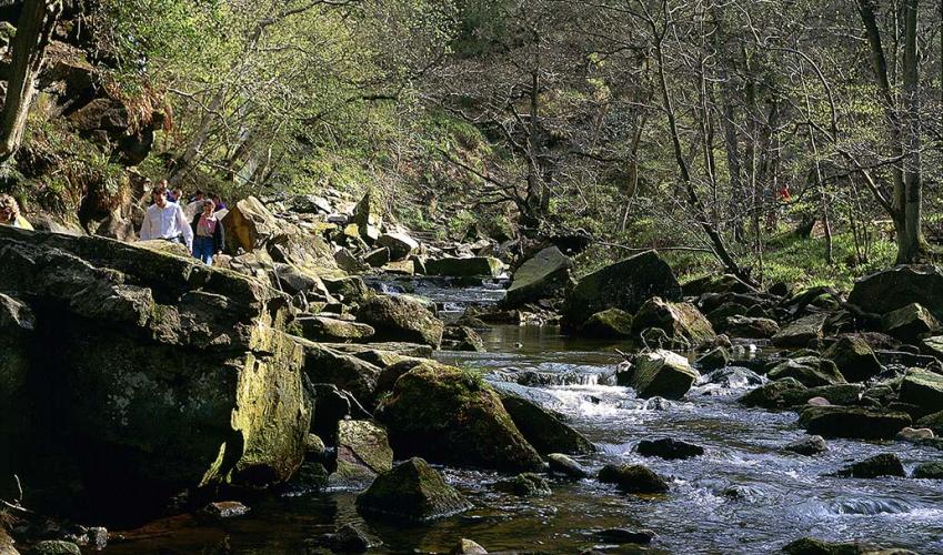
From the village car park, turn right to walk along the main road, along the pavement, until you reach the church. Cross the road then go through the kissing gate beside the Mallyan Spout Hotel, signed ‘Mallyan Spout’. Follow the path to a streamside signpost and turn left. Continue past the waterfall (take care after heavy rain). Follow the sometimes-difficult, rocky and boggy footpath over two footbridges, a stile and up steps, then for another 1.6km (1 mile), always beside the stream, to a stile onto a road beside a bridge.
Turn left along the road and climb the hill. Where the road bends left, go right through a gate and along a bridleway. Turn left down steps to go over a bridge, then ahead beside the New Wath Farm buildings, through a gate and across the field.
View all directions
Additional information
Terrain
- Rocky streamside tracks, field and moorland paths, 5 stiles
Landscape
- Deep, wooded valley, farmland and open moorland
Dog friendliness
- Dogs should be on lead
Parking
- Goathland village, has a large car park
Toilets en route
- Goathland village
About the walk
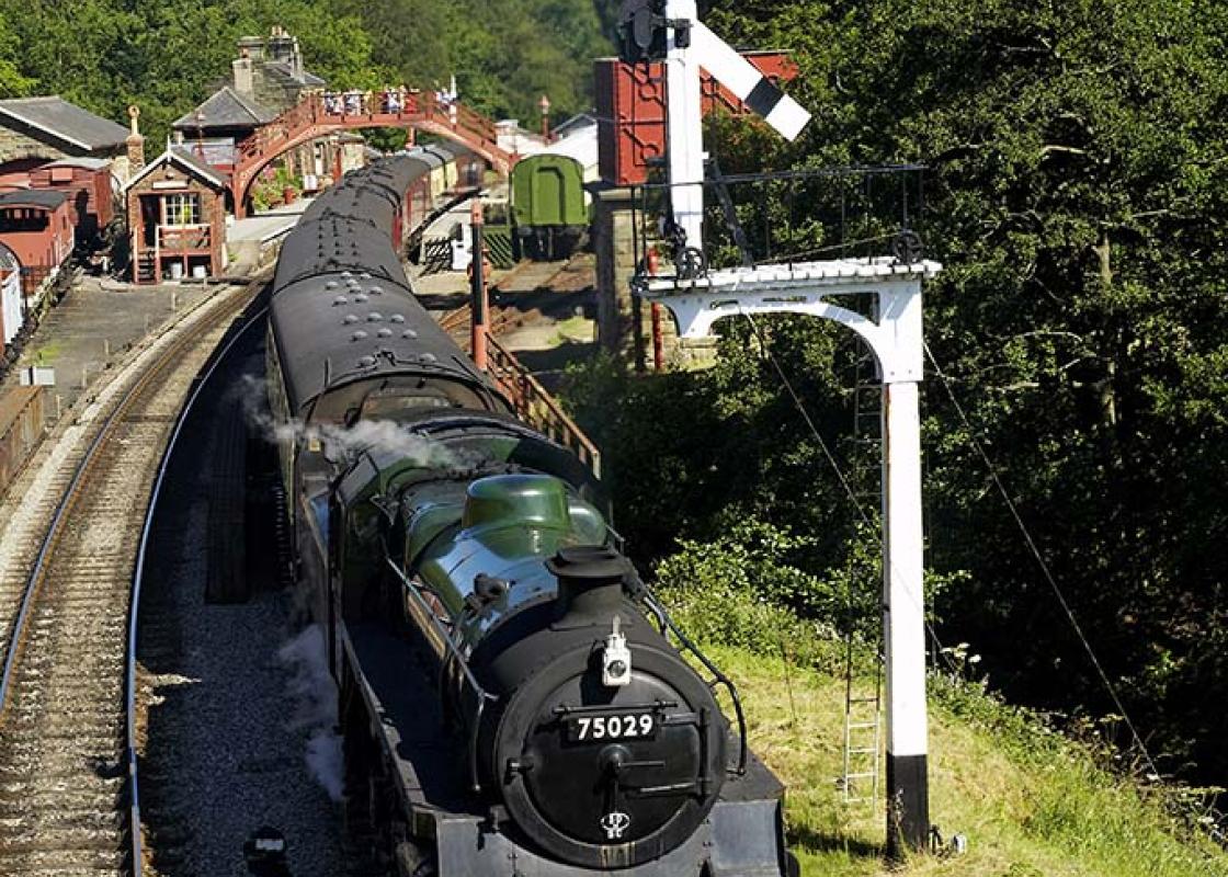
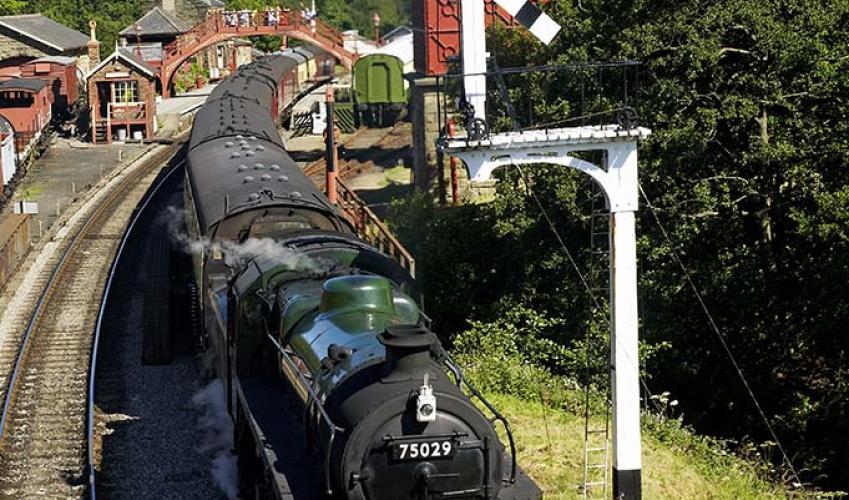
Goathland is one of the most popular destinations for visitors to the North York Moors National Park. Its situation, around a large open common, crisscrossed by tracks and kept closely cropped by grazing sheep, has always been attractive. Today, however, many tourists are drawn to Goathland because...
Read more

Been on this walk?
Send us photos or a comment about this route. Or recommend a route of your own.

Walking in Safety
Read our tips to look after yourself and the environment when following this walk.

Get an AA guide
Explore our range of ‘50 Walks in’ guides - they’re the ideal companion for a ramble.
Been on this walk?
Send us photos or a comment about this route. Or recommend a route of your own.
Walking in Safety
Read our tips to look after yourself and the environment when following this walk.
Get an AA guide
Explore our range of ‘50 Walks in’ guides - they’re the ideal companion for a ramble.
About the area
North Yorkshire, with its two National Parks and two designated Areas of Outstanding Natural Beauty, is England’s largest county and one of the most rural. This is prime walking country, from the heather-clad heights of the North York Moors to the limestone country that is so typical of the Yorkshire Dales – a place of contrasts and discoveries, of history and legend.

Nearby places to stay
View all (8)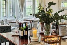


Nearby places to stay
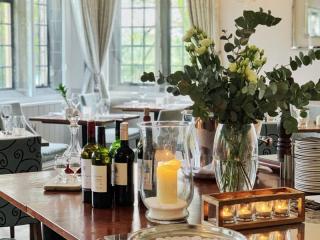
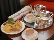
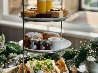
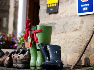
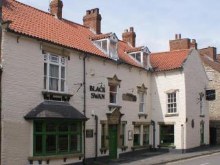
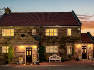
Mallyan Spout Hotel
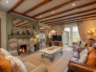
The Mallyan Spout Hotel is a charming Grade II-listed Victorian country house hotel accommodation in Goathland near Whitby offering high standards of service together with luxury accomm...
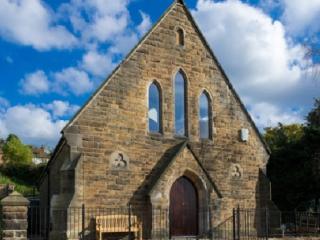
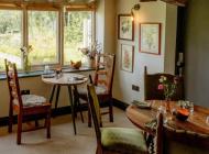
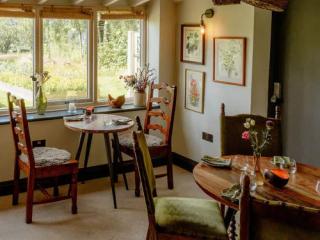
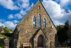
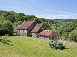
Chapel on the Hill, Limber View, Preachers Rest and Sunday Cottage
Chapel on the Hill, Limber View, Preachers Rest and Sunday Cottage are four charming cottages located in the heart of the North Yorks Moors. Limber View and Sunday Cottage are within a ...
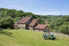
Kelp House
Just an hour’s drive from the city of York, Kelp House is surrounded by walks and tiny villages. Nestling in the picturesque hamlet of Littlebeck, this beautiful cottage is set within i...
Kelp House
Just an hour’s drive from the city of York, Kelp House is surrounded by walks and tiny villages. Nestling in the picturesque hamlet of Littlebeck, this beautiful cottage is set within i...
Cowslip Retreat at Unique Retreats
Awaiting description...
Unique Retreats
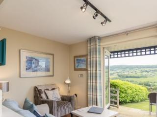
Expect breathtaking views over the North York Moors from the properties at Unique Retreats. Steam trains puff by in the valley and deer play in the field making the location excellent. ...
The Piggery at Unique Retreats
Awaiting description...
Cowslip Cottage at Unique Retreats
Awaiting description...
Places to eat nearby View all