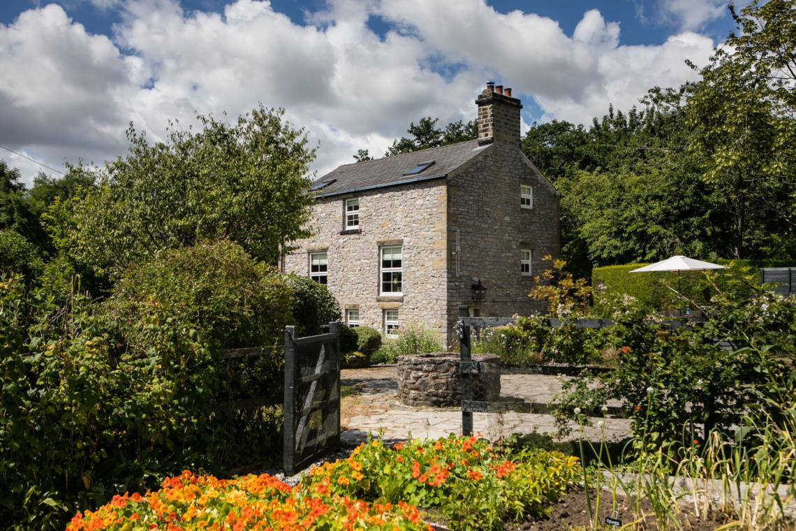


YHA Edale
An impressive, country house, YHA Edale Activity Centre is one of the highest residences in the…

Bronze Age forts and high grassy ridgelines
Edale
7 miles (11.3kms)
Called the Shivering Mountain because of the instability of its shale layers, Mam Tor is the largest (and most popular) of the Peak’s hill-forts and has the distinction of being the only one to be excavated. In the mid-1960s Manchester University selected Mam Tor as a training site for its archaeology students and this produced a wealth of fresh information about the fort. What can be seen today are the ramparts of a heavily fortified Iron Age settlement. The single rampart with an outer ditch and another bank can still be traced round the hillside. There were two entrances, one leading to the path from Hollins Cross and the other to the path to Mam Nick. Mam Tor was probably a partially defended site with a timber palisade that was later replaced with stone.
The excavations revealed that there had been a settlement here long before the Iron Age. Two early Bronze Age barrows were discovered on the summit, one of which the National Trust has capped in stone to make sure it is preserved. An earlier settlement on the ground enclosed by the ramparts was excavated. Here, several circular houses or huts had been built on terraced platforms on the upper slopes of the hill. The pottery and other artefacts uncovered are of a style often found in house platforms of this type and date from the late Bronze Age. Radiocarbon dating of charcoal found in the huts put them somewhere between 1700 and 1000 bc. Archaeologists G D B Jones and F H Thomson, writing about the discoveries at Mam Tor, suggested that the fort might have been built as a shelter for pastoralists using the hills for summer grazing, but decided in the end that it was more likely to have had a strategic military purpose. Depending on when it was actually built, it could have seen action during inter-tribal struggles of the native Brigantes. During a later period it may have been used as a strategic defence against the advancing Romans. Like most settlements from this far back in time, Mam Tor will probably never reveal all its secrets. However, standing on the summit and looking over the valleys, back along the path to Hollins Cross or forward to Rushup Edge, it’s enough just to try to imagine the effort that went into building such a fortification with nothing but the most primitive of tools.
Exit the car park beside the public toilets and turn right on to the village road. Go under the railway bridge and past The Rambler Inn. Pass the Moorland Centre then take a footpath right by the churchyard. Cross a stream then fork right and across waymarked fields to a road – on the way, you will pass a barn and take a dirt track under the railway line.
Cross the road, picking up the path again which joins a farm drive. Head directly uphill past a large stone barn. As the track bends left to a second barn continue uphill, signed to Hollins Cross, then into steeper and rougher pasture, following a short section of boardwalk A steeper well-used path leads to a waymarker; the path heads more diagonally up the slope now then forks left to join a wide bridleway to Hollins Cross.
Fork right on a wide slabbed path which leads over the summit of Mam Tor. As you pass the summit and descend to a road, look out for small bronze castings in the stone path – these represent items that may have been common during Mam Tor’s use as a fort.
At the road, take a few paces left then cross over to a gate. Take a broad bridleway path rising steeply on to Rushup Edge. Here, walkers head right of a fence and directly on the ridgeline – a bikers’ bridleway rejoins your footpath just over a mile (1.8km) along the ridge and after four stiles. About 500yds (457m) beyond this, fork right on a wide sandy track (Chapel Gate).
Bend right with the main sandy track as a slabbed path forks ahead over Brown Knoll. This soon descends steeply – you may well find a narrow trod on the left is the pleasant way to descend (particularly if the track is popular with mountain bikers). Go through two gates on the descent. Immediately after the second, fork left through a walkers’ gate.
Head diagonally right and downhill, crossing a stile and passing the remnants of two gateways between fields, then bend left beside a ruined wall to a gate. There are several stiles in the next section – follow a fence downhill to some tumbledown buildings, bend right around these, then across a farm road. Follow the continuation of the waymarked footpath to a road.
Turn right on to this, then left at a T-junction by a bend. Take the second left into the hamlet of Barber Booth, bend right, then turn left on a stony track signposted to Edale Station. After a railway bridge bend right and through fields. Stay left towards Edale Village at a first waymarked junction then fork right at a second (just after a farm driveway). Cross straight over the next field then continue along a field-top path to Edale. Turn right on the road to return to the car park.
Mainly good, but can be boggy in wet weather
Farmland, ridgeline path, meadowland
Keep on lead near livestock
OS Explorer OL1 Peak District - Dark Peak Area
Edale pay car park
Edale car park and at Moorland centre
This area is popular with mountain bikers, so keep an eye out for them on bridleways and on the Chapel Gate track
Read our tips to look after yourself and the environment when following this walk.
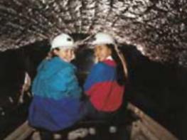
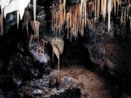
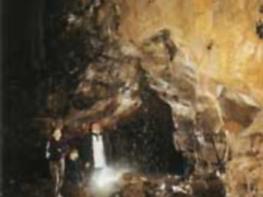
The natural features of this central English county range from the modest heights of the Peak District National Park, where Kinder Scout stands at 2,088 ft (636 m), to the depths of its remarkable underground caverns, floodlit to reveal exquisite Blue John stone. Walkers and cyclists will enjoy the High Peak Trail which extends from the Derwent Valley to the limestone plateau near Buxton, and for many, the spectacular scenery is what draws them to the area.
The county is well endowed with stately homes – most notably Chatsworth, the palatial home of the Duke and Duchess of Devonshire, with its outstanding collections of paintings, statuary and art. Other gems include the well preserved medieval Haddon Hall, the Elizabethan Hardwick Hall, and Kedleston Hall, whose entrance front has been described as the grandest Palladian façade in Britain.
The spa town of Matlock is the county’s administrative centre and other major towns of interest include Derby and the old coal mining town of Chesterfield, with its crooked spire. Around the villages of Derbyshire, look out for the ancient tradition of well dressing, the decorating of springs and wells – the precious sources of life-sustaining water – with pictures formed from flowers.
Discover more than 15,000 professionally rated places to stay, eat and visit from across the UK and Ireland.
Choose a place to stay safe in the knowledge that it has been expertly assessed by trained assessors.
Search by location or the type of place you're visiting to find your next ideal holiday experience.
Read our articles, city guides and recommended things to do for inspiration. We're here to help you explore the UK.