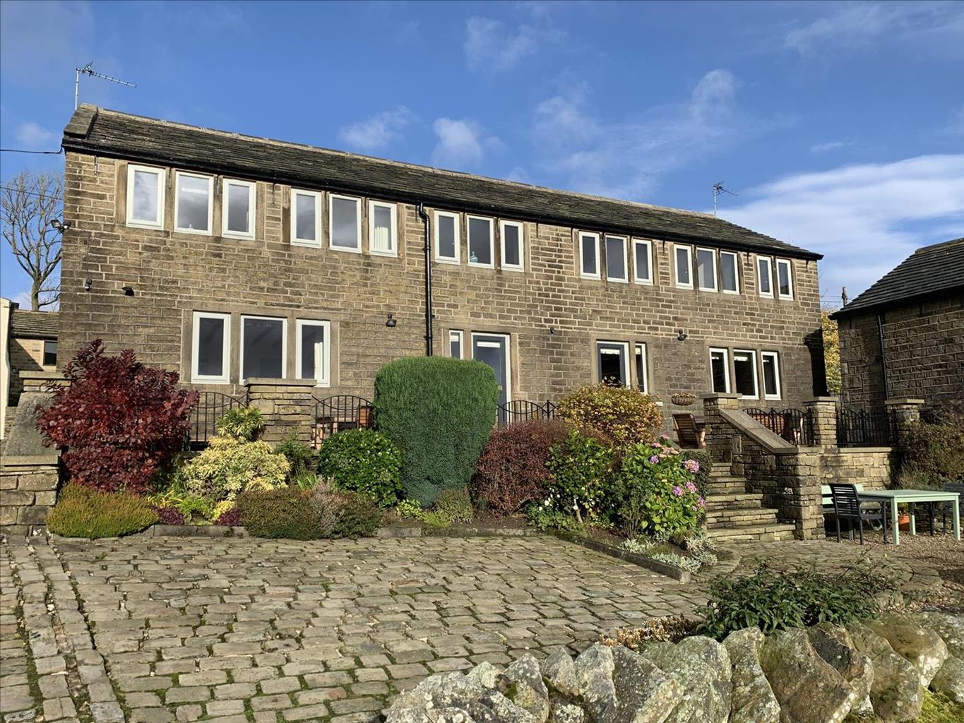
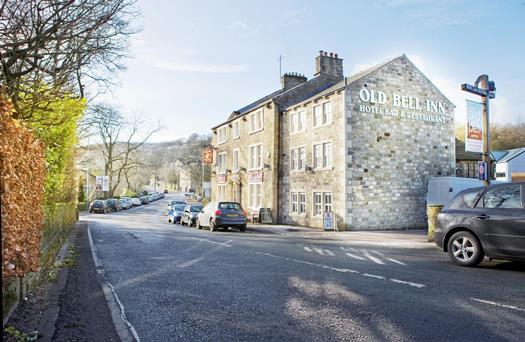


The Old Bell Inn
Formerly a coaching inn dating back to 1835 and situated in a rural village yet close to…

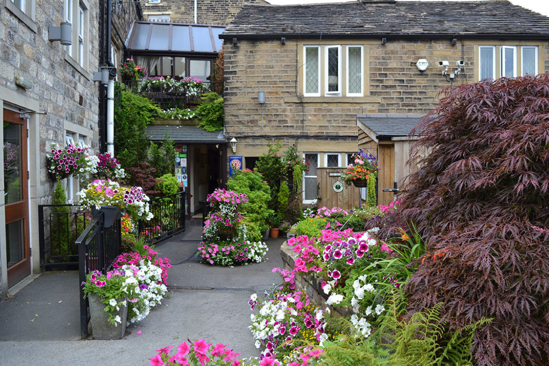
Explore the landscape above Marsden
Marsden
1.6 miles (2.6kms)
Sore toes? Blisters? If the walks in this book take their toll on your feet, then spare a thought for the leggers. When Standedge Tunnel was dug to carry the Huddersfield Narrow Canal under the Pennines between 1794 and 1811, it was built without a tow path; that would have required a wider, more expensive bore. The horses that drew the unpowered barges therefore had to be unhitched and led from Marsden, over Standedge Moor to Diggle, ready to continue the journey.
The boats, meanwhile, were ‘legged’ through the tunnel. Men would lie either on their backs on the boat’s roof or on a plank across its bow and propel it along by pressing their feet against the roof or sides – effectively walking on the ceiling or along the walls.
In smaller canal tunnels this was easily handled by the boat’s crew but in Standedge it was no small feat. At 3.25 miles (5.3km) long it is Britain’s longest canal tunnel. The leggers here were professionals and a team of experts could get an unladen craft through in 80 minutes – little more than it would take a strong walker to cover the same distance above ground – while a laden boat might take three hours. For that they’d earn a shilling and sixpence – worth seven and a half pence in new money.
Four passing places had been built in the tunnel but as traffic grew bottlenecks developed and fights ensued as crews refused to give way to boats from the opposite direction. In response, the canal company insisted that boats use their own leggers, and introduced a traffic management system. A convoy would enter the tunnel at one end and a chain was fastened across the entrance after the last boat. The horses, together with the bargees’ children, would be led over the moor by a company employee who would unchain the other end in time for the convoy to emerge. The return journey of around 7 miles (11.3km) would be undertaken at least twice a day.
Though the canal had opened in 1799, it was another 12 years before the tunnel was ready. In the meantime, loads had to be transferred by packhorse over the moors between Marsden and Diggle. Ironically, it was the canal network that helped do away with the packhorse trade. In a twist of fate, however, three railway tunnels parallel to Standedge canal tunnel were dug between 1847 and 1894 and their spoil was taken through connecting bores for removal by canal boat. Before long, the railways had seen off much of Britain’s canal business. Huddersfield Narrow Canal closed in 1943, the tunnel was locked in 1951. Both have since been restored and re-opened to cater for the leisure trade and are the focus of an excellent visitor centre close to the tunnel entrance and open from March to October inclusive.
Leave the car park and cross the road bridge spanning the canal and railway. Turn right and after 50yds (46m) take Spring Head Lane steeply up to a white-painted house. Bear right, between yellow metal posts, along a grassy path. Where this meets a driveway, turn left through a kissing gate to ascend a walled lane. Just beyond the point at which another path joins yours from the left, the lane reaches a T-junction.
Turn left along a rough lane, between farm buildings. Beyond, the lane offers excellent views. Bear left at a junction, down the Kirklees Way, on a track which soon swings right to pass two farms.
Just before a house named Tong Lee Head, turn left, through a gate in the wall and down a steep grassy path. It crosses a private lawn and descends steps by a house before crossing a stile, emerging next to the Tunnel End Inn. Cross Waters Road into the grounds of the Standedge Tunnel Visitor Centre.
Join the Huddersfield Narrow Canal’s tow path from the disabled parking area within the visitor centre grounds, crossing the canal on a short bridge before dropping to the tow path, signed towards Marsden. When you reach Lock 42 East, 0.5 miles (800m) later, you’re back at the start.
Country lanes and canal tow path; 1 stile
Valley-side tracks and waterways, with views to peaty uplands
Dogs should be under close control throughout
OS Explorer OL21 South Pennines
Visitor Centre Car Park, south of the river
At the visitor centre along the route; disabled toilets are at Tunnel End’s cafe
Read our tips to look after yourself and the environment when following this walk.
Discover more than 15,000 professionally rated places to stay, eat and visit from across the UK and Ireland.
Choose a place to stay safe in the knowledge that it has been expertly assessed by trained assessors.
Search by location or the type of place you're visiting to find your next ideal holiday experience.
Read our articles, city guides and recommended things to do for inspiration. We're here to help you explore the UK.