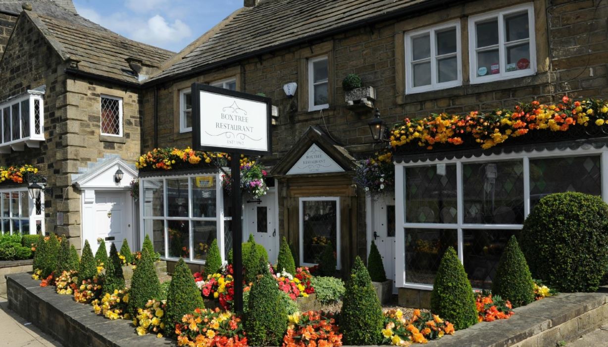
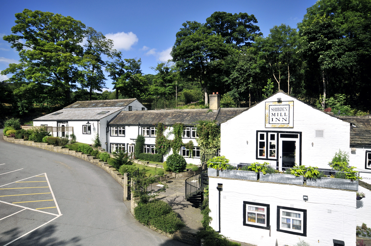
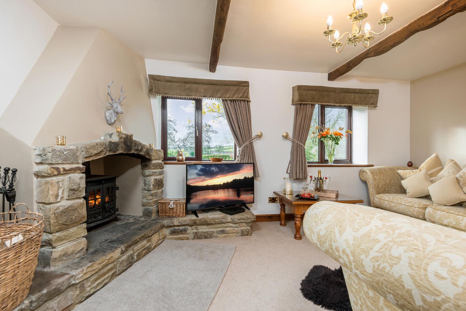
Higher Scholes Cottage
Higher Scoles Cottage is set in the heart of Brontë Country and commands stunning views of the…

A varied walk, from intimate woodlands to the breezy moor tops.
Laycock
8 miles (12.9kms)
To the west of Keighley a tranche of moorland sits astride the border between Yorkshire and Lancashire. Here you can walk for miles without seeing another hiker – and perhaps with just curlew and grouse for company.
When we think of textile mills, we tend to associate them with cramped towns full of smoking chimneys. But the earliest mills were sited in surprisingly rural locations, often in the little steep-sided valleys known as cloughs where fast-flowing becks and rivers could be dammed and diverted to turn the waterwheels. There are reminders, in wooded Newsholme Dean, that even a watercourse as small as Dean Beck could be harnessed to provide power to a cotton mill in Goose Eye. Weirs along the beck helped to maintain a good head of water, and one of the mill dams is now popular with anglers.
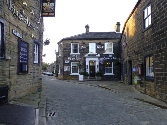
The village of Laycock contains a number of handsome old houses in the typical South Pennine style. While Laycock sits on the hillside, with good valley views, neighbouring Goose Eye nestles in a hollow. The village was originally called 'Goose Heights', which the local dialect contracted to 'Goose Ay', and thence to the name we know today. Lovers of real ale will already be familiar with the name, as this is the home of the Goose Eye Brewery.
Walk through the village of Laycock. Where the road narrows, go left down a paved track, Roberts Street. Beyond terraced houses, descend along a narrow walled path to emerge on to a road, which you follow down into Goose Eye. Pass The Turkey Inn. Just 50yds (46m) after you cross Dean Beck, take the steps on your right and re-cross the beck on a footbridge. Follow the beck upstream and take a footbridge on the right, across the channel of a now-dry mill leat.
Carry on up the wooded valley, later passing through a gap in a wall. Ignore a path off right and keep ahead, breaking onto a more open hillside. Before long, the way passes behind a farmhouse to join a farm track. Go left but then branch right on a rough track signed to Slippery Ford. Carry on through a gate, later fording a stream. Just beyond, fork right on a rising hollow path, which later develops as a track. Eventually swinging right it climbs to meet a lane.
Walk left along the road for 75yds (68m) before taking an access track on the left leading down to Bottoms Farm. Entering the yard, waymarks indicate a small gate to the right. Skirt beside a barn to a stile from which a path to the left continues across the hillside. Through a gate, carry on over stiles across a succession of fields. At the far side of the fourth field, drop left to find a confluence of two streams. Ford the side beck to a gate and carry on at the edge of another field above the main stream. Reaching the field corner, turn up beside the wall, climbing to a gate near the top of the rise beside Slitheroford Farm. Walk through the yard and out to a lane. Follow the road down to the left to the beck at Morkin Bridge.
Reaching Morkin Bridge, turn off right to follow a metalled track through a gate. It rises steadily onto the moors above the fold of Morkin Beck, passing the lonely farm of Higher Intake and eventually leading to Keighley Moor Reservoir, the highest point on the walk.
Walk left, across the top of the dam. At the far end, ignore the signed track to the right and instead bear left at a concrete post along a gently descending moorland track. At a boggy section keep ahead, the vague path eventually becoming more distinct as it joins a wall. Follow it for 150yds (137m) to a gateway, turn through and then bear half right to cross a line of grouse butts on a distinct but narrow path through the heather. Eventually, on meeting a track, follow it right over a cattle grid.
Soon leaving the moorland behind, Broad Head Lane runs straight for 0.75 miles (1.2km). Meeting a road by a farm, cross to a track opposite and follow it to cottages at Newsholme.
Wind forward between the houses and follow a lane downhill. After 250yds (229m), opposite the entrance to Green End Farm, turn left. Degrading to a track, the way eventually swings across a beck to meet a road. Follow it left down to Goose Eye and The Turkey Inn. Carry on steeply uphill to where the lane swings sharp left, there branching off right to reverse your outward route up Roberts Street back to Laycock.
Good paths and tracks, though can be muddy, take care with route finding, several stiles
Wooded valley and heather moorland
On leads where sheep graze on sections of moorland
OS Explorer OL21 South Pennines
In Laycock, roadside parking at Keighley end of village, close to village hall
None on route
Read our tips to look after yourself and the environment when following this walk.
Everybody knows that Yorkshire has some special landscapes. The Dales and the Moors first spring to mind, but what about West Yorkshire? That’s Leeds and Bradford isn’t it? Back-to-back houses and blackened mills… Certainly if you had stood on any of the hills surrounding Hebden Bridge a hundred years ago, and gazed down into the valley, all you would have seen was the pall of smoke issuing from the chimneys of 33 textile mills. But thankfully, life changes very quickly in West Yorkshire. The textile trade went into terminal decline, the mills shut down forever and in a single generation Hebden Bridge became a place that people want to visit.
The surrounding countryside offers walking every bit as good as the more celebrated Yorkshire Dales; within minutes you can be tramping across the moors. And this close proximity of town and country is repeated all across West Yorkshire. There’s such diversity in the area that you can find yourself in quite unfamiliar surroundings, even close to places you may know very well. Take time to explore this rich county and you will be thrilled at what you find to shatter old myths and preconceptions.
Discover more than 15,000 professionally rated places to stay, eat and visit from across the UK and Ireland.
Choose a place to stay safe in the knowledge that it has been expertly assessed by trained assessors.
Search by location or the type of place you're visiting to find your next ideal holiday experience.
Read our articles, city guides and recommended things to do for inspiration. We're here to help you explore the UK.