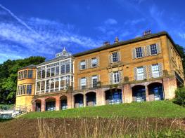
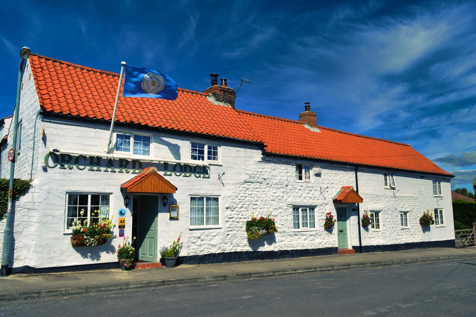

Filey Holiday Cottages
Many of Filey Holiday’s rural-style cottages overlook the central gardens. Inside, thanks to…

A walk in North Yorkshire’s eastern extremity, where prehistoric man lived and died.
Muston
3.75 miles (6kms)
A little inland from the rocky peninsula of Filey Brigg, which marks the end (or the start) of both the Cleveland Way and the Wolds Way, is peaceful pasture and arable land bounded on the south by the first slopes of the chalk escarpment of the Yorkshire Wolds. It is fertile land, once wet with bog but long-since drained and farmed. The local name for this landscape – The Carrs – is from an Old Norse word meaning boggy ground.
Some of Britain’s earliest inhabitants lived around here – not, like their successors, on the Wolds themselves, but in refuges among the reeds and willows. Most of the details of their civilisation have long since disappeared, with burial sites vanishing under the plough. Fortunately, however, we know much about one inhabitant, now known as Gristhorpe Man. In 1834 workmen, employed by the local landowner, William Beswick, in Gristhorpe, dug into an ancient burial mound on the Carrs near the village. Under a covering of oak branches they discovered a coffin lid carved with a face (which they later trampled on and made unrecognisable!). The coffin was made from a single oak log, with lichened bark still adhering to it. Inside was the complete skeleton of a man, more than 6ft (1.8m) tall, with his legs drawn up to his chest. His body had been wrapped in fine animal skin, secured by a bone pin. With him were a bronze dagger head and a bone pommel for it, as well as a flint knife. By his side was a bark dish stitched with strips of animal skin or sinew. It is believed that he is probably more than 4,000 years old, and is likely to have been a Bronze Age chieftain, who died in his forties. Gristhorpe Man’s skeleton and other artefacts are on display in Scarborough’s Rotunda Museum.
You will get a fine view of Gristhorpe Man’s homeland from the first part of the walk as you ascend from Muston onto the slopes of Flotmanby Wold. This is part of the long distance Wolds Way, which runs 79.5 miles (128km) from Hessle Haven on the banks of the Humber to Filey Brigg. If the weather is decent, you will be able to see the Brigg to the northeast while, further to the north, Scarborough is clearly visible.
The walk descends along an ancient ‘hollow way’ route; this may once have been part of a major prehistoric route from the Wolds on to the watery peat landscape of The Carrs. Today, The Carrs are criss-crossed with drainage ditches that include the evocatively-named Old Scurf and the channelled River Hertford, which was cut in 1807. To the north is the Hull–Scarborough railway line; there was a railway station just southwest of Gristhorpe village. The walk continues by the Main Drain and alongside Muston Bottoms to Muston village, which is worth exploring for its range of excellent vernacular houses, many built of chalk, with their typical pantiled roofs.
From the Ship Inn walk along West Street which eventually becomes Flotmanby Lane (A1039) in the direction of Folkton. After the houses end, and just before the stone holding the Muston village sign on the right, take a waymarked stile in the hedge on your left, signed ‘Yorkshire Wolds Way’. Go forward with the hedge on your right. The path becomes a track. Follow the Wolds Way signs uphill through two kissing gates. At the top right-hand corner of the next field go through a kissing gate and continue ahead to the next signpost.
Go over the embankment then turn right down the track, following the bridleway sign. Continue downhill along the field edge, in a hollow way. It comes into a field, which you walk straight across to reach the main road, Flotmanby Lane.
Cross the road and walk through the buildings of Manor Farm, bearing right along the track by a barn. The track eventually bears left and crosses a stream, then reaches a drainage channel that is crossed by a concrete bridge with metal rails.
Cross the bridge and turn right at the end, along the side of the channel. Follow the track to the next bridge. Do not cross, but continue straight ahead, still following the channel. Go through a waymarked gate and continue ahead; the drainage channel eventually swings right, away from the path. Continue through two more waymarked kissing gates.
Just before bending right to another gate, turn left. Walk up the field side with the hedge to your right. Follow the hedge as it bends round to the right. The path reaches a waymarked gate. Go through the gate onto a track called Carr Lane.
Follow Carr Lane between the hedges and past farm buildings. Eventually the lane becomes metalled and passes a row of houses to reach a T-junction before a green.
Turn right, then right again at the main road. Follow the main street of Muston as it winds through the village, past All Saints Church, to the Ship Inn.
Field paths and tracks, muddy after rain, several stiles
Hillside, then flat farmland
Livestock in fields, so dogs on lead
OS Explorer 301 Scarborough, Bridlington & Flamborough Head
Street parking in Muston, near the Ship Inn
None on route
Read our tips to look after yourself and the environment when following this walk.
North Yorkshire, with its two National Parks and two designated Areas of Outstanding Natural Beauty, is England’s largest county and one of the most rural. This is prime walking country, from the heather-clad heights of the North York Moors to the limestone country that is so typical of the Yorkshire Dales – a place of contrasts and discoveries, of history and legend.
The coastline offers its own treasures, from the fishing villages of Staithes and Robin Hood Bay to Scarborough, one time Regency spa and Victorian bathing resort. In the 1890s, the quaint but bustling town of Whitby provided inspiration for Bram Stoker, who set much of his novel, Dracula, in the town. Wizarding enthusiasts head to the village of Goathland, which is the setting for the Hogwarts Express stop at Hogsmeade station in the Harry Potter films.
York is a city of immense historical significance. It was capital of the British province under the Romans in AD 71, a Viking settlement in the 10th century, and in the Middle Ages its prosperity depended on the wool trade. Its city walls date from the 14th century and are among the finest in Europe. However, the gothic Minster, built between 1220 and 1470, is York’s crowning glory.
Discover more than 15,000 professionally rated places to stay, eat and visit from across the UK and Ireland.
Choose a place to stay safe in the knowledge that it has been expertly assessed by trained assessors.
Search by location or the type of place you're visiting to find your next ideal holiday experience.
Read our articles, city guides and recommended things to do for inspiration. We're here to help you explore the UK.