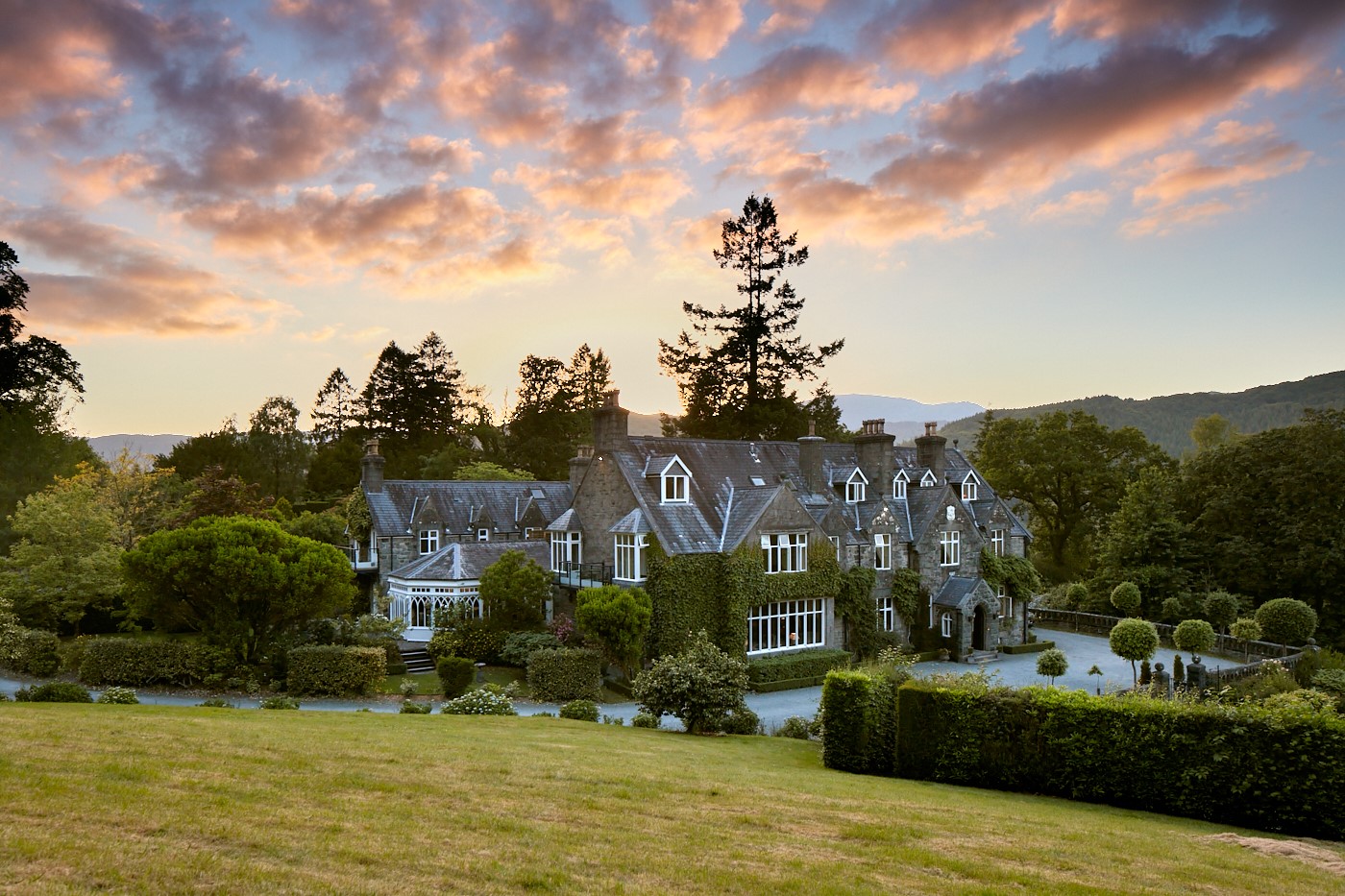

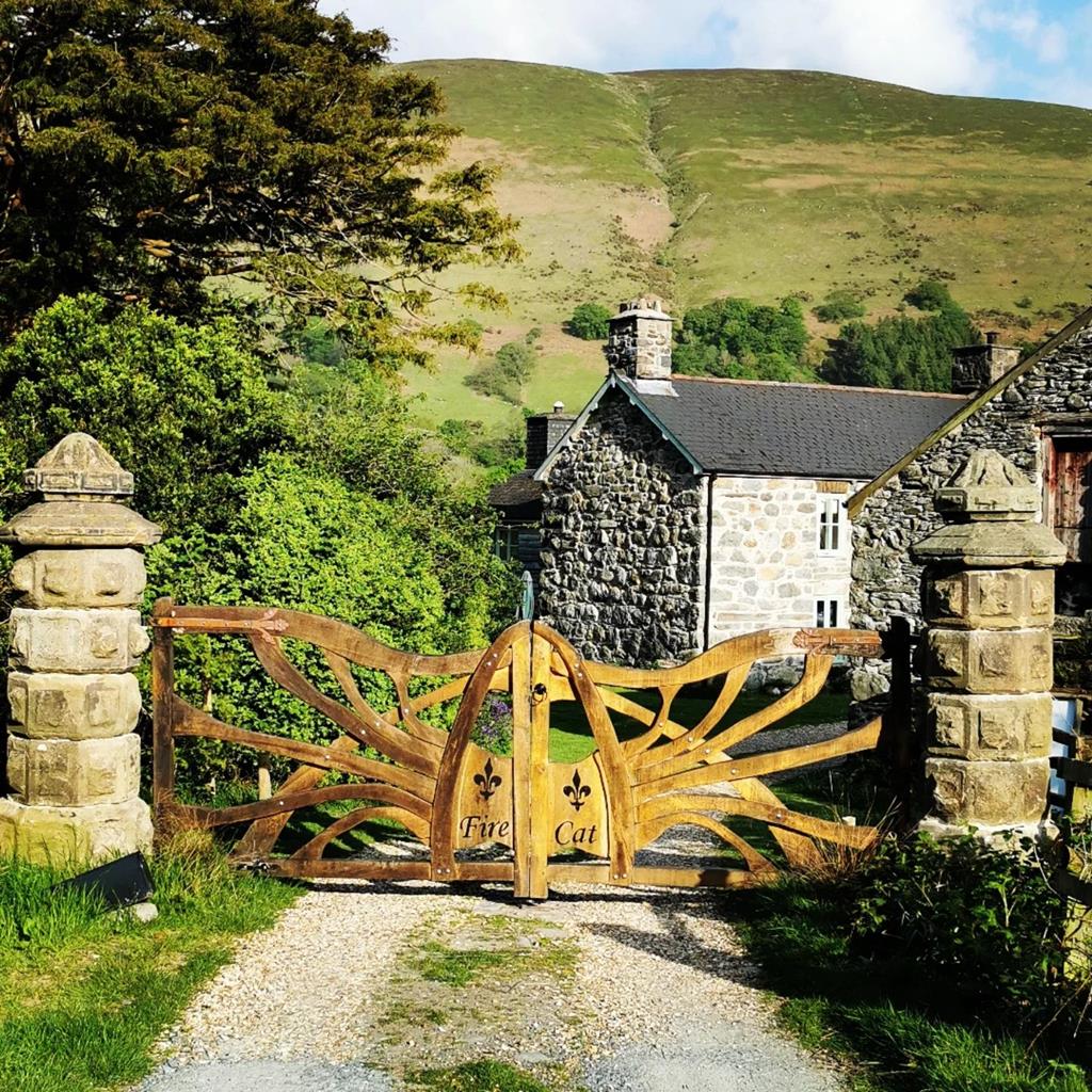

Ty Mawr Hotel
Ty Mawr translates as 'Big House' and this particular house is located in the picturesque…

Nantcol
5.5 miles (8.9kms)
It was then home of Colonel John Jones who was the Member of Parliament for Merionnydd. The Barmouth and Harlech areas were strong supporters of the Crown, Harlech being one of the last strongholds to surrender to the Parliamentarians. But Jones wasn’t one of the Royalists. He married Cromwell’s sister and took an active part in the war, and was one of the signatories of Charles I’s death warrant. Colonel Jones would gain much power from his associations. Unfortunately the death of Cromwell and the Restoration was untimely, for Charles II remembered him and condemned him to death. Diarist Samuel Pepys noted that the steaming remains of Jones’ hung, drawn and quartered body were dragged all over the streets of London. The road ends just beyond the farm and a good stony path climbs into Bwlch Drws-Ardudwy, a dark pass between the cold grey ramparts of Rhinogs Fawr and Fach. This was a drovers’ route along which the Welsh Black cattle would have been driven to the markets of the Marches and the Midlands. The drovers would have been armed and mob-handed, but for the solo traveller in times gone by this would have been a fearsome place: a place frequented by robbers and highwaymen. No traveller would choose to be here without either a fast
horse or a gun. In the depths of the pass the route turns away from Ardudwy and climbs right up a narrow path, beneath the smaller Rhinogs’ boulder slopes. The shallow lake, Llyn Cwmhosan, is attractive with its pale yellow ring of marsh grass contrasting with the dusky heather. The view back from here to the striated cliffs of the big Rhinog is stunning. However, the star of the show lies in wait, on a high hollow, uphill and around the corner: Rhinog Fach appears as a pyramid of boulders and scree, capped by crag. On the other side of the hollow lies Y Llethr, highest of the Rhinogs, displaying a little more greenery. In between the peaks are gigantic slabs of rock plunging at 45 degrees into the deep waters of the lake. The footpath back down visits another lake, Llyn Perfeddau, basking in yet more heather, that turns out to be even thicker. If you take a wrong choice of route here, you will be up to your knees in it. Sure enough, a little peat path descends to Perfeddau’s shores. Look back to see Rhinog Fach reflected perfectly in its waters, before making a return to the green fields of Nantcol.A fearsome place
Star of the show
Cil-cychwyn Farm is about 4 miles (6.4km) from Llanbedr and is best reached by heading east on the road immediately to the north of the bridge in Llanbedr, following signs for Rhaeadr Nantcol Waterfalls. Continue past the waterfalls and follow a sign for Cwm Nantcol, which will eventually lead to the parking area just before the farm. From Cil-cychwyn Farm, follow the narrow lane up the valley until you reach its end. Go left then right across a small stream to follow a narrow path, with a wall to your right, to a gate. Go through and continue into upper Nantcol. The path traverses the lower south flanks of Rhinog Fawr before entering the dark pass of Bwlch Drws-Ardudwy.
On reaching a marshy basin beneath Rhinog Fawr and Rhinog Fach, look for ladder stiles over the wall on the right. The first leads to a very steep short-cut that bypasses Llyn Cwmhosan. Preferably, take the second stile to a narrow path climbing through heather and passing the west shores of Llyn Cwmhosan, and beneath the boulder and screes of Rhinog Fach’s west face. Beyond this, the route comes to the shores of Llyn Hywel.
For the best views take the path left of the tarn, crossing bouldery screes, and up to the top of the huge Y Llethr Slabs that plummet into the lake. You could do a complete circuit of Llyn Hywel, but this would mean climbing much higher up the slopes of Y Llethr. It is much easier to retrace your steps to the lake’s outlet point, then continue along the west shore.
Turn right to follow a sketchy, narrow path down to Llyn Perfeddau which is soon visible. Nearing the lake, bear left on a faint path where the clearer path goes right.
Closely follow the wall running behind the lake. After about half a mile (800m), you’ll meet a clear grassy track that leads left past an old mine. Drop to meet a prominent track that winds past some mine workings before adopting a straighter course, passing a ruined farm.
Continue across high pasture and pass through the yard of Fferm Graig-Isaf farm before reaching the valley road at Cil-cychwyn.
Very rough, peaty paths through heather and farm tracks
Gnarled gritstone peaks with heather slopes
Can be off lead in upper heather-clad regions of walk
OS Explorer OL18 Harlech, Porthmadog & Bala
Small parking area just before Cil-cychwyn farm or Maes-y-garnedd, about half a mile further down the lane (small fee)
None on route
Read our tips to look after yourself and the environment when following this walk.
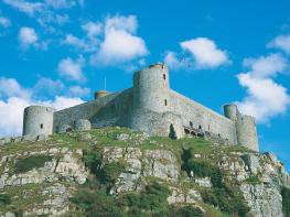
The county of Gwynedd is home to most of the Snowdonia National Park – including the wettest spot in Britain, an arête running up to Snowdon’s summit that receives an average annual rainfall of 4,473mm. With its mighty peaks, rivers and strong Welsh heritage (it has the highest proportion of Welsh-speakers in all of Wales), it’s always been an extremely popular place to visit and live. The busiest part is around Snowdon; around 750,000 people climb, walk or ride the train to the summit each year.
Also in Gwynedd is the Llyn Peninsula, a remote part of Wales sticking 30 miles out into the Irish Sea. At the base of the peninsula is Porthmadog, a small town linked to Snowdonia by two steam railways – the Welsh Highland Railway and the Ffestiniog Railway. Other popular places are Criccieth, with a castle on its headland overlooking the beach, Pwllheli, and Abersoch and the St Tudwal Islands. Elsewhere, the peninsula is all about wildlife, tranquillity, and ancient sacred sites. Tre’r Ceiri hill fort is an Iron Age settlement set beside the coastal mountain of Yr Eifl, while Bardsey Island, at the tip of the peninsula, was the site of a fifth-century Celtic monastery.
Discover more than 15,000 professionally rated places to stay, eat and visit from across the UK and Ireland.
Choose a place to stay safe in the knowledge that it has been expertly assessed by trained assessors.
Search by location or the type of place you're visiting to find your next ideal holiday experience.
Read our articles, city guides and recommended things to do for inspiration. We're here to help you explore the UK.