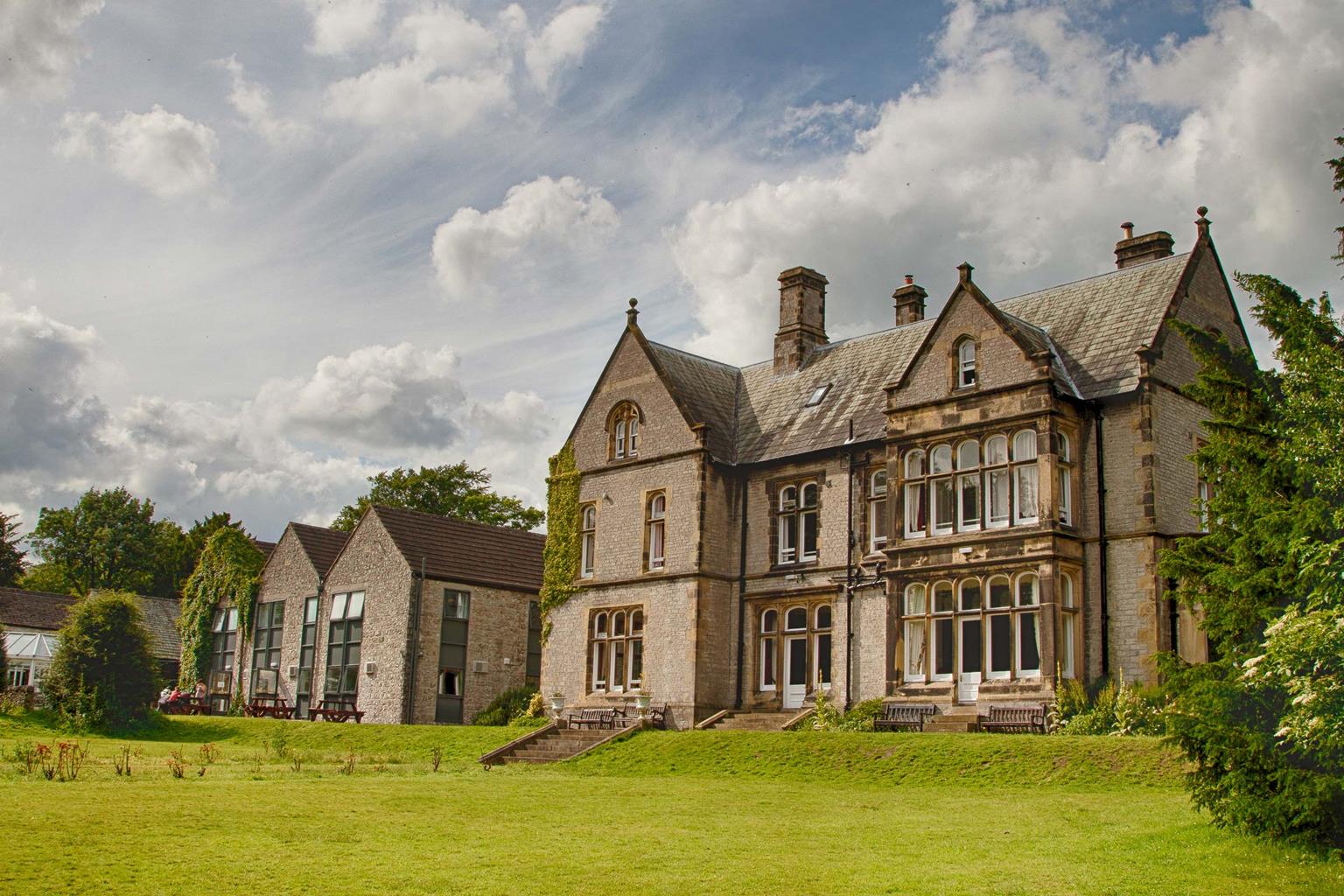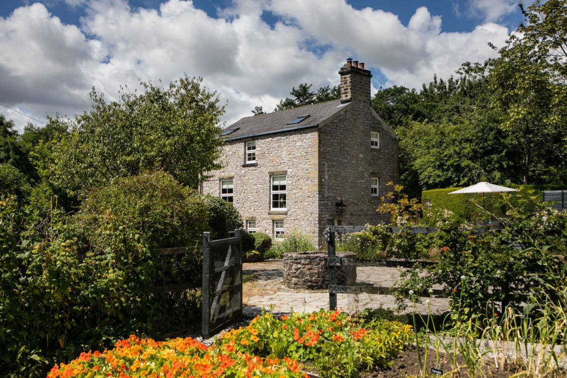
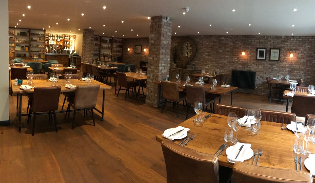
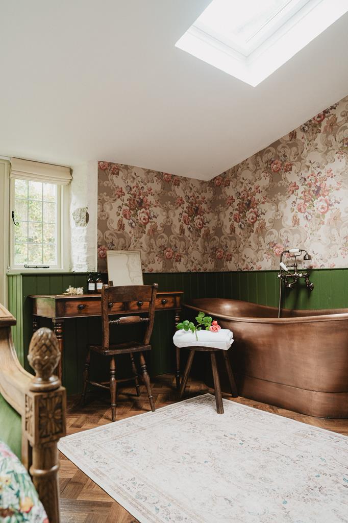
Lodge Cottage
A sprawling stone-built cottage with five bedrooms, copper bathtub, master suite, and hidden…

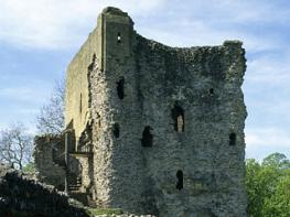
Castleton
9.25 miles (14.9kms)
Leaving Castleton beneath Peveril Castle’s Norman keep sets the scene for a walk through history. You’re treading the same ground as Roman soldiers and Celtic and Saxon warriors before you. The walk takes you on to the hillside beyond the sycamores of the River Noe. As you amble across green pastures overlooking the Hope Valley, cast your imagination back to the darker days of ad 926. Down there in the valley below you, a furious tribal battle ended in victory for King Athelstan, grandson of Alfred the Great. He would soon become the first Saxon ruler of all England.
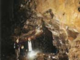
In one of those riverside fields the path comes across the earthwork remains of the Roman fort, Navio. Built in the time of Emperor Antoninus Pius, the fort stood at a junction of roads serving garrisons at Buxton, Glossop and Templeborough. At its peak it would have sheltered over 500 soldiers. It remained occupied until the 4th century, controlling the rich mining area around the Peak. Many relics from the fort are displayed at Buxton Museum.
Win Hill looms large in your thoughts as you cross the valley and climb towards it. As you’re passing through the hamlet of Aston take a quick look at Aston Hall. Built in 1578, it has an unusual pedimented window with a weatherworn carved figure. The doorway is surrounded by Roman Doric columns and a four-centred arch. Beyond the hall the climb begins in earnest up a stony track, then through bracken and grass hillside where Win Hill’s summit peeps out and spectacular views await. There are several theories on how the hill got its name. The most likely one is that it derives from an earlier name, Wythinehull, which meant Willow Hill. Another theory concerns two warlords: Edwin, the first Christian king of Northumbria, and Cuicholm, King of Wessex. Cuicholm murdered Lilla, Edwin’s maidservant, and Edwin sought revenge. Cuicholm assembled his forces on Lose Hill, while Edwin camped on Win Hill. Edwin was victorious and thus his hill was named Win Hill.
Turn left out of the car park and follow the main street as it winds left and right. After a quarter of a mile (400m), bear off to the right on a track signed to Hope. Beyond a farm, walk on beside Peakshole Water, shortly breaking away to cross a succession of fields. Later, after going through a small enclosed field, pass to the left of a hawthorn-topped hillock and then cross a railway line. The ongoing path leads to Pindale Road.
Go left and first right, leaving left after 100yds (91m) over a stile beside a gate. Head on across the field, passing through a gate to continue by the right boundary. Beyond a footbridge, cross the site of Navio Roman Fort and bear right over a final field to reach the B6049 at Brough.
Turn left. Immediately after the second bridge, cross a stile on the left and strike out to find a stile near the field’s distant right corner. Cross the busy A6187 with care and go left, leaving just after a cottage to cross through a gate on the right. Walk along the edge of the field, then cross a stile to a footpath with a fence on the left before exiting beside some houses.
Walk left towards the railway station, then go right along a narrow path to a footbridge over the line. Go right to a gate and head across more fields, keeping the hedge on your right. A contained path eventually leads out to a tarmac lane.
Go left and immediately right, uphill on a tarmac lane. At Edge Farm, swing left for an unsurfaced track along the top edge of a wood to a path junction above Twitchill Farm.
Turn right for the short ascent of Win Hill up the well-used path to the summit. From the summit trig column, leave in a westerly direction on a track (permitted footpath to Wooler Knoll) which stays on the ridgeline with fine views to both sides before passing through a gate to drop downhill and cross through a broken wall. Turn left soon after; at a path junction with a wooden waymarker.
Follow this path all the way to the bottom and join a lane. Turn left through a gate and continue downhill to its junction with the Edale Road. Go ahead, over Townhead Bridge, and follow the road left for just over 382yds (350m) until you reach a path on the right, just after Mead Farm and by a red post box in the wall.
Where the path ends, by buildings, go right towards Lose Hill on an enclosed path at the edge of a field. Fork left before a stile for a footpath signposted to Castleton that heads west to Spring House Farm. Turn left on to a lane in front of the farm, then immediatly right (signed Castleton) to walk on a track. Keep left at the junction and continue past Losehill Hall. Where the track bends left, go straight ahead on a gravelled path across fields. When it meets a rough track, turn left to pass the Outdoor Activity Centre (Hollowford Centre), then turn left on to a tarmac lane to return to Castleton.
Mainly firm field paths and hill tracks, although some slopes may be slippery after rain, many stiles
Riverside fields and high moors and pasture
Dogs on lead except for enclosed tracks
OS Explorer OL1 Peak District - Dark Peak Area
Main Castleton pay car park by visitor centre
At car park
Read our tips to look after yourself and the environment when following this walk.
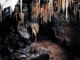
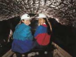
The natural features of this central English county range from the modest heights of the Peak District National Park, where Kinder Scout stands at 2,088 ft (636 m), to the depths of its remarkable underground caverns, floodlit to reveal exquisite Blue John stone. Walkers and cyclists will enjoy the High Peak Trail which extends from the Derwent Valley to the limestone plateau near Buxton, and for many, the spectacular scenery is what draws them to the area.
The county is well endowed with stately homes – most notably Chatsworth, the palatial home of the Duke and Duchess of Devonshire, with its outstanding collections of paintings, statuary and art. Other gems include the well preserved medieval Haddon Hall, the Elizabethan Hardwick Hall, and Kedleston Hall, whose entrance front has been described as the grandest Palladian façade in Britain.
The spa town of Matlock is the county’s administrative centre and other major towns of interest include Derby and the old coal mining town of Chesterfield, with its crooked spire. Around the villages of Derbyshire, look out for the ancient tradition of well dressing, the decorating of springs and wells – the precious sources of life-sustaining water – with pictures formed from flowers.
Discover more than 15,000 professionally rated places to stay, eat and visit from across the UK and Ireland.
Choose a place to stay safe in the knowledge that it has been expertly assessed by trained assessors.
Search by location or the type of place you're visiting to find your next ideal holiday experience.
Read our articles, city guides and recommended things to do for inspiration. We're here to help you explore the UK.