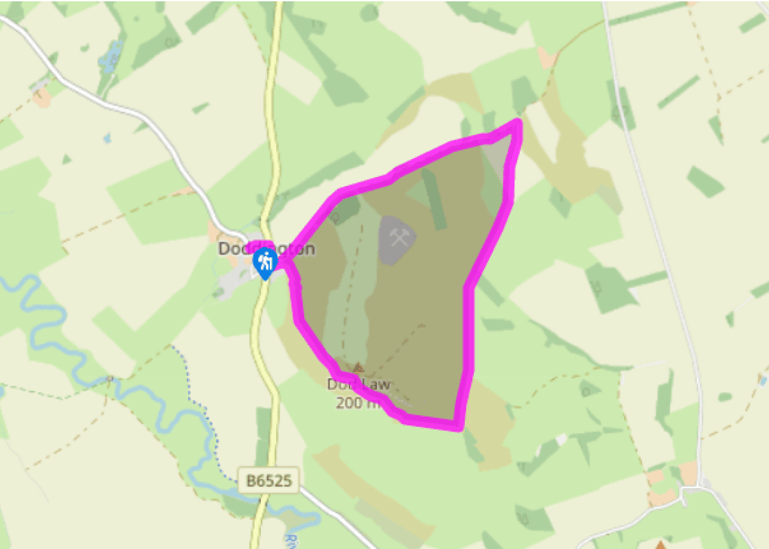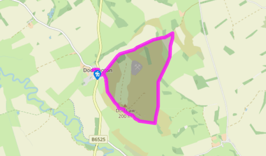
On Doddington Moor
Follow the main road south through the village, turning off beside a Victorian cross along a lane to Wooler Golf Club. Where it subsequently turns up to the golf club, keep ahead through a gate and continue on a gravel track. After dipping past a barn, the way climbs again, passing through another gate as it crests the hill. Walk on past a conifer plantation then look for a signpost to Weetwood Hill, beside a gate on the right.
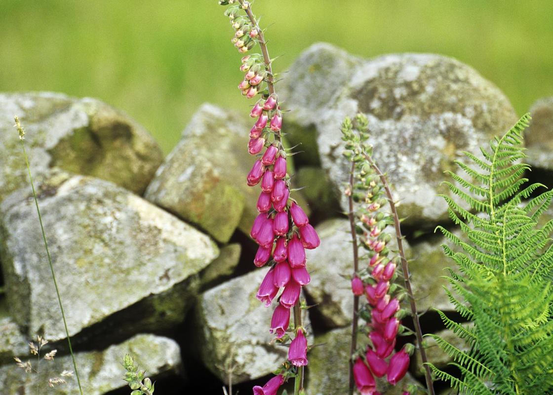
Swing right through a second gate into the corner of a field. Head across at a shallow angle from the left boundary, making for a stile by the distant far corner. Walk on, closing with a wall on the left to a second stile. Over to the right is the Iron Age hill-fort site of The Ringses, a trod leading out to it. The main route, however, continues ahead, shortly passing the end of a pine plantation. Keep going beside the left-hand wall, crossing another two stiles and on at the edge of heath until you reach a solitary standing stone, all that remains of the stone circle.

Been on this walk?
Send us photos or a comment about this route. Or recommend a route of your own.

Walking in Safety
Read our tips to look after yourself and the environment when following this walk.

Get an AA guide
Explore our range of ‘50 Walks in’ guides - they’re the ideal companion for a ramble.
Been on this walk?
Send us photos or a comment about this route. Or recommend a route of your own.
Walking in Safety
Read our tips to look after yourself and the environment when following this walk.
Get an AA guide
Explore our range of ‘50 Walks in’ guides - they’re the ideal companion for a ramble.

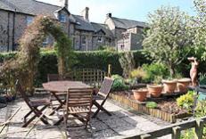
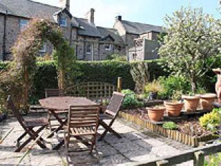
Nearby places to stay
View all (8)