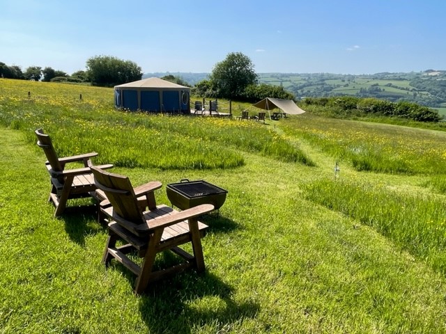
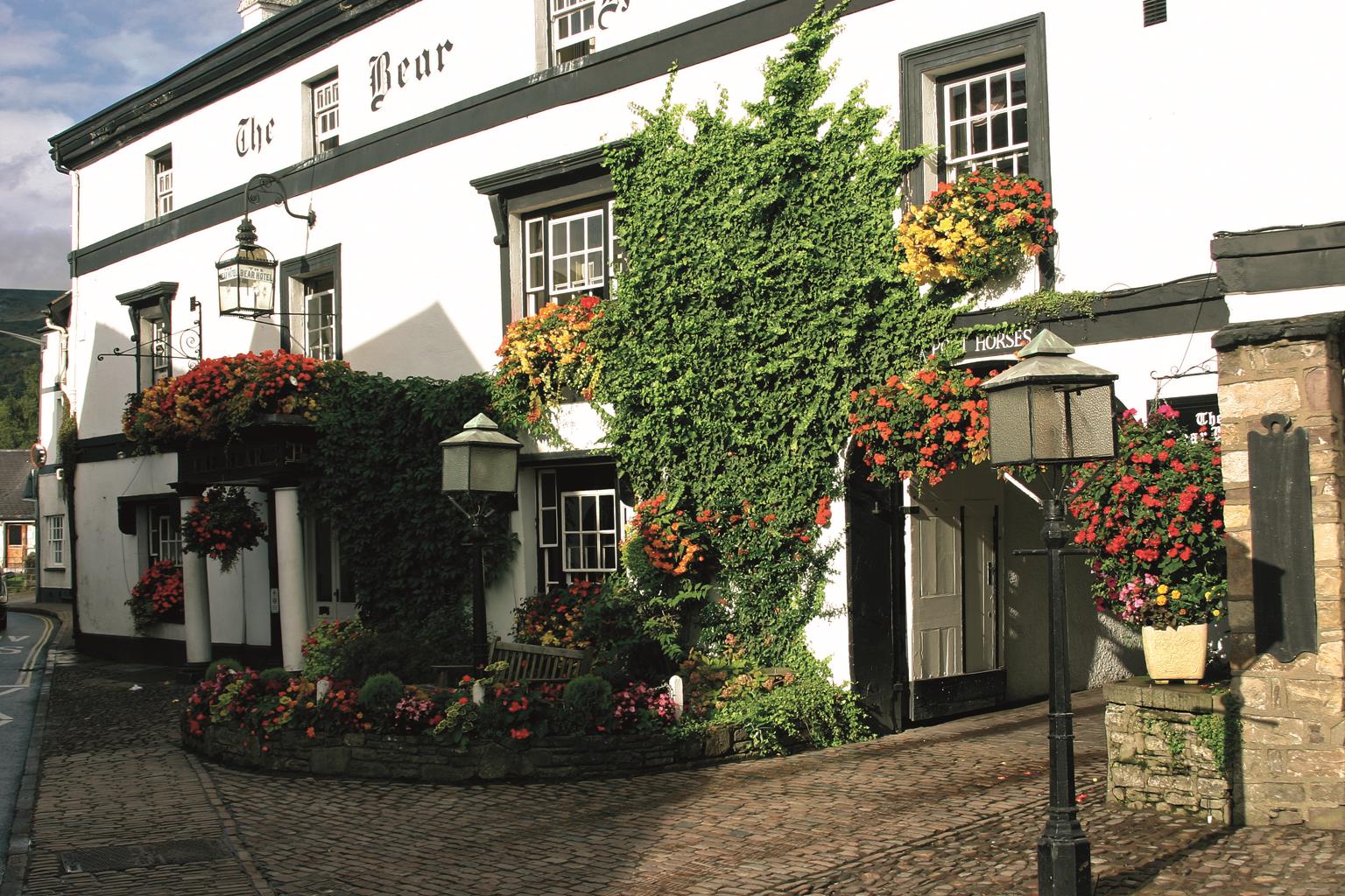
Poston Mill Park
West of Herefordshire under the foothills of the Black Mountain in The Golden Valley. Our hard-…

Black Hill
8.25 miles (13.3kms)
On the western edge of Herefordshire are three valleys: the River Dore in the Golden Valley, the Escley Brook in the Escley Valley and lastly the Olchon Brook in the Olchon Valley. The Black Hill lies, sometimes literally, in the shadow of the Black Mountains that here delineate the Welsh border.
Even at the car park – almost 1,300ft (396m) – you are higher than most tops attained elsewhere in this book. Known locally as ‘the Cat’s Back’, Black Hill distinguishes itself by being the highest peak in Herefordshire (and in Worcestershire) that the Ordnance Survey names on its maps. The Ordnance Survey gives no such attention to the actual highest point in Herefordshire, a knuckle on one of the Black Mountains’ splayed-out fingers, lying as it does along the boundary with Wales’. In fine, summertime weather you cannot fail to enjoy this airy walk, but should you do it in cold and wet conditions, you will need a heart of stone not to empathise with those upland farmers who have no choice but to be working outdoors in such conditions.
Bruce Chatwin’s 1983 book On the Black Hill was largely biographical, tracing the history of the Jones family through some 70 years of farming on the Black Hill. He had spent much time in the Herefordshire borders and had befriended several people. At first it may seem odd that a book about outdoor, farming people should be claustrophobic, but it is a short distance from solitude to isolation, and even in the 21st century people who work on the land are often in solitude for protracted periods of time. In the case of the novel’s Jones brothers, Benjamin and Lewis, they are emotionally intense, largely because they have so few relationships and because of their blood ties. (In the film of the same name, directed by Andrew Grieve and released in 1988, the actors playing the brothers were real brothers too.)
Over a stile behind the car park, follow a steep path up the spine of the hill. The ridge shortly narrows and in strong wind or poor weather, may be intimidating. But, the way soon broadens to continue as a fine, airy walk, which offers superlative views on either hand.
Fork left at the trig column, passing a shallow tarn on your right. The clear path gently rises across the moor for 1.5 miles (2.4km), eventually meeting a crossing of paths by an Offa’s Dyke stone marker.
To the left, the way initially climbs over an un-named top, but which, at over 2,300ft (700m), is the highest point of the walk. The trail runs on, intermittently slabbed along the broad ridge, which here marks the boundary between England and Wales. After nearly 3 miles (4.8km), and almost level with the car park across the valley, look out for a cairn and another Offa’s Dyke waystone marking a crossing of routes.
Take the grass path off left, which soon curves left down the steepening slope. Lower down, after 700yds (640m), the way swings sharply right.
Soon, a waymark indicates a junction from which a path drops to the lane. However, carry on ahead through bracken, ignoring a later intersecting path. Eventually cross a brook and enter a grove of alder to reach a fence. Turn right in front of it, crossing a stream to reach a kissing gate. Through that walk on within the fringe of trees, passing an opening and a stile before reaching another kissing gate. Negotiate a fallen tree just beyond and follow the line of an old hollow way. Disregard a later stile on the left, but then shortly cross a stile. Stay with the groove, passing through a kissing gate at the end to meet a lane.
Walk downhill to a junction and go left. Approaching a small bridge, leave over a stile on the right and head downfield beside the stream. Cross the stream lower down and bear right to a footbridge spanning Olchon Brook. Climb away to Blackhill Farm. Over a stile, walk up beside the buildings to find a waymarked handgate in the top-right corner. Head up a wooded gully to a stile and bear left, soon emerging onto a lane. Turn left along the lane and first right to return to the car park.
Muddy patches, stony descent, lanes, minor roads, several stiles
Narrow mountain ridge and moorland plateau incised by green valleys
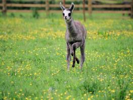
A good yomp, but may be sheep grazing on tops
OS Explorer OL13 Brecon Beacons National Park
Black Hill car park (signposted)
None on route
Being in remote hill country with no easy escape routes, this walk is not recommended for inexperienced hill walkers
Read our tips to look after yourself and the environment when following this walk.
Herefordshire is split in two by the River Wye which meanders through the county on its way to the Severn and the sea. Largely rural, with Hereford, Leominster, and Ross-on-Wye the major towns and cities, its countryside and ancient villages are the county’s major asset.
Visitors can take advantage of a number of the trails which will guide them through areas of interest. Those especially interested in historic village life should try the Black and White Village Trail, which takes motorists on a 40-mile drive around timber-framed villages from Leominster to Weobley (established in the 17th century and known as a centre of witchcraft in the 18th), Eardisley (where the church boasts a 12th-century carved font), Kington, Pembridge and others. Other trails include the Mortimer Trail, the Hop Trail and the Hidden Highway, which goes from Ross-on-Wye to Chester. Hereford has a small Norman cathedral, which has a great forest of pink sandstone columns lining the nave. Inside is a chained library, a 13th-century Mappa Mundi (map of the world) and one of only four copies of the 1217 version of the Magna Carta.
Discover more than 15,000 professionally rated places to stay, eat and visit from across the UK and Ireland.
Choose a place to stay safe in the knowledge that it has been expertly assessed by trained assessors.
Search by location or the type of place you're visiting to find your next ideal holiday experience.
Read our articles, city guides and recommended things to do for inspiration. We're here to help you explore the UK.