


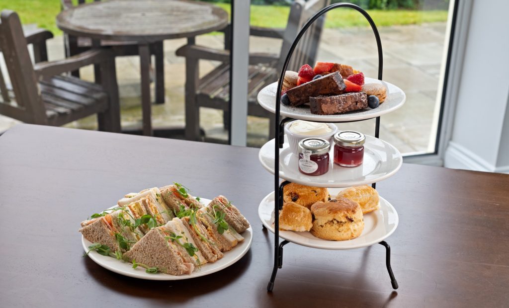
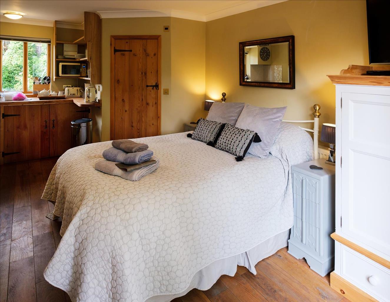
Quintet Cottages
Made up of four quirky properties close to Thetford, Quintet Cottages have been lovingly…

Knettishall Heath
15 miles (24.2kms)
The Peddars Way begins at Knettishall Heath, passes through the fascinating Brecks of Norfolk, and continues through the remote and lonely northwest of the county. Knettishall Heath Country Park is a particularly attractive place to set off on the Peddars Way. For a short distance, until the Little Ouse River (which is the county boundary), the route is in Suffolk, spending the rest of its time among the ‘North Folk’. This long section takes the walker over a series of extensive heaths, ending in the tiny village of Little Cressingham.
The start of the Peddars Way is clearly marked by a wooden post with an acorn sign near the entrance to the car park. The path leads gently down for 0.5 miles (800m) to the bridge over the river at Blackwater and into Norfolk. A short distance to the east is Riddlesworth Hall girls’ school, once attended by Diana, Princess of Wales, while to the west is the small village of Rushford. Here, in 1342, Edmund Gonville, founder of Gonville and Caius College at Cambridge, established a college for a master and five priests, which lasted until the Dissolution.
After the bridge, continue along the path, skirting the wood to your right and passing a magnificent old oak tree until you come on to a straight section of Roman road leading up to the A1066. Following a line of trees to the left and a wide arable field to the right, this section is now a very charming footpath. Watch out for a peculiar, half-buried stone with ‘Rs’ clearly carved on its surface.
Cross the A1066 and, shortly afterwards, the road to East Harling. The route of the Peddars Way along the old agger, or embankment, is now clearly visible alongside the footpath. Shadwell Park estate, with its huge Victorian mansion (not open to the public) is some way away on the left, and the path borders copious woodlands to the right. A good circular walk is clearly marked along this section. The footpath then crosses an attractive meadow, turns right along the bank of the River Thet and crosses it by a wooden bridge at Droveway Ford.
Although no fishing is allowed, the River Thet is teeming with fish, and in summer months this lovely
spot is a perfect place to linger. Downstream there is an Anglo-Saxon burial ground at Brettenham and various early remains. Upstream, the nomenclature of Thorpe Woodlands embraces the sites of three abandoned medieval villages. Beyond is the location of an Iron Age riverside settlement at Micklemoor Hill.
Cross the Brettenham road and skirt a delightful wood. To the left, where once heathland would have been undisturbed, there is now a pig farm and a wide area of agricultural land. The path continues on the old, raised embankment and then leaves it to pass through a gap in an old wire fence. You are now on Brettenham Heath, a national nature reserve run by Natural England, and the view to the left gives a splendid impression of what much of the Breck landscape would have been like before the intrusion of the modern world. This is now the territory of thousands of rabbits and their predators. To the right, the forest protects the walker from the east wind and assails the nostrils with the smell of pine.
The Peddars Way crosses the minor road to Bridgham and then the busy A11. This is now Bridgham Heath, where it is thought that Sweyn and the Danes defeated Ulfcytel and the Saxons at
the bloody battle of Hringmara (perhaps modern Ring Mere) in 1010. A short length of metalled road leads to the Norwich–Ely railway crossing, then the path continues through the pines of Roudham Heath, past a gas pipeline service station, and alongside the dismantled Thetford–Watton railway to the village of Stonebridge, or East Wretham. Roe deer are occasionally seen here, and there is a circular walk clearly marked just before the abutments of the old railway bridge. There is a pub, the
Dog and Partridge, in the village.
Turn left after the pub to continue along the Peddars Way. Much of this next section is a Ministry of Defence training area, and it is important not to stray into the protected zones off the path. The country on both sides is heavily forested and unspoilt. Deer abound, as do small, semi-wild flocks of sheep. The names of the wooded areas have a resonant ring: Broom Covert, Woodcock Hill, Cranberry Wood, Blackrabbit Warren and, more ominously, Madhouse Plantation.
Sandy, grassy and dirt footpaths (can become muddy), forestry and farm tracks, roads
Heathland, woods, fields, the small settlement of Stonebridge
On lead on sections of road
OS Explorer 229, 230, 237
Country park car park at start
In car park 0.6 miles (1km) to east of start and in car park at junction with A11
Read our tips to look after yourself and the environment when following this walk.
The North Norfolk Coast is designated an Area of Outstanding Natural Beauty and probably the finest of its kind in Europe. Here you’ll find a string of quaint villages and small towns – Holkham, Wells-next-the-Sea and Cley next the Sea are 21st-century favourites, while Sheringham and Cromer are classic examples of a good old-fashioned seaside resort where grand Victorian hotels look out to sea. Further round the coast you'll find Great Yarmouth, one of the most popular resorts in the UK and packed full of amusements, shops and seashore entertainment. And let's not forget Norwich, the region's only city.
Norfolk prides itself on its wealth of historic houses, the most famous being Sandringham, where Her Majesty the Queen and her family spend Christmas. Many of Norfolk’s towns have a particular charm and a strong sense of community. The quiet market towns of Fakenham and Swaffham are prime examples, as well as Thetford, with its popular museum focusing on the TV comedy series Dad’s Army which was filmed in the area.
Discover more than 15,000 professionally rated places to stay, eat and visit from across the UK and Ireland.
Choose a place to stay safe in the knowledge that it has been expertly assessed by trained assessors.
Search by location or the type of place you're visiting to find your next ideal holiday experience.
Read our articles, city guides and recommended things to do for inspiration. We're here to help you explore the UK.


