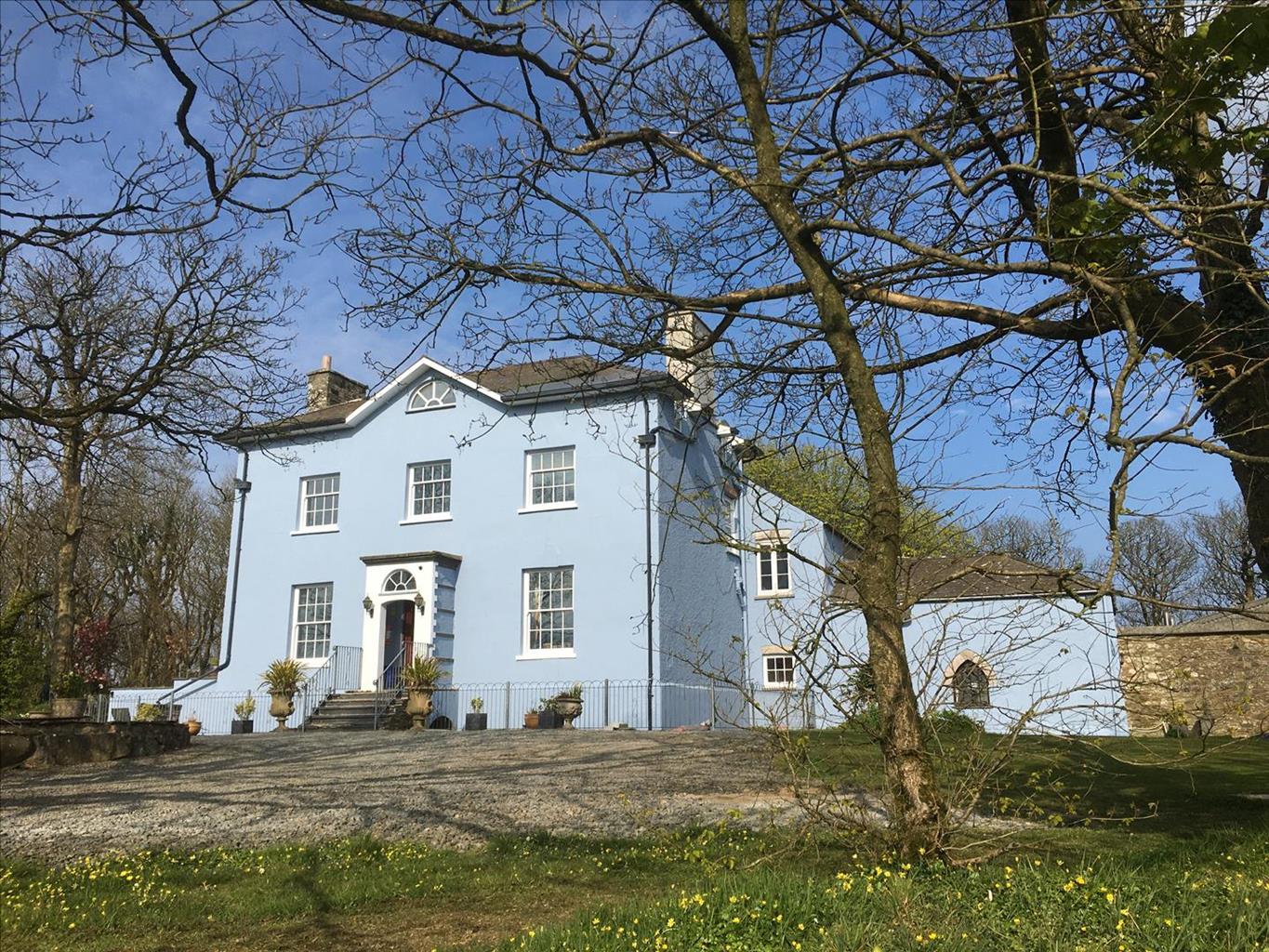
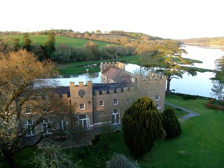
Set high up on cliffs with outstanding views of Fishguard Bay, this site has the Pembrokeshire…
Pembrokeshire Coast Path: Pwll Deri to Goodwick

9.3 miles (15kms)
About the walk
The Pembrokeshire Coast Path is a national trail following the Pembrokeshire coast through the Pembrokeshire Coast National Park, from Amroth in the south to St Dogmaels, near Cardigan, in the north. This relatively remote section makes a great loop around Pen Caer taking in the lighthouse at Strumble Head and the scene of a half-hearted French invasion that took place in 1797. The walk ends with a descent to the harbour in Goodwick. Ferries to and from Ireland dock here, albeit that their destination is always given as Fishguard, a town on a hill on the far side of the beach.
Walk directions
By the side of the youth hostel, the coast path goes downhill, passing the rocky outcrop of the fort Dinas Mawr, yet more evidence of the ancient Celts’ extensive defence system. It can be reached by its own narrow track. The coast path continues through gorse and heather, winding high above Porth Maenmelyn and climbing on a crumbling path past a large, improbably sited house in the lee of the hillside to the right.
On the far headland there are the brick remains of ugly MoD buildings, which may have some use to walkers as shelter in wet weather, and then the path heads down and up through rounded hillocks of volcanic rock, passing the small, sheltered valley of Pwll Arian, or ‘Silver Pool’, on the way. The lighthouse at Strumble Head is in view along this stretch of the path, a handsome building in traditional, turn-of-the-century lighthouse style, with its piercing light flashing by day and night. It was
built in 1908 on Ynys Meicel, one of a series of islets stretching westwards from Strumble Head.
The path here joins the road, passing by a restored MoD building which is now mainly used by birdwatchers. Strumble Head is a breeding ground for herring gull and fulmar, though
the principal interests are the sighting of porpoises and the passage of seabirds from breeding sites such as Ramsey Island en route to Cardigan Bay to feed. During the breeding season, flocks of Manx shearwater can be seen going to and from these feeding areas. The final 6 miles (9.5km) from Strumble Head to Goodwick are along a remote stretch offering excellent walking, with the view ahead looking all the way to Cemaes Head; the final headland before the coast path ends at St Dogmaels.
The ferry may sometimes be seen making its twice daily crossing between Goodwick and Rosslare in the Republic of Ireland, as the path passes above the bay of Porthsychan.
At Penrhyn there is a tiny holiday cottage in an enviably remote situation, and then the path winds in and out along the cliff-tops, towards the extraordinary memorial stone above Carregwastad Point.
Just past here the path dives down into a hidden wooded valley at Cwm Felin.
The way continues on to the headland of Pen Anglas, eventually joining a minor road leading into Goodwick. The hillside descent offers a fine view over the long Goodwick breakwater, with Fishguard beyond and the great mass of Dinas Head directly to the east, showing the route of the coast path continuing. After the magnificent wildness of the coast path, arrival at Goodwick is something of a come-down. However, the town does have good public transport connections, and for those with the time and energy there are another 28 miles (45km) of mainly very wild coastal path before reaching its official terminus at St Dogmaels, near Cardigan.
Additional information
Clifftop paths – mainly grassy or rocky with some muddy or marshy patches – short stretches of road, quayside
Sea, tiny islands, farmland, cliffs, coastal town
On lead when near livestock
OS Explorer OL 35
Lay-by just to the south of start
In Goodwick
WALKING IN SAFETY
Read our tips to look after yourself and the environment when following this walk.
Find out more
Also in the area
About the area
Discover Pembrokeshire
Wales meets the Atlantic Ocean in spectacular fashion at Pembrokeshire. Unlike the West Country, Pembrokeshire can offer the coast without the crowds, and quaint fishing villages without those huge coach parks. Volcanic eruptions and earth movements have left a tortured rocky coastline of some 160 miles, whose beauty and drama have been recognised by National Park status.
Sometimes known as ‘Little England Beyond Wales’, the county has held a fascination for English visitors ever since the first Norman warlords forced their way in 800 years ago, leaving a string of 50 fine castles in their wake. The anonymous author of The Mabinogion, an 11th-century collection of Welsh folk legends, started it all. His description of the old Celtic kingdom of Dyfed (which encompasses Cardiganshire, Carmarthenshire and Pembrokeshire) as ‘the land of magic and enchantment’ was perhaps the earliest written attempt to sum up the outstanding natural beauty of this wonderful westernmost outpost of Wales. This is a county where you can take it easy on the sandy beaches, make sport out of those Atlantic waves, or discover the mysteries of St David’s or the ancient Preseli Hills.
Nearby stays
Restaurants and Pubs
Nearby experiences
Recommended things to do
Why choose Rated Trips?
Your trusted guide to rated places across the UK
The best coverage
Discover more than 15,000 professionally rated places to stay, eat and visit from across the UK and Ireland.
Quality assured
Choose a place to stay safe in the knowledge that it has been expertly assessed by trained assessors.
Plan your next trip
Search by location or the type of place you're visiting to find your next ideal holiday experience.
Travel inspiration
Read our articles, city guides and recommended things to do for inspiration. We're here to help you explore the UK.

