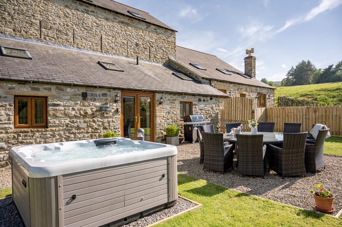


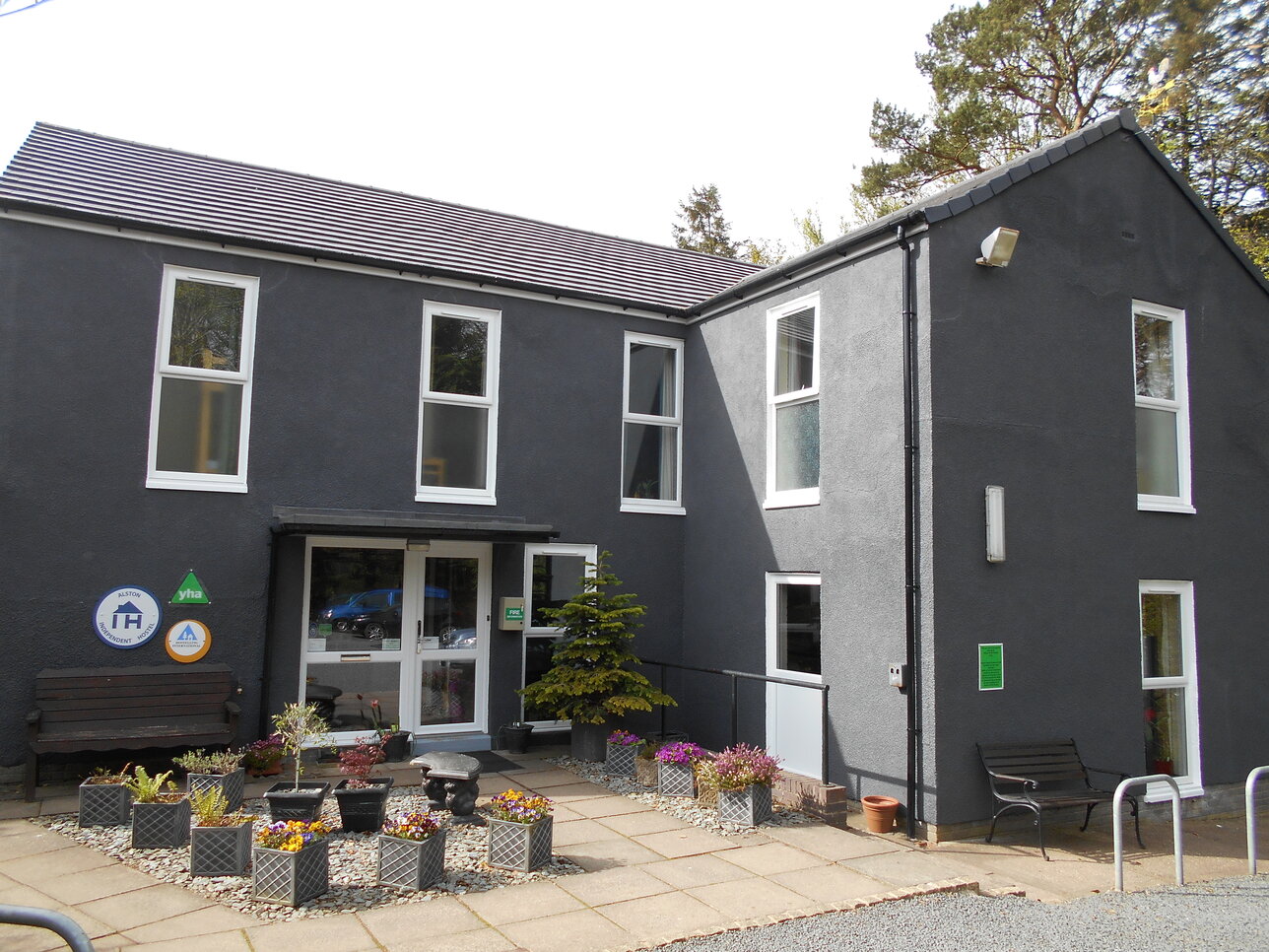
Alston Youth Hostel
Alston Youth Hostel is an Independent Hostel (franchised to the YHA) set in the town of Alston,…

Alston
5.5 miles (8.9kms)
Prosperity for the little Pennine town of Alston came and went with lead-mining. Alston had been at the hub of a rural community for centuries and had a sort of heyday when it was in the possession of the Radcliffe family. Unfortunately the Radcliffes chose the wrong side in the Jacobite rebellions and it took another century after their demise, and the arrival of the London Lead Company, to wake the town up. After a period of rapid expansion, the mining industry collapsed and Alston was back serving farmers and wagoners and waiting for better times. Tourism has taken over, but the character of the place remains as it ever was, solid with a hint of eccentricity.
Alston makes a good starting point for a walk, self-contained and with all essential services.
From the bridge at the southern edge of the town, the Pennine Way turns right, off the A686 and along the A689 for a few yards, then right along a track and through a gate beside a house. There are good views east, over the river towards the town as the path heads north to Harbut Lodge. The route is signposted to the left of the house, then around the edge of the pasture to a stile on to a track.
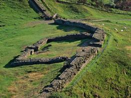
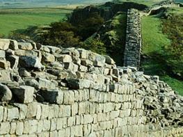
After crossing the A689 the path heads westwards, past a byre and uphill over rough pasture. Kissing-gates and stiles then mark the route northwest across marshy ground, inhabited by snipe and redshank, to a little footbridge over a burn. After crossing the burn, the path climbs up to the shoulder of the open fell, bearing to the left of the knoll encircled by shallow grassy ridges. This is Whitley Castle, the site of a Roman fort which once protected an important link-road known as the Maiden Way.
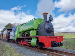
Having descended to a farm called Castle Nook, the Pennine Way crosses the A689 again, then bears to the right around Dyke House and follows the South Tyne valley, through Kirkhaugh and parallel with the railway line. On the far bank of the river is Barhaugh Park and Barhaugh Hall, a field studies and holiday centre.
Below Lintley Farm, the route turns right to follow a burn beneath a four-arched viaduct, then arcs around a pasture and drops down to the banks of the South Tyne. The river is shallow and stony, and the home of dippers and grey wagtails. Wych elms once shadowed the riverside path but any woodland is now hazel, ash, oak and sycamore.
The path meets the road close to a bridge, and the Pennine Way continues along the verge and into the village of Slaggyford.
Field paths and tracks; rough pasture; well signposted
Valley and along lower slopes of moorland
On lead at all times
OS Explorer OL 43
None on route, although there are car parks in Alston
None on route, although there are some in Alston
Read our tips to look after yourself and the environment when following this walk.
Discover more than 15,000 professionally rated places to stay, eat and visit from across the UK and Ireland.
Choose a place to stay safe in the knowledge that it has been expertly assessed by trained assessors.
Search by location or the type of place you're visiting to find your next ideal holiday experience.
Read our articles, city guides and recommended things to do for inspiration. We're here to help you explore the UK.