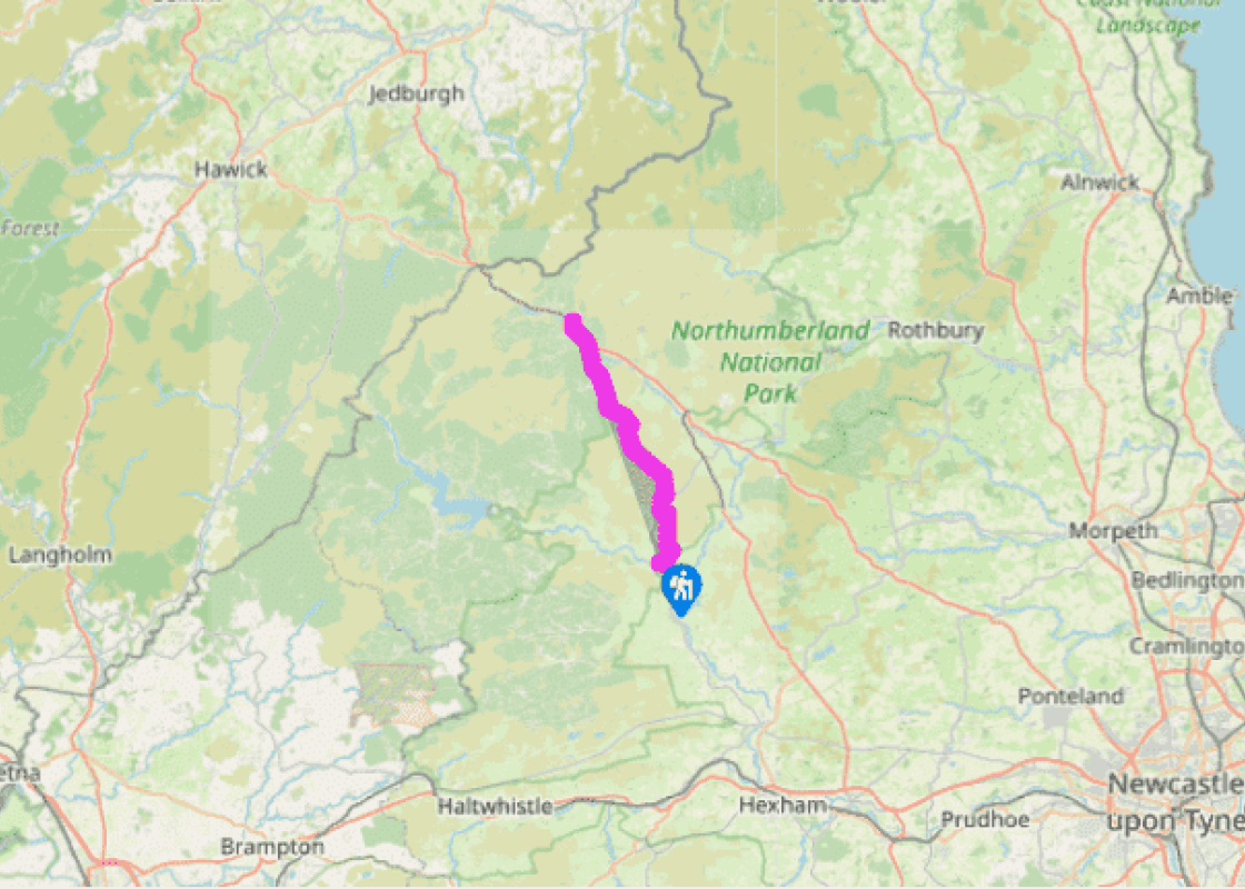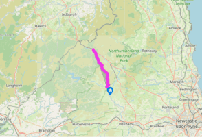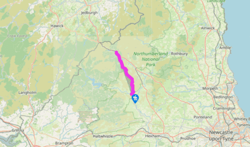
Pennine Way: Bellingham to Byrness
From the middle of Bellingham, follow the West Woodburn Road for 0.5 miles (800m), then turn left along a track to Blakelaw Farm.
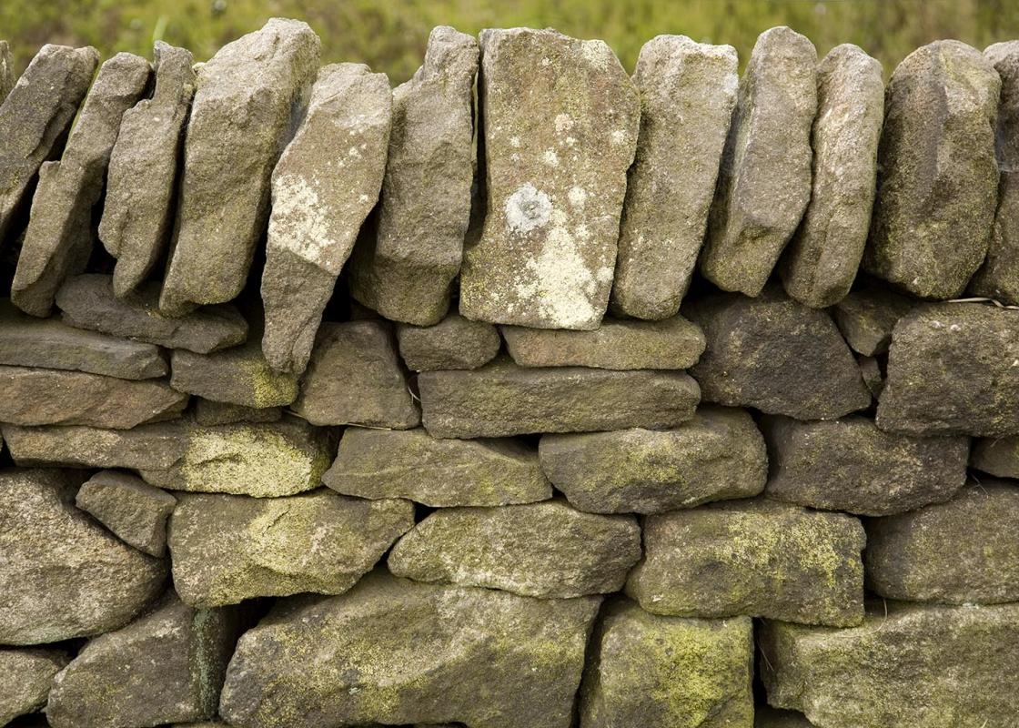
From the farm, the Pennine Way climbs up an open pasture, following posts, and eventually heading to the right of a block of pines. Through the gate, the route is soon on to open moorland below Callerhues Crag. You quickly reach a fingerpost. Bear right, heading north above the Hareshaw Burn, and below Hareshaw House. The ground is usually marshy and there are old coal workings littered around the hillsides. The route continues for 2 miles (3km) to reach the B6320.

Been on this walk?
Send us photos or a comment about this route. Or recommend a route of your own.

Walking in Safety
Read our tips to look after yourself and the environment when following this walk.

Get an AA guide
Explore our range of ‘50 Walks in’ guides - they’re the ideal companion for a ramble.
Been on this walk?
Send us photos or a comment about this route. Or recommend a route of your own.
Walking in Safety
Read our tips to look after yourself and the environment when following this walk.
Get an AA guide
Explore our range of ‘50 Walks in’ guides - they’re the ideal companion for a ramble.
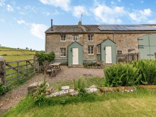
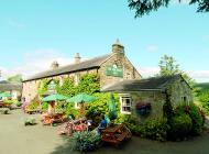
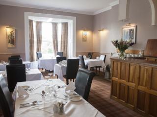
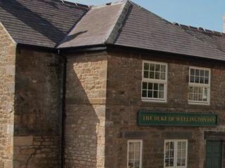
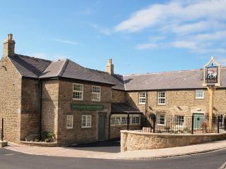
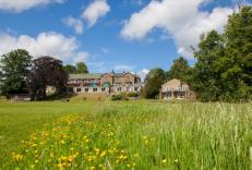
Nearby places to stay
View all (8)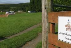


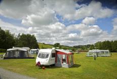


- Launderette
- Ice pack facility
- Picnic Area
- Shop onsite