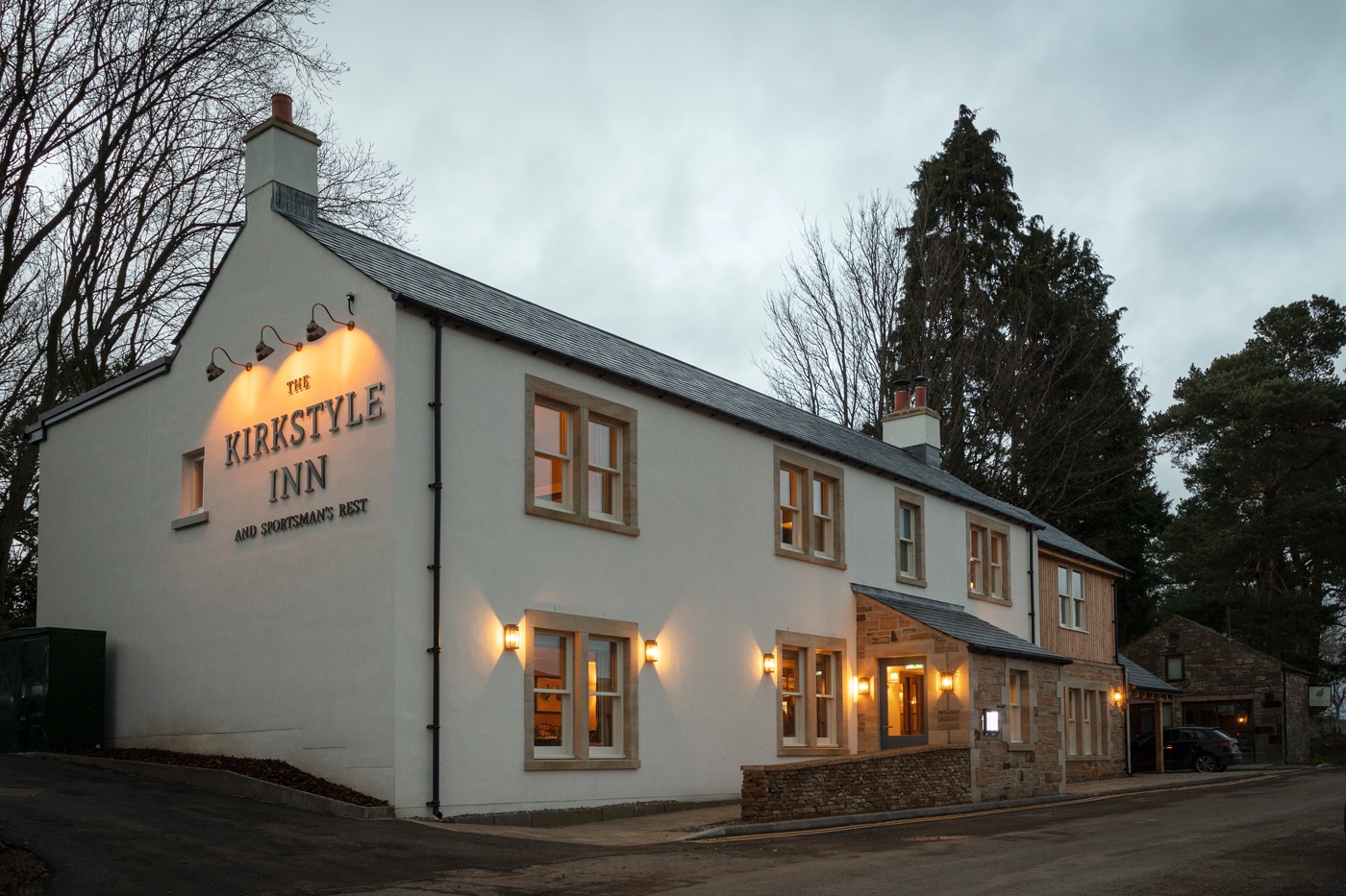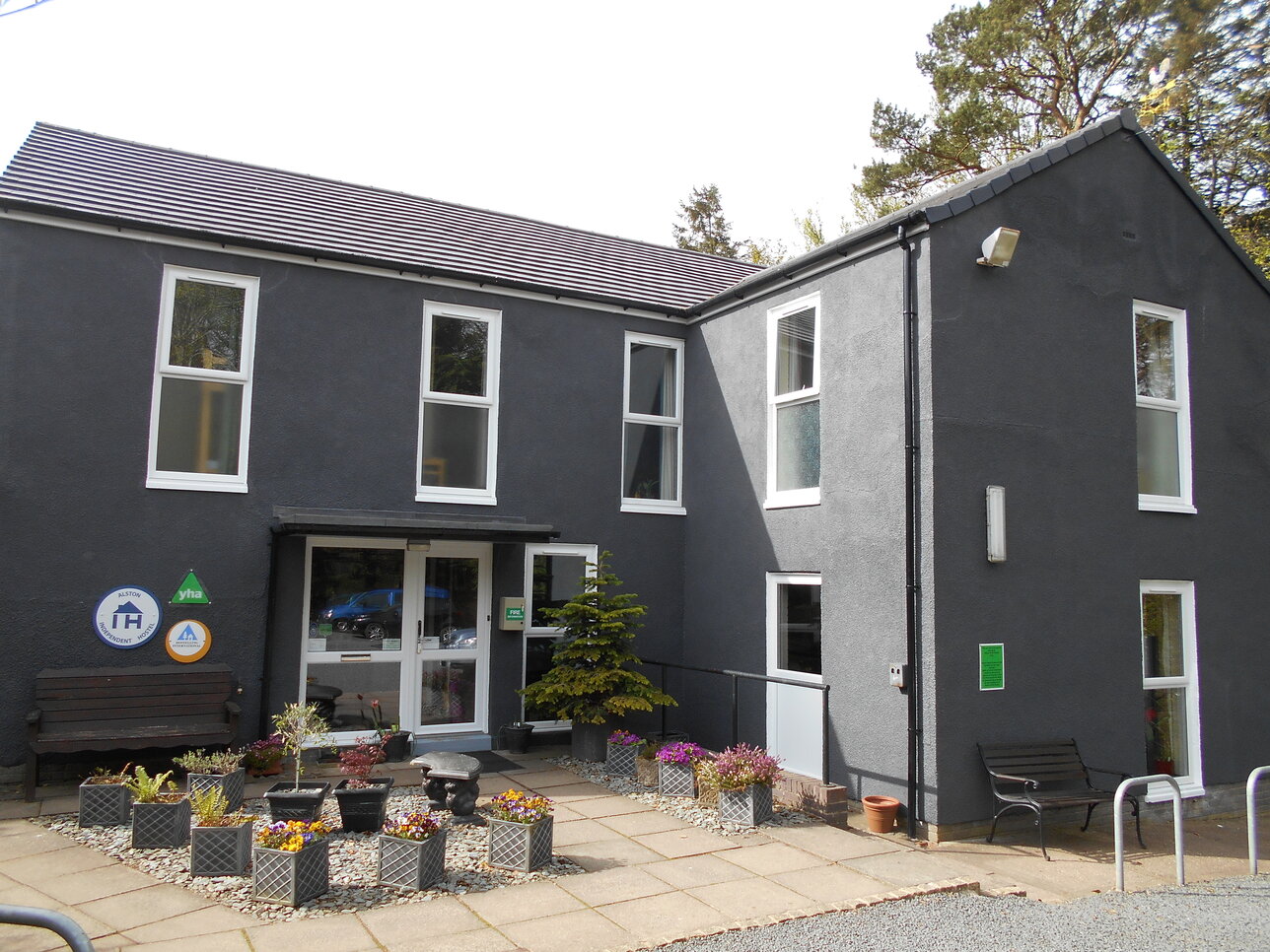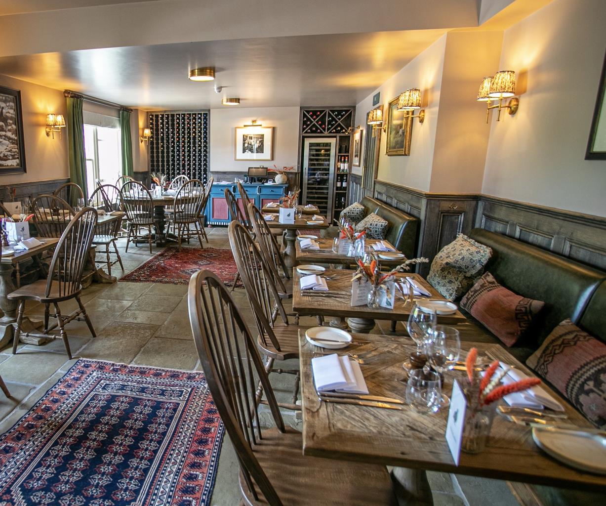
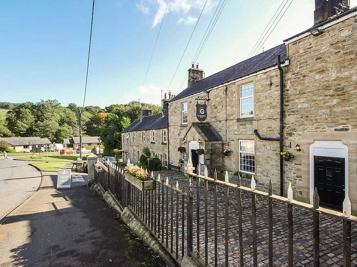


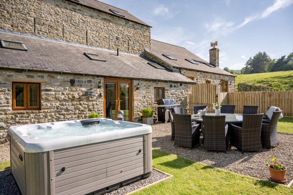
Broadmea Holiday Accommodation
Broadmea Holiday Accommodation is set amidst the rural beauty of the Northumberland countryside…

Slaggyford
11.2 miles (18kms)
Slaggyford is a bright little cluster of houses spread loosely around a green and penfold. The first part of the walk passes below Glendue Fell, one piece in a giant jigsaw of sandstone blocks at the edge of the North Pennines. High rainfall and poor drainage has encouraged the formation of peat, which is usually wet and acidic, and stops most vegetation from growing. The result is a whole panorama of heather, cotton-grass and sphagnum moss and a specialized collection of birds and insects. Red grouse and curlew are the commonest of the larger breeding birds, but there are a few pairs of short-eared owls and merlins. The green hairstreak butterfly is on the wing here in spring.
The Pennine Way turns left off the A689 on a side road in Slaggyford, then bears right of the old Methodist chapel (now a bed-and-breakfast) and heads along a lane beside damp fields of marsh marigolds. The old Alston–Haltwhistle branch line, which closed in 1976, is down to the left. The route descends through some attractive woodland, awash in their season with wild flowers such as primrose, wood anemone, early purple orchid and wood cranesbill. After crossing a footbridge, the path goes under the railway embankment, and across a field to Merry Knowe.
The route is confusing here, as is so often the case around working farms. Go through the gate and then, keeping close to the wall on the right at first, cross three stone stiles. This brings you out again on to pasture and, although there is no clear path to follow, route-finding is quite easy. Go through a small gate and over several stiles, crossing a minor road diagonally left before more field walking drops you towards the viaduct at Burnstones. Just before the viaduct, drop down to the Thinhope Burn and go under the first arch of the viaduct and out on to the road.
Go left along the road to pass back under the viaduct and then go through the gate on the other side of Knarsdale Hall’s driveway to head diagonally up a field and on to the shoulder of a wide expanse of open moorland. The dome of moorland to the left is Glendue Fell, part of Geltsdale. After following the shoulder of the moor for a mile (1.6km), the path drops down to cross the pretty Glendue Burn.
After the footbridge, the route climbs again to contour the side of another dome of dark moorland at the edge of Hartleyburn Common. The route shadows the Maiden Way and the distant views are excellent; east over the wooded South Tyne Valley to Ashholme Common and Whitfield Moor, and south to the plateau summit of Cross Fell, which is the highest ground in England outside of the Lake District.
The A689 is crossed just west of the village of Lambley, the path turning left on the descent to the road to cut off the corner and minimize road-walking. After crossing the road, the Pennine Way heads northwest over boggy ground with no obvious path at first, past old mine workings and seeking the higher ground via hummocks and ridges to a derelict barn at High House. Swinging northeast, Hartley Burn is then crossed at a footbridge and, after following the burn as it angles left, a grassy path climbs out of the valley and leads through green pastures to Batey Shield. Walk between the first set of buildings and to the right of the farmhouse to head downhill beside a field boundary on the left.
Across a footbridge and a road, the route passes to the left of Greenriggs, then begins a long steady climb culminating in a stile on the edge of Hartleyburn Common (North Side). Having only clipped the sides of the big moors so far, it is a surprise to come on this vast expanse of open country. The route is vague, sometimes clear on the ground and sometimes invisible. It is a good idea to use a compass and head northwest, then follow a fence north for a mile (1.6km) over Blenkinsopp Common. Few people would describe this country as pretty, but it is undoubtedly impressive. You will probably be the only human for miles around; even sheep are few and far between. At first the rolling plateau has no landmarks, but a triangulation column comes into view at Blade Hill and the path makes for the right of this. There is at last a real view to the north, over the Tyne Gap with the busy A69 road below.
To avoid road-walking again, the route zig-zags downhill, through old mine workings, along old tracks at Todholes (‘tod’ means fox; this is still fox country) and under electricity pylons. The Carlisle–Newcastle corridor is a major cross-country link, not only for road and rail but also for power and communication. Down on the A69, the contrast after the open moorland is startling as cars and lorries hurtle past.
Carefully cross the A69 and climb the embankment on the other side; then head northeast over fields and across the golf course. The Pennine Way drops down to meet the B6318 just north of Greenhead.
Moorland, sometimes pathless, extremely wet in places; fields; golf course
Moorland and rough farmland
On lead at all times
OS Explorer OL 43
Roadside parking in Slaggyford and Greenhead
None on route
<p>Walk not advised in poor visibility; extreme caution needed when crossing busy A69 near end of walk.</p>
Read our tips to look after yourself and the environment when following this walk.
Discover more than 15,000 professionally rated places to stay, eat and visit from across the UK and Ireland.
Choose a place to stay safe in the knowledge that it has been expertly assessed by trained assessors.
Search by location or the type of place you're visiting to find your next ideal holiday experience.
Read our articles, city guides and recommended things to do for inspiration. We're here to help you explore the UK.