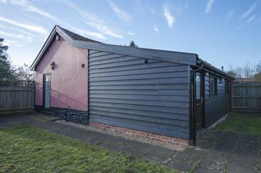

Buxhall Country Glamping
Buxhall Country Glamping offers camping in style – home comforts included! The site is in a…

A rollercoaster walk up both sides of the valley protecting an old Puritan village.
Rattlesden
3.5 miles (5.7kms)
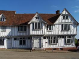
Rattlesden lies in a valley that runs between Stowmarket to the east and Bury St Edmunds to the northwest. The hills that rise above it to the north and south are not the sort of scenery you expect in Suffolk but it means that visitors have the opportunity to look down on the picturesque village from two distinct vantage points. The village is a haven for glorious half-timbered houses and the centre of Rattlesden has been declared a conservation area.
For a village that is 25 miles (40km)from the nearest bit of coastline, and whose eponymous river – known locally as the River Rat – is barely deep enough to drown a rodent, it has a surprisingly strong links with all things aqueous. A spring in the village is recognised as the source of the mighty River Orwell (from which the writer Eric Blair took his pen name) which flows through Ipswich. Stone from Caen in France was apparently landed here en route to Bury St Edmunds where it was used to build the abbey. A ring on the church door is said to have been fashioned from an anchor found in a river. Even the name of the village – which appears in the Domesday Book – is thought to have been derived from its having been a 9th-century Viking encampment (from ‘rates’ and ‘Doenas’ meaning ‘boats’ and ‘Danes’). Perhaps with this in mind, in the 19th century, a villager adorned the River Rattlesden by spanning it with a pair of whale bones. These slowly rotted away until replaced by wooden replicas in 2000.
The bones feature prominently on the village sign, which is also passed on this walk. Created by Edward Hitchcock in 1991, the local church and stream are shown with an anchor in front of them, protected beneath a whalebone arch.
On the hillside on the northern slopes of the village stands St Nicholas’ church. Dating from the 13th century (there’s an impressive font of that age still in the church), it has undergone many major alterations that continued right up to World War I. Between those times – chiefly in the 16th and 17th centuries, Rattlesden was overcome with Puritan fervour. Its culmination came in 1634 when, in search of religious freedom and a new way of life, Rattlesden wheelwright Richard Kimball led a group of pilgrims out of the village and across the Atlantic to the Massachusetts Bay Colony. The traffic was reversed in World War II, as evinced by a bronze plaque in memory of the US 447th Bomb Group which was based at nearby Rattlesden Airfield from November 1943 to May 1945. Veterans of the bomber group still visit the village from time to time. The airfield is still in use, though nowadays by the rather less offensive Rattlesden Gliding Club.
What immediately catches the eye, however, is the church’s remarkable and meticulous reproduction of a medieval rood screen. This was built between 1909 and 1916 and was based on a sole surviving fragment of the original screen.
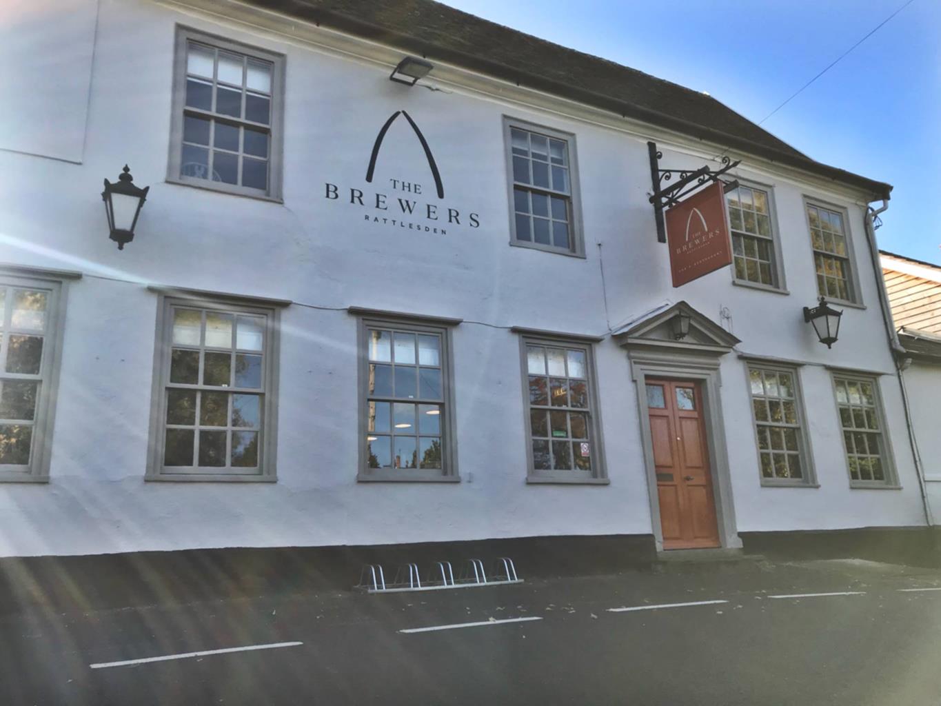
Walk along the pavement away from the Brewers Arms. Turn almost immediately right across a footbridge and up past the Five Bells pub. At the road, turn right to St Nicholas’ church. After a poke about in the church, cross the road opposite the entrance and go through a gate onto a footpath flanked by a fence and a hedge. Go through another gate to enter a thicket, leaving it by yet another gate to follow a path between a fledgling orchard and a field. The path bends sharp right to follow a hedge. After bearing left the path almost immediately turns sharp right to cross a field. Continue along this path as it reaches a hedge and bears right to follow it around. It leaves the hedge at a junction to follow a line of telegraph poles.
At another hedge by a telegraph pole turn right to walk around the edge of the field to a road. Turn left and the road bends immediately sharp right then sharp left soon afterwards. Turn right up the very grand sycamore-lined drive of Clopton Green Farm passing a pond to your left. Follow the drive as it curves to the right the go straight ahead on a gravel track to skirt a belt of mixed trees as the main drive bends left. Enjoy the views across the fields to the hamlet of Borley Green and, a couple of miles away to the southeast, the extraordinary spire of Great Finborough’s St Andrew’s church, seemingly encased in woodland.
Just before you reach the flint walls of the Dower House (a dower being a widow's share for life of her late husband's estate), turn right onto a waymarked footpath through a narrow gap between trees. Cross a footbridge and continue ahead to follow the path as it bears left around the left-hand edge of a field. The path bears right to cross the field before bearing left to hug the line of another hedge. Just before the end of this hedge turn right to cross a field along a broad grassy track. Immediately before reaching a road, turn left along a grassy track that drops down the edge of the field parallel to the road. Cross a footbridge onto a road, turn right and immediately fork left along Lower Road to pass between the twin Rattlesden signs, the one on the right depicting the village church, an anchor and whale bones. The bench under an oak tree here makes a fine place to stop for a breather. Follow Lower Road into the village alongside a stream with a recreation ground to your left.
For a shortcut, follow the road around to the right and back to the start. Otherwise, just before the Brewers Arms turn left up Half Moon Street. The road soon becomes a grassy path. Follow this beside a hedge. At the first junction turn right to head for some new houses. Join a tarmac path to the right of the houses which leads to a side road. Pass a row of four garages to your left to reach the main road. Turn left and immediately right along Top Road with views of the other side of Rattlesden now beneath you. At the first house on the left turn right on a footpath to descend across a field. At the bottom, the path crashes into a thicket and over a footbridge. Continue straight on to cross a shorter footbridge. The path passes behind the cemetery of Rattlesden Baptist Church to come out onto the road by a phone box. Turn right here to return to the start, remembering to look left when you reach a crossroads to see the whalebones across the stream.
Footpaths, village roads
Fields, hills, village
On lead at all times
OS Explorer 211 Bury St Edmunds & Stowmarket
On street near Brewers Arms
None on route
Read our tips to look after yourself and the environment when following this walk.
Suffolk is Constable country, where the county’s crumbling, time-ravaged coastline spreads itself under wide skies to convey a wonderful sense of remoteness and solitude. Highly evocative and atmospheric, this is where rivers wind lazily to the sea and notorious 18th-century smugglers hid from the excise men. John Constable immortalised these expansive flatlands in his paintings in the 18th century, and his artwork raises the region’s profile to this day.
Walking is one of Suffolk’s most popular recreational activities. It may be flat but the county has much to discover on foot – not least the isolated Heritage Coast, which can be accessed via the Suffolk Coast Path. Southwold, with its distinctive, white-walled lighthouse standing sentinel above the town and its colourful beach huts and attractive pier features on many a promotional brochure. Much of Suffolk’s coastal heathland is protected as a designated Area of Outstanding Natural Beauty and shelters several rare creatures including the adder, the heath butterfly and the nightjar. In addition to walking, there is a good choice of cycling routes but for something less demanding, visit some of Suffolk’s charming old towns, with streets of handsome, period buildings and picturesque, timber-framed houses.
Discover more than 15,000 professionally rated places to stay, eat and visit from across the UK and Ireland.
Choose a place to stay safe in the knowledge that it has been expertly assessed by trained assessors.
Search by location or the type of place you're visiting to find your next ideal holiday experience.
Read our articles, city guides and recommended things to do for inspiration. We're here to help you explore the UK.