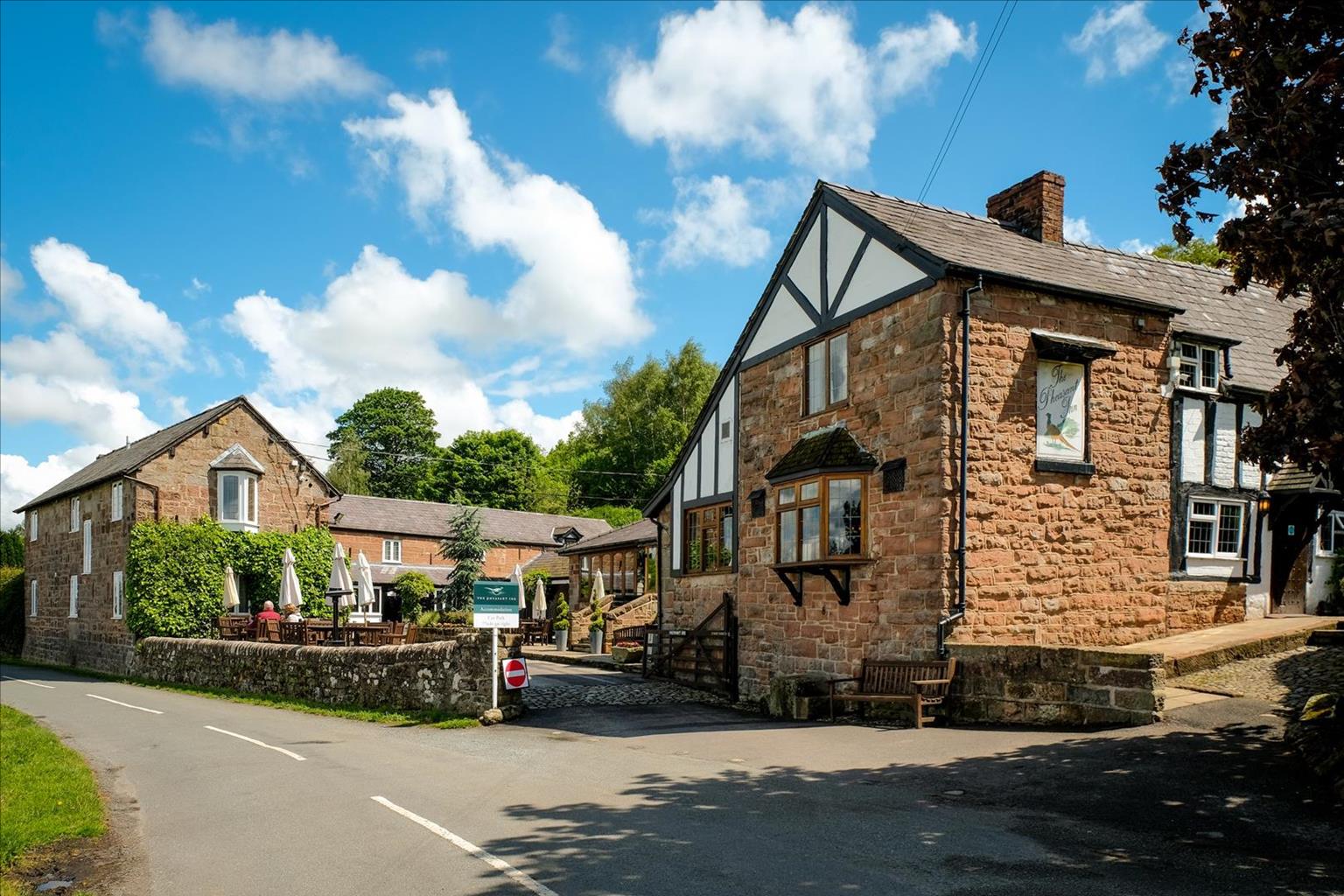

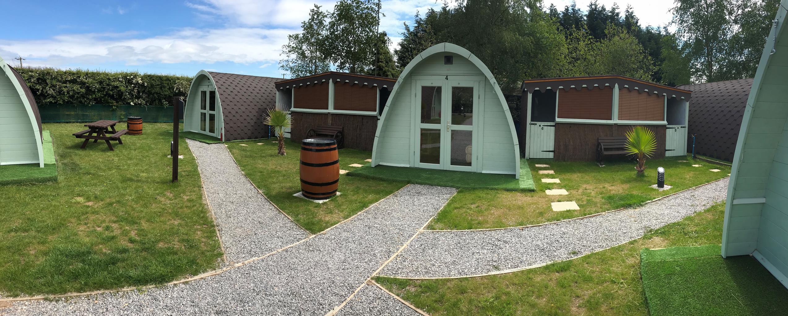
Fishpool Farm Caravan Park
Located within easy reach of many notable attractions and a short walk from The Fishpool Inn,…

Explore Cheshire's woodland and mere country
Delamere Forest
6.5 miles (10.5kms)
It might seem strange to go to the Cheshire lowlands in search of glacial features. Yet the meres, sand and gravel beds are just as intimately connected to the glaciers of the last ice age as the steep 'U' shaped valleys, deep mountain corries and knife-sharp arêtes of the high mountains. As the ice began to melt, a vast lake accumulated west of the mid-Cheshire ridge and finally broke through the line of hills stretching south from Frodsham. The torrential outpouring blanketed the land to the east with deep layers of sand and gravel, burying stranded 'bergs' of ice that subsequently melted to leave depressions. These kettle holes dotting the landscape are the meres for which this part of Cheshire is known and, wandering through Delamere Forest, you will come across a good number.
The larger kettle holes remain as small lakes such as Hatch Mere, but vegetation has encroached on others to create mosses and bogs; rich semi-aquatic habitats for plants, insects and birds. One of the rarest species is the white-faced darter, which has been adopted as the Delamere Forest symbol. During its larval stage, the dragonfly depends upon waterlogged sphagnum in pools devoid of fish, which would otherwise devour them. Loss of habitat led to their disappearance in Delamere, but recent re-flooding has created favourable conditions for re-introduction and they may once again be a common sight around the dark forest pools.
Blakemere Moss is the largest of the pools, but was drained during the early 19th century, reputedly using prisoners captured during the Napoleonic Wars. The reclaimed land was planted with oak, pine and more recently western hemlock but all proved uneconomic and in 1992, the timber was finally clear felled, the old drains filled in and the mere re-flooded. The exercise has been such a great success in attracting birds and other species that other areas of the forest are now being returned to their natural state.
Today the largest woodland in Cheshire, Delamere is but a remnant of a vast Norman hunting forest. It lay between the Weaver and Gowy rivers and stretched from the River Mersey to Nantwich in the south, an area of more than 60 square miles (155sq km). Clearance of the southern part began during the early 13th century, but the area around New Pale, including Delamere, remained under Forest Law until 1812, with deer still being hunted into the 17th century. Since 1924, Delamere has been managed by the Forestry Commission, and is now a wonderful mix of commercial coniferous forest and lush mixed woodland harbouring hidden pools and fens.
Follow the main drive west past the visitor facilities. Bear right at a fork beside a paling fence and stay with the main trail to a junction. Go right across the railway.
Curving left, continue past a track off right to close with the railway. Ignoring the bridge there, turn right. Keep left at a fork, shortly reaching yet another bridge across the line. This time, cross and keep ahead past Black Lake. After some 350yds (320m), turn off right on a winding trail that eventually returns to the railway once more.
Cross back and immediately swing right above the cutting. The trail later curls away, before long reaching a junction. Go left, later passing a track off right to emerge onto a lane at Whitemoor Gates.
Follow the track opposite, ignoring a couple of tracks off right. After passing a cyclists' information board, go sharp right at a diamond crossing. Keep ahead as another track joins. The trail meanders through the trees before meeting a T-junction.
Go right to the top of a rise and turn off left. After following the forest perimeter, the way moves back into the trees. Ignore a track off right and carry on to a T-junction by a Sandstone Trail marker near Barnsbridge Gates.
Turn left and later fork right with the main track, which then curves around another of the forest's many dark pools. Swing right as a trail joins from the left and undulate through a dip to a junction by a bench. Continue ahead, ultimately emerging onto a lane at Engine Flats Gates.
Cross to the track diagonally opposite, keeping left at a later prominent fork. Carry on for another 200yds (183m) to a junction just before a bridge over a stream. Turn right to skirt Blakemere Moss, occasional breaks in the trees giving views across the lake. Keep ahead and then left at successive junctions, eventually reaching a signposted crossing at the western end of the moss.
Stick with the ongoing trail towards Linmere. At the next junction bear left then subsequently keep ahead over a crossing path. Eventually, after passing beneath the cables of the Go Ape! treetop trail, turn off right. Ignore a track off right before bending left to reach a junction at the edge of the forest. Go left past Linmere Moss Farm stables and cross the railway for the last time. Emerging onto a lane, go right back to the car park.
Clear woodland tracks throughout, no stiles
Forest and wooded meres
Dogs can roam in the forest under control
OS Explorer 267 Northwich & Delamere Forest
Forest Centre car park (pay and display)
At visitor centre by main car park
Read our tips to look after yourself and the environment when following this walk.
Nestled between the Welsh hills and Derbyshire Peaks, the Cheshire plains make an ideal location to take things slow and mess around in boats. Cheshire has more than 200 miles (302 km) of man-made waterways, more than any other county in England. The Cheshire Ring is formed from the Rochdale, Ashton, Peak Forest, Macclesfield, Trent and Mersey and Bridgewater canals. This route takes you through a lot of Cheshire, and bits of other counties as well.
While exploring the county’s waterways, covering ground on foot or admiring the typical white plaster and black timber-frame houses, make sure to have a taste of Cheshire’s most famous produce. Although Cheddar has become Britain’s most popular cheese (accounting for over half of the cheese sales in the UK), it was once Cheshire cheese that was in every workman’s pocket back in the 18th century. Its moist, crumbly texture and slightly salty taste mean it goes well with fruit, peppers or tomatoes. As well as the usual white, there are also red and blue veined varieties.
Discover more than 15,000 professionally rated places to stay, eat and visit from across the UK and Ireland.
Choose a place to stay safe in the knowledge that it has been expertly assessed by trained assessors.
Search by location or the type of place you're visiting to find your next ideal holiday experience.
Read our articles, city guides and recommended things to do for inspiration. We're here to help you explore the UK.