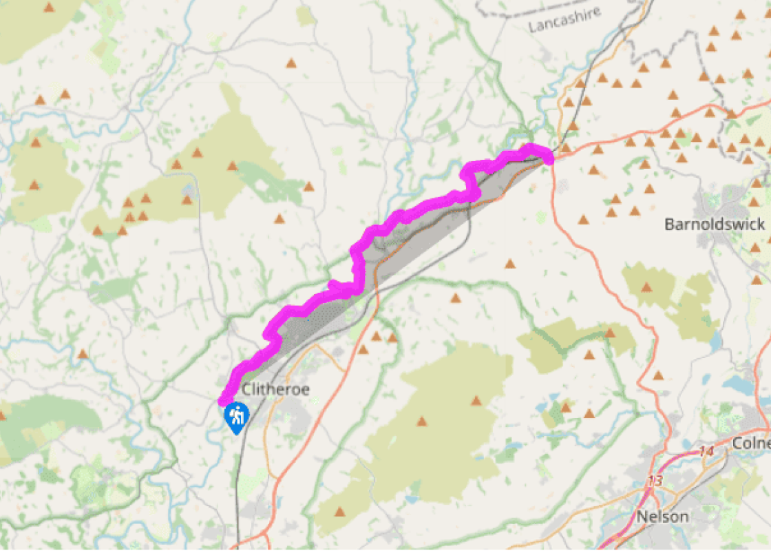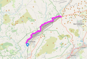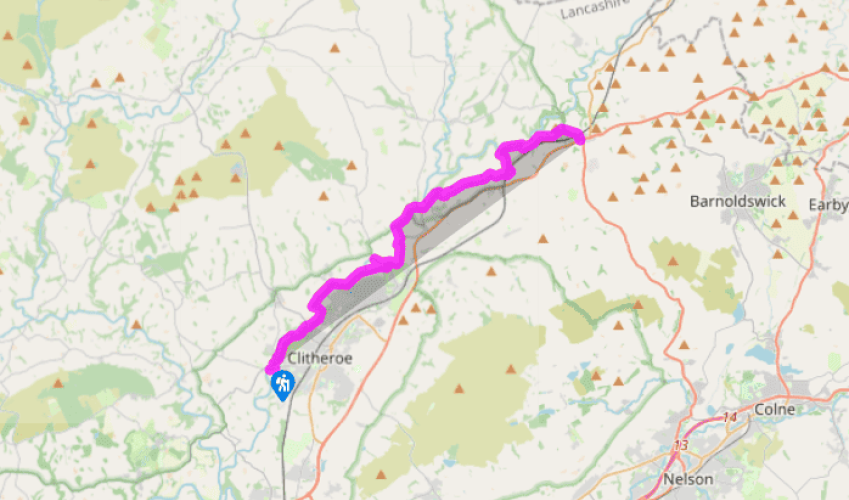

Ribble Way: Clitheroe to Gisburn
From Edisford Bridge turn right along Edisford Road. Keep straight ahead for the railway station or town centre; otherwise, turn left along a metalled path, passing right of the Ribbleside Pool, continuing to a riverside path. Skirt a football pitch then bear right and go between houses into the suburb of Low Moor.
Turn left on a street, which bends right, then go right at a fork and walk through a new housing development. Continue along a track to a stables, through a small gate and up to a stile. Follow a fence and continue to Boy Bank Wood. Descend through it and follow the riverside to Brungerley Bridge.

Been on this walk?
Send us photos or a comment about this route. Or recommend a route of your own.

Walking in Safety
Read our tips to look after yourself and the environment when following this walk.

Get an AA guide
Explore our range of ‘50 Walks in’ guides - they’re the ideal companion for a ramble.
Been on this walk?
Send us photos or a comment about this route. Or recommend a route of your own.
Walking in Safety
Read our tips to look after yourself and the environment when following this walk.
Get an AA guide
Explore our range of ‘50 Walks in’ guides - they’re the ideal companion for a ramble.
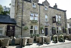
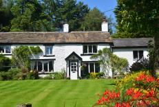
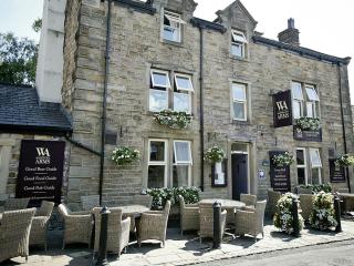
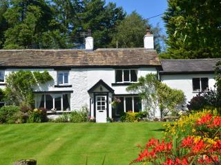
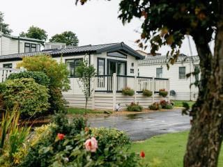
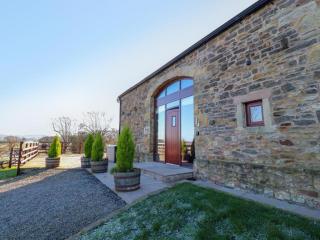
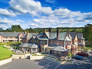
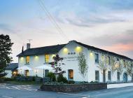
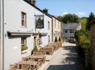
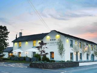
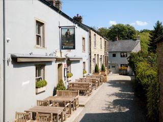
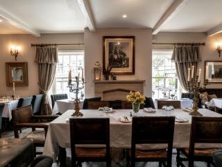
Nearby places to stay
View all (8)