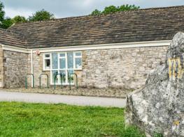
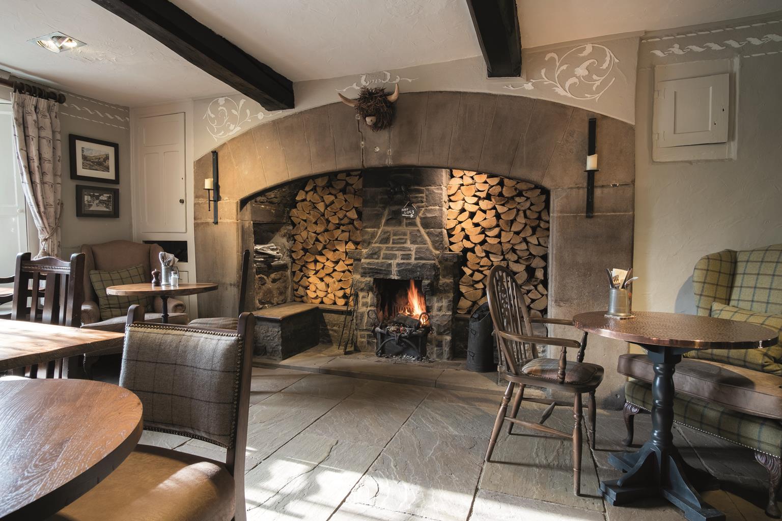
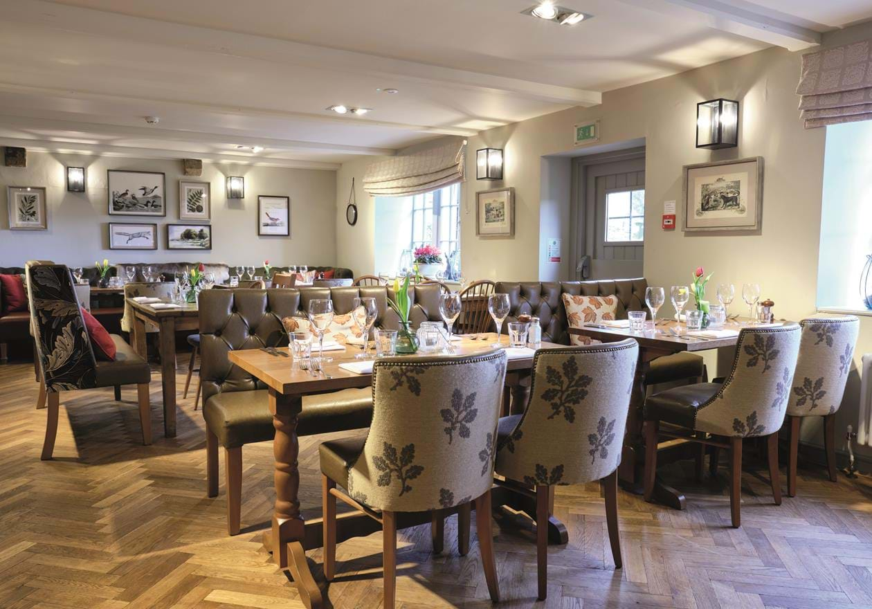

The Golden Lion
Located in the heart of the market town of Settle, this is a traditional coaching inn with an…

Settle
7.5 miles (12.1kms)
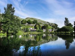
Settle, which received its market charter in 1249, is surrounded on three sides by impressive limestone uplands. Located where stock-rearing, uplands farming meets the mixed farming of the south, it has prospered from both. Later, 18th-century development reduced the town’s reliance on farming and today tourism plays an important part in its economy.
The lead on the roof of the Norman church at Horton in Ribblesdale pre-dates the warring years of the Reformation and the Civil War. Thanks to its out-of-the-way situation, the church escaped the roof-stripping that happened to other churches on main travel routes.
A strange story lies behind a mysterious inscription on a brass plate brought in from the churchyard to protect it from the weather. It reads:
Sacred to the memory of Richard Thornton, a short time ago schoolmaster here for the district, an honest man, fleeing from the Law, anxious to prove his innocence, and also Elizabeth, his wife. Catherine, their only daughter, erected these tombstones at her own expense as a token of appreciation of the life of her dead parents. Died 29th August, 1744, 57 years.
Nobody knows why the honest teacher was fleeing from the Law. The enigma remains to tantalise.
Horton is a starting point for people attempting the famous Three Peaks challenge circuit over Pen-y-Ghent, Whernside and Ingleborough. Pennine Way and other long-distance walkers use it as a base, as do cavers and pot-holers. The Three Peaks are the best-known of the Yorkshire Dales and their shapes are perhaps the best-loved of all the Dales mountains. Whernside, to the northwest, is the highest at 2418ft (737m); westwards Ingleborough rises to 2,373ft (723m), eastwards and just 100ft (30m) lower, is Pen-y-Ghent at 2,273ft (693m).
In 1887, two Giggleswick schoolteachers, Canon J R Wynne- Edwards and D R Smith, walked over Ingleborough to have tea at the Hill Inn, Chapel-le-Dale. Whernside beckoned and they decided to tackle it. From its summit, Pen-y-ghent lured them on, to complete the three. So the golden age of peak bagging in the Dales began and the Yorkshire Ramblers was born. In 1897, four of its members started and finished the Three Peaks in 10.5 hours from Gearstones. Today, 12 hours is considered a reasonable time in which to ‘do’ them, clocking in and out at the Pen-y-ghent Café in Horton in Ribblesdale. Because of erosion the present route has been extended to 25 miles (40km) with 5,000ft (1,524m) of ascent.
Follow the footpath, signposted ‘Stackhouse’, past a sports ground and over fields to Stackhouse Lane. Continue right along it, and turn right into a track at a white house, Ribblelands. At the river turn left, along a clear stiled path.
Pass Stainforth Force, a series of low but powerful cataracts, to reach Stainforth Bridge. Cross the bridge and continue along the lane. Just before the railway, you can avoid walking on the busy B6479 by following the well-marked Pennine Bridleway to find an underpass.
This leads to a car-park (toilets). Turn right into the village, then left, signed Halton Gill and Arncliffe. At the next junction go straight ahead along a short lane right of Stainforth House.
Cross a field diagonally left to a stile and, ignoring the obvious path, go diagonally right, uphill, to a field-corner stile. Continue uphill, cross a gated step-stile and continue ahead, finally bearing right to a ladder-stile on the horizon.
Follow the clear, sometimes muddy, path ahead to a byway, Moor Head Lane and turn left along it. Descend the scarred track to the B6479. Turn left briefly, and right at the junction.
Cross Helwith Bridge, the inn car park and two fields. Cross the quarry road and follow the concessionary path alongside. At its end, go through a gate, under the railway line and along a walled lane.
Follow the riverbank then a track straight ahead. Cross a field to regain the riverbank and follow it to the New Inn Bridge, Horton in Ribblesdale.
Mostly riverside paths but some steep climbs and a stretch of moorland, which can be boggy in winter or after a wet spell
Limestone crags and high hills, including Pen-y-Ghent and Ingleborough, rise dramatically on both sides of the valley
There may be opportunities to run free on the high moors if sheep are not present. Take care on the byway after this as it is used by mountain bikes and motor vehicles.
OS Explorer OL 2, 0L 41
Pay-and-display car-parks in both Settle and Horton in Ribblesdale
Settle town centre, Stainforth, Horton car park
<p>Public Transport: Settle and Horton are adjacent stops on the Settle–Carlisle railway line.</p>
Read our tips to look after yourself and the environment when following this walk.
Discover more than 15,000 professionally rated places to stay, eat and visit from across the UK and Ireland.
Choose a place to stay safe in the knowledge that it has been expertly assessed by trained assessors.
Search by location or the type of place you're visiting to find your next ideal holiday experience.
Read our articles, city guides and recommended things to do for inspiration. We're here to help you explore the UK.