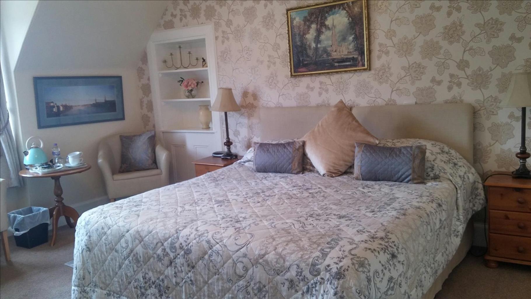

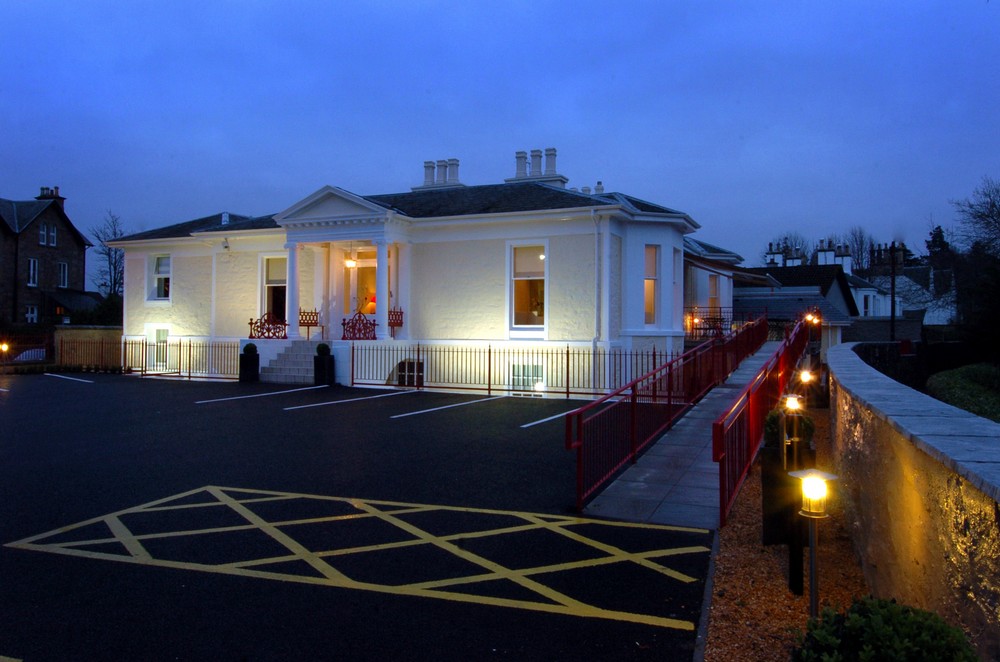
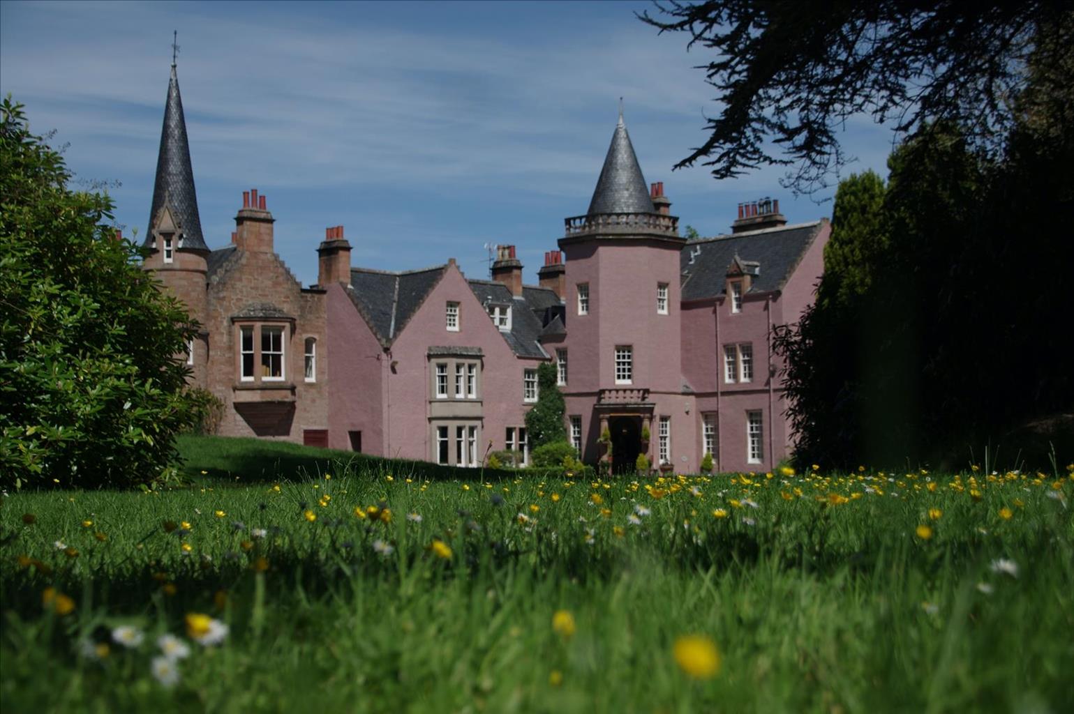
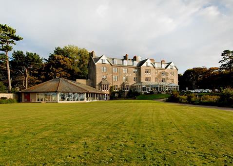
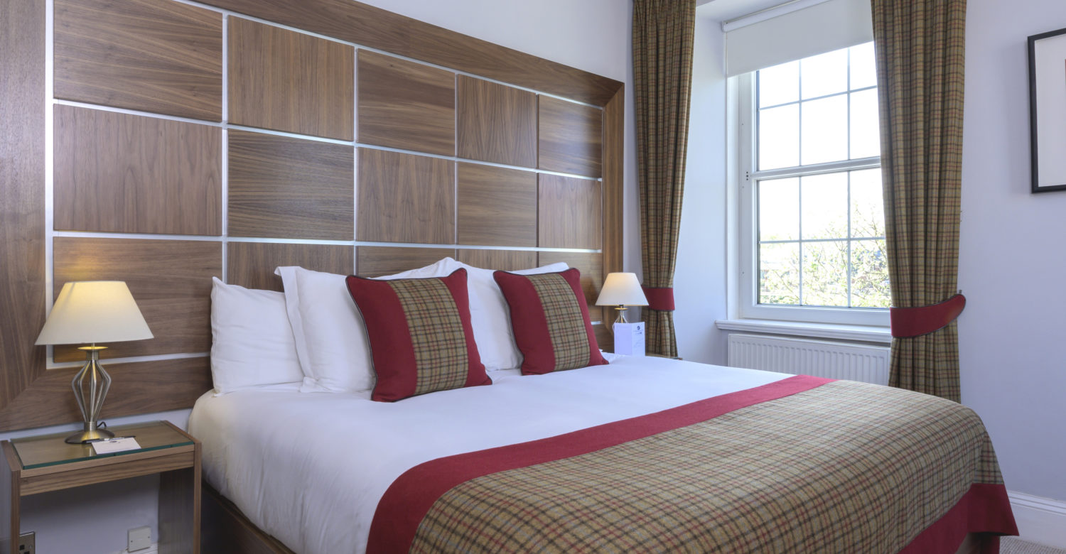
Glenmoriston Town House Hotel
Bold contemporary designs blend seamlessly with the classical architecture of this stylish hotel…

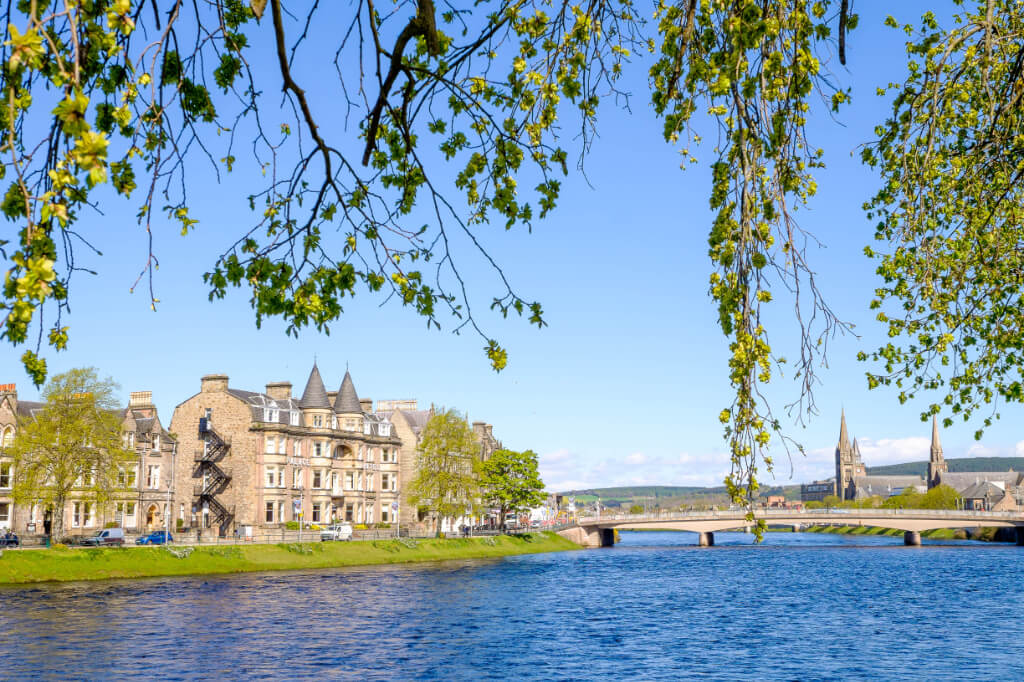
An Inverness town walk of riverside, seaside and canalside.
Inverness
7 miles (11.3kms)
At 12 miles (20km) long from Loch Ness to the sea, the River Ness is one of Britain's shorter rivers (though it's still a lot longer than the Scavaig River on Skye, at just over 0.25 miles/400m). It has a total fall in height of just 55ft (16m). The first claimed sighting of the Loch Ness Monster was in the River Ness in AD 565, when Saint Columba is said to have banished a water monster back into the river after it molested one of his disciples who was swimming across.
The only bridges over the river are within Inverness itself; this walk crosses most of them. Furthest upstream are the three footbridges linking the two banks by way of the Ness islands. Next comes a white suspension footbridge, the Infirmary Bridge (built 1879) and then the Ness Bridge (1961) at the centre of town; this replaces a suspension bridge that was too narrow for modern traffic, which itself replaced earlier bridges washed away by floods.
Below that comes another handsome footbridge, the Grieg Street Bridge of 1881, one of the very first steel-cable suspension bridges. Then there's the concrete Friar's Bridge, carrying the dual carriageway of the A82. Below that is the grey-girdered Waterloo Bridge, still known locally as the Black Bridge, as that was the colour of the earlier wooden bridge that it replaced in 1896. Finally the steel railway bridge was put up in a hurry when the original stone one was washed away in 1989, leaving no railway engine at all in northern Scotland – to maintain some service, one engine was carried by road across the Waterloo Bridge.
The Brahan Seer, whose real name (if he existed at all) was Kenneth Mackenzie, lived near Dingwall in the 17th century and made some remarkable predictions about Inverness's waterways. 'One day ships will sail round the back of Tomnahurich Hill.' This unlikely prophesy came true with the building of the Caledonian Canal in 1882.
He also predicted that when there were five bridges over the River Ness, there would be worldwide chaos. Before the current Ness Bridge at the town centre, there was a rather narrow suspension bridge. In preparation for its demolition and replacement, a temporary relief bridge was completed in August 1939; on 1 September, Hitler invaded Poland.
He added that when there were nine bridges there would be fire, flood and calamity. What was, if you count the island footbridges as three separate ones, the ninth bridge, was the A82's concrete arch, built in 1987. In 1988 the Piper Alpha oil rig caught fire, with the loss of 167 lives.
Head downstream, with the river on your right, past the Ness Bridge (it leads to the tourist information centre). Cross a suspension footbridge to the foot of Church Lane. Continue downstream, with the water on your left. A cycleway leads under the concrete bridge of the A82. Turn left across the grey-girdered Waterloo Bridge, then right on Anderson Street. Continue along the streets nearest the river, as it opens into the Beauly Firth. A sidepath leads to a beacon at Carnach Point. This has a fine view of the estuary and Kessock Bridge.
Continue along the shore to the old ferry slipway. A sea wall path ahead runs to a level crossing, then between salt pools to the Caledonian Canal.
Turn left, past the wide Muirtown Basin (on your right). After a swing bridge, the canal rises through a set of locks. Follow it for another 0.75 miles (1.2km). With a swing bridge visible ahead, those with dogs must continue along the tow path, but those without can turn off left on a tarred path. Bruce Gardens ahead runs to the left of the wooded hill of Tomnahurich Cemetery.
A gate between white pillars lets you in (the cemetery is closed at night and dogs are forbidden). Head up the steep prow of the hill. Across the top a gravestone avenue dips into a turning circle, to a war memorial with a fine view. Return to the turning circle and down a track that bends back around the prow of the hill. Here turn down steep steps to exit from the cemetery (if the gates ahead are locked, head left for 170yds/155m to larger ones). Turn right to the swing bridge of the Caledonian Canal.
Just before the swing bridge, turn left along the nearside tow path. After 0.5 miles (800m), the River Ness appears below. Turn left on a path to a footbridge to Whin Island.
Turn left along the island. At its end a footbridge leads back to the left-hand bank of the river. Turn right, downstream. A white suspension bridge leads onto the first of the Ness Islands. At its end, another footbridge leads to a second island, and a further footbridge leads to the other bank of the river. Turn left to continue downstream for another 650yds (594m). A final footbridge leads back across the river, with the cathedral just downstream.
Smooth and wide
City and foreshore
Forbidden on Tomnahuirich – use alternative routes suggested in directions
OS Explorer 416 Inverness, Loch Ness & Culloden
Pay-and-display in Bishop Street, south of cathedral
Beside Inverness Castle
<p>During building of flood defences, divert one street inland between Point 1 and Waterloo Bridge</p>
Read our tips to look after yourself and the environment when following this walk.
Apart from the Orkneys and the Shetlands, Highland is Scotland’s northernmost county. Probably its most famous feature is the mysterious and evocative Loch Ness, allegedly home to an ancient monster that has embedded itself in the world’s modern mythology, and the region’s tourist industry. Monster or no, Loch Ness is beautiful and it contains more water than all the lakes and reservoirs in England and Wales put together. The loch is 24 miles long, one mile wide and 750 feet deep, making it one of the largest bodies of fresh water in Europe.
At the very tip of the Highlands is John o’ Groats, said to be named after a Dutchman, Jan de Groot, who lived here in the early 16th century and operated a ferry service across the stormy Pentland Firth to Orkney. In fact, the real northernmost point of the British mainland is Dunnet Head, whose great cliffs rise imposingly above the Pentland Firth some two miles further north than John o’ Groats.
The Isle of Skye is the largest and best known of the Inner Hebrides. Its name is Norse, meaning ‘isle of clouds’, and the southwestern part of the island has some of the heaviest rainfall on the whole of the British coast. Despite this, it’s the most visited of all the islands of the Inner Hebrides. It’s dominated from every view by the high peaks of the Cuillins, which were only conquered towards the end of the 19th century.
Discover more than 15,000 professionally rated places to stay, eat and visit from across the UK and Ireland.
Choose a place to stay safe in the knowledge that it has been expertly assessed by trained assessors.
Search by location or the type of place you're visiting to find your next ideal holiday experience.
Read our articles, city guides and recommended things to do for inspiration. We're here to help you explore the UK.