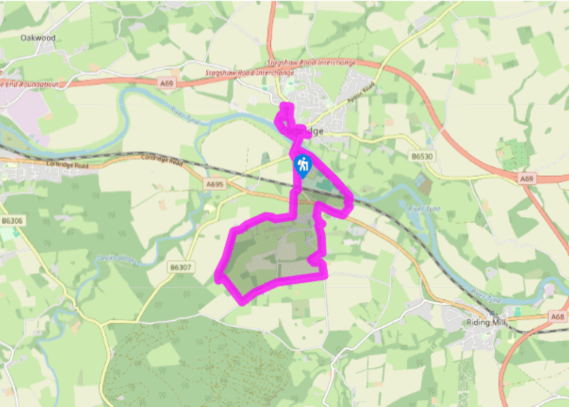
Additional information
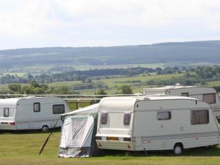
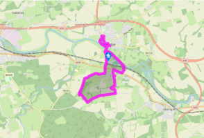
Terrain
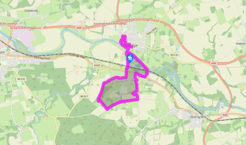
- Village streets, riverside and farm paths and lanes, 10 stiles
Landscape
- Small town and low hills
Dog friendliness
- Dogs should be on leads
Parking
- Long-stay car park beside B6321 on southern side of bridge
Toilets en route
- On Princess Street between Hill Street and Main Street
About the walk
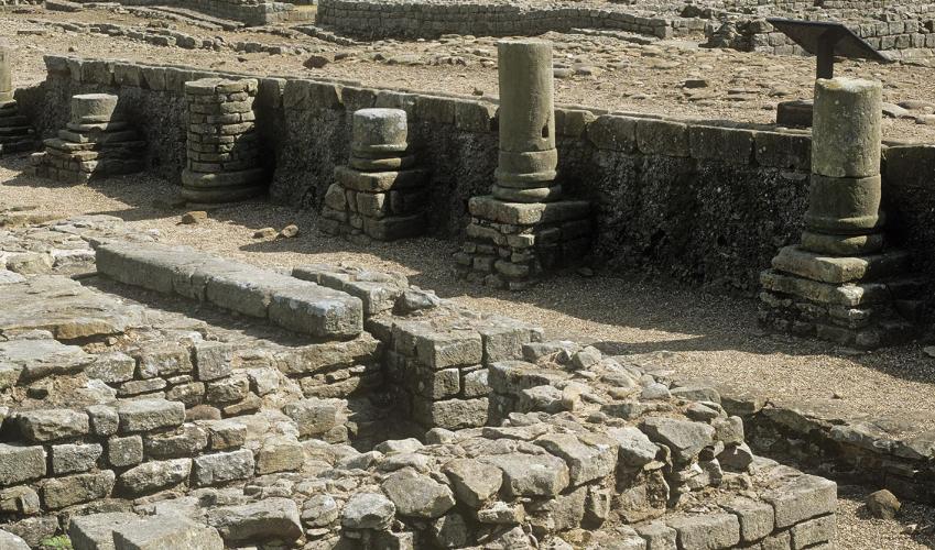
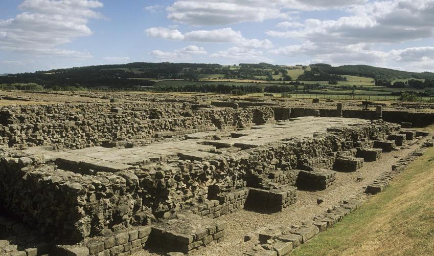
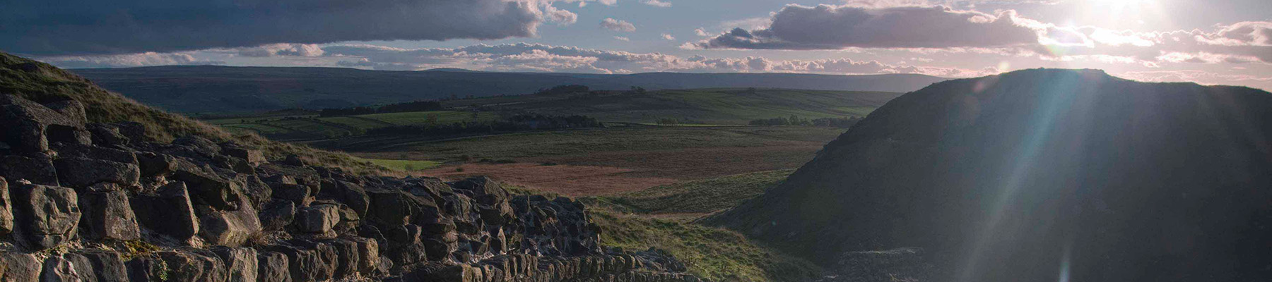
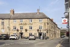
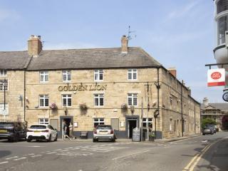
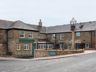
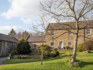
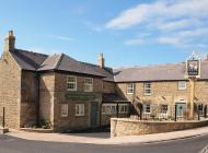
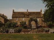
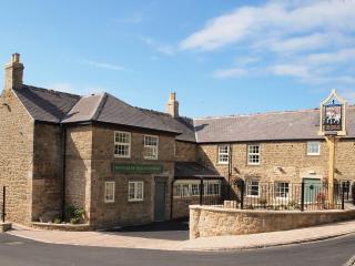
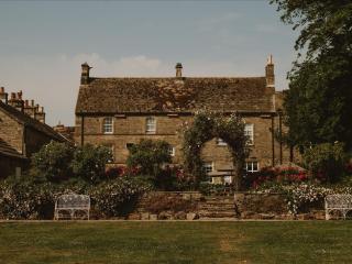
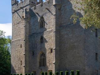
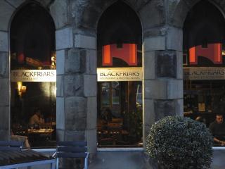
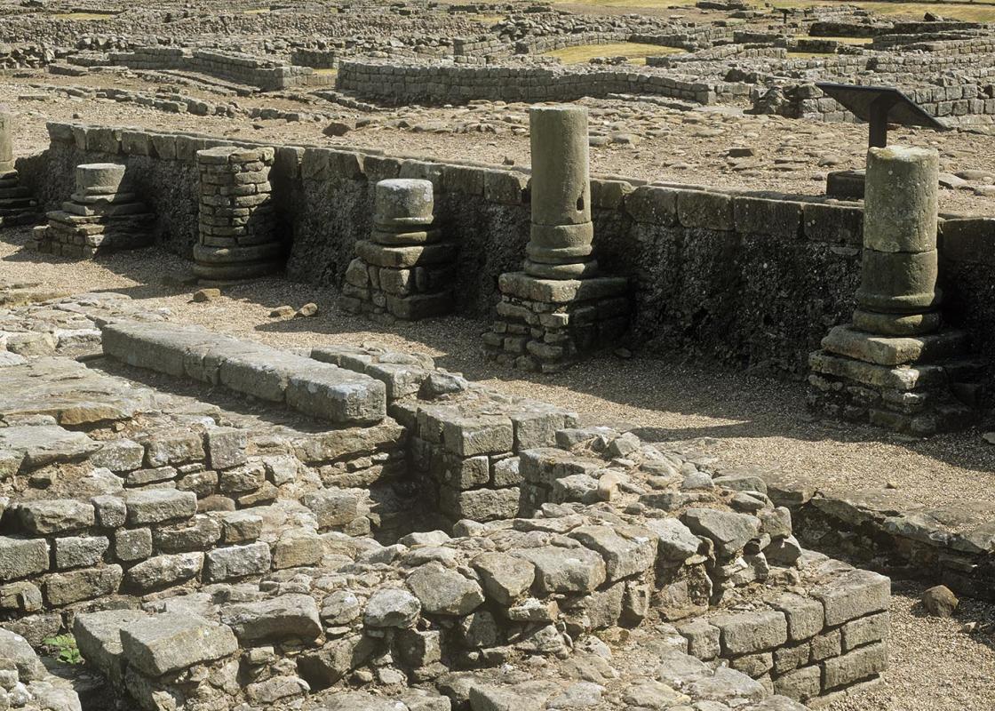
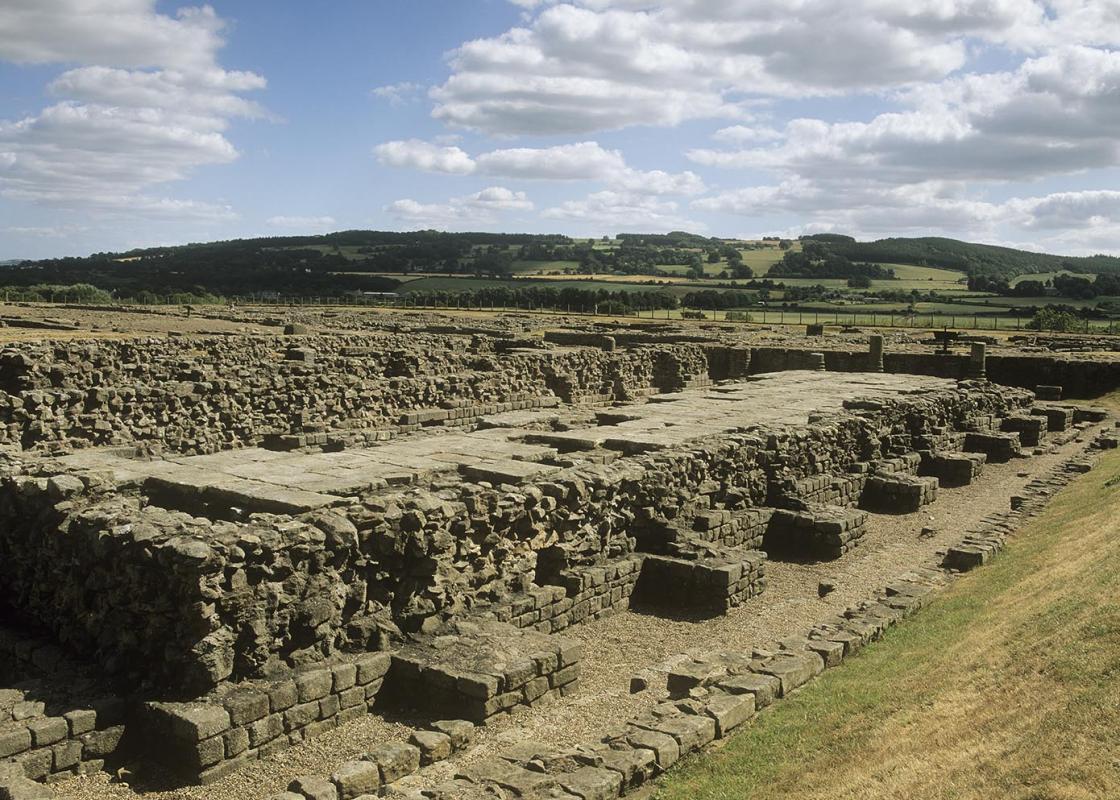
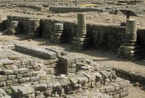
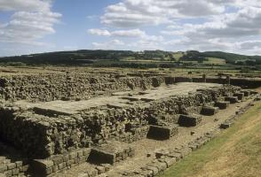
Corbridge is a picturesque little town, with Georgian stone cottages, antique shops and old inns cuddled up to a square-towered church. Nothing much happens here these days: people come for a little peace and quiet away from the city and maybe a spot of Sunday lunch in one of those inns. The wide... River Tyne flows by lazily on a journey that takes it from the wild hills of Northumberland, through the cityscapes of Newcastle and onwards to the shivering North Sea. Roman settlement Though the present town was founded in Saxon times, the Romans, under Agricola, first arrived in AD 79. They established their settlement six years later, just 0.5 miles (800m) to the west of modern Corbridge, on the north bank of the Tyne. Known as Corstopitum, it would have been the most northerly settlement in the Roman Empire, strategically placed at the junction of their Dere Street (which led from York to northern Britain) and Stanegate (from Corbridge to Carlisle) roads, and near to what was, after AD 122, the frontier: Hadrian’s Wall. The Romans had a fine bridge across the Tyne, and you can still see the remains of foundations when the water levels are low. Defence against the Scots In past centuries Corbridge was second only to Newcastle in this part of the world, and of great strategic importance. As such, the town has known many troubled times. Low Hall, at the eastern end of Main Street, has a fortified pele tower. These fortifications were added to defend against the Scots; both the marauding Border reivers, who came to rob and pillage, and the Scots armies, who came to destroy. William Wallace, Robert the Bruce and King David II all invaded and laid the town waste on their journeys south. Centrepiece of modern Corbridge is undoubtedly St Andrews Church, built in the Saxon era and with a Roman archway borrowed from the older settlement. The church was extensively modified in the 13th century, with the addition of aisles, transepts and chancel, and restored during Victorian times. Round the back of the church you’ll come across another fortified house, this time the 13th-century Vicar’s Pele – even the clergy were not immune to the wrath of the Scots. Before going down to the River Tyne and that magnificent 17th-century bridge, the route passes Town Barns, where the famous northeast-based author Catherine Cookson lived in the 1970s. The route follows the riverbank now, before climbing out of the valley, traversing pastures scattered with woods, and leading along hedge-lined country lanes. You arrive at Prospect Hill, with its pristine cottages and farmhouses. It does indeed have prospects – a fine view of Corbridge, the Tyne Valley and the low hills beyond where the Romans marched and Hadrian’s Wall once offered a firm deterrent to those erring northerners.
Read more