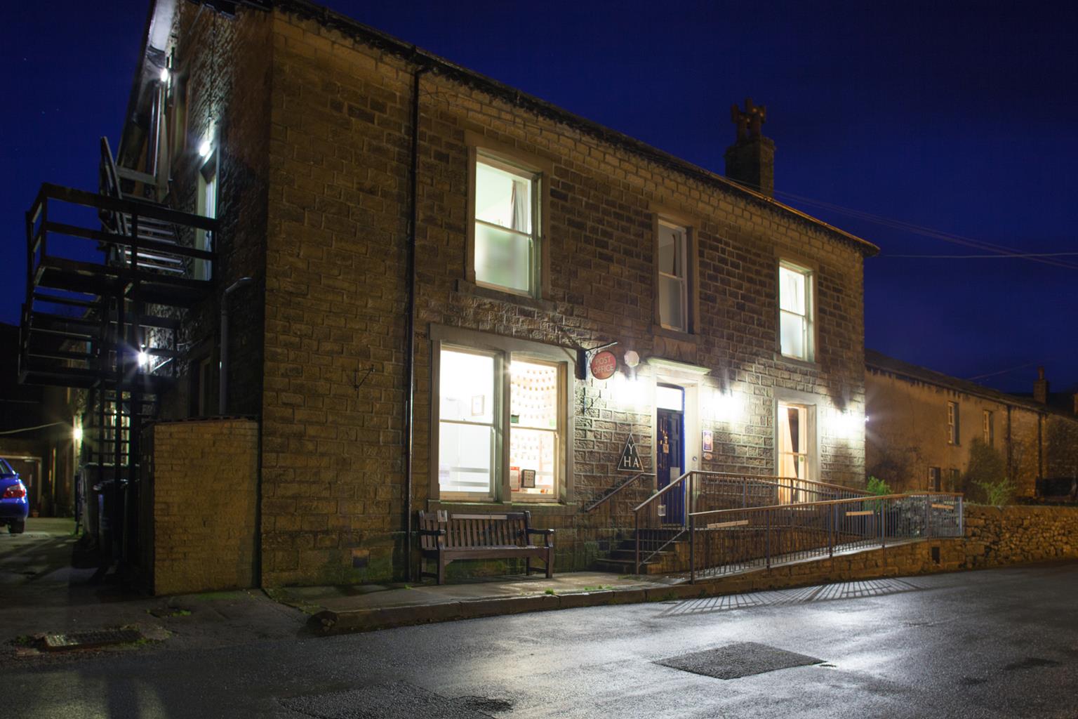
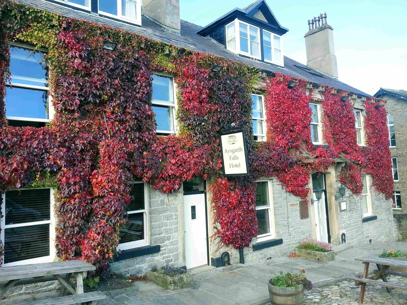

Fountains Cottage
Recently renovated, Fountains Cottage makes for a fantastic base to explore the magical…

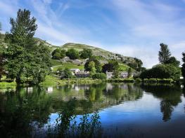
Upper Nidderdale
9.3 miles (15kms)
Opened in 1936, Scar House is one of a string of reservoirs in Nidderdale that serve the city of Bradford, 30 miles (48km) to the south – the others include Angram, to the west, and Gouthwaite, down the valley towards Pateley Bridge. There is still evidence around the dam of the remains of the village in which the navvies who built it lived and of the ancillary buildings where they stored machinery and dressed the stone. There were some protests before the dams were built about the drowning of parts of the valley, and rumours that Nidderdale was left out of the Yorkshire Dales National Park when it was designated in 1954 because the reservoirs had blighted the landscape. Redress was made in 1994 when 603sq miles (1,562sq km) of Nidderdale was declared an Area of Outstanding Natural Beauty (National Landscapes).
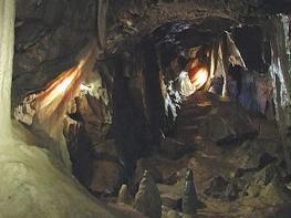
‘Yorkshire’s Little Switzerland’, says the publicity for How Stean Gorge. The How Stean Beck forced its way through the limestone, cutting a gorge up to 80ft (24m) deep, with pools and overhangs enough to please both geologists and small children. For a fee you can enter the gorge, crossing by footbridges and exploring the narrow paths. The more adventurous can borrow a torch to investigate the deep Tom Taylor’s Cave, said to be named after a highwayman who holed up here.
The village of Middlesmoor, visible after passing How Stean Gorge, is one of the most dramatically sited in the area. Set high on a bluff overlooking the Nidd Valley, its 19th-century church is on the site of a building thought to have been founded by St Chad; it contains the head of a Saxon cross.
Following the Nidderdale Way from Lofthouse, you may see groups preparing to enter the Goyden Pot system, 3.5 miles (5.7km) of underground caves and passages cut by the River Nidd. An early guidebook noted that ‘Goyden Pot Hole is a large Rock, into which the River Nidd enters by an arch finely formed and with a lighted candle a person may walk three hundred yards into it with safety’. This procedure is not recommended today!
Walk past the dam and along the side of the reservoir. Just before a gate turn sharp left. The stony track climbs below crags then zig-zags up to open moor. Continue to a gate. A few paces beyond, go right through another gate.
Follow a path down to a wall and bear left. The undefined path goes through heather, roughly parallel to the wall, to a track. Turn left, cross two cattle grids, then turn right, down to a gate. Walk down the field to a gate just right of a house.
Descend to a gate left of a ruined barn. Bear right through a gateway, then bear left through another gate to pass right of another barn. Continue in the same direction into woodland. A clearer path joins from the right; bear right, slanting down to the riverside.
Follow the path above the river, then through fields to a ladder stile and follow the edge of woodland to a gate and Nidderdale Way sign. Turn right down steps to cross a footbridge over the river. Follow the path to a lane and go left, passing How Stean Gorge entrance, to a stone bridge.
Follow the lane over the bridge to a T-junction and turn right. At a lay-by on a bend go through a kissing gate. Follow the path beside a cricket ground. Cross a lane and go over a bridge. Bear right and then pass between buildings to Lofthouse.
Turn left uphill. As the road bends right, go left on a level grassy track, signed 'Scar House Res'. Ignore branches to the right and follow the main track through five gates to Thrope Farm. Keep straight ahead through two more gates until a waymarked sunken path slants down to the river. Cross to a waymarked gate. Follow a path above the river, going over a stile in the fence on your right, then join a track towards a farm.
Pass metal sheds, then bear left to a metal gate beside a house. Follow the track to the riverbank and continue upstream. Eventually you will reach a footbridge over the river. Cross, go over the stile, turn left and continue along the riverside. At New Houses go through a gate, cross a lane and continue along the riverside track.
Where the track bends right, go ahead through three stone stiles and continue to a wooden stile. Climb slightly, then bear left to a gate. Descend to another gate, then bear right to a farm. Go ahead through two gates between the buildings to a track which climbs and bends right to pass another house.
Climb to a gap between high walls. Continue uphill, with a broken wall on your right, to a gate. Turn right. At a crossing track turn left, uphill, and follow the track until it crosses another track, directly above the dam. Descend to the dam and cross it to return to the car park.
Moorland tracks, field paths and lanes, 13 stiles
High hills of Upper Nidderdale, farmland and riverside
On leads on farmland; dogs are not permitted on access land between points 1 and 3
OS Explorer 298 Nidderdale
Signed car park at top of reservoir access road
By car park at the start and in Lofthouse
Read our tips to look after yourself and the environment when following this walk.
North Yorkshire, with its two National Parks and two designated Areas of Outstanding Natural Beauty, is England’s largest county and one of the most rural. This is prime walking country, from the heather-clad heights of the North York Moors to the limestone country that is so typical of the Yorkshire Dales – a place of contrasts and discoveries, of history and legend.
The coastline offers its own treasures, from the fishing villages of Staithes and Robin Hood Bay to Scarborough, one time Regency spa and Victorian bathing resort. In the 1890s, the quaint but bustling town of Whitby provided inspiration for Bram Stoker, who set much of his novel, Dracula, in the town. Wizarding enthusiasts head to the village of Goathland, which is the setting for the Hogwarts Express stop at Hogsmeade station in the Harry Potter films.
York is a city of immense historical significance. It was capital of the British province under the Romans in AD 71, a Viking settlement in the 10th century, and in the Middle Ages its prosperity depended on the wool trade. Its city walls date from the 14th century and are among the finest in Europe. However, the gothic Minster, built between 1220 and 1470, is York’s crowning glory.
Discover more than 15,000 professionally rated places to stay, eat and visit from across the UK and Ireland.
Choose a place to stay safe in the knowledge that it has been expertly assessed by trained assessors.
Search by location or the type of place you're visiting to find your next ideal holiday experience.
Read our articles, city guides and recommended things to do for inspiration. We're here to help you explore the UK.