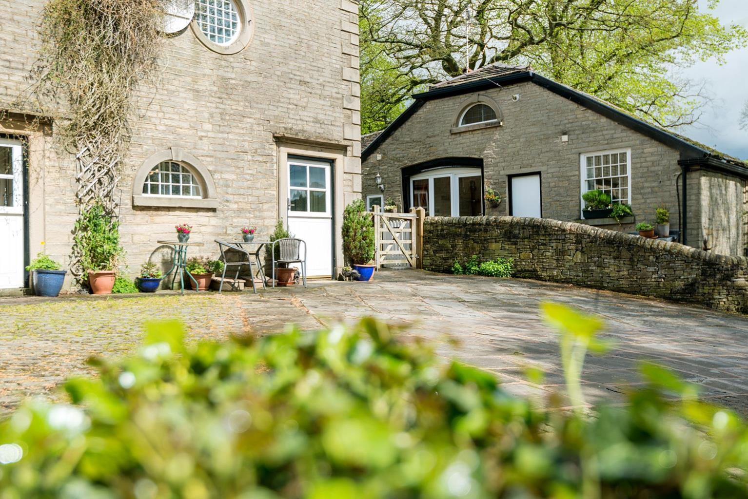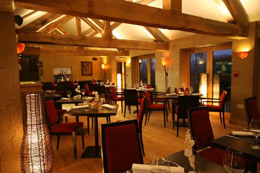


Roaches Holiday Cottages
Roaches Holiday Cottages occupy a spectacular hillside location on the south-western edge of the…

The shapely peak of Shutlingsloe and the diverse woodland of Macclesfield Forest.
Macclesfield Forest
6.7 miles (10.8kms)
The Royal Forest of Macclesfield was once the preserve of the nobility, an extensive hunting ground for the royal court searching for deer and boar. It covered a large area, stretching across from the Cheshire Plain to the valleys of the Goyt and Dane, but most of the so-called ‘forest’ was probably little more than open ground or scrub, with large tracts of high and inhospitable moorland. In the 1400s Henry VI appointed John Stanley as Steward of Macclesfield Forest, and it was his son Thomas (later Baron Stanley) who played a crucial role in the Battle of Bosworth in 1485 to ensure the victory of his stepson the Earl of Richmond, who became Henry VII. The grateful new king made Stanley the Earl of Derby, and the office of Steward of Macclesfield Forest became a hereditary position.
The Forest Laws that operated in the hunting lands until Elizabethan times were extremely strict. There were severe penalties for anyone caught poaching, as testified by the name of the isolated hilltop pub, the Hanging Gate, that the walk visits at Higher Sutton. Near the start of the walk is the equally descriptive Crag Inn, tucked away above Clough Brook at Wildboarclough. But whether, according to local tradition, ‘the ravine of the wild boar’ is indeed the location of the last of its kind killed in England during the 15th century is open to doubt. Looming above Wildboarclough is the coned peak of Shutlingsloe, which at 1,659ft (506m) offers a full 360-degree panoramic view over Cheshire, Staffordshire and Derbyshire.
Later on is Tegg’s Nose, a gritstone outcrop to the north that protrudes above the dark-green conifers of the present-day Macclesfield Forest. This modern plantation produces timber rather than venison and provides encouragement for wildlife. Walkers are welcome to explore the forest’s many paths and tracks. Look out for the occasional wooden sculpture, and wildlife such as crossbills and woodpeckers, stoats and foxes. The heronry in the larch trees on the eastern shore of Trentabank Reservoir is the largest in the Peak District. In addition, the forest is home to red deer.
Walk up the road to The Crag Inn. Go through a gate beside the car park entrance and double back left on a grass pathway above the lane. Guiding waymarkers indicate the route across the hillside, gently gaining height over successive fields. Detour briefly to the right to cross a stream below Higher Nabbs Farm, then return to your original course, rising gently to a wall stile which leads out on to a metalled track. Follow this downhill to a junction.
Turn right and walk along the lane past Heron Crag to a bridge. Go through a kissing gate on the right and follow the path near the stream. After a gate, cross a bridge. The path now twists across a stream then follows its valley (Oaken Clough) uphill, passing through another gate just below some power lines. Towards the top, turn left and cross the stream on a permissive path just below a house, following waymarkers past a pond to a driveway. Turn left through a gate and climb beside a wall.
A gate at the top leads across moorland on a grassy track, which can be boggy when wet. Later join a wall on the right, then swing right through a gateway and then go left over a stile. Follow a sunken track down to emerge opposite the Hanging Gate pub.
Turn right on to the tarmac lane, then fork right at a hairpin bend. Keep straight on past a side road then bend right into Macclesfield Forest.
Turn right through a wide forestry gateway. Ignore the broad track signed ‘Shutlingsloe’ and instead take a footpath left and parallel with the road towards Trentabank. A zigzag descent leads to a junction of paths with a red-banded waymarker. Cross a broad track then turn right at another red waymarker to wind your way up through the forest to reach another junction.
The Forest Ranger Centre is a short detour to the left, but Shutlingsloe lies to the right. Rise to a broader track and go left. At a junction by a gate, turn right and climb steadily through the forest, passing a barrier at the top. Join a forest bridleway which rounds a bowl of recently cleared plantation, then just after a vehicle turning area, fork right up a track towards Shutlingsloe. Pass through a gate and follow a slabbed path across the moor towards Wildboarclough. Shutlingsloe’s iconic conical summit soon comes into view. Go through a gate, turn right and continue by the wall line. A steepening and surprisingly strenuous slabbed path leads to the top.
From the summit head briefly south, then descend an eroded path down the steep eastern slope of the hill, to an open farm drive. Turn right on to this, then follow it all the way down to the road and turn right to return to the car park.
Sloping field paths, lanes and easy forest tracks, steep hillside, many stiles
Rough pasture, angular hills, plus large tracts of woodland
Dogs should be kept under close control and on lead across the moor. Cows with calves may be present below Higher Nabbs farm; if present, follow directions at field entrance
OS Explorer OL24 Peak District – White Peak Area
Lay-by at Brookside, on lane 0.25 miles (400m) south of The Crag Inn
At Forest Ranger Centre
Read our tips to look after yourself and the environment when following this walk.
Nestled between the Welsh hills and Derbyshire Peaks, the Cheshire plains make an ideal location to take things slow and mess around in boats. Cheshire has more than 200 miles (302 km) of man-made waterways, more than any other county in England. The Cheshire Ring is formed from the Rochdale, Ashton, Peak Forest, Macclesfield, Trent and Mersey and Bridgewater canals. This route takes you through a lot of Cheshire, and bits of other counties as well.
While exploring the county’s waterways, covering ground on foot or admiring the typical white plaster and black timber-frame houses, make sure to have a taste of Cheshire’s most famous produce. Although Cheddar has become Britain’s most popular cheese (accounting for over half of the cheese sales in the UK), it was once Cheshire cheese that was in every workman’s pocket back in the 18th century. Its moist, crumbly texture and slightly salty taste mean it goes well with fruit, peppers or tomatoes. As well as the usual white, there are also red and blue veined varieties.
Discover more than 15,000 professionally rated places to stay, eat and visit from across the UK and Ireland.
Choose a place to stay safe in the knowledge that it has been expertly assessed by trained assessors.
Search by location or the type of place you're visiting to find your next ideal holiday experience.
Read our articles, city guides and recommended things to do for inspiration. We're here to help you explore the UK.