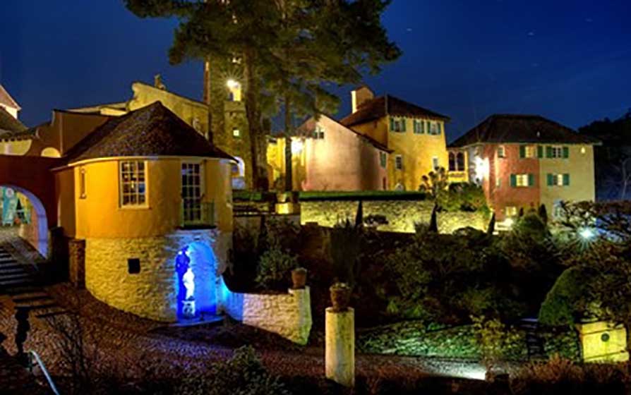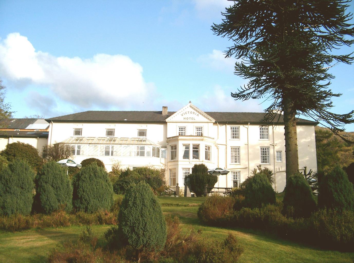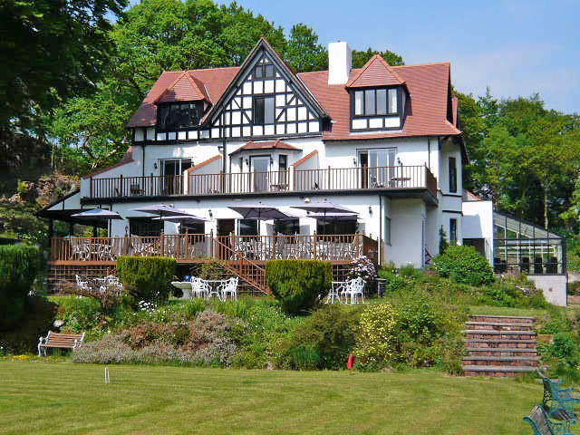

Aberdunant Hall
Part of the Aberdunant Hall holiday park, which is set on 200 acres of ancient woodland, that…

Cnicht
6.5 miles (10.5kms)
Seen from below in the valley of the Glaslyn, Cnicht is a splendid pyramid of rock. It has often been described as the Matterhorn of Wales, though it is perhaps more of an Eiger. Cnicht, which means ‘the knight’, is a little bit of a pretender though. Seen from any other angle its rock face is no more than the end of a long ridge radiating from the main Moelwyn–Siabod range.
The most popular route to Cnicht begins from Croesor, but perhaps the most interesting begins from Gelli-Iago in the partially wooded, rugged foothills of the Nantmor Valley. At the start a narrow path takes you up by the side of a stream, with little waterfalls overhung with rowan trees. You come to a wild, rushy hollow beneath Cnicht’s sides. The scenery turns more sombre, especially if the mountains hide behind low grey clouds. Many birds frequent this area, including the little wren, which feeds on insects found in crevices and screes. It’s hard to believe something so small can make so much noise, but this low-flying chestnut-coloured bird can startle you with its ‘churring’. The final rock steps up Cnicht’s ‘nose’ are exciting, though not enough to be frightening. Below, the cavernous Cwm Croesor disappears towards the Glaslyn Estuary and the Porthmadog horizon.
Cnicht has two tops, but the nearer one is the higher. The grassy ridge is a delight to walk, and wherever you look you see a sparkling tarn. Llyn Cwm-yfoel is a particularly fine one, tucked beneath the shadowy eastern flanks of Cnicht and precariously perched at the very edge of Cwm Croesor. Many of these tarns are breeding grounds for the sandpiper, a small wading bird with sandy brown head and wings and a white throat. It all seems so quiet now, but in the 19th century the whole area of Croesor and Bwlch y Rhosydd, below, would have echoed to the sound of quarry railways and mining explosions. Slowly the spoil heaps are being swallowed by creeping mosses and grasses as the mountains recover. The biggest lake you’ll see is Llyn yr Adar (‘lake of the birds’), which has an island in the middle. The birds referred to are gulls, and occasionally there are thousands of them – that’s because there are trout in the waters. Beyond Llyn yr Adar the route descends to Llyn Llagi, an almost circular lake backing on to precipitous cliffs. A waterfall, the outlet stream from Llyn yr Adar, tumbles down them. Always on this descent route, there’s Snowdon (Yr Wyddfa) glowering across the valley, getting higher and higher in the sky as the path slinks down to the valley.
Walk south along the road, then turn left along the track to Nantmor Mountain Centre (Gelli-Iago). Go through the gate to the left of the house, then round right behind it to a footbridge. A stony path now winds up the hillside, with the stream on the left and Cnicht appearing on the horizon ahead.
After a more level stretch, the path veers right and climbs to a ladder stile and the wild pass of Bwlch y Battel. The path peters out, but a marshy passage between high, rocky hillsides keeps you on the straight and narrow. Descend towards a tarn and pass above and left of it. Descend by its outlet stream through a narrow valley to a marshy hollow. Cross this (it's not as bad as it looks) to a broad green path. Follow this right, through a gate and to a junction with a marked post, where you meet the main Croesor-to-Cnicht route.
Turn left on the main path and climb onto the narrowing south ridge of Cnicht, which leads you to the summit.
Continue northeast, overlooking Llyn Biswail on the left and Llyn Cwm-y-foel on the right, to reach the col overlooking a large tarn, Llyn yr Adar.
Descend left to traverse the marshy grasslands east of the tarn. The path veers leftward beyond the northern shores, before swinging right again and up slightly to cross a low notch and then follow a grassy shelf in the rocks of Y Cyrniau (take care here as the path can be sketchy).
Work your way carefully downhill, until the main path becomes clearer, overlooking Llyn Llagi. Follow the path down over rough moorland and pasture, staying roughly parallel to the outlet stream of the llyn. Finally descend, drawing closer to the main stream, to a gate just above and to the right of Llwynyrhwch Farm.
Pass in front of the farm to a stile, then go diagonally right across two fields to a cottage. Go straight over the rise to the road opposite a new house, Blaen-nant, and turn left back to the parking area.
Mostly well defined on ascent, sketchy at times on descent, several stiles
High pastureland giving way to rocky mountain ridges
Sheep high on ridges in summer so dogs need to be on a lead
OS Explorer OL17 Snowdon / Yr Wyddfa
Free parking area near Gelli-Iago
None on route
Read our tips to look after yourself and the environment when following this walk.
The county of Gwynedd is home to most of the Snowdonia National Park – including the wettest spot in Britain, an arête running up to Snowdon’s summit that receives an average annual rainfall of 4,473mm. With its mighty peaks, rivers and strong Welsh heritage (it has the highest proportion of Welsh-speakers in all of Wales), it’s always been an extremely popular place to visit and live. The busiest part is around Snowdon; around 750,000 people climb, walk or ride the train to the summit each year.
Also in Gwynedd is the Llyn Peninsula, a remote part of Wales sticking 30 miles out into the Irish Sea. At the base of the peninsula is Porthmadog, a small town linked to Snowdonia by two steam railways – the Welsh Highland Railway and the Ffestiniog Railway. Other popular places are Criccieth, with a castle on its headland overlooking the beach, Pwllheli, and Abersoch and the St Tudwal Islands. Elsewhere, the peninsula is all about wildlife, tranquillity, and ancient sacred sites. Tre’r Ceiri hill fort is an Iron Age settlement set beside the coastal mountain of Yr Eifl, while Bardsey Island, at the tip of the peninsula, was the site of a fifth-century Celtic monastery.
Discover more than 15,000 professionally rated places to stay, eat and visit from across the UK and Ireland.
Choose a place to stay safe in the knowledge that it has been expertly assessed by trained assessors.
Search by location or the type of place you're visiting to find your next ideal holiday experience.
Read our articles, city guides and recommended things to do for inspiration. We're here to help you explore the UK.