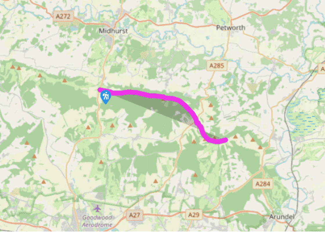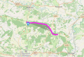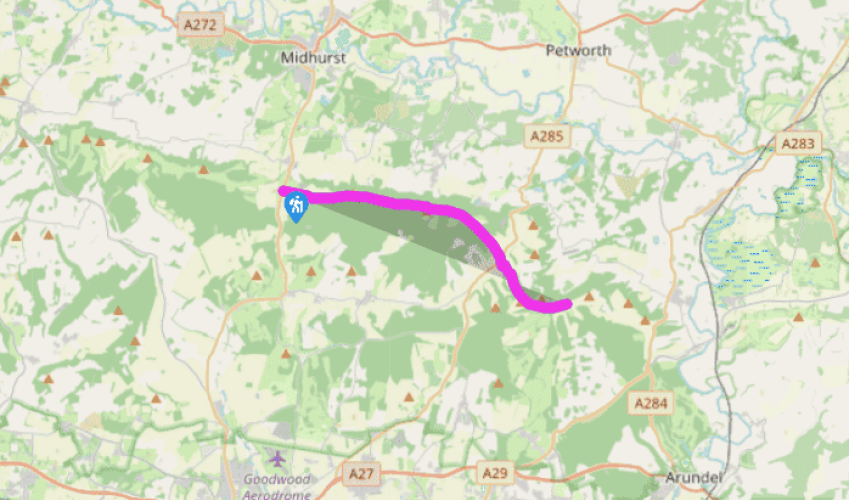
South Downs Way: Cocking Hill to Bignor Hill
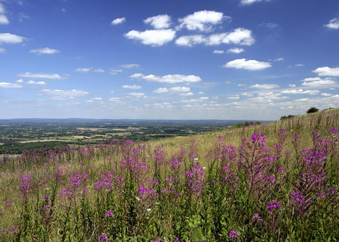
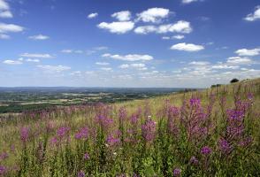
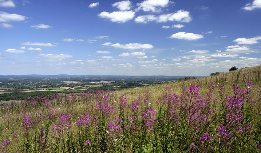
By Hill Barn Farm is one of the few public water taps for walkers along the entire length of the route. Fill up your water bottle as the track heads steeply uphill past Manor Farm Down and Heyshott Down. To the south is Goodwood Park, while far beyond on the coast is the former RAF Hurricane and Spitfire fighter station at Tangmere. Along the top of the Down, the views are shrouded by dense woodland.
You pass the village of Heyshott to the north, where 53 acres of downland are conserved and managed by the Murray Downland Trust. It was in a farmhouse called Dunford in Heyshott that Victorian free trader Richard Cobden was born. A little further along the SDW a number of connected grassland reserves and woodland corridors are managed by the Graffham Downland Trust as Sites of Special Scientific Interest.

Been on this walk?
Send us photos or a comment about this route. Or recommend a route of your own.

Walking in Safety
Read our tips to look after yourself and the environment when following this walk.

Get an AA guide
Explore our range of ‘50 Walks in’ guides - they’re the ideal companion for a ramble.
Been on this walk?
Send us photos or a comment about this route. Or recommend a route of your own.
Walking in Safety
Read our tips to look after yourself and the environment when following this walk.
Get an AA guide
Explore our range of ‘50 Walks in’ guides - they’re the ideal companion for a ramble.
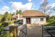
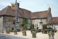
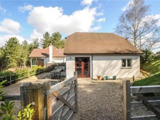
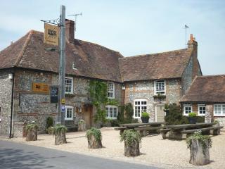
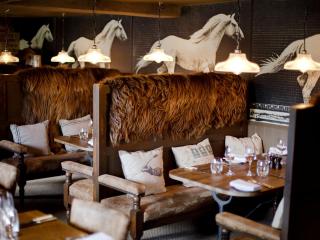
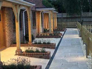
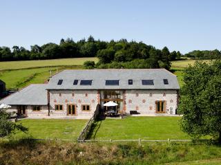
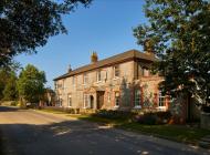
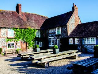
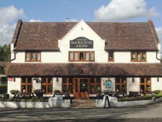
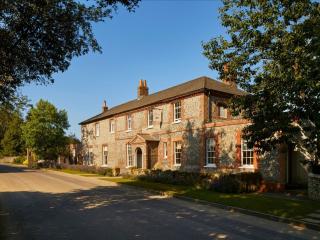
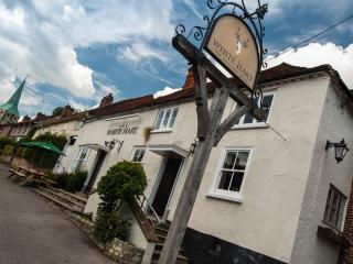
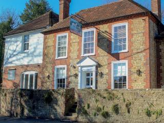
Nearby places to stay
View all (8)