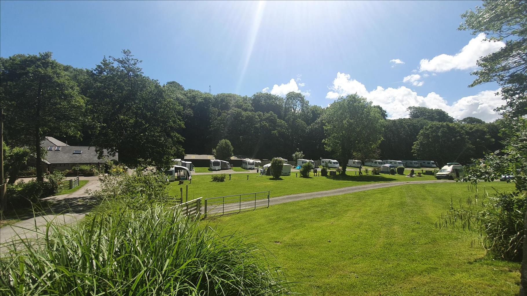


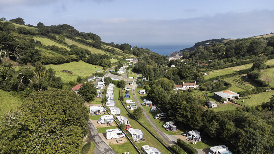
Newberry Valley Park
A family owned and run touring park on the edge of Combe Martin, with all its amenities just a…

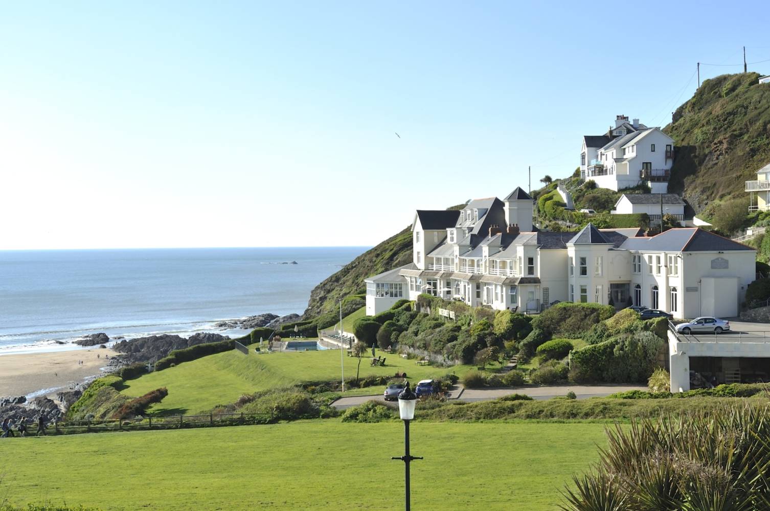
A varied walk along a surprisingly rugged and indented strip of coastline, culminating in a steep ascent onto Hillsborough, with magical views.
Combe Martin
5.7 miles (9.3kms)
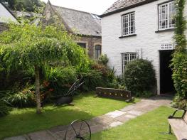
This stage starts from the little seaside resort of Combe Martin. In the 19th century, however, it was important for the export of iron and copper ores from Exmoor to South Wales, and the import of limestone and coal. The lime was used for making cement and plaster, and for dressing the acid Exmoor soils during moorland reclamation. There are old silver workings in Lester Point at the far end of the beach. The Combe Martin Museum and Tourist Information can be found on Cross Street (turn left out of the Kiln car park).
The village is renowned as one of the longest in the country, and there are some interesting buildings along the valley road. The bizarrely constructed Pack o’ Cards pub on the High Street was built in 1690 in celebration of a large win at cards and originally had four storeys with 13 doors on each floor, and 52 windows.
The Coast Path from Combe Martin to Ilfracombe is slightly ‘crammed in’ between the coast road and the sea, and weaves its way between harbours and houses and campsites. The section around Watermouth and Rillage Point, however, is a delight.
From the car park entrance bear right on Cross Street towards the beach. Meet King Street and follow the pavement uphill, turning right along The Parade (restored 2014) and ascending steps onto a quiet lane. Turn right and follow Coast Path signs to meet the A399.
Turn right, soon picking up a fenced path parallel to the road. Steep steps lead to another quiet lane; turn left to find the main road again, and turn right along it. Turn right.
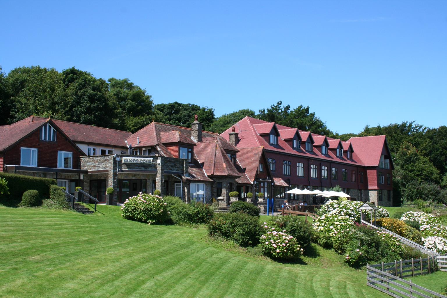
Opposite Barton Lane turn right and drop to the old coast road and entrance to Sandy Cove Hotel. Turn left on a track alongside the hotel and pass the steep access to Broad Sands beach, shortly after which the route diverts right. Keep along the seaward edge of a camping park, to exit it in the far right corner and meet the road again.
Turn right; the path continues alongside the road to a gateway opposite Watermouth Castle, leading to Watermouth harbour. The main path leads along the road and into the woods (a diversion can be made along the left edge of the beach at low tide to some steps up into the woods). Keep to the Coast Path around Widmouth Head, with its old coastguard lookout, to lovely Samson’s Bay and Rillage Point, then climb up to the coastguard cottages on the A399.
Turn right alongside the road to Hele (a diversion can be made to The Old Corn Mill, signed left). Turn right down the road to the beach then bear left, as signed. Climb steeply through woods to pass below the summit of Hillsborough (447ft/136m), with fine views over Ilfracombe harbour.
Follow the path on through the double rampart which defended Hillsborough in Iron Age times. On reaching a crossroads of paths with open ground ahead turn right (concealed sign) to emerge by a mini golf course.
Keep along the right edge of the golf course to meet a tarmac path (for a look at Rapparee beach – a ladies’ bathing beach in Victorian times – right), then turn left and follow signs past Larkstone Beach to reach the harbourside road. Drop to the finish of this stage at the quayside car park at the back of the harbour.
Undulating coast path, narrow and slippery in places; roadside paths and tracks
Coastal
Under control at all times; unfenced cliffs and road sections; on leads through campsites
OS Explorer OL9 Exmoor or 139 Bideford, Ilfracombe & Barnstaple
Pay-&-display car parks in Combe Martin and Ilfracombe
Combe Martin, Hele beach, Ilfracombe
<p>Take care alongside the busy A399; steep ascent onto Hillsborough and complex network of paths: keep a close eye on Coast Path arrows</p>
Read our tips to look after yourself and the environment when following this walk.
With magnificent coastlines, two historic cities and the world-famous Dartmoor National Park, Devon sums up all that is best about the British landscape. For centuries it has been a fashionable and much loved holiday destination – especially south Devon’s glorious English Riviera.
Close to the English Riviera lies Dartmoor, one of the south-west’s most spectacular landscapes. The National Park, which contains Dartmoor, covers 365 square miles and includes many fascinating geological features – isolated granite tors and two summits exceeding 2,000 feet among them.
Not surprisingly, in Dartmoor the walking opportunities are enormous. Cycling in the two National Parks is also extremely popular and there is a good choice of off-road routes taking you to the heart of Dartmoor and Exmoor. Devon’s towns and cities offer stimulating alternatives to the rigours of the countryside.
Discover more than 15,000 professionally rated places to stay, eat and visit from across the UK and Ireland.
Choose a place to stay safe in the knowledge that it has been expertly assessed by trained assessors.
Search by location or the type of place you're visiting to find your next ideal holiday experience.
Read our articles, city guides and recommended things to do for inspiration. We're here to help you explore the UK.