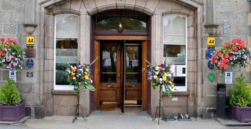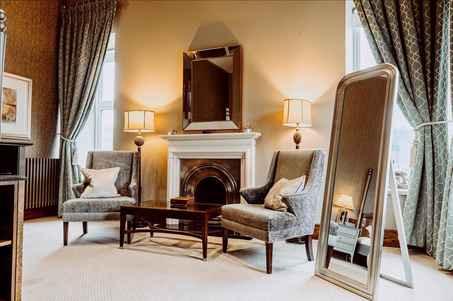
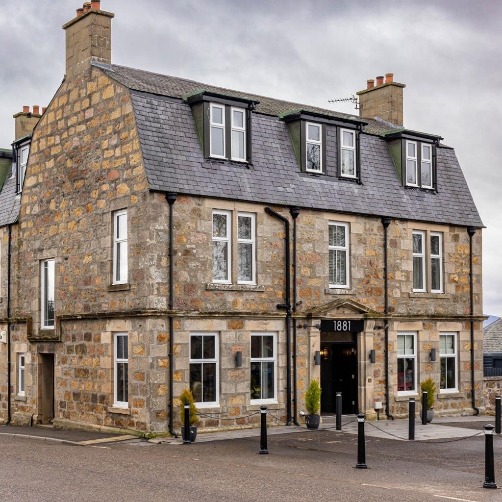
Hotel 1881
Hotel 1881 is a small boutique-style property located in the heart of Archiestown near Aberlour…

Across the stags' hill to the Highlands' highest village
Glenlivet
9.1 miles (14.7kms)
Cairn Daimh (pronounced ‘cairn dye’ and meaning ‘hill of stags’) commands a splendid panorama. To the west are the Hills of Cromdale, topped by Creagan a' Chaise. South is Strathavon, leading the eye further on into the Cairngorms, up to Ben Avon itself, topped by rocky tors like Ben Rinnes. As you look back, Rinnes dominates the northeast sector, while a little further west, if conditions are right, the distant sea, left behind two days or more ago, is visible. It is a place to savour, but it can be wild and windy too, and the last lap lies ahead.
Glenlivet's short but hot summers make for a fine barley crop; its streams are clear, running out of the granite Cairngorms. Combine this with handy hills to hide in, and you get a hotbed of the illicit distilling trade. Glenlivet's contraband spirit was so highly rated that King George IV was demanding it by name, even as his redcoats were hunting the distillers through the surrounding mountains. The Ladder Hills, seen at the glen's head as you cross Carn Diamh, are criss-crossed with old smugglers' paths to Donside.
Carn Daimh may rise to over 550m, but for whisky-lovers, the true high points of the walk lies rather lower down: the Glenlivet Distillery. This was the first distillery to be licensed after the laws were changed in 1823 to encourage licit, duty-paying whisky.
Tomintoul rhymes with fowl, rather than fool. The name derives from the Gaelic Tom an t-Sabhail meaning ‘barn knoll’. This is another planned village, set up with the encouragement of the 4th Duke of Gordon. He intended to establish a flax industry here. Tomintoul is the Highlands' highest village – or equal-highest, as Braemar and Dalwhinnie also lie on the 1050ft (340m) contour. This is too high for commercial cultivation of the linseed plant from which flax derives. Even so, after the first houses were occupied in 1780 the village developed steadily, with three long streets on a north–south axis, joined by short lanes.
It is a fine place to end a walk and to sit and reflect on the wide variety of scenery encountered since leaving Spey Bay: the walk has gone from the estuary of Scotland’s second longest river to one of its highest villages, taking in whisky, woods and wildlife. It provides an excellent introduction to the area, whetting the appetite to return and explore further the straths, glens and hills of one of Scotland’s most attractive areas.
Turn left along B9008 for a short distance and then turn sharp right down a lane to a ford and footbridge. Here a granite stone marks the entrance to the Cairngorms National Park. A track ahead leads up to join the distillery road. Turn left past the distillery – the Visitor Centre is just up on your right. (A Smugglers' Trails leaflet, available at the Visitor Centre, suggests less exposed alternative routes towards Tomintoul by way of yet another distillery at Tomnavoulin.)
Fortified by the free dram, continue up the lane to turn right at Glenlivet House. Turn off on a track leading past the old farmhouse Woodside. Above it a path has been made at the edge of a forestry plantation. At its top gate a much better, broader path is joined, rising to a pass below Carn Liath (grey hill). For the whole of this section there are superb views back to Ben Rinnes, a notable landmark with its rock tors, or scurrs, prominent. It is a superb climb if you have time to spare either during or after the walk; but for the moment the target is Carn Daimh.
The Speyside Way contours round the hill on a wonderfully well-graded track giving excellent walking. Carn Daimh, the highest point of the walk, is now ahead. Near the top of the final climb you pass a three-way signpost indicating a path down to Tomnavoulin (and its distillery).
From Carn Daimh the route descends easily to enter forestry on Carn Ellick. This is another new stretch of path, and being based on peat, it can occasionally be good, but not in normal, wet conditions. After a rather tedious trudge through the trees, the trail emerges to a fine vista of moorland and woods.
The long descent across the peats of Feithmusach demands care in bad weather. The path is fairly well defined and there are irregular waymarks; a bearing just west of south keeps you on course. The extensive peatmoss here is commercially worked at its eastern edge, by the B9008 road, where a display explains the process.
After a duckboard section at the foot of the moor, the Speyside Way wriggles tortuously in, around and through clear-felled areas and plantations before descending (more metal squeeze-stiles) to a lane which is followed for 0.25 miles (400m). The Conglass Water is crossed by a fine footbridge, and a short stretch on a broad grassy track leads to the A939 at the north end of Tomintoul.
Hill paths and tracks, swampy for one short stretch, 7 stiles
Wild heathery hillside
Close control on moors during spring and early summer grouse nesting
OS Explorer 419 Grantown-on-Spey
Glenlivet Public Hall, Tomintoul south end, and village centre
The Square, Tomintoul
<p>School bus service Tomintoul – Aberlour passes Glenlivet Public Hall and the war memorial above Bridge of Avon. Once weekly shopper's bus continues to Elgin.</p>
Read our tips to look after yourself and the environment when following this walk.
Discover more than 15,000 professionally rated places to stay, eat and visit from across the UK and Ireland.
Choose a place to stay safe in the knowledge that it has been expertly assessed by trained assessors.
Search by location or the type of place you're visiting to find your next ideal holiday experience.
Read our articles, city guides and recommended things to do for inspiration. We're here to help you explore the UK.