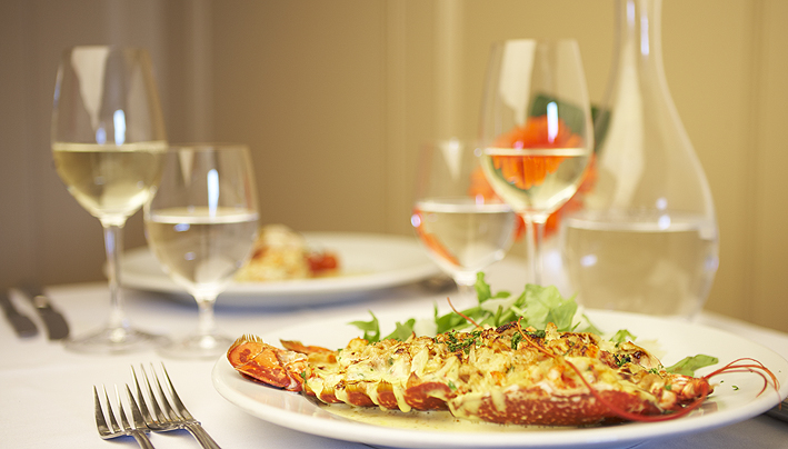
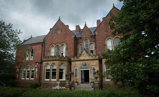


The Firs Guesthouse
The Firs is a spacious, family-run property located in the picturesque village of Runswick on…

Staithes
6.5 miles (10.4kms)
Staithes, clustered around the harbour and along the banks of the Roxby Beck, is one of the most attractive of the east coast villages. Its narrow streets, lined with cottages, climb steeply up the hillside. Look out for the occasional wearer of the traditional white cotton Staithes bonnet, originally worn by the women to protect their heads as they carried baskets of mussels from the beach. It was in Staithes that young James Cook – the future Captain Cook – was apprenticed to William Sanderson’s grocers’ merchants in the main street. The store was later destroyed in a great storm. The Captain Cook and Staithes Heritage Centre has a reconstruction of the street as it may have been in his time.
West of Staithes is Boulby Head, the highest cliffs on the east coast, rising to 660ft (201m). Nearby, and dominating views to the north of the village, is Boulby potash mine, the deepest in Europe. Its shafts descend 3,600ft (1,097m) and reach 5 miles (8km) out to sea. Morris men have performed the world’s deepest dance here and scientists use it to search for dark matter, said to make up 99 per cent of the universe.
The pretty village of Runswick Bay is at the foot of steep cliffs, and has been there since at least the 13th century. The original settlement was just north of the beck that runs out to sea here; all except one house was swept away in a storm in 1664, and the village was built on its current site. In the 19th century the village briefly had a blast furnace, but is now renowned for its fine sandy beach. Local legend claims that in a cave at the south end of the bay lived a hob, or goblin, that was said to be able to cure whooping cough. Mothers took their children to the cave to ask for its help.
From 1855 Port Mulgrave was an ironstone port. Its 3.5-acre (1.4ha) harbour cost the Mulgrave Ironstone Company £45,000 to build. Trucks ran along a gantry above the pier and tipped their load into bunkers before it was loaded on to ships – there was a tunnel under the cliffs through which the railway line ran. Many of the local cottages were built for the miners and the mine staff. The harbour remained in good condition until 1934, when the machinery was broken up and sold for scrap. During World War II, the breakwater was blown up so it couldn’t be used by an invader.
From the car park, walk past the entrance to the Business Centre and along a signed path next to allotments. The path winds round to a T-junction; turn right and almost immediately turn left. The path dog-legs right then left between back gardens, emerging onto a road. Turn right, going round Seaton Close and then right again towards a Co-op food store on the main road (A174).
Cross the road, bearing half right, to a gate by a signpost. After another gate, continue to cross the driveway to Seaton Hall. Descend, go over a stile and cross the stream by the road bridge to the left, signed ‘Hinderwell’. After the bridge, follow the waymarker left, bending right, uphill, past a gate and climb steeply. Pass two gates and go into woodland. By the yellow metal sign take the left fork, then go straight on, keeping along the narrow ridge. Just before a field, turn left then right, over a stile and turn left along the field edge.
After about 200yds (183m) turn left through a gate back into the woods. Descend steps, cross a footbridge and go uphill over two stiles. Cross the field on the track, then turn right after the gateway and go along a track, which bends left twice and eventually becomes a metalled road through houses to reach the main road by a petrol station.
Turn right, then left along a path just before the last bungalow. Go over a stile, through the field and over another stile onto a road. Turn right along the roadside footpath to Runswick Bay. (To see the view of the bay, go straight to the cliff top, then return). The walk continues on a signed footpath along the right side of the Runswick Bay Hotel, through its car park. Go through a kissing gate and along the edge of a field to reach the coast.
Bear left and walk along the Cleveland Way for a mile (1.6km). At a kissing gate near Port Mulgrave bend left (don’t go through the gate) and round the top of the valley to another gate. After it, bear right to continue along the coast road, which soon becomes a track.
Go along the coastal path, through a gate and descend towards Staithes. Go through two gates and into a fenced lane, which becomes a metalled lane by a farm. The path descends between a fence and a building, down into the village. Bear left by the Cod and Lobster Inn and walk up the High Street to return to the car park.
Field, woodland, coastal paths and tracks, 6 stiles
Farmland, woodland and fine coastline
Dogs should be on lead, except in woodland
OS Explorer OL27 North York Moors, Eastern Area
Bank Top Car park above village, signed off A174
Staithes and at Runswick Bay
Read our tips to look after yourself and the environment when following this walk.
North Yorkshire, with its two National Parks and two designated Areas of Outstanding Natural Beauty, is England’s largest county and one of the most rural. This is prime walking country, from the heather-clad heights of the North York Moors to the limestone country that is so typical of the Yorkshire Dales – a place of contrasts and discoveries, of history and legend.
The coastline offers its own treasures, from the fishing villages of Staithes and Robin Hood Bay to Scarborough, one time Regency spa and Victorian bathing resort. In the 1890s, the quaint but bustling town of Whitby provided inspiration for Bram Stoker, who set much of his novel, Dracula, in the town. Wizarding enthusiasts head to the village of Goathland, which is the setting for the Hogwarts Express stop at Hogsmeade station in the Harry Potter films.
York is a city of immense historical significance. It was capital of the British province under the Romans in AD 71, a Viking settlement in the 10th century, and in the Middle Ages its prosperity depended on the wool trade. Its city walls date from the 14th century and are among the finest in Europe. However, the gothic Minster, built between 1220 and 1470, is York’s crowning glory.
Discover more than 15,000 professionally rated places to stay, eat and visit from across the UK and Ireland.
Choose a place to stay safe in the knowledge that it has been expertly assessed by trained assessors.
Search by location or the type of place you're visiting to find your next ideal holiday experience.
Read our articles, city guides and recommended things to do for inspiration. We're here to help you explore the UK.