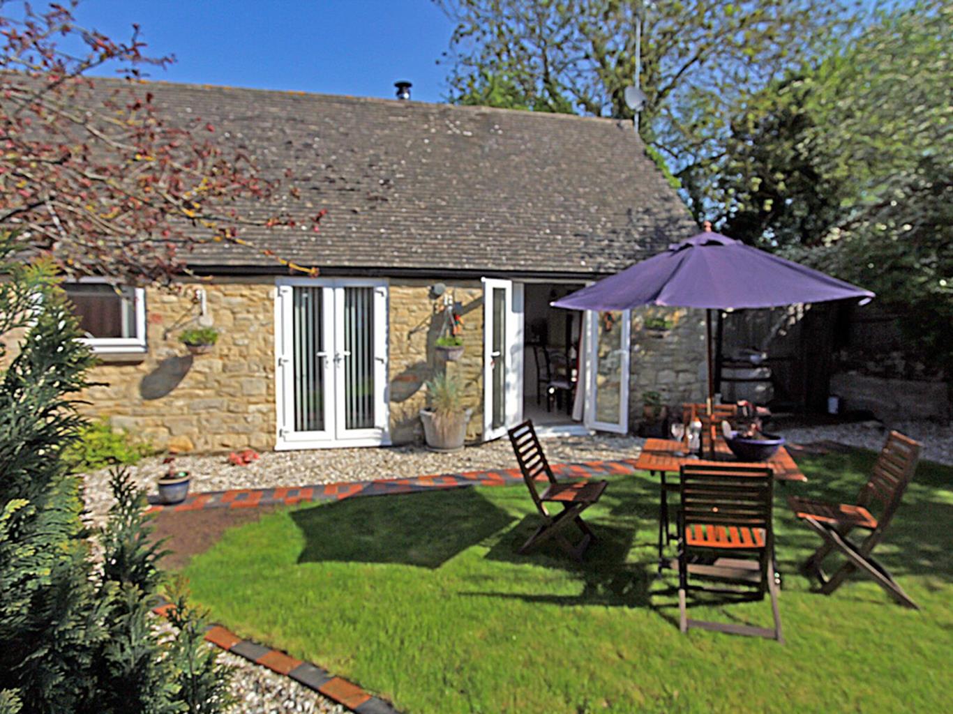
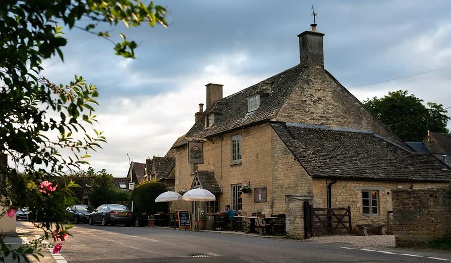


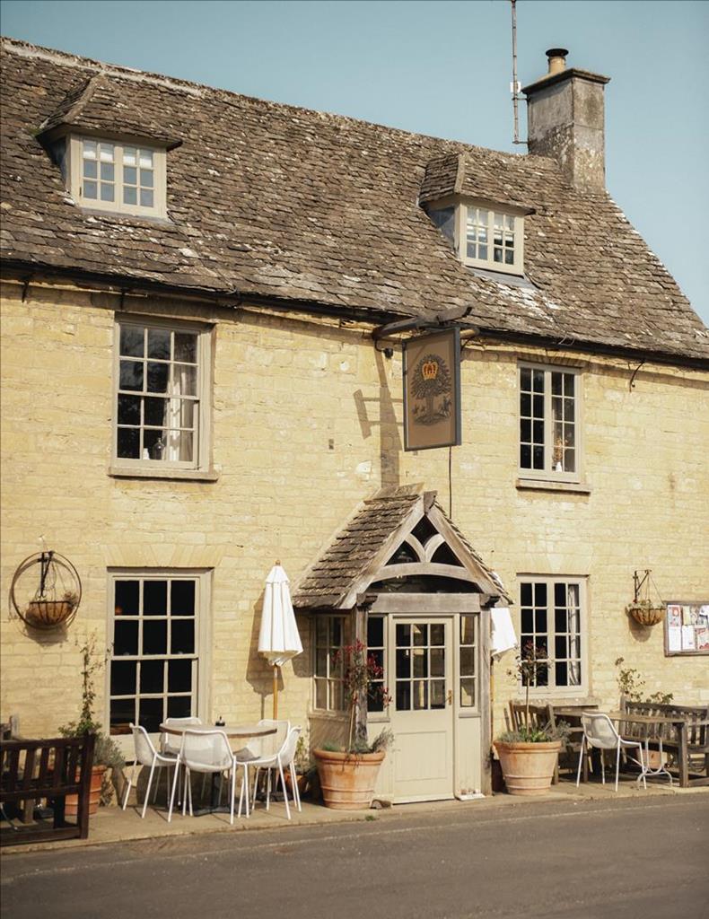
The Royal Oak
At the hub of a tranquil Cotswolds village. The Royal Oak offers 5 comfy and individually styled…

Stonesfield
3.5 miles (5.7kms)
Stonesfield is a hilly village closely associated with the tradition of slate mining. The stone is a type of Jurassic limestone known as ‘pendle’, and it has proved a rich source of fossils, including jaw bones from the Megalosaurus dinosaur. However, it’s a little-known fact outside Oxfordshire, that many of the stone roofing slates used in this part of the county come from Stonesfield, as do the slates of many of the older Oxford colleges, including Queen’s College and St Clare’s. The slate was reputedly the best, lightest and least porous of roofing materials, with the local stone pits and slate quarries dating mainly from the 16th century.
The village is known for a charming winter-time tradition dating back to when slate mining was the main industry in the area. When a sharp frost was expected, the church bells would toll, often in the middle of the night, reminding the residents of Stonesfield of the need to ensure that the stone was immediately uncovered and exposed to the elements. This was not part of some bizzare rural custom. There was method in their madness. When the villagers rose from their beds in the morning, they would discover that the freezing temperature had split the stone neatly into layers which could then be sculpted into slates.
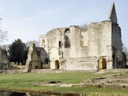
The Romans, who constructed several villas near Stonesfield during their occupation, probably also quarried stone in the district.
The village has expanded hugely over the years but the centre of Stonesfield, in the vicinity of the church, still has a charm and character, retaining a hint of the past in its nooks and narrow lanes. The church itself, dedicated to St James the Great, dates back to the 13th century, although it has been much altered over the years. Even the louvres in the square bell tower are fashioned from the local slate stone.
The last pit at Stonesfield closed before World War I, and the last slate miner died in the 1940s. Today, the inhabitants of the village earn their living in other ways, many of them working in nearby Oxford. Demand for replacement slates is now met using materials from demolished buildings.
The steep slopes to the southwest of Stonesfield village – comprising Stonesfield Common, Stockey Bottom and Bagg’s Bottom – are today protected as Sites of Special Scientific Interest, particularly rich in grassland flora and scrub habitats that have been largely lost elsewhere in Oxfordshire. The woodland includes wych elm (also known as wychwood), a tree species with a tight grain and resistance to water-penetration that was once favoured for coffin-building, as well as keel-making and turned furniture.
With the church over to the right, leave Stonesfield by heading south down Church Street. Pass rows of houses and, when the road turns sharp right at Churchfields, go straight on into Brook Lane. Follow the unmade road, pass a turning to the Rectory on the right and lines of bungalows on the left and continue down a track towards the River Evenlode. Ahead of you are glimpses of a rolling, wooded landscape in the valley. Descend a series of steps, following the sunken path to the river bank.
Cross the river via the footbridge, cross a stile at the other side and keep heading south, following the bridleway across the fields. The Evenlode can be seen over to the right, snaking through the countryside. Pass through a gate and then turn immediately right to follow a waymarked path alongside the river. The walk cuts through margins of vegetation and undergrowth before the outline of a railway bridge looms into view ahead. Pass under the bridge and follow the path as it runs close to the water’s edge. In places, the boughs of the trees reach down to touch the surface of the Evenlode. Beech trees line the bank along here, and soon the river sweeps away to the right.
On reaching the road, continue ahead to the junction and turn right for Stonesfield. Cross the Evenlode and pass some roadside dwellings. Pass over the railway line, then turn immediately left for Fawler and Charlbury. Follow this road for about 0.5 miles (800m). Further on, a curtain of woodland can be seen in the distance, draped spectacularly across the valley – one of many scenic highlights on this walk.
Turn right by a stone house and head up the track towards the stone outbuildings of Oaklands Farm. Keep right at the buildings, following the track round the east side of the farm. Head north on the track, across open country, with views of Stonesfield in the distance. The track bends right before passing a big old beech tree. Soon you reach the road.
Turn left and then right by some stone barns and industrial units. Continue along the lane into Stonesfield, keeping right at the next junction. In a few paces take the arrowed footpath right and follow the narrow metalled path uphill between cottages to a road opposite the Methodist church. Take the road ahead and walk along High Street. Soon you reach the church where the walk began.
Riverside path, tracks and roads (can be busy), several stiles
Undulating country bisected by River Evenlode
On lead in Stonesfield and along road on return leg
OS Explorer 180 Oxford, Witney & Woodstock
Spaces in village centre
None on route
Read our tips to look after yourself and the environment when following this walk.
Located at the heart of England, Oxfordshire enjoys a rich heritage and surprisingly varied scenery. Its landscape encompasses open chalk downland and glorious beechwoods, picturesque rivers and attractive villages set in peaceful farmland. The countryside in the northwest of Oxfordshire seems isolated by comparison, more redolent of the north of England, with its broad views, undulating landscape and dry-stone walls. The sleepy backwaters of Abingdon, Wallingford, Wantage, Watlington and Witney reveal how Oxfordshire’s old towns evolved over the centuries, while Oxford’s imposing streets reflect the beauty and elegance of ‘that sweet city with her dreaming spires.’ Fans of the fictional sleuth Inspector Morse will recognise many Oxford landmarks described in the books and used in the television series.
The county demonstrates how the strong influence of humans has shaped this part of England over the centuries. The Romans built villas in the pretty river valleys that thread their way through Oxfordshire, the Saxons constructed royal palaces here, and the Normans left an impressive legacy of castles and churches. The philanthropic wool merchants made their mark too, and many of their fine buildings serve as a long-lasting testimony to what they did for the good of the local community.
Discover more than 15,000 professionally rated places to stay, eat and visit from across the UK and Ireland.
Choose a place to stay safe in the knowledge that it has been expertly assessed by trained assessors.
Search by location or the type of place you're visiting to find your next ideal holiday experience.
Read our articles, city guides and recommended things to do for inspiration. We're here to help you explore the UK.