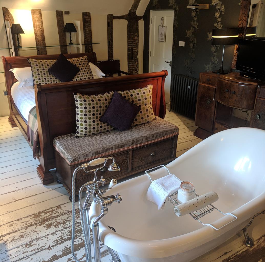

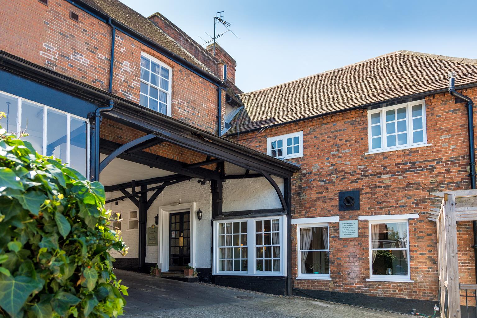
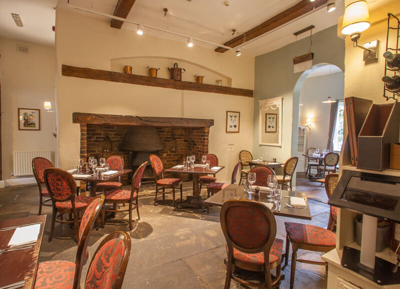

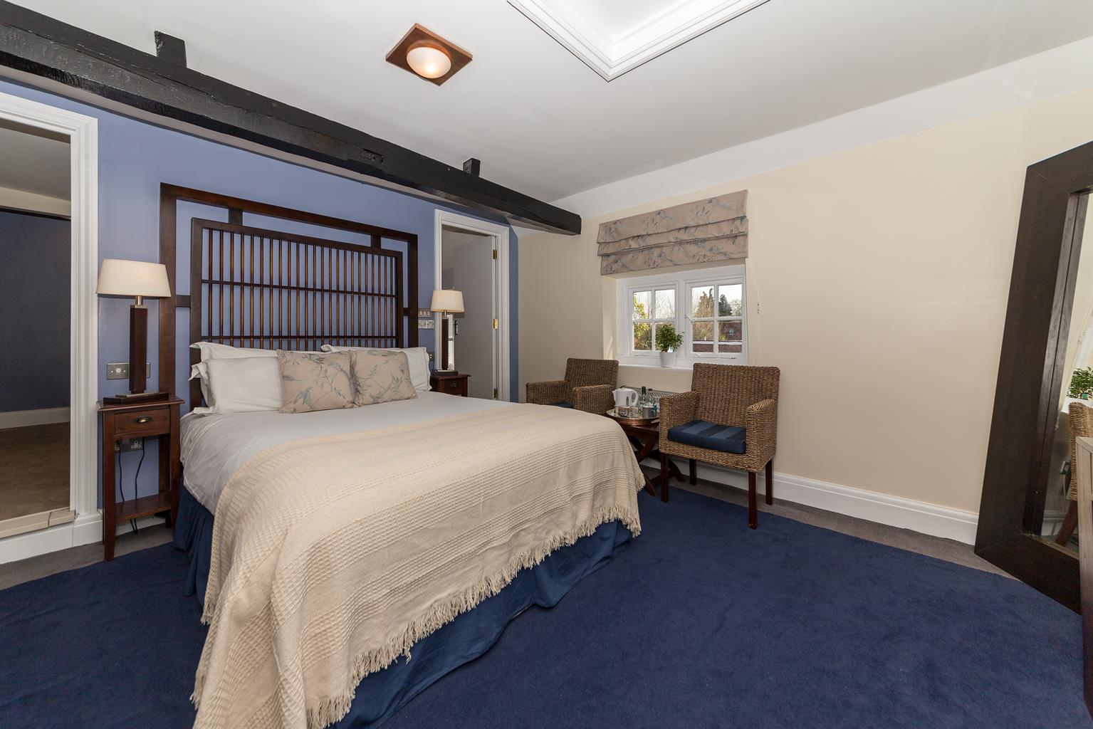
The White Hart
Parts of the White Hart date back to the 13th century, but most of it is from the 17th century.…

Tewin
6 miles (9.7kms)
Tewin, on a ridge to the north of the River Mimram, probably had its origins in pagan Anglo-Saxon times before AD 600 – the 'Tew' element in the name relates to Tiw, a pagan god. The village has two greens but the bulk of development has taken place around the Lower Green. The Upper Green is now mainly a sports field and Tewin can trace more than 200 years of cricketing history. Like most Hertfordshire villages, there was no piped water in Tewin until well into the 20th century. On Lower Green you'll find an old well-house, which was converted into a bus shelter in the 1950s.
Around Lower Green are estate cottages with the 'C' of the landowner Earl Cowper above their dates. One group was built in 1903 and a large memorial hall dates from around 1920. The parish church is out on its own at the end of the ridge with pasture descending to the Mimram valley. To the west of the church stood Tewin House. This was rebuilt around 1717 by General Joseph Sabine, a veteran of the Duke of Marlborough's campaigns against the French who later became Governor of Gibraltar. George I is said to have visited twice, simply to admire the hallway. Sabine died in 1739 and in the church you'll find a superb monument to him, dressed in the costume of a Roman general. Tewin House was pulled down by the 5th Earl Cowper in 1807. It is claimed that he salvaged nearly one million bricks from the site, and now only stretches of the garden wall survive. The Earl married the daughter of Prime Minister, Lord Melbourne. After the Earl's death, she married again, this time the Foreign Secretary, Lord Palmerston. Further east, another house took advantage of this picturesque landscape at Marden Hill. Here a 1650s mansion was pulled down in the 1780s and a new one built. This in turn was altered by the great Sir John Soane.
En route to Bramfield you pass along the edge of Park Wood, certainly a hunting park by 1294. Bramfieldbury, built around 1500, is on its southern margin (hidden behind dense hedges). Like Tewin, Bramfield has many Victorian estate buildings. The shop and post office are in a thatched cottage, which was once the village school. On the green is another well-house, this one was converted into a bus shelter in 1953. But it's after Bramfield that you encounter the greatest building on this route. Queen Hoo Hall is a near-perfect, late-Elizabethan brick house standing on the ridge ahead with splendid views south. It was built by John Smyth between 1584 and 1589, probably as a hunting lodge. By the end of the 19th century it had become two labourers cottages, but was restored in 1903, and it's worth walking many miles to see such a perfect small mansion.
From Lower Green turn left into School Lane, then right at a footpath sign to Digswell. Across some arable fields a track merges from the right. Ignore a footpath crossroads, going next left into a lane. Turn left at a junction and shortly go right to the isolated St Peter's Church.
From the churchyard descend left to the valley floor and turn right at a fingerpost. The path bears right and then you turn left on to a track. Where it veers left carry straight on, along a field-edge to merge with a lane. Keep on this lane to the River Mimram bridge.
Across the bridge climb a stile on the left to a permissive path in water-meadows alongside the Mimram. At a single-arch bridge cross the river and leave the water-meadows via a kissing gate.
NB: If the permissive path by the water-meadows is closed, walk for a few paces and turn left along the grassy verge of the B1000 for 0.25 miles (400m) and turn left at a footpath sign.
Go straight across the farmland to enter a scrub belt, becoming parkland to Marden Hill. Cross a lime avenue (look left to the mansion) then follow a drive to the road.
Across the road walk alongside some oak woods. Where the track curves right go through a gate into paddocks and out diagonally left via a kissing gate. Cross more cultivated ground to reach a track. Turn left and follow this past the remains of Westend Farm to the hornbeams of Park Wood and turn right along its edge.
The path jinks out to pass Bramfieldbury (not visible), then cuts across fields to its access lane. Follow this into Bramfield and turn right to St Andrew's Church.
From Bramfield churchyard turn right into the recreation ground and then left to retrace your steps past the village hall to the valley floor. Here, turn right, signposted 'Beal's Wood'. Cross arable ground to the corner of the wood. The path goes through the woods with occasional waymarker posts. Go across several footbridges and bear right at a waymarker to pass alongside pheasant enclosures. Turn right at the next track T-junction. At a pole barrier go right and emerge from the woods on to a track across more cultivated land.
Pass the superb 1580s Queen Hoo Hall. At the lane turn left and follow a winding lane down Tewin Hill into Tewin.
At the main road turn right. Pass the Plume of Feathers pub to Upper Green, and go left to walk along the edge of the green to a footpath behind scrub. Pass a pond to a metalled green lane and follow this, eventually curving left back to Lower Green.
Bridleways and lanes
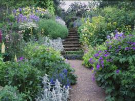
Rolling chalkland and woodland
Tewin Hill has horse paddocks on both sides connected with livery stables
OS Explorer 182 St Albans & Hatfield
On roadside around Lower Green, Tewin, opposite Tewin Memorial Hall
None on route
Read our tips to look after yourself and the environment when following this walk.
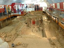
As Hertfordshire is so close to London, many of its towns have become commuter havens. St Albans, less than 19 miles (30km) from the capital, has retained its distinctive character, along with many historic remains. The Roman city of Verulamium is situated in a nearby park, and excavations have revealed an amphitheatre, a temple, parts of the city walls and some house foundations. There are also some amazing mosaic pavements.
The abbey church at St Albans is thought to have been built on the same site where St Alban met his martyrdom in the 3rd century. The abbey was founded in 793 by King Offa of Mercia, and contains the saint’s shrine, made of Purbeck marble. Lost for years, it was discovered in the 19th century, in pieces, and restored by the designer of the red telephone box, Sir Giles Gilbert Scott. The abbey also contains some wonderful medieval wall paintings. Nicholas Breakspear was born in St Albans, the son of an abbey tenant. In 1154 he took the name Adrian IV, and became the first, and so far only, English pope. Another famous son of Hertfordshire was Sir Francis Bacon, Elizabethan scholar and Lord High Chancellor, born in Hemel Hempstead in 1561.
Discover more than 15,000 professionally rated places to stay, eat and visit from across the UK and Ireland.
Choose a place to stay safe in the knowledge that it has been expertly assessed by trained assessors.
Search by location or the type of place you're visiting to find your next ideal holiday experience.
Read our articles, city guides and recommended things to do for inspiration. We're here to help you explore the UK.