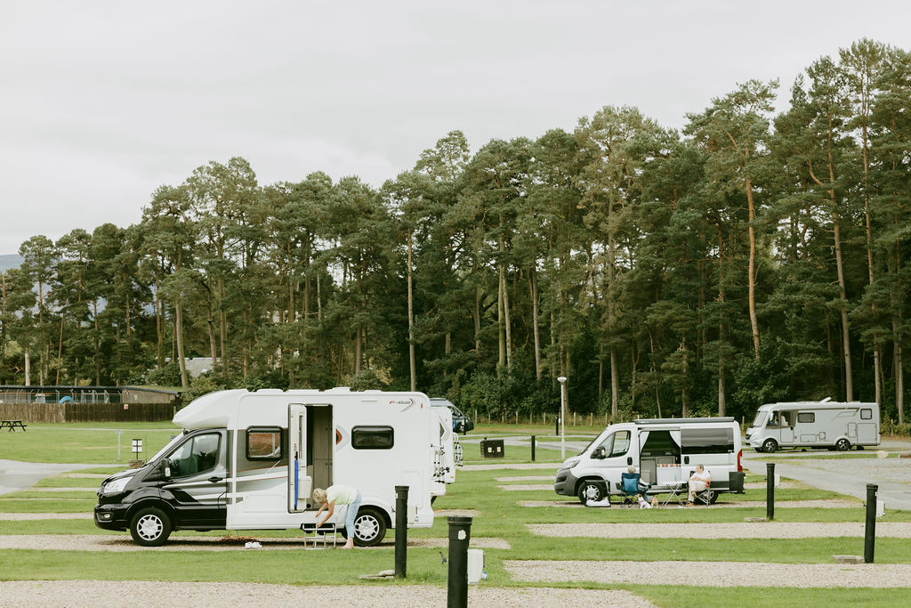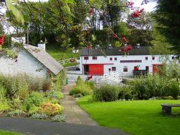
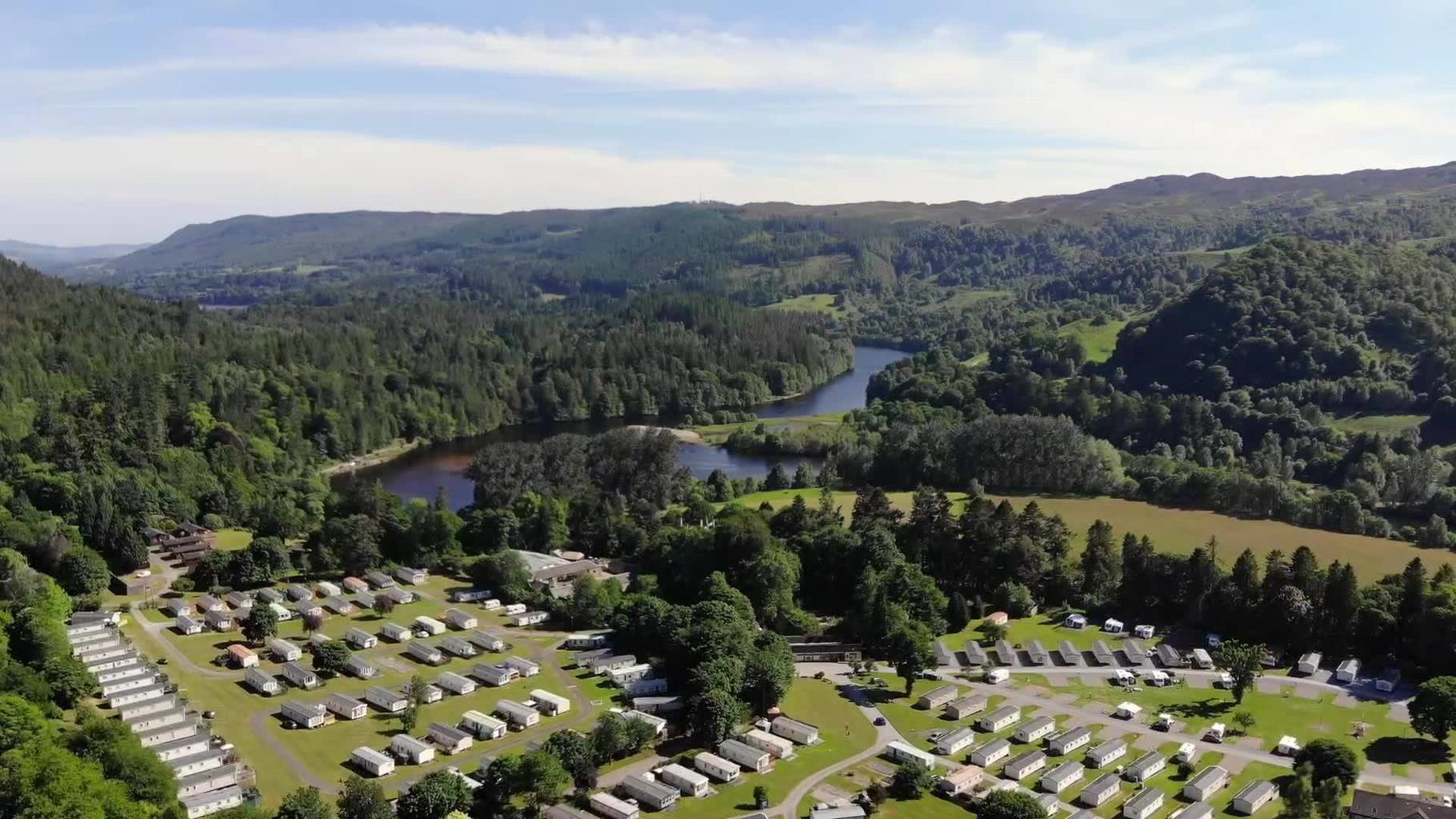
Faskally Caravan Park
A large park near Pitlochry, which is divided into smaller areas by mature trees and set within…

A deeply wooded riverside leads from the famous battlefield to Loch Faskally.
Loch Faskally
8.75 miles (14.1kms)
Ye wouldna been sae swanky o
If ye'd hae seen where I hae seen
On the braes o' Killiecrankie o'
The song commemorating the victory of the Battle of Killiecrankie in 1689 is still sung in many a pub full of patriotic tourists, despite the fact that both sides in the battle were Scots. When James II was ousted from England in a bloodless coup in 1688, the Scots Parliament (the Estates) voted to replace him with William of Orange. The Stuarts had neglected and mismanaged Scotland, and had mounted a bloody persecution of the fundamentalist Protestants (Covenanters) of the Southern Uplands.
John Claverhouse, 'Bonnie Dundee', had earned the nickname 'Bluidy Clavers' in those persecutions. He now raised a small army of highlanders in support of King James. The Estates sent a larger army north under another Highlander, General Hugh Mackay. Dundee, outnumbered two to one, was urged to ambush Mackay in the Pass of Killiecrankie but refused, on the grounds of chivalry. The path above the river was steep, muddy and wide enough for only two soldiers; a surprise attack on this ground would give his broadsword-wielding Highlanders too great an advantage against Mackay's inexperienced troops. Just one of the Lowlanders was picked off by an Atholl sharpshooter at the Trouper's Den (below today's visitor centre), and the battle took place on open ground, north of the pass.
Killiecrankie was the last time the claymore conquered the musket in open battle, due to a deficiency in the musket. Some 900 of the 2,500 Highlanders were shot down as they charged, but then the troopers had to stop to fix their bayonets, which plugged into the muzzle of the musket. By this time the Highlanders were upon them, and they broke and fled. The battle lasted just three minutes. Half of Mackay's army was killed, wounded, captured or drowned in the Garry. One escaped by leaping 18ft (5.5m) across the river: the 'Soldier's Leap'. Dundee himself died in the battle. A month later his army was defeated at Dunkeld, and 25 years later, when the Highlanders next brought their claymores south for the Stuarts, the troupers had learnt to fix a bayonet to the side of a musket where it didn't block the barrel.
From the back corner of the visitor centre, steps signed 'Soldier's Leap', lead down into the wooded gorge. A footbridge crosses the waterfall of Trouper's Den. At the next junction, turn left ('Soldier's Leap'). Down 10 earth steps, a spur path on the right leads to the viewpoint above the Soldier's Leap.
Return to the main path, signed 'Linn of Tummel', which runs down to the River Garry below the viaduct. After 1 mile (1.6km), it reaches a green footbridge.
Don't cross this footbridge, but continue ahead, signed 'Pitlochry', along the riverside under the tall Garry road bridge. The path bears left to a footbridge. Cross and turn right, signed 'Pitlochry', back to the main river. The path runs around a huge river pool to a tarred lane; turn right here. The lane leaves the lochside, then passes a track on the right, blocked by a locked gate. Ignore this track but shortly afterwards turn right at another signpost to Pitlochry.
Immediately bear left along the right-hand side of Loch Dunmore, following red-top posts. As you pass (without crossing) the footbridge across the loch, fork off right, on to a small path that becomes a dirt track. After 270yds (246m) it reaches a track junction. Turn down left, with a white waymarker. After 220yds (201m), the track starts to climb and the white markers indicate a smaller path on the right which follows the lochside to a point below the A9 road bridge.
Cross Loch Faskally on the Clunie footbridge below the road's bridge and turn right, on a quiet road around the loch. In 1 mile (1.6km), at the top of the grass bank on the left, is the Priest Stone. After you pass the Clunie power station, you reach a car park on the left. Here a sign indicates a steep little path down to the Linn of Tummel.
Return to the road above for 0.5 miles (800m). A path down right, signed for Garry Bridge, crosses the grey Coronation Bridge. Turn right, downstream, to pass above the Linn. A spur path back right returns to the falls at a lower level, but the main path bends left to arrive above the River Garry. It goes down metal steps (dogs on leads here) to the riverbank, then continues upstream and under the high road bridge. Take the side-path up to the bridge for the view of the river, then return to follow the main path upstream. This runs down to the green footbridge, passed earlier on the walk. Return upstream to the start.
Wide riverside paths, minor road
Oakwoods on banks of two rivers
Off lead on riverside paths
OS Explorer 386 Pitlochry & Loch Tummel
Killiecrankie Visitor Centre
At start and near Loch Dunmore
Read our tips to look after yourself and the environment when following this walk.
Perth and Kinross, sheltered by the Grampian Mountains, is often regarded as the Heart of Scotland, and its mountains, lochs and glens yearn to be explored. Just outside the ancient city of Perth is Scone Palace, home of the mystical Stone of Destiny, on which 42 Scottish Kings were crowned. Not far south-west lies the world-famous Gleneagles Hotel.
The Tay Valley is one of the region’s most scenic features, with its popular holiday resorts of Pitlochry and Blair Atholl, while Rannoch Moor is a magnificent wilderness that represents one of Scotland’s great walking experiences. The long and beautiful hidden valley of Glen Lyon lies sandwiched in the mountains between Loch Tay and Loch Rannoch, separated from Loch Rannoch by the broad summit of Carn Mairg. Said to be the longest glen in Scotland, it exhibits an enormous diversity of scenery.
In recent years Perth has developed as Scotland’s adventure capital, with an ever-longer list of adventure sports and activities to take you out and about across the region. So, if the more traditional sports seem tame, you can get your adrenaline rush by quad biking, off-road driving, abseiling, canoeing, waterskiing, cliff jumping, white-water rafting or even paintballing.
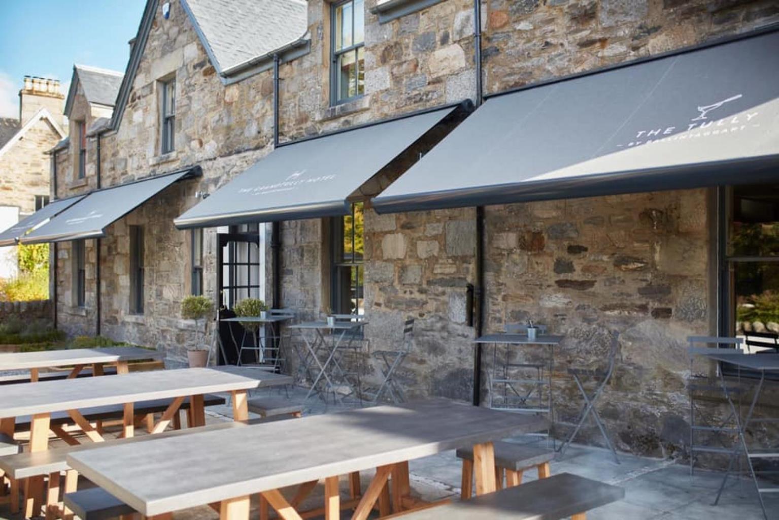
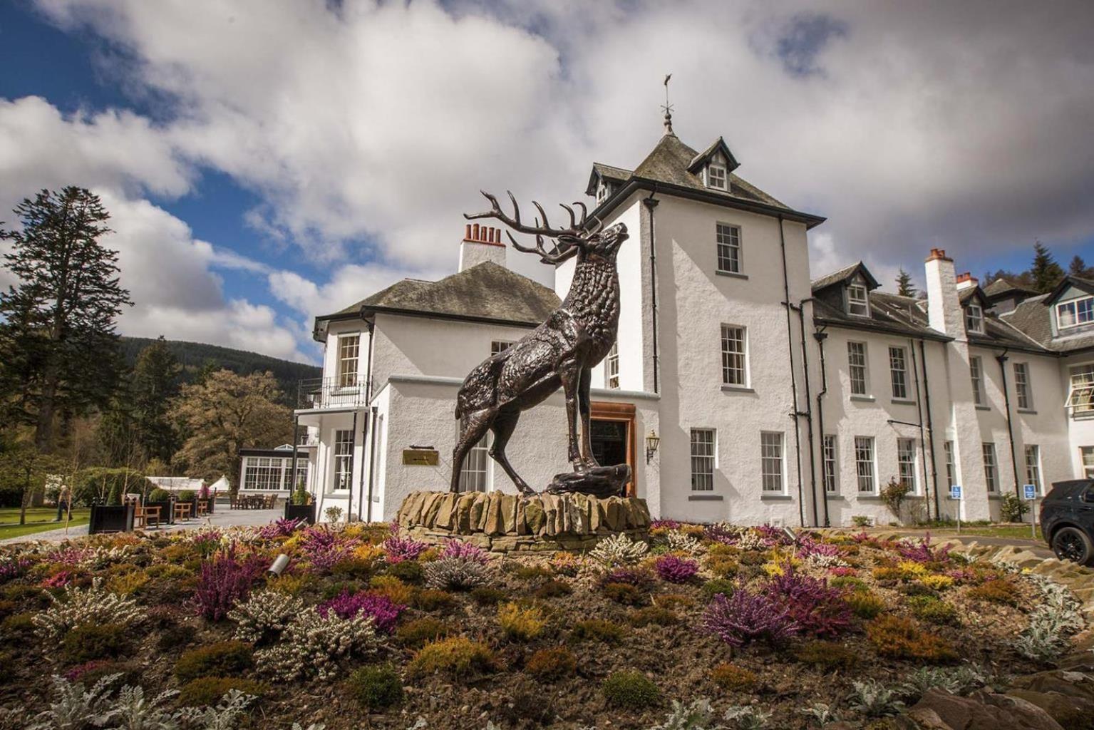
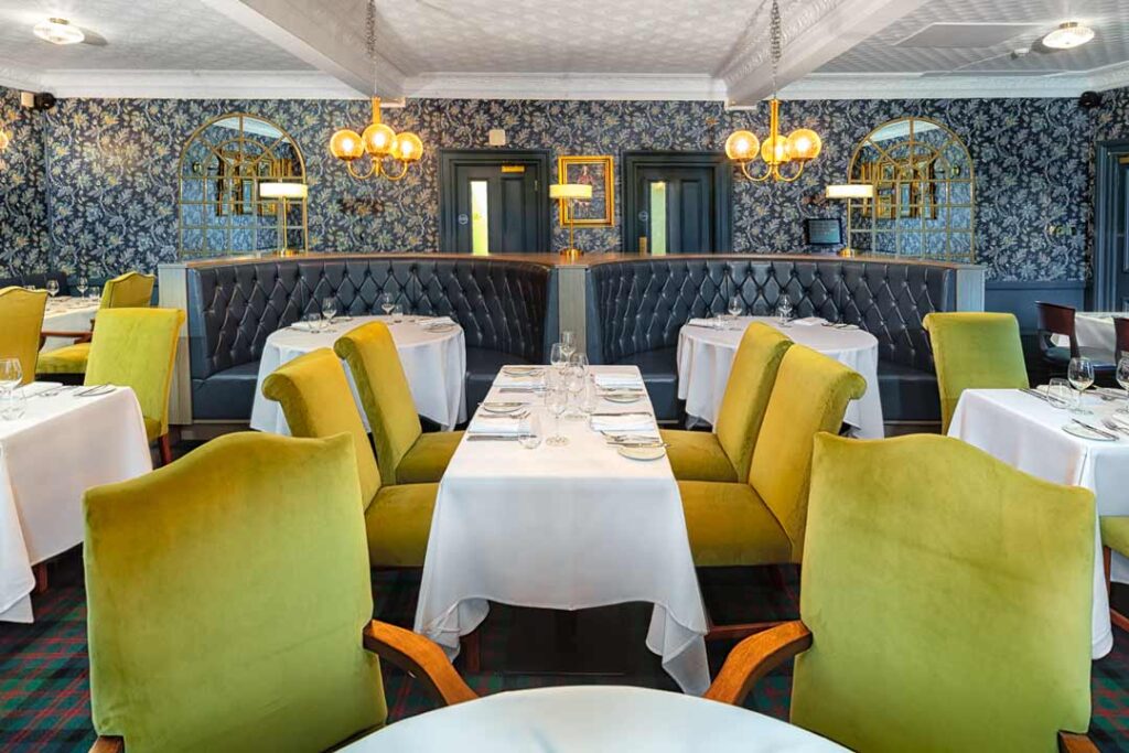
Discover more than 15,000 professionally rated places to stay, eat and visit from across the UK and Ireland.
Choose a place to stay safe in the knowledge that it has been expertly assessed by trained assessors.
Search by location or the type of place you're visiting to find your next ideal holiday experience.
Read our articles, city guides and recommended things to do for inspiration. We're here to help you explore the UK.