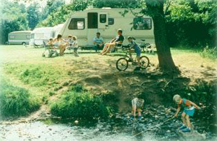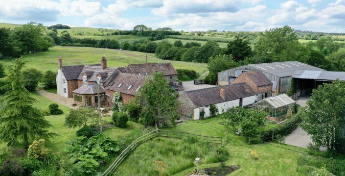


YHA Bridges Long Mynd
The tranquil retreat of YHA Bridges has been described as one of the last remaining rural idylls…

Stiperstones
4.8 miles (7.8kms)
Good things come in small packages, they say, and this short walk certainly bears out the saying. There’s a wealth of history around The Bog – although the name is, admittedly, unenticing. But if the weather’s good when you arrive, you might want to save that till later and get straight on with the walk, as Stiperstones on a clear day is irresistible. There’s an air of wildness about the broad ridge with its abrupt, jagged outcrops, and perhaps an atmosphere of mystery, too. As Shropshire’s second-highest point, and well to the west of the county’s other main hills, it’s no surprise that Stiperstones has far-reaching views, especially into Wales.
As the highest point of all, Manstone Rock is the best place to take in the full 360-degree view. However, it takes a bit of scrambling to reach the crest. The easiest route starts on the west side, but it needs care and a modicum of agility by any route. There’s not much room around the trig pillar on the summit, so you may have to take turns too. Of course all this is entirely optional and you can get much the same views from elsewhere along the ridge – though even here, the paths are so rough that walking and gazing at the same time can be slightly tricky! If you want to flex your scrambling muscles beforehand, the ascent of Nipstone Rock is considerably easier.
While the heights of Stiperstones are quartzite, the western flank, and specifically the area around The Bog, is composed of rocks known as the Mytton Flags (Mytton Dingle is a little to the north, east of Stiperstones village). These contained some rich veins of lead, which were first mined commercially in the 1730s. A tunnel, known as the Boat Level, was dug to drain the mines, thereby making The Bog rather less boggy too. Vertical and inclined shafts reached down to over 1,200ft (366m). Lead-mining ceased late in the 19th century, but another mineral, barytes, was extracted until 1922.
Lead, of course, is highly toxic, and the spoil from the mines still contained enough lead to make it inhospitable to most plant species. Even today, well over 100 years after lead-mining ceased, the area around the mine still has an unusually bare appearance. The presence of lead also means, however, that the area is not tempting for agriculture and gradually it has become an important haven for wildlife.
Walk down the road towards The Bog Visitor Centre. Turn sharp left before reaching it and walk past The Bog Mine. Bear right at a footpath sign and follow a pleasant level track. Note, however, that its far end can be quite muddy after a wet spell, in which case it can be avoided by walking along the lane instead.
Keep straight on along the track to a crossing track: go straight ahead again (waymark) on a smaller path to the end of a wood. Go over a stile on the left and up to the top left corner of the field to find a gate and stile onto a lane. Turn left for 200yds (183m) then turn right into Nipstone car park.
Follow a track through two gates then go right, over a stile. Take a rough little path through bracken, heather and bilberry, passing to the left of the first outcrop then bending right behind it. If you want to scramble up Nipstone Rock it's easiest at the far end, otherwise just bear left to a broader track along the ridge and turn left.
Cross a stile and recross the track from the car park. Continue, now following Shropshire Way signs, through a plantation then on in the same line across a large field to a road. Go straight across through a couple of gates to a National Nature Reserve (NNR) sign. Follow the waymarked footpath up the broad ridge. When Cranberry Rock comes into view, the paths begin to multiply, but the easiest and widest one keeps to its right.
Continue climbing to reach Manstone Rock with its prominent trig pillar. Continue north along the almost-level but still very rough ridge path to the Devil's Chair, arguably the most impressive of the Stiperstones outcrops and the one whose summit is hardest to reach.
Descend gradually to a cross-tracks with a cairn and waymark post. Turn left on a smoother bridleway. Pass a small covered reservoir then turn left on another good track along the edge of the NNR. This climbs slightly then gently descends. After two gates, reach another NNR sign by a third.
Beyond this the track becomes narrower and greener but is still easy to follow. Descend more steeply then swing right and down to a gate. Turn left a few paces to a lane. Follow this down to the car park, or use the permissive bridleway just the other side of the fence for the first bit.
Clear paths throughout, but some are extremely rocky, 4 stiles
High moorland with rocky outcrops flanked by rough pasture
Dogs must be on leads at all times in the Nature Reserve
OS Explorer 216 Welshpool & Montgomery
Large parking area above The Bog Mine
At The Bog Visitor Centre during opening hours
<p>Some optional scrambling required to reach the top of outcrops.</p>
Read our tips to look after yourself and the environment when following this walk.
Perhaps nowhere else in England will you find a county so deeply rural and with so much variety as Shropshire. Choose a clear day, climb to the top of The Wrekin, and look down on that ‘land of lost content’ so wistfully evoked by A E Housman. Peer through your binoculars and trace the course of Britain’s longest river as the Severn sweeps through the county, from the Breidden Hills to Wyre Forest, slicing Shropshire in two. To the north is a patchwork of dairy fields, hedgerows, copses and crops, broken at intervals by rugged sandstone ridges such as Grinshill or Nesscliffe, and dissected by a complex network of canals.
Spilling over the border into neighbouring Cheshire and North Wales is the unique meres and mosses country, with serenely smooth lakes glinting silver, interspersed with russet-tinged expanses of alder-fringed peat bog, where only the cry of the curlew disturbs the silence. South of the Severn lies the Shropshire Hills AONB. It’s only when you walk Wenlock Edge that you fully discover what a magical place it is – glorious woods and unexpectedly steep slopes plunge to innumerable secret valleys, meadows, streams and farmhouses, all tucked away, invisible from the outside world.
Discover more than 15,000 professionally rated places to stay, eat and visit from across the UK and Ireland.
Choose a place to stay safe in the knowledge that it has been expertly assessed by trained assessors.
Search by location or the type of place you're visiting to find your next ideal holiday experience.
Read our articles, city guides and recommended things to do for inspiration. We're here to help you explore the UK.