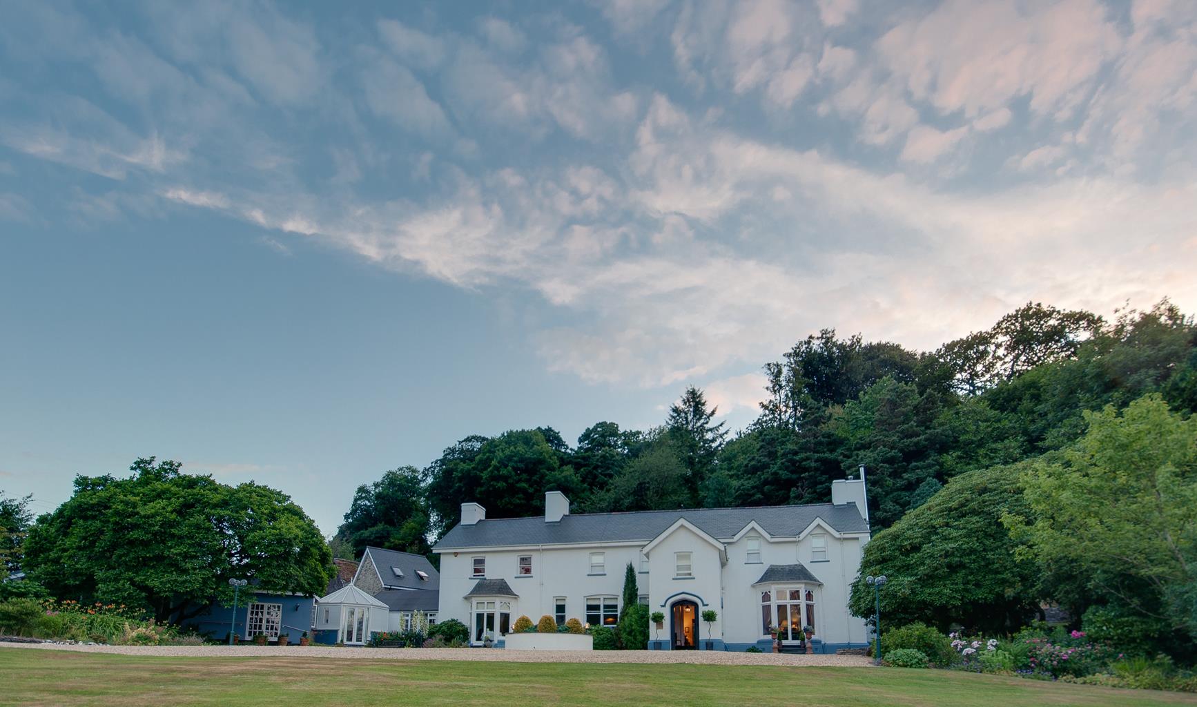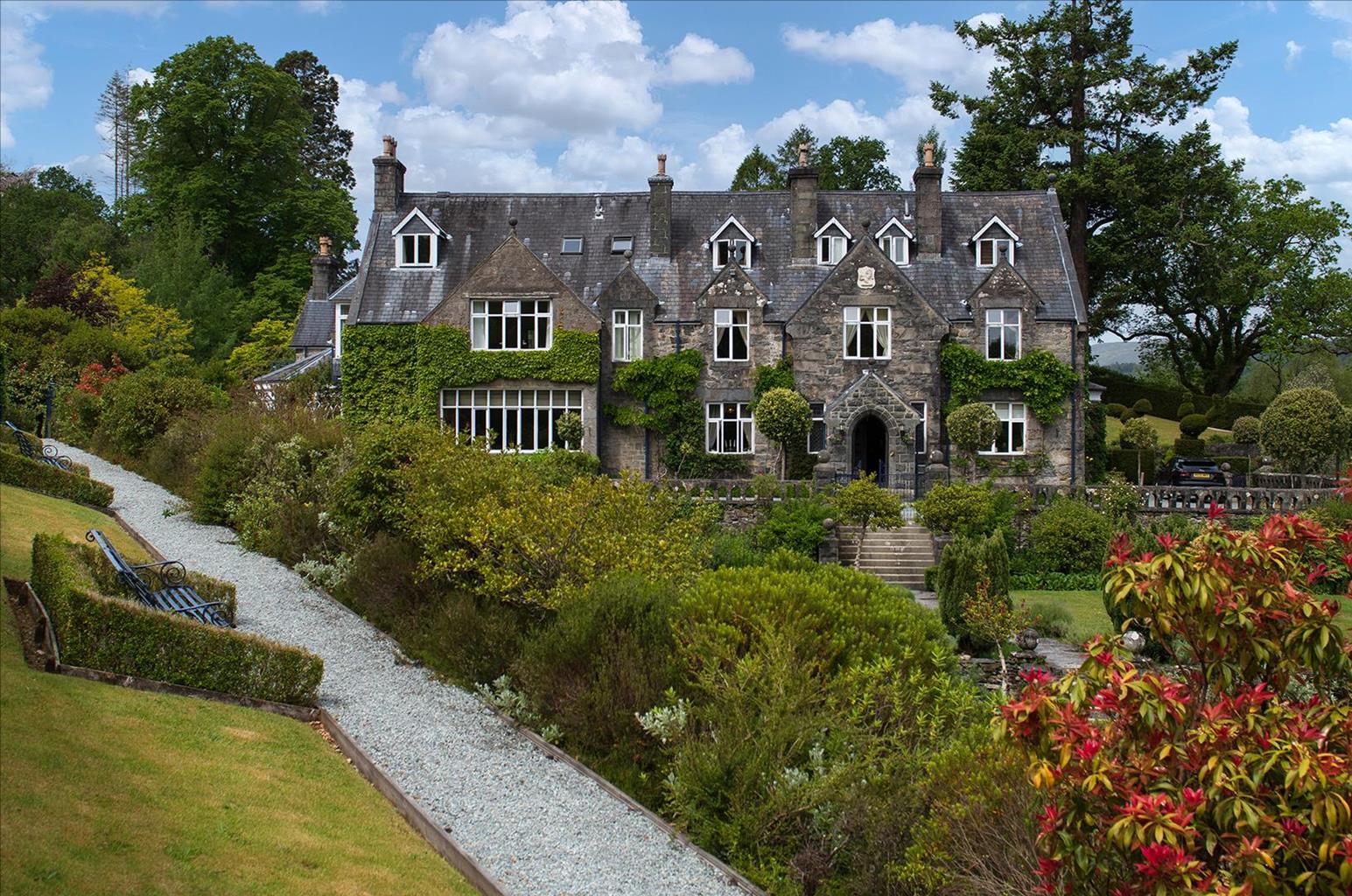

Ynysymaengwyn Caravan Park
A lovely park set in the wooded grounds of a former manor house, with designated nature trails…

Dysynni Valley
5 miles (8kms)
Abergynolwyn lies in the emerald valley of the Dysynni and beneath the great spruce woods of the Dyfi Forest. It’s a village built out of Welsh slate and from the proceeds of that slate. However, this walk heads northwards for the rolling green hills and the delectable oak woods of Coed Cedris that cloak their lower slopes. At the top of these woods you’re transported into a high cwm. The Nant yr Eira trickles out from the rushes, but by the time you’re descending into the Valley of the Cadair, it’s splashing and cascading through its own shady ravine.
Through more woodland, you come to the valley bottom at Llanfihangely-pennant, where there’s an attractive stone-built chapel that dates back to the 12th century. These days it’s dedicated to Mary Jones, a poor weaver’s daughter of the 18th century. As a 15-year-old she decided she wanted a Welsh-language bible of her own. Though she had no shoes to wear, Mary made her way across the hills to Bala, some 30 miles (48km) away, where she had heard that some were available.
Unfortunately for Mary, the Revd Thomas Charles had none left to sell but, touched by her persistence, he gave her his own copy. Charles was very impressed by Mary’s tenacity and it inspired him to consider the needs of Christians around the world who couldn’t read the bible in their own language. Along with several like-minded evangelicals, in 1804 he founded a group called the British and Foreign Bible Society. As well as bibles in Welsh, one of the first they produced was in Mohawk. Mary’s cottage, Tyn-y-ddôl, and a monument to her, can be found a short way north up the road.
The main route heads in the opposite direction. Here the Afon Cadair has formed a wide, flat valley. In the middle of the plains, perched on a great crag, are the ruins of a true Welsh fortress, Castell y Bere. Built in the early 13th century by Llewelyn the Great, it held out longer than any other when Edward I and his armies invaded Wales. By this time Llewelyn ap Grufydd had become Prince of Wales, but had been killed at Builth, leaving his brother Dafydd to defend the castle. Dafydd fought long and hard but was defeated in 1283. He escaped capture for a while and hid out on the slopes of Cadair Idris. Eventually he was betrayed by his own people and was dragged to Shrewsbury where he was brutally hung, drawn and quartered. So Wales was defeated and the castle laid waste.
The path continues along the now peaceful pastures of this pleasant valley to meet the Dysynni, which has wriggled through a narrow defile between two hills. The winding green track that squeezes through with it is one of the finest in North Wales; you’re almost disappointed to get back to Abergynolwyn so soon.
Cross the road and take the paved lane straight ahead signposted to Llanegryn. At the far side of the bridge spanning the Dysynni river, turn right through a kissing gate and trace above the north banks. At a metal gate the path turns left to follow the public footpath sign uphill and through another two gates, before climbing steps alongside some tall leylandii to reach a country lane.
Turn right along the lane which heads east through the Dysynni Valley and beneath the woodlands of Coed Meriafel. At the junction with the B4405 turn left over a ladder stile, and climb northwest across a field. Continue over two more stiles to a woodland path. Follow this to reach a forestry track near the top of the woods.
Turn left along the track, which climbs out of the woods before veering right to a gate and adjacent stile, giving entry into a large field. Go straight ahead to pick up a ruined overgrown wall. Where this ends, bear left to descend a high grassy cwm with a stream developing just to your left. Walk down to a ladder stile by a gate and cross it, with a ruin to the right. Stay ahead on the grassy path for 50yds (46m), then bear right on a short path to ford a stream by a smaller ruin. Walk ahead on the grassy path across the field to a stile by a gate into another field. Continue ahead to cross another stile.
The green path develops a flinted surface. Cross a ladder stile and leave the track where it starts to climb and bear left for a rough streamside path. Ignore a stile and bridge on the left and continue ahead on the (often challenging) path. Ignore a right-hand fork and descend through woodland to a stile. Cross it and walk along the left edge of the field, continuing on the stream-side path to eventually descend to a metal gate by a ruin. Cross, and follow the short path to the road at Llanfihangel-y-pennant, just opposite Mary Jones’ chapel.
Turn left past the chapel and Castell y Bere (detour through gates on the right for a closer look). Just beyond the castle, take a path on the left that climbs to a kissing gate at the top right-hand corner of the field. Turn right along a green track which passes Caerberllan farm to come to the road. Turn right, then continue left to ignore two side roads and cross Pont Ystumanner (a bridge).
On the other side, a footpath sign highlights a track on the left, which passes below Rhiwlas farm and continues as a green path high above the river. The path eases across the slopes of Gamallt and swings left with the valley.
Beyond a river gorge, the path approaches the back of Abergynolwyn village and turns left to cross an old iron bridge over the river. Turn right along an unsurfaced street to return to the village centre.
Field paths and tracks, some stiles
Pastured hills and valleys
Dogs should be on leads at all times
OS Explorer OL23 Cadair Idris & Llyn Tegid
Free car park by Community Centre in Abergynolwyn
Inside Community Centre
Read our tips to look after yourself and the environment when following this walk.
The county of Gwynedd is home to most of the Snowdonia National Park – including the wettest spot in Britain, an arête running up to Snowdon’s summit that receives an average annual rainfall of 4,473mm. With its mighty peaks, rivers and strong Welsh heritage (it has the highest proportion of Welsh-speakers in all of Wales), it’s always been an extremely popular place to visit and live. The busiest part is around Snowdon; around 750,000 people climb, walk or ride the train to the summit each year.
Also in Gwynedd is the Llyn Peninsula, a remote part of Wales sticking 30 miles out into the Irish Sea. At the base of the peninsula is Porthmadog, a small town linked to Snowdonia by two steam railways – the Welsh Highland Railway and the Ffestiniog Railway. Other popular places are Criccieth, with a castle on its headland overlooking the beach, Pwllheli, and Abersoch and the St Tudwal Islands. Elsewhere, the peninsula is all about wildlife, tranquillity, and ancient sacred sites. Tre’r Ceiri hill fort is an Iron Age settlement set beside the coastal mountain of Yr Eifl, while Bardsey Island, at the tip of the peninsula, was the site of a fifth-century Celtic monastery.
Discover more than 15,000 professionally rated places to stay, eat and visit from across the UK and Ireland.
Choose a place to stay safe in the knowledge that it has been expertly assessed by trained assessors.
Search by location or the type of place you're visiting to find your next ideal holiday experience.
Read our articles, city guides and recommended things to do for inspiration. We're here to help you explore the UK.