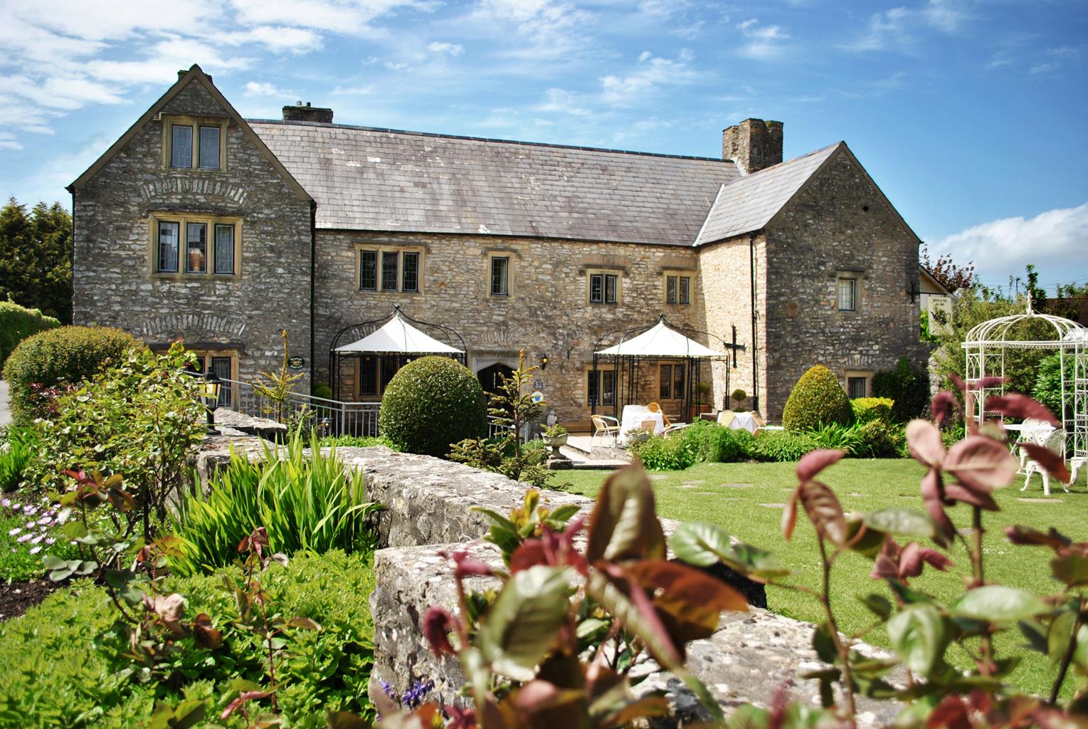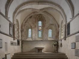


Best Western Heronston Hotel & Spa
Situated within easy reach of the town centre and the M4, this large modern hotel offers…

Through rolling sand dunes, returning along the little-known South Wales coast
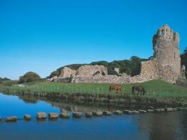
Dunraven
6 miles (9.7kms)
Most visitors to South Wales overlook the chunk of land that lies south of the M4 motorway between Cardiff and Swansea. Yet surprisingly, smack bang between the two cities and overshadowed by the huge industrial complexes of Port Talbot, there lies an unspoilt strip of coast.
Granted Heritage Coast status in 1972, the 14-mile (22.5km) stretch of Glamorgan coastline that runs between Ogmore and Gileston stands as defiant against progress as its cliffs do against the huge ebbs and flows of the Bristol Channel tides. Sandy beaches, often punctuated by weathered strips of rock that dip their toes in the ocean, break up an otherwise formidable barrier of limestone and shale cliffs that rise and dip gracefully above the water.
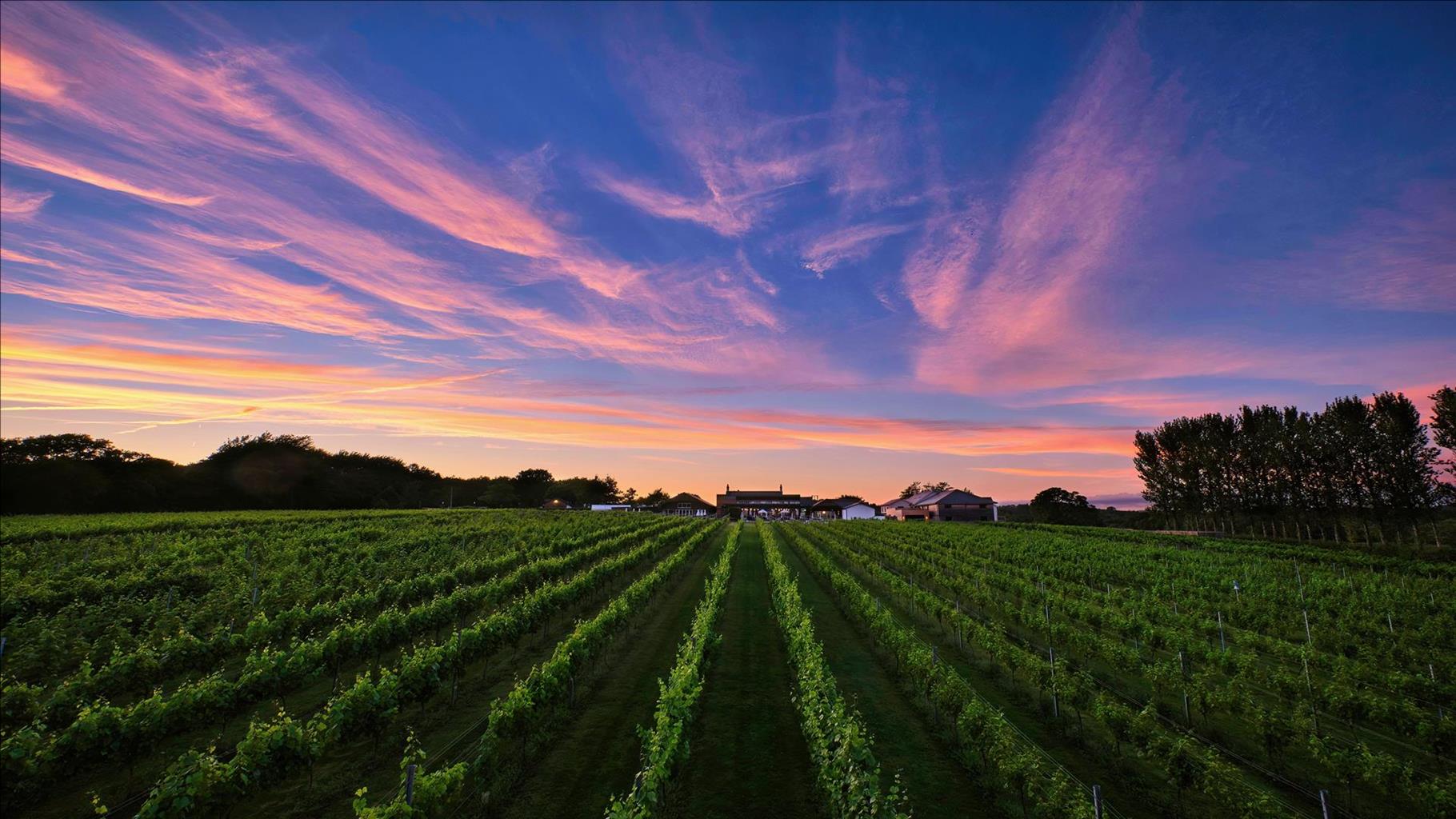
Dunraven Bay houses the Heritage Centre, which offers displays and information about the area. It also makes an appropriate starting point for a walk that gives at least a taster of this unique landscape. The early stages track inland, through woodland and farmland before heading coastwards, at the small village of St Bride’s Major. From here, the path sneaks between dunes and drops to the Ogmore River. Following the estuary downstream through bracken that simply teems with wildlife, you’ll meet the coast at Ogmore-by-Sea and pick up the coast path above one of many beaches here. With ocean views to your right and the dunes to your left, you’ll now climb easily back up above Dunraven where, if you time it right, you’ll witness the cliffs reflecting the pastel shades of sunset as you enjoy the final drop to the beach. It’s a wonderful way to finish off an evening stroll.
The Glamorgan Heritage Coast was one of three pilot schemes set up in 1972 to protect the country’s unique coastal landscapes and environments from destructive development. There are now 15 such areas in Wales, accounting for over a third of the total coastline. The aims of the scheme are fourfold: to maintain the ecological diversity, to provide public access and encourage recreational use, to protect the needs of the local population, including farmers and landowners, and to preserve the quality of the coastline. The Glamorgan Heritage Coast is managed by the Countryside Council for Wales that employs a professional ranger service to take care of the day-today running of the area.
From the car park, head up the lane at the back of the car park and pass the Heritage Centre on the right. Keep walking straight ahead as the road swings left and go through a gate next to a stile to duck into woodland. Continue to a fork by a waymarker and a gap in the wall, where you keep left to reach a stile. Cross this stile and walk along the edge of the field to reach a stile on your left. Go over the stile, then cross a stone stile on your right to keep ahead with a hedge to your right.
Cross into another field and keep to the left-hand side, following the hedgerow, which is now on your left. When you reach the next stile, continue ahead, go past a gate on the left, to reach another stone stile on the left. Cross this stile and head right over another stile, next to a gate, to another stone stile between a house and the farmyard.
Turn left on to the road and walk into the village. Keep left into the Southerndown road then fork right into Heol-y-slough. Follow this road for 0.75 miles (1.2km) then, as the road bends left, continue across the common. Keep ahead where a bridleway crosses the track. As you join another track, maintain your direction along the valley floor.
The path winds its way down through sand dunes, passing a tributary valley on the left, and eventually emerges on the B4524. Cross the road and continue towards the river until you locate one of the many paths that lead left, parallel to the river, towards Portobello House. Keep left on the drive then, once above the house, continue along a clear path, again parallel to the Ogmore River.
Make sure you stay above the small cliffs as you approach the mouth of the estuary and you’ll eventually arrive at a huge car parking area above the beach. Go through the car park along the coast around to the left.
You’ll come to a stone wall, which will funnel you through a gate marked ‘Coast Path’. Continue along the coast path until, 0.75 miles (1.2km) from the gate, you meet with a very steep-sided valley. Turn left into this valley then turn immediately right, on to a footpath that climbs steeply up the grassy hillside.
Stay with the footpath as it follows the line of a dry-stone wall around to West Farm. Keep the wall to the left to continue to the upper car park. A gap in the wall, at the side of this, leads you to a grassy track that follows the road down into Dunraven.
Easy-to-follow across farmland and coastline, many stiles
Deciduous woodland, farmland, bracken-covered sand dunes and rocky coastline
Some difficult stiles; no dogs allowed on beach at Dunraven in summer
OS Explorer 151 Cardiff & Bridgend
Large car park at Heritage Centre above Dunraven Beach
Heritage Centre, also at Ogmore-by-Sea
Read our tips to look after yourself and the environment when following this walk.
The country of Bridgend is home to the town of the same name. Some 22 miles west of Cardiff, one of the commuter town’s most notable feature is Merthyr Mawr, a huge stretch of grassy sand dunes and a Site of Special Scientific Interest (SSSI), leading down to the sea. Nature lovers will enjoy Merthyr Mawr and its abundance of plants and insect life. The sand dunes are the second highest in Europe, while the areas of dune woodland and scrub provide additional habitats, resulting in increased wildlife diversity. The site is also well known as a place where some nationally rare and unusual fungi species grow.
Further west lies Porthcawl and the first real beach you hit of your way from Cardiff. While it doesn’t match up to the breathtaking beaches further west, it’s sandy and has decent waves for surfing and kite surfing. For those not up for some board action, the town has plenty else for visitors, including a promenade and funfair, and each September it hosts an Elvis Festival, where the whole town dons blue suede shoes and greased-up quiffs in honour of the star.
Discover more than 15,000 professionally rated places to stay, eat and visit from across the UK and Ireland.
Choose a place to stay safe in the knowledge that it has been expertly assessed by trained assessors.
Search by location or the type of place you're visiting to find your next ideal holiday experience.
Read our articles, city guides and recommended things to do for inspiration. We're here to help you explore the UK.