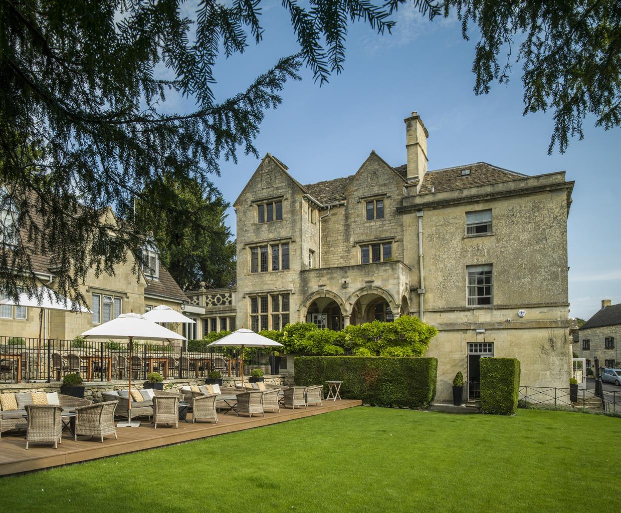


The Crown Inn
This establishment was a cider house in the 17th century, and guests today will find that…

From beautiful Bisley, this ramble follows undulating field paths taking in small villages and hamlets along the way.
Bisley
5.5 miles (8.8kms)
There are many beautiful villages in the Cotswolds, and this walk takes you to one of the loveliest. Bisley is well known in the area for its well-dressing ceremony, which takes place on Ascension Day – a Thursday 40 days after Easter. This tradition, usually associated with the Peak District where wells have been dressed for centuries, was originally a pagan ceremony, but in the 14th century became a thanksgiving for wells that remained uncontaminated during the Black Death. In Bisley, the tradition dates from the restoration of the wells in Wells Street in 1863 by the Revd Thomas Keble. He was the vicar of Bisley at the time and the younger brother of John Keble (1792–1866), the poet, theologian and founder of Keble College in Oxford.
Before Ascension Day, moss and flowers are collected to cover the frames and hoops carried by 22 children from the local Bluecoat school in the procession to the wells. In the past, all of this was done in great secrecy, in the spirit of competition, while these days most of the decorative work is done in school. One problem is finding enough flowers at this time of year and keeping them fresh enough to use in the ceremony. On Ascension Day itself, a service is held in the parish church, then the children’s procession forms; the oldest children carrying the largest floral stars at the front. The procession, preceded by the band and the vicar, marches through the village and down to the wells, where the vicar performs a short blessing. The flowers are arranged by the children to spell ‘Ascension’ and ‘AD’ and the current year, while garlands, floral hoops and Stars of David are laid about the wells.
Bisley is remarkable in a number of ways. In the churchyard is a 13th-century Poor Soul’s Light, the only outdoor example in the country. It was used to light Mass candles on behalf of those who were too poor to buy their own. And then there is the Bisley Boy; legend says that the real Queen Elizabeth I is buried in Bisley churchyard. During a visit here as a girl, apparently, she fell ill and died. A local boy who resembled her took her place and went on to become queen.
From your parking spot in Bisley village, walk down to the main street. At the T-junction opposite the post office, turn right and take the first turn left up a street to a junction. Go straight on, signposted ‘Waterlane’, then follow the road sharply right.
After 400yds (366m), turn right through a gate opposite Rectory Farm and walk through two fields. Go through a gate and drop to a road. Cross to a stile to the left of a stone stable, then go through a paddock to another stile. Go straight on across two further fields, then slightly right to a gap in the hedge and along the field margin to a hedge gap in the corner. Turn slightly left across the field to a stile in the corner and head for the stile at the trees’ edge. Descend along a path through the trees to a small field. Go slightly right to cross a track and a stile. Cross to a path beside houses, bearing left soon after to descend to a track in Bournes Green.
Turn right to reach a junction and turn left. At the next junction, descend straight across to a lane via a grassy bank. Follow this lane steeply down across a stream and uphill to a hairpin bend. Turn right over a stile and go immediately left through a bank of trees to a double stile. Continue slightly right across the field to a stile onto a road. Cross the road to enter another field via a stile. Cross two fields to a road and turn right.
Take the second lane on the left (signed ‘Frampton Mansell’), which descends steeply. Turn left just past the stone water pump and war memorial, following a sign for Far Oakridge. Stay with this lane as it bears right at Whitespring house and up and out of the village. At a junction with a wider road, keep ahead.
At a crossroads in Far Oakridge, turn left onto a track to the right of Birds Frith Farm. Continue to a junction with a road in Waterlane and take the leftmost of the two lanes to the right towards Bisley. Drop to a crossroads and take the dead-end lane straight ahead. At a farm, bear left onto a track, keeping ahead at a fork to a gate and stile.
Cross the stile and go straight on uphill to a stile at the crest of the field. Continue ahead to a stile into woodland and descend steeply into a field. Before reaching the bottom, turn left towards a stile and continue through fields alongside a stream and ponds. Cross one further stile then, approaching the end of the field, go right, across the stream via stone slabs. Follow the left edge of the field uphill to a stile and lane.
Turn left and walk all the way to a junction, then go right along a track and enter a field via a kissing gate. Go slightly left to the other side through a kissing gate and then left along a footpath to a road. Cross the road (watch out for traffic here as it can be busy) and descend some steps to central Bisley, and the starting point of the walk.
Tracks, fields, lanes, many stiles
Secluded valleys, villages, open wold
Little livestock, but lots of stiles
OS Explorer 179 Gloucester, Cheltenham & Stroud
On-street parking near the Bear Inn in Bisley
None on route
Read our tips to look after yourself and the environment when following this walk.
Gloucestershire is home to a variety of landscapes. The Cotswolds, a region of gentle hills, valleys and gem-like villages, roll through the county. To their west is the Severn Plain, watered by Britain’s longest river, and characterised by orchards and farms marked out by hedgerows that blaze with mayflower in the spring, and beyond the Severn are the Forest of Dean and the Wye Valley.
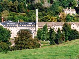
Throughout the county you are never far away from the past. Neolithic burial chambers are widespread, and so too are the remains of Roman villas, many of which retain the fine mosaic work produced by Cirencester workshops. There are several examples of Saxon building, while in the Stroud valleys abandoned mills and canals are the mark left by the Industrial Revolution. Gloucestershire has always been known for its abbeys, but most of them have disappeared or lie in ruins. However, few counties can equal the churches that remain here. These are many and diverse, from the ‘wool’ churches in Chipping Campden and Northleach, to the cathedral at Gloucester, the abbey church at Tewkesbury or remote St Mary’s, standing alone near Dymock.
Discover more than 15,000 professionally rated places to stay, eat and visit from across the UK and Ireland.
Choose a place to stay safe in the knowledge that it has been expertly assessed by trained assessors.
Search by location or the type of place you're visiting to find your next ideal holiday experience.
Read our articles, city guides and recommended things to do for inspiration. We're here to help you explore the UK.