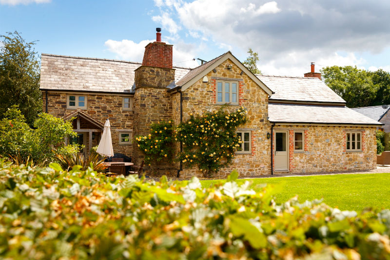
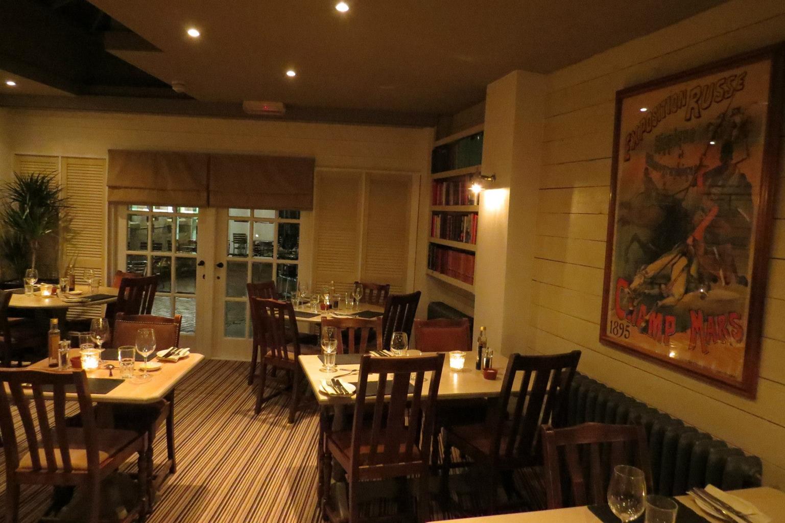

Somerville House
Somerville House is a detached villa that dates back to 1895 and is situated on a quiet…

Hereford
3 miles (4.8kms)
The old city of Hereford overlooked the Wye from its northern bank and, as its name suggests, was an important river crossing. A Celtic see from the sixth century, it has seen much conflict both as a Marches town (established by the Normans to subdue the Welsh) and during the English Civil War (1642–1651). Founded around 1050 by the Anglo-Saxons to repel the Welsh, its castle was rebuilt by the Normans and remained in use until the 17th century. All that survives of the fortifications are fragmentary city walls and part of the moat by Castle Green.
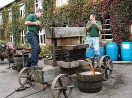
The city’s prosperity grew out of the surrounding land, where apple orchards and cattle production thrived. The famous Hereford breed, developed at the end of the 18th century for beef production, is celebrated in a life-size bronze statue of a bull beside the Old House in High Town. Apples grown in orchards scattered across the county’s sheltered vales are largely used for cider production, and both Bulmers and Westons are based in the city. Herefordshire has even adopted an apple for its logo.
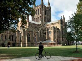
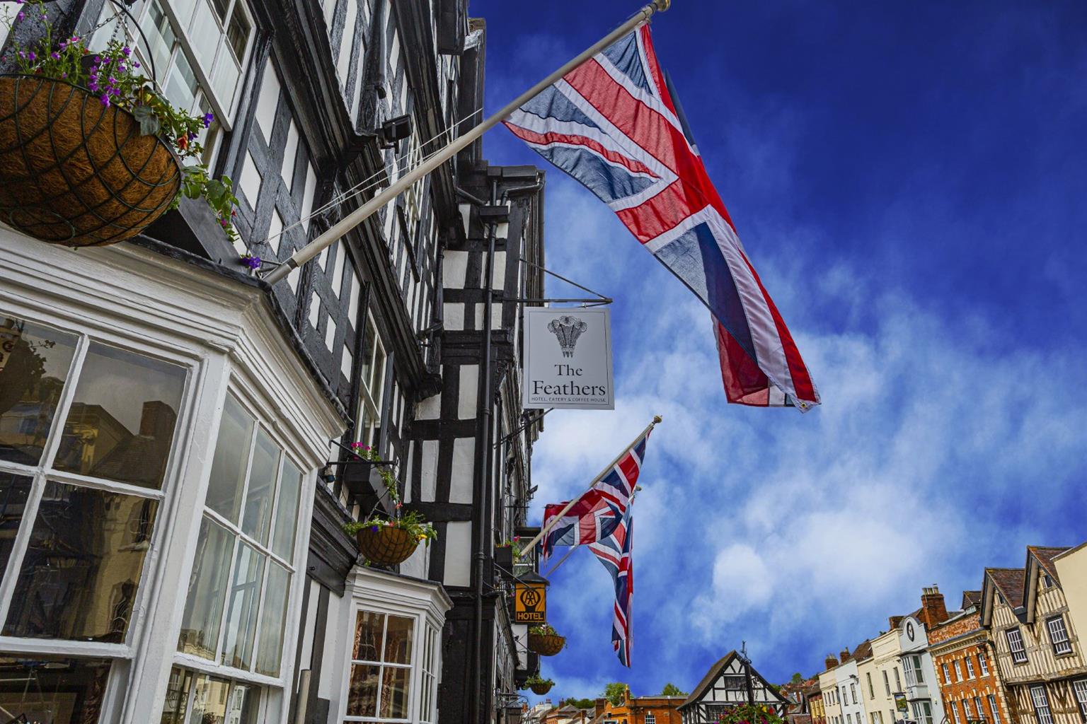
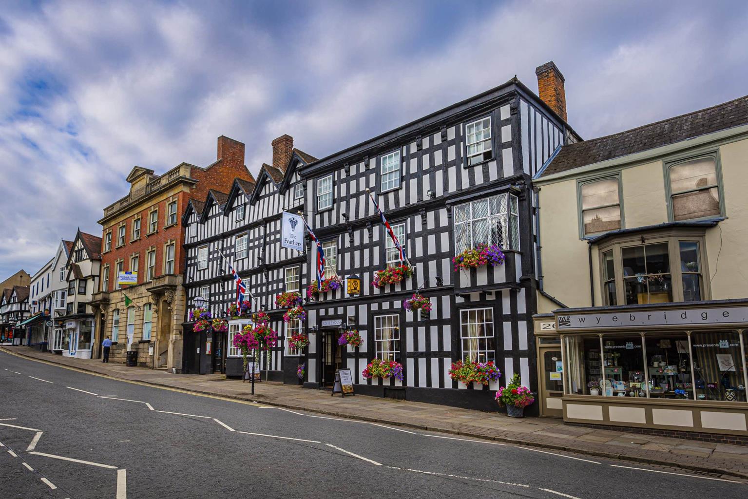
Largely unscathed during World War II, Hereford’s older buildings make an attractive tour. At the city’s heart, the cathedral occupies the site of the first stone church, built over the tomb of St Ethelbert around 825. Destroyed when the city was sacked by the Welsh in 1056, it was later rebuilt by the Normans, a process that took some 70 years to complete. It has seen many changes during the last 1,000 years, including the disastrous collapse of the western tower in 1786. Inside are the famous 14th-century Mappa Mundi, with Jerusalem placed at the centre of the world, and the Chained Library. Other buildings to seek out are St Xavier’s Church, its entrance flanked by imposing Greek Doric columns, and the Museum and Art Gallery, both in Broad Street.
Turn left out of the car park and walk up Widemarsh Street to the Coningsby Hospital Museum, housed in a hospital built in 1614 for ex-servicemen beside a Black Friars’ monastery. Its remains and a preaching cross can be seen in the secluded rose garden behind. Briefly retrace your steps and go left into Coningsby Street. At its end, Canal Road to the left led to the triple canal basin terminus of the Hereford and Gloucester Canal. The route, however, continues to the right along Monkmoor Street and then right again along Commercial Road to a busy junction opposite the Kerry. Cross at the lights.
Briefly detour left along Bath Street to see a remnant of the old city wall opposite the Magistrates’ Court, then return to go down Union Street beside the Kerry pub. Union Street leads to St Peter’s Square. Just to the left along St Owen’s Street is the Town Hall, which was opened in 1904. Turn around and walk back past St Peter’s Church into High Town. A short distance past the Black & White House Museum swing left through an archway down a narrow passage, Capuchin Lane. It leads into Church Street and on to the cathedral, where the famous Mappa Mundi can be seen.
Go left past the cathedral into Castle Street. Approaching Castle House at the end, walk right along a narrow passage which leads past Castle Pool (the last remnant of the city’s defensive moat) to Castle Green. Turn left on a rising path that skirts two sides of the park to a viewpoint overlooking the Wye. Steps left of the belvedere lead down to Victoria Bridge.
On the far bank turn right beside Bishop’s Meadow, continuing beyond to cross St Martin’s Street at the foot of the 15th-century Wye Bridge. It carried all the city’s traffic until Greyfriars Bridge was built in 1966. Carry on beside the river to Hunderton Bridge, constructed in 1854 to carry the railway from Newport and Abergavenny.
Cross here, descending to the riverbank to double back downstream past the Rugby Club. Approaching Hereford Rowing Club, the path leaves the river to skirt the clubhouse. Continue up Greyfriars Avenue. Immediately before the main road, go right along a footpath above the car park. Emerging from a pedestrian subway, glance right through a gateway to see the base of one of the city wall’s towers before turning up steps to cross St Nicholas’s Street.
Continue along Victoria Street beside the old city walls and then turn right into West Street. At the crossroads, go left into Broad Street, heading towards All Saints Church at the top. A popular meeting place, it houses a café and exhibitions while maintaining its original spiritual function. Go right to High Town, taking the first left into Widemarsh Street. Follow it up across a junction with a main road back to the car park.
City streets, riverside path and tracks
Riverside and city
Busy city streets are not great for dogs, which should be kept on a lead
OS Explorer 189 Hereford & Ross-on-Wye
Garrick House long-stay, pay-and-display multi-storey car park, Widemarsh Street
Blackfriars Street, Castle Green, East Street and Union Street
Care needed crossing busy junctions
Read our tips to look after yourself and the environment when following this walk.
Herefordshire is split in two by the River Wye which meanders through the county on its way to the Severn and the sea. Largely rural, with Hereford, Leominster, and Ross-on-Wye the major towns and cities, its countryside and ancient villages are the county’s major asset.
Visitors can take advantage of a number of the trails which will guide them through areas of interest. Those especially interested in historic village life should try the Black and White Village Trail, which takes motorists on a 40-mile drive around timber-framed villages from Leominster to Weobley (established in the 17th century and known as a centre of witchcraft in the 18th), Eardisley (where the church boasts a 12th-century carved font), Kington, Pembridge and others. Other trails include the Mortimer Trail, the Hop Trail and the Hidden Highway, which goes from Ross-on-Wye to Chester. Hereford has a small Norman cathedral, which has a great forest of pink sandstone columns lining the nave. Inside is a chained library, a 13th-century Mappa Mundi (map of the world) and one of only four copies of the 1217 version of the Magna Carta.
Discover more than 15,000 professionally rated places to stay, eat and visit from across the UK and Ireland.
Choose a place to stay safe in the knowledge that it has been expertly assessed by trained assessors.
Search by location or the type of place you're visiting to find your next ideal holiday experience.
Read our articles, city guides and recommended things to do for inspiration. We're here to help you explore the UK.