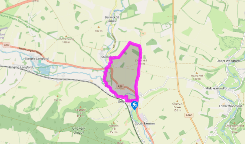
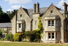
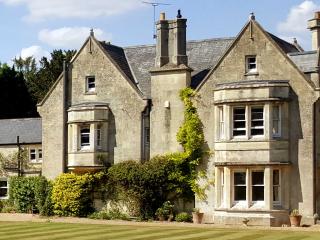
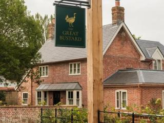
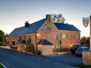
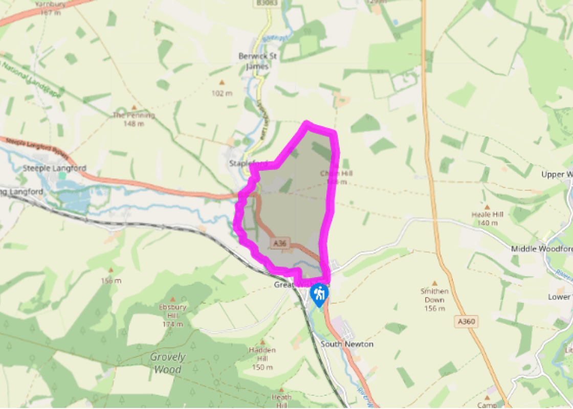
From St Giles church at Great Wishford, walk down the road (South Street) to the T-junction at the side and turn right along West Street, signposted to the A36. The Old Rectory can be seen on the corner. Cross the river Wylye and turn left at the main road. Pass The Swan @ Stoford pub and as the A36 begins to curve left, bear right to follow a track (restricted byway).
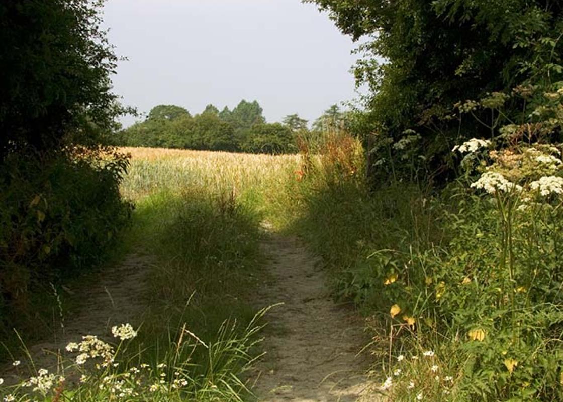
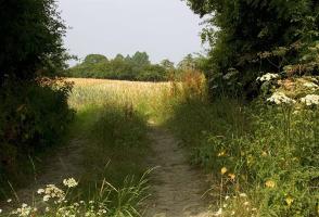
Climb the grassy track, following the Monarch’s Way over open fields and downland towards a barn. Glancing back on this windswept stretch of the walk reveals a good view of the valley, with the trees of Grovely Wood in the distance. Look for a copse in the distance. Keep straight on over Chain Drove, at an intersection and by a barn. Keep the copse on the left and as you approach farm outbuildings, take the next track on the left.
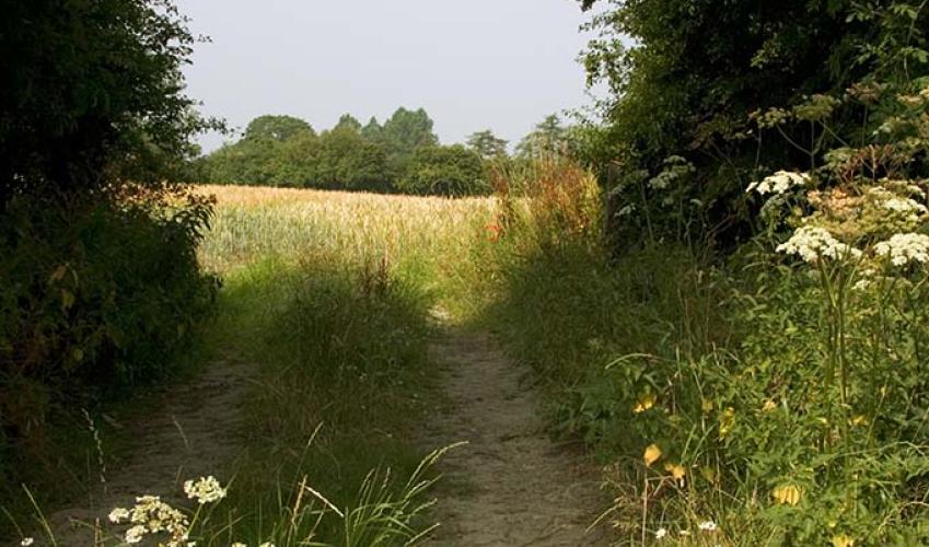
Follow it across farmland and as it sweeps sharp left. Pass a track marked private on the left and continue as the track descends into the valley, cutting between trees and hedgerows. At length it descends more steeply between trees, approaching the village of Stapleford. Cut through the trees to a lane, keep left and at the B3083, by a bus stop, cross over to a bridleway (Chapel Lane). Walk down to the entrance to Seymour Cottage and turn left immediately in front of it.
Keep right when the path forks and follow it between fences. Cross a footbridge and continue to a gate leading out to the A36. Turn right towards The Pelican pub and cross the road before the bridge to join a footpath. Follow the path to a stile and keep right in the meadow. Cross the next stile and two footbridges, then keep left in the field, making for the riverbank. Along this final stretch of the walk two rivers – the Wylye and the Till – converge. Cross a footbridge to a stile and walk diagonally right, across the meadows. Keep on the riverbank, cross another stile and follow the path, which is either by the river or near it.
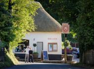
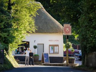
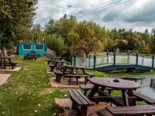
When you draw level with a picturesque thatched cottage over to the right, with a railway line running behind it, continue for about 100yds (91m) and turn right. Cross a footbridge with stiles at both ends, turn left and walk alongside the river towards farm outbuildings. Go through a wooden gate to join a drive and keep right. Walk along Manor Farm Lane and at the junction turn left. The Royal Oak pub is a short distance to the right at the junction. Walk through Great Wishford and return to South Street where the walk began.
The early stages of this walk follow the Monarch’s Way, Charles II’s approximate escape route after the Battle of Worcester in October 1651. Defeated and on the run, the path Charles took enabled him to escape his enemies and eventually flee to France. His route through Wiltshire was one step on a... long and eventful journey that has become an integral part of British history. Following the Battle of Worcester, where his army was soundly beaten, the young Charles, aged just 21, fled across England, hotly pursued by Parliamentary forces under the leadership of Oliver Cromwell. Though documented fact, it has all the hallmarks of a classic adventure story; a colourful, rip-roaring tale of intrigue and suspense. Pursued by parliament Firstly, Charles made his way north, intending to cross the River Severn into Wales where he hoped to find a ship and sail to the continent. However, the river was heavily protected and Charles was forced to change his plans. Instead he travelled south through the Cotswolds and the Mendips, eventually reaching Charmouth on the Dorset coast. Once again his plans to escape by boat were thwarted, and in a desperate attempt to evade capture, he made his way through Wiltshire and Hampshire into Sussex and along the coast to Shoreham, near Brighton, where at last he found a ship, which could take him to France. His journey through the countryside of England lasted six weeks and during that critical period he was supported by his loyal followers, many of whom risked their own lives in the process. Scenic escape route In all, the Monarch’s Way runs across the country for 615 miles (990km) and is defined by yellow waymarks depicting an illustration of the ship by which Charles sailed to France – the Surprise – and the Prince of Wales three-point feathered crown superimposed on an oak tree. Charles supposedly hid in an oak tree in the grounds of Boscobel House on the Staffordshire/Shropshire border after loosing the battle. No-one can be certain of the exact route taken by the defeated king that autumn so long ago but the Monarch’s Way provides a fascinating glimpse of the landscape explored by Charles and the varied scenery he would have witnessed along the way.
Wiltshire’s charm lies in the beauty of its countryside, with expansive chalk landscapes of the Marlborough and Pewsey downs and miles of uninterrupted views deep into Dorset, Somerset and the Cotswolds. Stroll through quaint timbered and thatched villages in the southern Woodford and Avon valleys and explore the historic streets of the stone villages of Lacock, Castle Combe and Sherston.
From St Giles church at Great Wishford, walk down the road (South Street) to the T-junction at the side and turn right along West Street, signposted to the A36. The Old Rectory can be seen on the corner. Cross the river Wylye and turn left at the main road. Pass The Swan @ Stoford pub and as the A36 begins to curve left, bear right to follow a track (restricted byway).
1 of 5
Climb the grassy track, following the Monarch’s Way over open fields and downland towards a barn. Glancing back on this windswept stretch of the walk reveals a good view of the valley, with the trees of Grovely Wood in the distance. Look for a copse in the distance. Keep straight on over Chain Drove, at an intersection and by a barn. Keep the copse on the left and as you approach farm outbuildings, take the next track on the left.
2 of 5
Follow it across farmland and as it sweeps sharp left. Pass a track marked private on the left and continue as the track descends into the valley, cutting between trees and hedgerows. At length it descends more steeply between trees, approaching the village of Stapleford. Cut through the trees to a lane, keep left and at the B3083, by a bus stop, cross over to a bridleway (Chapel Lane). Walk down to the entrance to Seymour Cottage and turn left immediately in front of it.
3 of 5
Keep right when the path forks and follow it between fences. Cross a footbridge and continue to a gate leading out to the A36. Turn right towards The Pelican pub and cross the road before the bridge to join a footpath. Follow the path to a stile and keep right in the meadow. Cross the next stile and two footbridges, then keep left in the field, making for the riverbank. Along this final stretch of the walk two rivers – the Wylye and the Till – converge. Cross a footbridge to a stile and walk diagonally right, across the meadows. Keep on the riverbank, cross another stile and follow the path, which is either by the river or near it.
4 of 5
When you draw level with a picturesque thatched cottage over to the right, with a railway line running behind it, continue for about 100yds (91m) and turn right. Cross a footbridge with stiles at both ends, turn left and walk alongside the river towards farm outbuildings. Go through a wooden gate to join a drive and keep right. Walk along Manor Farm Lane and at the junction turn left. The Royal Oak pub is a short distance to the right at the junction. Walk through Great Wishford and return to South Street where the walk began.
The early stages of this walk follow the Monarch’s Way, Charles II’s approximate escape route after the Battle of Worcester in October 1651. Defeated and on the run, the path Charles took enabled him to escape his enemies and eventually flee to France. His route through Wiltshire was one step on a... long and eventful journey that has become an integral part of British history. Following the Battle of Worcester, where his army was soundly beaten, the young Charles, aged just 21, fled across England, hotly pursued by Parliamentary forces under the leadership of Oliver Cromwell. Though documented fact, it has all the hallmarks of a classic adventure story; a colourful, rip-roaring tale of intrigue and suspense. Pursued by parliament Firstly, Charles made his way north, intending to cross the River Severn into Wales where he hoped to find a ship and sail to the continent. However, the river was heavily protected and Charles was forced to change his plans. Instead he travelled south through the Cotswolds and the Mendips, eventually reaching Charmouth on the Dorset coast. Once again his plans to escape by boat were thwarted, and in a desperate attempt to evade capture, he made his way through Wiltshire and Hampshire into Sussex and along the coast to Shoreham, near Brighton, where at last he found a ship, which could take him to France. His journey through the countryside of England lasted six weeks and during that critical period he was supported by his loyal followers, many of whom risked their own lives in the process. Scenic escape route In all, the Monarch’s Way runs across the country for 615 miles (990km) and is defined by yellow waymarks depicting an illustration of the ship by which Charles sailed to France – the Surprise – and the Prince of Wales three-point feathered crown superimposed on an oak tree. Charles supposedly hid in an oak tree in the grounds of Boscobel House on the Staffordshire/Shropshire border after loosing the battle. No-one can be certain of the exact route taken by the defeated king that autumn so long ago but the Monarch’s Way provides a fascinating glimpse of the landscape explored by Charles and the varied scenery he would have witnessed along the way.
Wiltshire’s charm lies in the beauty of its countryside, with expansive chalk landscapes of the Marlborough and Pewsey downs and miles of uninterrupted views deep into Dorset, Somerset and the Cotswolds. Stroll through quaint timbered and thatched villages in the southern Woodford and Avon valleys and explore the historic streets of the stone villages of Lacock, Castle Combe and Sherston.