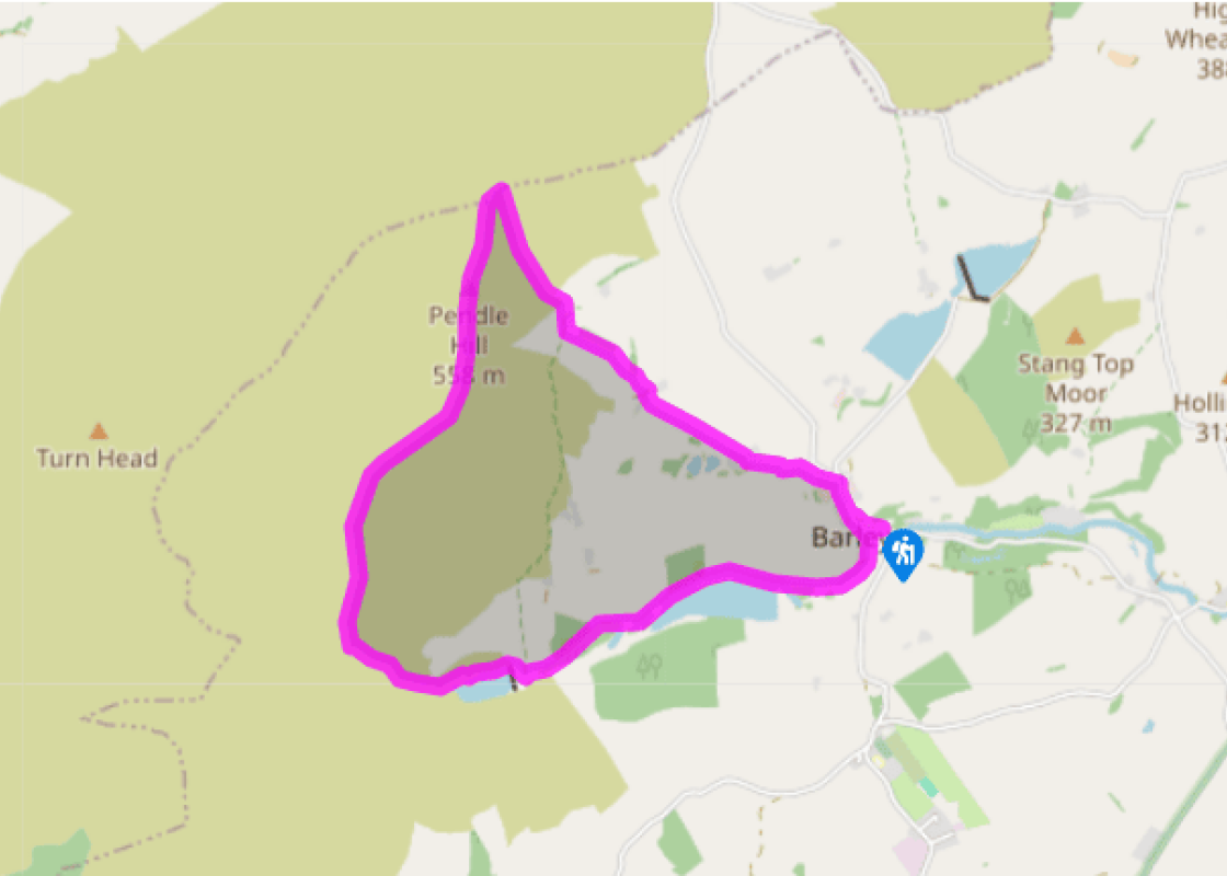
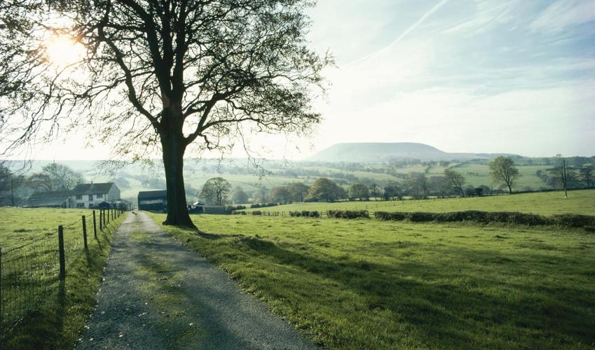
The Pendle Way from Barley
Recommended by

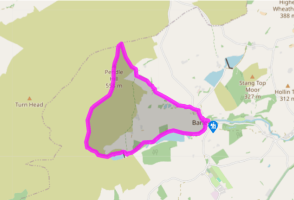
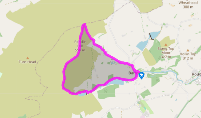
Walk directions
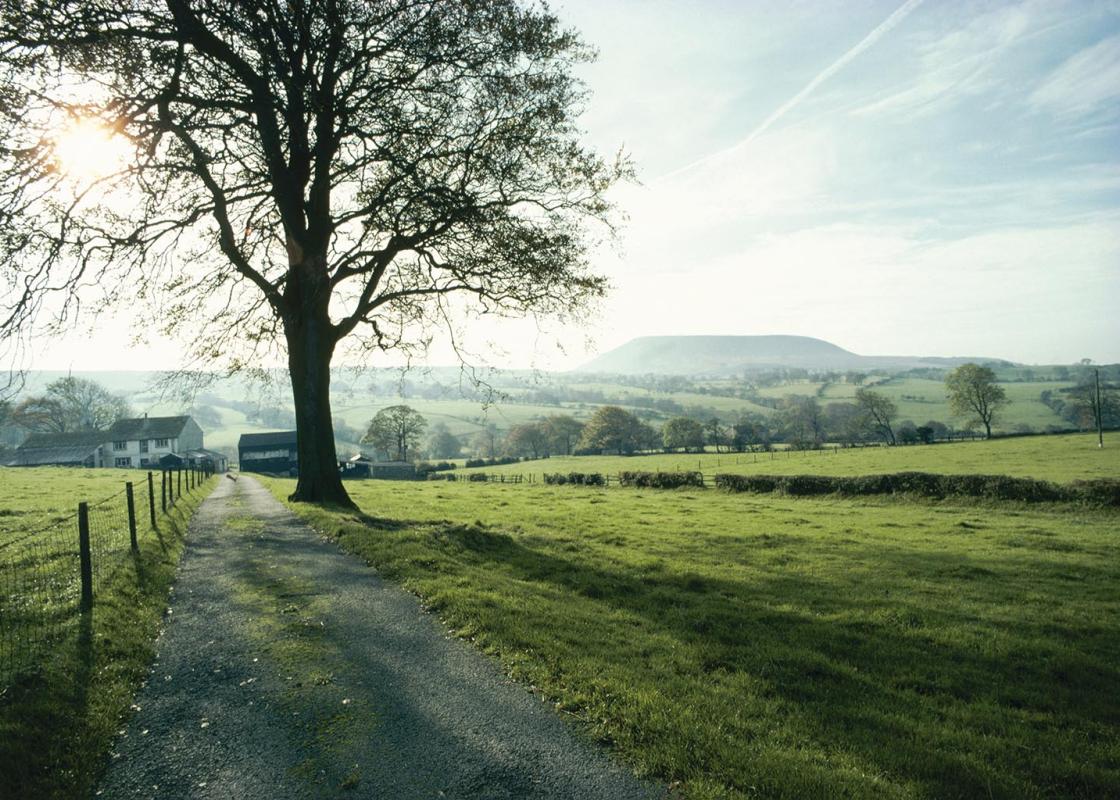
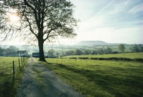
Exit the car park, turn right and cross the main road to a bridlepath signposted 'Ogden Clough', Pass the three-storey Barley Green Farmhouse with its interesting row of corbels, proceed between circular gateposts, and pass a Water Works building on the right. Continue to a climb beside the grassy dam of the lower reservoir, where the metalled lane gives way to an unmade track. Continue straight ahead and join the Pendle Way as it leaves Fell Wood on the left; here you get your first clear view of Pendle Hill up to the right. Keep straight ahead to the bottom of the upper reservoir, cross a stile and ascend the track beside the dam. Follow the Pendle Way alongside the reservoir and up Ogden Clough, passing through a kissing gate into open country. The path is obvious to another kissing gate, where the route bears right up a stony path that soon swings left and follows the contours.
Cross the stream in Boar Clough. An obvious, badly eroded, path climbs up to the right. The worst of this can be avoided by continuing ahead a short distance, then climbing grassy slopes directly to a marker post. Either way is steep at first but soon gives way to a more gentle climb on soft ground along a cairn-marked route over Barley Moor to the summit trig point.
View all directions
Additional information
Terrain
- Defined paths, lots of kissing gates, one stile
Landscape
- Wooded valleys, moorland, hilltop views
Dog friendliness
- On lead near livestock on moorland
Parking
- Pay-and-display car park in Barley
Toilets en route
- At car park
About the walk
This walk commences in the commendable village of Barley, which, in 1324, was known as Barelegh – an infertile lea or meadow. It follows much of the route of the Pendle Way, signposted by a black witch flying on her broomstick across a yellow sky. You climb gently past the Lower Ogden Reservoir and...
Read more

Been on this walk?
Send us photos or a comment about this route. Or recommend a route of your own.

Walking in Safety
Read our tips to look after yourself and the environment when following this walk.

Get an AA guide
Explore our range of ‘50 Walks in’ guides - they’re the ideal companion for a ramble.
Been on this walk?
Send us photos or a comment about this route. Or recommend a route of your own.
Walking in Safety
Read our tips to look after yourself and the environment when following this walk.
Get an AA guide
Explore our range of ‘50 Walks in’ guides - they’re the ideal companion for a ramble.
About the area
Lancashire was at the centre of the British cotton industry in the 19th century, which lead to the urbanization of great tracts of the area. The cotton boom came and went, but the industrial profile remains.

Nearby places to stay
View all (8)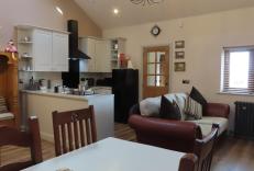


Nearby places to stay
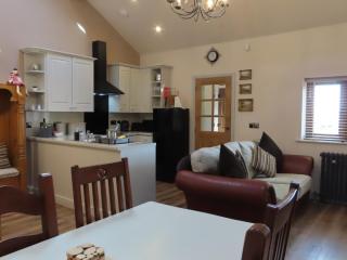
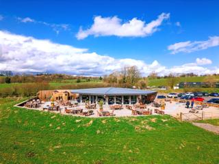
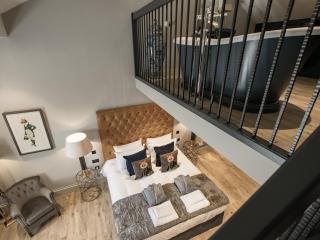
Pendle Holiday Cottages
In the picture postcard village of Barley, Pendle Holiday Cottages are surrounded by beautiful countryside within the Forest of Bowland Area of Outstanding Natural Beauty. Chose between...
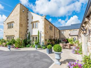
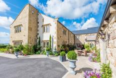
Fence Gate
Fence Gate has been family run for more than thirty years, and offers rooms that vary in size and shape, with each providing high levels of quality and lots of thoughtful extras. There’...
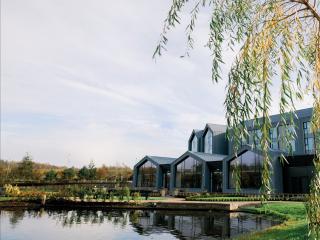
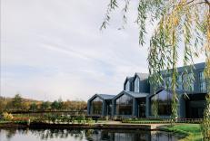
Crow Wood Hotel & Spa Resort
Located just off the motorway but secluded and peaceful, Crow Wood is situated in 100 acres of woodland and offers modern bedrooms, attractively appointed and well equipped for both lei...
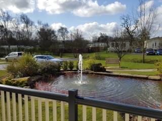
Ribble Valley Holiday Park
Ribble Valley is a peaceful countryside holiday park with views of Pendle Hill. The countryside location is truly magnificent; miles of countryside in every direction providing fantasti...
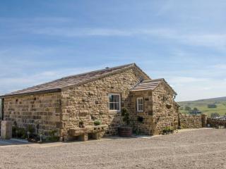
The Croft
Set in a high moorland location, with fabulous views, The Croft is beautiful, stone built, former farm building located in Trawden Forest on the outskirts of Trawden village. Just 5 mil...
The Croft
Set in a high moorland location, with fabulous views, The Croft is beautiful, stone built, former farm building located in Trawden Forest on the outskirts of Trawden village. Just 5 mil...
Freemasons at Wiswell
The Freemasons at Wiswell is a village pub with a 3 AA Rosette restaurant, in a quiet, tucked-away location. It also has four luxuriously appointed bedrooms in the cottage next door. Pr...
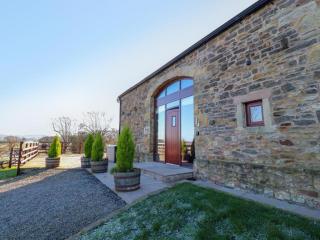
Hill Brook Barn
Hill Brook Barn sits resting among the scenic splendour of the Pendle Valley, in a wonderfully remote area of Lancashire. On the grounds of the owner's farm where you can watch cattle a...
Places to eat nearby View all