


High Trees Farm
Discover three beautiful holiday cottages at High Trees Farm, a 600-year-old working farm set in…

Standon
5.75 miles (9.3kms)
It is difficult to visualise a prosperous Roman town in the fields between Puckeridge and Braughing on the west bank of the River Rib. The eastern boundary is roughly along the trackbed of a railway, itself also vanished into history. A look at the OS map shows the site roughly between the boundary north of Braughing Station House and south to a line between the pub symbol and the Sluice. Here Ermine Street changes its alignment. Having headed northeast to Puckeridge and along its High Street to the Roman town, it deviated to head northwest to Buntingford. Stane Street, from Colchester in the east via Bishop's Stortford, met Ermine Street near the pub symbol, but in medieval times the road moved south to pass through Standon from Horse Cross, possibly because the river crossing at Standon was easier. To the west of Horse Cross on the OS map the parish boundaries follow the course of Stane Street.
Other Roman roads converged here, including one that is now a track and heads southeast from Baldock towards the Roman town. It disappears in Hamels Park. Another one from Verulamium (St Albans) merged with Ermine Street 2 miles (3.2km) south of the town site. The present B1368 to Barkway and Cambridge follows the course of a Roman road due north from the Roman town. Interestingly the diversion of Stane Street south through Standon spawned a new settlement at the Ermine Street junction. This was Puckeridge, which was granted a market charter in 1311.
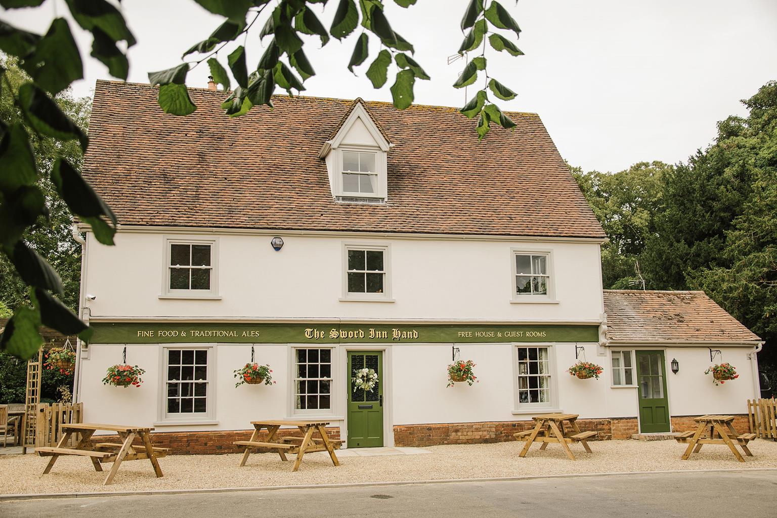
There is much else besides Roman history. For example, the fine, wide High Street of Standon used to be the marketplace. It has two timber-framed pubs and several well-preserved houses. It also has a church at the south of the town – its 15th-century tower and 'Hertfordshire spike' spirelet rear over the Georgian houses. Inside, look for the Sadleir monuments of 1587 and 1606. Upp Hall, southeast of Braughing, is a fine, brick mansion from about 1640 with three, spaced gables. Braughing, dependent on the River Quin and its two fords, has a sound church in which the Brograve monument from 1625 is outstanding. More contemporarily, Braughing Station is now a house but it retains a platform. It was on the Buntingford branch line which opened in 1863 and closed in 1964.
Walk south along Standon High Street to the church. At the junction with Paper Mill Lane go left into Hadham Road. Beyond the village turn left at a public footpath signposted 'Frogshall Cottages'. Go sharp left along an enclosed path and continue along this green lane as it descends to the A120. Turn right, uphill. Before the bend, go left at a public bridleway sign.
Follow the bridleway, which eventually descends into a valley to bear right, keeping a stream on your right. At the end of the arable field cross the parish boundary to climb away from the stream, with oak woods on your right. Keeping all the farm buildings on your left continue to a road.
Cross to a bridleway sign by the postbox. Go through a gate and keep alongside a metal park fence to skirt Upp Hall. Now cross to the corner of the field on to a green lane, initially with woods away to your left, to ascend to a lane.
Go left on to the lane and follow this until, passing some cottages, you go to the right of No 28, on to a path that passes behind gardens to your right and descends to the road.
Here, in Braughing, turn left, then turn right at the Square into St Mary's churchyard. From the church descend to the lane junction with Church End. Turn right down Fleece Lane. This becomes a footpath, which crosses the River Quin on an iron bridge and climbs to the main road.
Turn left briefly on to the B1368, then left again down Malting Lane. A footbridge bypasses the River Quin ford. Turn right into Ford Street. Once out of the village turn left on to the B1368, shortly crossing the River Rib.
Go left at a footpath sign just before an old railway bridge. Bear right to the former trackbed to turn left on to it – the Roman town site is on your right. Follow the track, sometimes beside it, with the river to the left. Eventually pass a school on your right and bear right at a signpost to cross the trackbed. Cross a footbridge into a cul-de-sac, Meadow Walk, and follow it to the road junction.
Turn left along Station Road and left on to the main road, the A120. Pass the former Standon Flour Mills, dated 1901. Cross the road at the crossing, then go over the River Rib bridge. Turn right and you are back in the High Street.
Tracks, paths, some roads and former railway line
Winding valley of River Rib
On lead through farmland with grazing cows and sheep
OS Explorer 194 Hertford & Bishop’s Stortford
High Street, Standon (off A120)
None on route
Read our tips to look after yourself and the environment when following this walk.
As Hertfordshire is so close to London, many of its towns have become commuter havens. St Albans, less than 19 miles (30km) from the capital, has retained its distinctive character, along with many historic remains. The Roman city of Verulamium is situated in a nearby park, and excavations have revealed an amphitheatre, a temple, parts of the city walls and some house foundations. There are also some amazing mosaic pavements.
The abbey church at St Albans is thought to have been built on the same site where St Alban met his martyrdom in the 3rd century. The abbey was founded in 793 by King Offa of Mercia, and contains the saint’s shrine, made of Purbeck marble. Lost for years, it was discovered in the 19th century, in pieces, and restored by the designer of the red telephone box, Sir Giles Gilbert Scott. The abbey also contains some wonderful medieval wall paintings. Nicholas Breakspear was born in St Albans, the son of an abbey tenant. In 1154 he took the name Adrian IV, and became the first, and so far only, English pope. Another famous son of Hertfordshire was Sir Francis Bacon, Elizabethan scholar and Lord High Chancellor, born in Hemel Hempstead in 1561.
Discover more than 15,000 professionally rated places to stay, eat and visit from across the UK and Ireland.
Choose a place to stay safe in the knowledge that it has been expertly assessed by trained assessors.
Search by location or the type of place you're visiting to find your next ideal holiday experience.
Read our articles, city guides and recommended things to do for inspiration. We're here to help you explore the UK.