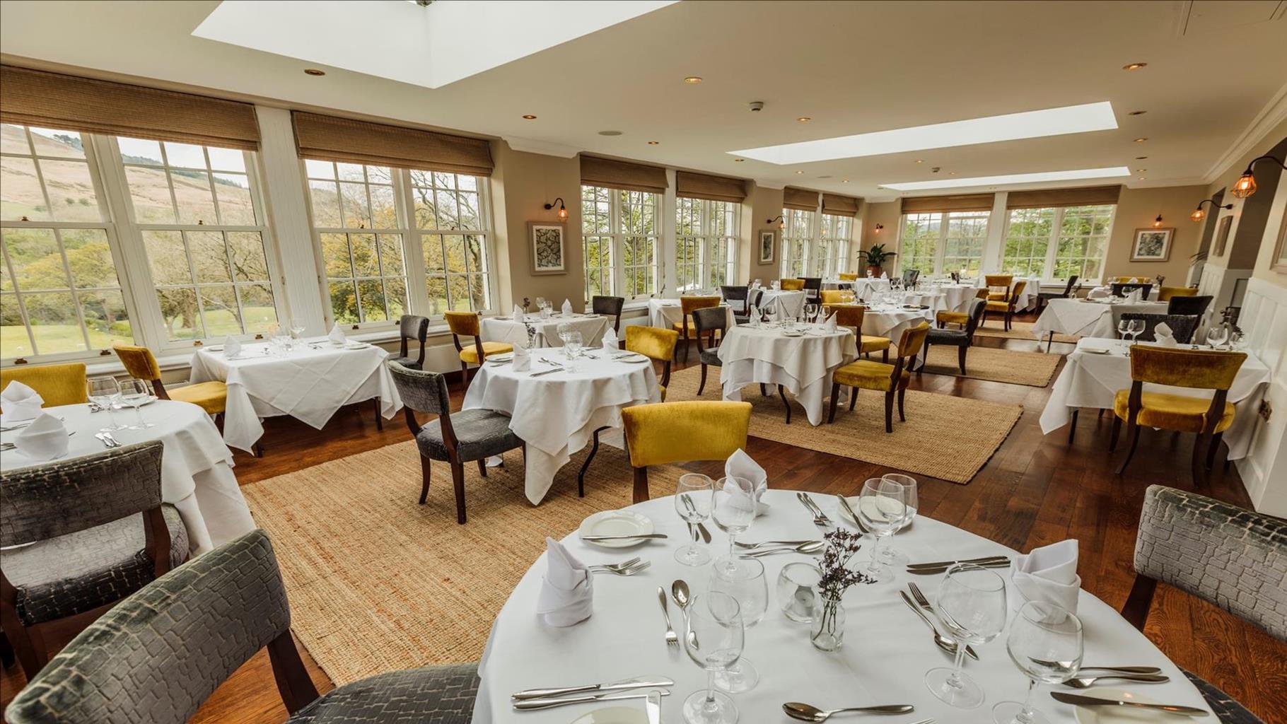


YHA Edale
An impressive, country house, YHA Edale Activity Centre is one of the highest residences in the…

A gentle wander through the woods of a remote valley beside a famous moorland road.
Woodlands Valley
1.25 miles (2kms)
This short and relatively easy forest walk explores the head of the aptly named Woodlands Valley, which carries the A57 Manchester–Sheffield road up and over the notorious Snake Pass. Built in 1820 as a turnpike or toll road for the Duke of Devonshire and engineered by Thomas Telford, the Snake Pass crosses the bare and inhospitable moorland between Kinder Scout and Bleaklow, reaching 1,679ft (512m) at its summit. Not surprisingly, this high trans-Pennine route is one of the first to be shut off by bad winter weather and in January 2008 the entire road was closed for three weeks following a landslip caused by heavy rain. Despite what you might think, its name is not a reflection of the twists and turns of the road but comes from the serpent featured on the Duke of Devonshire’s family crest. ==Snake Pass==Because of its combination of tight bends and straights, the Snake Pass is popular with motorcyclists, but its length and average gradient (about 1 in 7 for over 3 miles (4.8km) on the western side) also makes it one of only a handful of UK road climbs that are comparable to continental road cycling, so it features on many domestic road races. Apart from a few scattered farms and the Snake Pass Inn, built originally as a staging post for weary travellers, the valley is mostly given over to farming and forestry. Once you cross the road from the Birchin Clough Bridge lay-by and descend into the conifer plantations, tucked below Lady Clough Moor, you soon lose the sight and sound of the traffic. Indeed, the trees provide welcome shelter from the elements, even if it’s blowing hard on the open moors above. ==Ashop Clough==The route makes its way gently across the hillside before dropping down to meet a public footpath at the foot of Ashop Clough. This is the walkers’ equivalent of the Snake Pass, a long and taxing west–east route from Hayfield that climbs up the side of Mill Hill on the edge of Kinder Scout and heads down Black Ashop Moor to reach the Woodlands Valley. You follow this footpath for just a short distance, before heading back up the main valley on a waterside track into the heart of the woods. If you want to extend the route you can continue northwards on waymarked paths further up Lady Clough, but towards the open moor the paths become steeper and muddier.
From the lay-by cross the road carefully and beside the forest sign descend the paved, zig-zag path into the wooded valley. Go through a gate and on through the pines next to a stream until you reach a footbridge.
Cross the bridge and continue along the path down the valley, with the water on your right, until you reach the sweeping, open bend of a forest road by a vehicle bridge.
Turn right, across the bridge, and follow the forest road as it makes its way gradually uphill. Keep straight on at a junction, rising higher above the valley floor, until the track begins to bend to the right.
Turn left, following white waymarked posts for a narrow path downhill that swings right and continues descending. At the bottom, go down a few steps to reach the junction with a public footpath.
Turn left and beyond a stile emerge from the trees and follow the rocky path alongside the River Ashop, with the plantation on your left. Follow this route along the bottom of Ashop Clough until you reach a long wooden footbridge.
Cross the bridge and at the path junction on the far side go ahead through the gate and back into the woodland. This path stays close to the river and eventually reaches the junction with the forest road at Point 3. Go straight over for the path back up to the start.
Woodland tracks and paths, sometimes a little boggy by the river
Narrow, wooded valley, surrounded by high moorland
Good off-lead route
OS Explorer OL1 Dark Peak
Birchin Clough Bridge lay-by on A57
None on route
Read our tips to look after yourself and the environment when following this walk.
Discover more than 15,000 professionally rated places to stay, eat and visit from across the UK and Ireland.
Choose a place to stay safe in the knowledge that it has been expertly assessed by trained assessors.
Search by location or the type of place you're visiting to find your next ideal holiday experience.
Read our articles, city guides and recommended things to do for inspiration. We're here to help you explore the UK.