
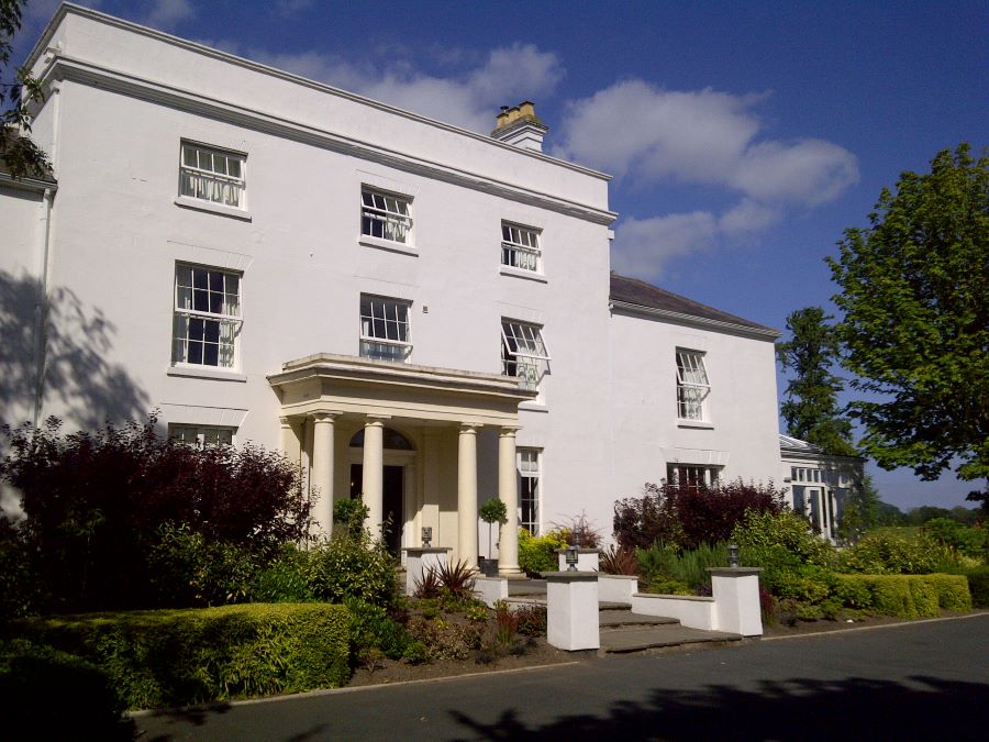
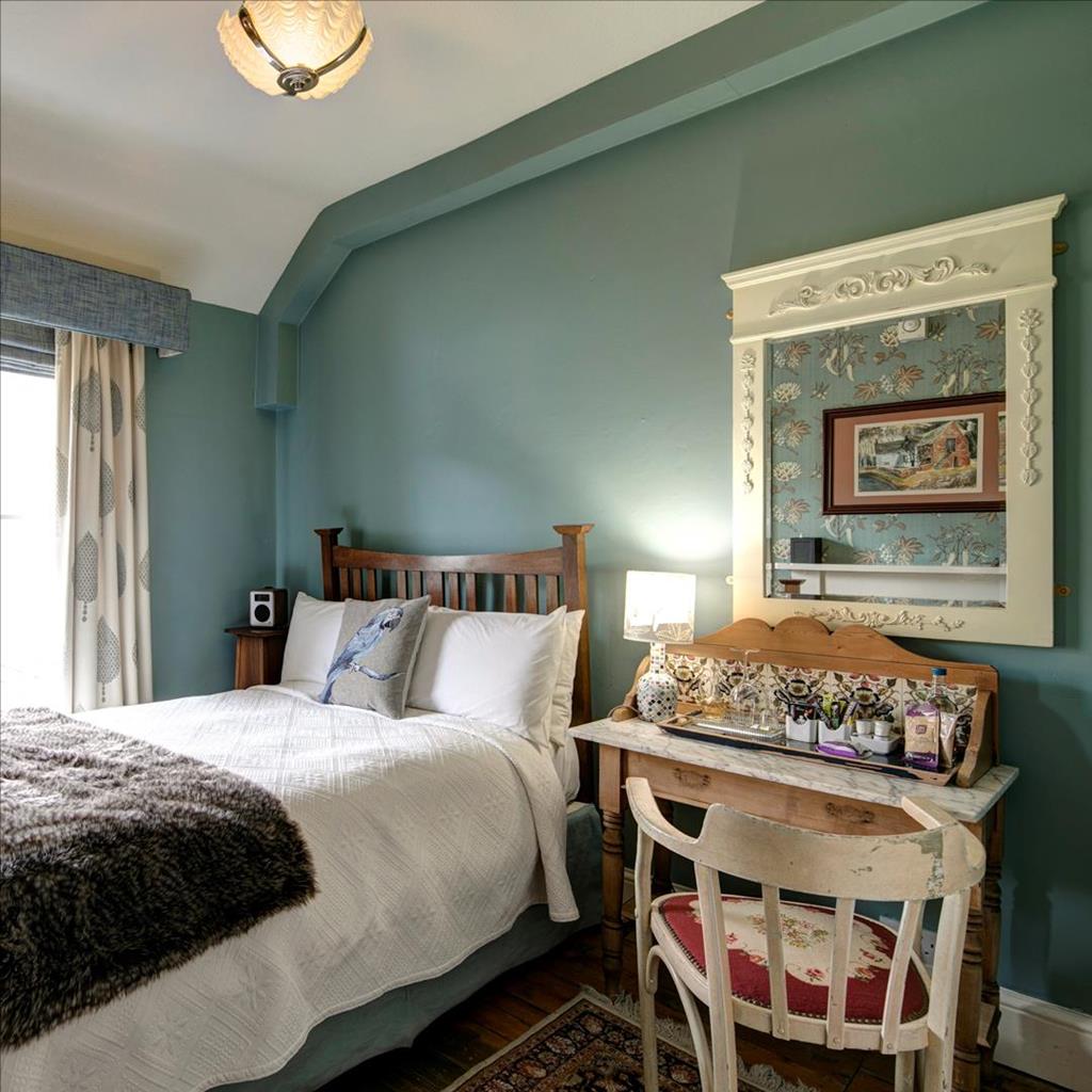
Victoria House
Victoria House is a handsome townhouse in the centre of Church Stretton and a popular base for…

The Strettons
6 miles (9.7kms)
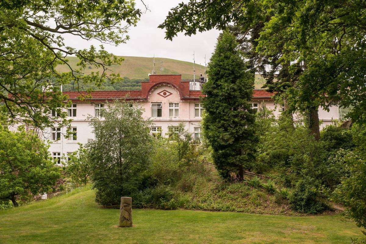
Squeezed between the heathery bulk of the Long Mynd and the enticing Stretton Hills lies Church Stretton. This small market town makes an ideal base for a few days of quality walking. If you've explored the Long Mynd you may have looked across the Stretton Gap at Caer Caradoc and its neighbours and thought you'd like to know them better. Until recently, a glance at an OS map would have suggested that there was limited access to these hills, but in fact there has been permissive access for many years and this is now guaranteed by law.
The Strettons may well be the shapeliest hills in the county. Or, at least, three of them are: Ragleth Hill, Caer Caradoc and The Lawley, which run in a north-south alignment to the east of Church Stretton. Basically, they are hog's-backs, very much like The Wrekin. But, also like The Wrekin, catch them from the right angle (end-on is best, or check out Caer Caradoc from The Cwms) and they look almost conical, with an alluring mini-mountain shape that screams 'Climb me'. If you do climb one of them, for instance Caer Caradoc, and look north, you will see The Wrekin, lying on exactly the same alignment, and taking much the same form as Caer Caradoc and The Lawley.
The Strettons are also of volcanic origin, like The Wrekin; long, narrow ridges of resistant Precambrian rock, which was thrust up from the earth's core by movements along the Church Stretton fault. This break in the earth's crust has been traced from Staffordshire to South Wales, but it is here in Shropshire that its effects are most noticeable, where the hard Precambrian rocks are brought up against much softer rocks, such as limestones. If you look at the OS map you will notice a line of springs marked along the western slopes of Caer Caradoc. This marks the line of the fault. If you walked along the footpath that runs below the springs, you would see some small quarries where earlier generations of farmers dug out the soft limestone to make agricultural lime to sweeten the acidic soils that prevail in the area.
Walk along Easthope Road to Sandford Avenue, turn right and walk past the train station. Cross the A49, proceed along Sandford Avenue, then turn right on Watling Street South. Turn left by a postbox, fork right and shortly left on Ragleth Road.
Turn right into a Woodland Trust reserve, Gough's Coppice. Keep left at a fork, climbing by the edge of the wood, and left again at the next junction. Leave the wood at a stile and turn right on a footpath. After a level section, the path climbs steeply to a stile. Turn right for a few paces, then fork left to follow a higher path, which goes by the left-hand fence through woodland.
When the path emerges on to the open hillside, keep straight on as far as a stile, but don't cross it. Turn your back on it and follow a trodden path up Ragleth Hill, then walk along the spine of the hill.
A pole marks the southern summit. Descend the steep well-worn path past rocks then follow a fence down to a stile. Drop left to another stile and climb to the top left corner of the next field. Follow the left-hand hedge down another field and join a lane.
Turn left and follow the lane, with its wide green verge, for about a mile (1.6km), passing the turn for Chelmick and Soudley.
Just past a wooden house (Clemcroft) turn left on a bridleway signed to Church Stretton. Follow this to a gate and down through woodland.
Approaching a second gate, don't go through, but turn right to contour round Hazler Hill. Turn right at a lane, walk to a junction and cross to a bridleway opposite, which passes Gaerstones Farm. After Caer Caradoc comes into view, go through a gate then look for a bridleway branching left to a gate/stile about 40yds (37m) away. The bridleway descends past Helmeth Hill to meet another bridleway at the point where this is crossed by a brook.
Turn left, soon emerging from woodland into pasture. Keep on in much the same direction, with a fence on your left. The path becomes a sunken track, which can be very muddy. Reaching a lane, turn left. Turn right on Helmeth Road, right again at a T-junction, and retrace your outward route back to the car park.
Good paths through pasture and woodland, many stiles
Beautiful range of hills overlooking the Stretton Gap
Under close control near livestock
OS Explorer 217 The Long Mynd & Wenlock Edge
Easthope Road car park, Church Stretton
At car park
Read our tips to look after yourself and the environment when following this walk.
Perhaps nowhere else in England will you find a county so deeply rural and with so much variety as Shropshire. Choose a clear day, climb to the top of The Wrekin, and look down on that ‘land of lost content’ so wistfully evoked by A E Housman. Peer through your binoculars and trace the course of Britain’s longest river as the Severn sweeps through the county, from the Breidden Hills to Wyre Forest, slicing Shropshire in two. To the north is a patchwork of dairy fields, hedgerows, copses and crops, broken at intervals by rugged sandstone ridges such as Grinshill or Nesscliffe, and dissected by a complex network of canals.
Spilling over the border into neighbouring Cheshire and North Wales is the unique meres and mosses country, with serenely smooth lakes glinting silver, interspersed with russet-tinged expanses of alder-fringed peat bog, where only the cry of the curlew disturbs the silence. South of the Severn lies the Shropshire Hills AONB. It’s only when you walk Wenlock Edge that you fully discover what a magical place it is – glorious woods and unexpectedly steep slopes plunge to innumerable secret valleys, meadows, streams and farmhouses, all tucked away, invisible from the outside world.
Discover more than 15,000 professionally rated places to stay, eat and visit from across the UK and Ireland.
Choose a place to stay safe in the knowledge that it has been expertly assessed by trained assessors.
Search by location or the type of place you're visiting to find your next ideal holiday experience.
Read our articles, city guides and recommended things to do for inspiration. We're here to help you explore the UK.