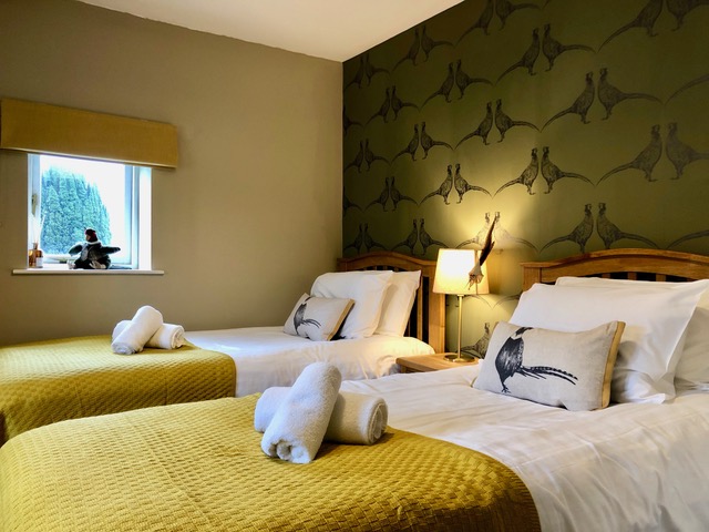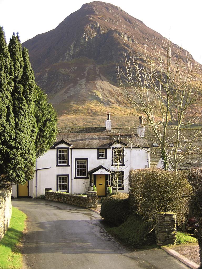

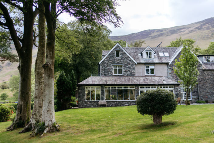
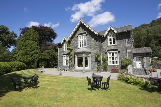

YHA Ennerdale
If you want to get away from it all in the Lake District, then YHA Ennerdale is the ideal hostel…

A short walk dips a toe into this magnificent valley, the home of an ambitious conservation project.
Ennerdale
2.5 miles (4kms)
==Background==Mention ‘rewilding’ to many people, and you may get a blank response, or perhaps a tirade about the iniquities reintroducing wolves or beavers or bears. England doesn’t have any truly wild country where such things might conceivably happen. But Ennerdale is certainly one of England’s quietest places. Perhaps ‘rewilding’ is the wrong phrase. What is happening in this delectable glen, is a repositioning of human impacts, a steady lessening of control, a rebalancing. It’s hard not to regurgitate the language of the project managers, but Ennerdale, for all its peace and quiet, has been much mucked about with in the past. ==Time for Change==The big idea for a change in the valley came from a change in English forestry strategy in 1998. The Forestry Commission, charged since 1919 with protecting the nation’s timber reserves, found their wood was no longer in competitive demand. No longer needed for pit props or railway sleepers, other timber users found imports both cheaper and more convenient. So the Forestry Commission was told to look at other priorities. In Ennerdale this gave them an opportunity to right a few wrongs. Writing in 1966, famous fell-wandering author Alfred Wainwright described the valley’s afforestation as ‘a dark and funeral shroud…an intrusion that anyone who knew Ennerdale of old can ever forgive.’ (The Western Fells, 1966). He was equally scathing about the water board men who demolished one of the valley’s few pubs to raise the water level and then never actually did it. ==Quiet Experiment==But water extraction and forestry aside, Ennerdale was quite clean underneath. The records show that native woodland had been largely cleared by the end of the 15th century and sheep and cattle grazing was as important here as elsewhere. But there wasn’t the same intensive valley use you might find in Buttermere or Langdale. There was a medieval iron founder’s bloomery at Smithy Beck, and a larger settlement of Norse-style longhouses at Gillerthwaite, but not much more. So the scope for repositioning the valley as a quiet experiment in habitat change was clear. The Wild Ennerdale project brings together the water company, the forestry people and a few others who have interests in the valley. The plan is to reduce the use of vehicles, particularly in the upper valley; to foster the growth of native trees like oak and juniper, and control the regeneration of introduced ones like Sitka spruce; to let go of the margins of the woods, so they become less well-defined; to lessen the impact of water extraction by removing revetments and the like; and to use the whole valley as an educational tool, about how ecology and the environment is shaped by our actions. It’s a bold and exciting initiative – even Wainwright might have approved.
Walk back through the car park entrance and cross over the lane to a yellow footpath sign and picnic bench. Follow the green track down into a stone enclosure, which soon narrows to become a walled lane heading towards a bay in the lake.
As you pass a whitewashed building on the right, known as Bowness, pass through a gap in the wall on your left and maintain your direction towards the lake. Descending to the lakeshore turn left along a narrow path, following the edge of the lake. It’s narrow and sometimes rocky in places. At times of low water there are some lovely little beaches along here. The path rounds a rocky headland before reaching a picnic table. Beyond this, continue with fine views up the lake to emerge on a much larger track.
Turn right along this unsurfaced track along the lakeside. Pass some picnic benches on a promontory to the right and as the path rounds a bend stay with the lakeside route. Soon you reach a bridge over a beck tumbling down from the left.
Step over the bridge to view the site of an ancient bloomery (where iron was smelted to make into tools and fittings)on the right and perhaps to continue as far as another picnic spot a few hundred paces further on. But return to the bridge and take the path that follows the side of the beck up into the woods, marked by red posts.
Before long the path leaves the beck, but take a moment to drop down to the right to a bridge and another pleasant spot for a picnic. Return to the waymarked path, now heading away from Smithy Beck. The ascent doesn’t last long and soon you are crossing another bridge, this time over Dry Beck. Carry on through the woods to rejoin the shoreline road. Turn right here and follow the track, ascending as it becomes tarmacked to reach the car park and the start of the walk.
Forest paths and tracks
Woods, fell and lake
A good walk for dogs
OS Explorer OL4 The English Lakes (NW)
Bowness Knott car park
None on route, nearest at Cleator Moor
Read our tips to look after yourself and the environment when following this walk.
Discover more than 15,000 professionally rated places to stay, eat and visit from across the UK and Ireland.
Choose a place to stay safe in the knowledge that it has been expertly assessed by trained assessors.
Search by location or the type of place you're visiting to find your next ideal holiday experience.
Read our articles, city guides and recommended things to do for inspiration. We're here to help you explore the UK.