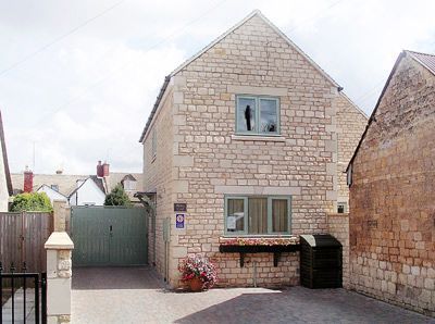
Misty View
Along a quiet lane, this modern Cotswold-stone cottage is close to the heart of Winchcombe, with…

A gentle ramble in quintessential Gloucestershire
Guiting Power
5.75 miles (9.2kms)
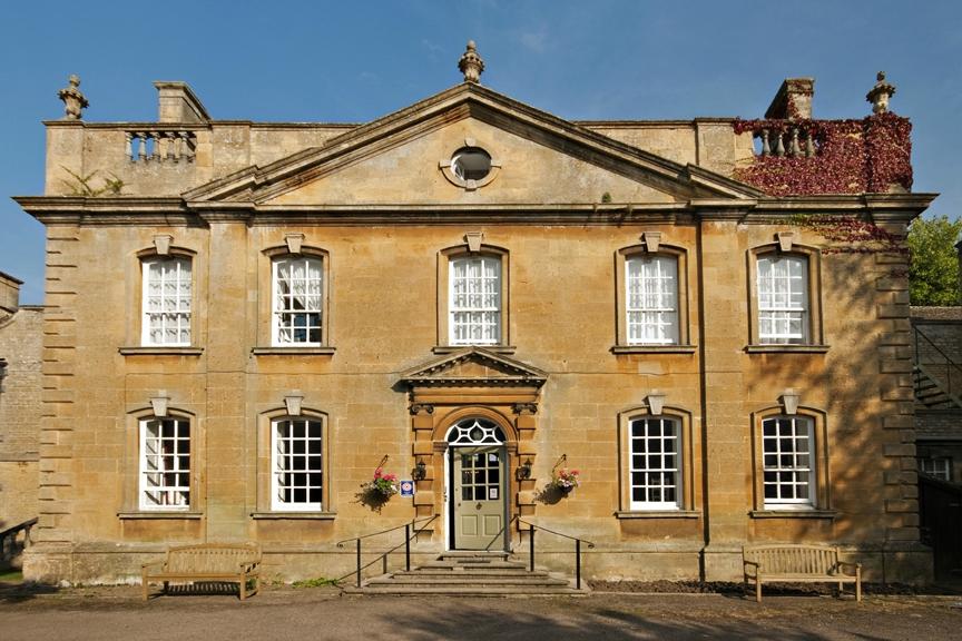
Looking from the village green, surrounded by stone cottages, with its church and secluded manor house, it is easy to imagine that very little has changed in Guiting Power in 1,000 years. The name comes from the Saxon word gyte-ing, or ‘torrent’, and indeed the name was given not only to Guiting Power but also to neighbouring Temple Guiting, which in the 12th century was owned by the Knights Templar. Guiting Power, however, was named after the pre-eminent local family of the 13th century, the Le Poers. Over the years the village was variously known as Gything, Getinge, Gettinges Poer, Guyting Poher, Nether Guiting and Lower Guiting. Its current name and spelling date only from 1937.
In 1086, the Domesday Book noted the inhabitants as ‘four villagers, three Frenchmen, two riding men, and a priest with two small-holders’. Just under 100 years later the first recorded English fulling mill was in operation at the nearby hamlet of Barton, to the northeast. In 1330, permission was given for a weekly market to be held at Guiting Power, which may explain the current arrangement of the houses about the green. The village had its share of the prosperity derived from the 15th-century wool trade, as the addition of the tower to the church testifies.
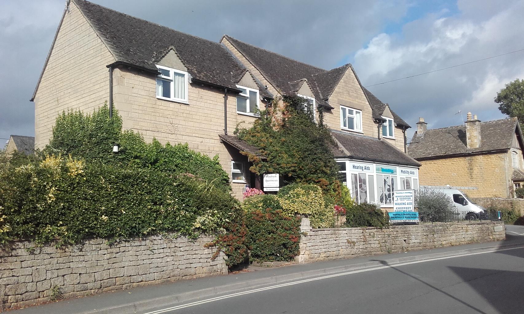
In other ways history was slow to catch up with small villages like Guiting Power. Its farmland, for example, was enclosed only in 1798, allowing small landowners such as a tailor called John Williams, who owned 12 acres (4.86ha) in the form of medieval strips scattered throughout the parish, to finally consolidate their possessions. Local rights of way were enshrined in law at this time. By the end of the 19th century the rural depression had reduced the population to 431, and it continued to decline throughout the 20th century. Nonetheless, it is recorded that apart from public houses (there were at least four), there were two grocers, two bakers, two tailors, two carpenters, two policemen and a blacksmith. There are still two pubs in Guiting Power but everything else, apart from The Old Post Office café, has disappeared. The village is unusual in that it hasn’t succumbed to the inflationary effects of second-homeowners from the cities pushing housing beyond the reach of locals. Much of this is down to the far-sightedness of Moya Davidson, a resident in the 1930s who purchased cottages to be rented out locally. Today, these are managed by the Guiting Manor Amenity Trust. It has meant that younger people can stay in the village to live and work, and there are a few local families who can trace their roots back for several generations.
From the village hall car park walk down the road to the village green. Cross the road to walk down a lane, passing the Guiting Manor Amenity Trust Estate Office on the right. At the bottom go through a kissing gate into a field and ahead onto a path alongside a stream. Through a gate and over a footbridge, the path climbs towards a kissing gate. Don’t take the one in front of you, but go through the one to your right into a field.
Turn left and walk straight across this field to a kissing gate. Go through this and over two stiles to pass a farmhouse in Barton village. Follow the lane down to a larger road and turn right. Cross a bridge and turn left up a track. After 100yds (91m), turn right up another track.
Follow this as it bears left and walk along this track for about a mile (1.6km), until you reach another road after passing a working quarry called Tinkers Barn. Turn right, walk along the road for about 250yds (229m) and turn left onto a stony track.
Follow this to a road junction, passing more quarries as you go. Cross the road and enter a lane descending past Grange Hill Farm. This quiet lane will bring you all the way into the village of Naunton.
At the junction, turn left and walk along the village street for 500yds (457m) to The Black Horse Inn. Just before you get to it, turn right into Close Hill, a narrow lane. Over a bridge turn right to cross a stone slab stile and walk alongside the stream, the young River Windrush. Go through two gates. The path becomes a village lane emerging near Naunton Church. Turning left, follow the lane up out of the village.
After 0.25 miles (400m), turn right through a kissing gate into a field. Turn slightly left, walk to a stile and go into the next field. Cross this field, enter the next one and follow the path to the right of a wood to a gate at the road.
Turn right along the road and continue to a junction at the bottom. Cross the road to enter a field via a gate and walk straight across, aiming to the left of Guiting Power church. At the end go through a kissing gate and down some steps to pass to the right of a pond. Go through a kissing gate, walk across the next field, then go through another kissing gate to walk to the left of the church via two further kissing gates and return to the start.
Fields, tracks and country lanes, several stiles
Woodland, hill and village
Fairly clear of livestock but look out for horses on roads
OS Explorer OL45 The Cotswolds
Village hall car park
None on route
Read our tips to look after yourself and the environment when following this walk.
Gloucestershire is home to a variety of landscapes. The Cotswolds, a region of gentle hills, valleys and gem-like villages, roll through the county. To their west is the Severn Plain, watered by Britain’s longest river, and characterised by orchards and farms marked out by hedgerows that blaze with mayflower in the spring, and beyond the Severn are the Forest of Dean and the Wye Valley.
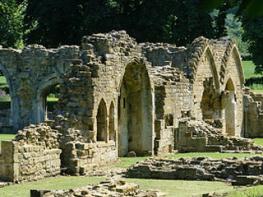
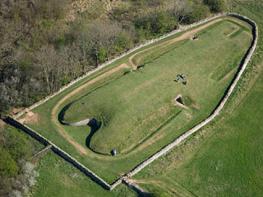
Throughout the county you are never far away from the past. Neolithic burial chambers are widespread, and so too are the remains of Roman villas, many of which retain the fine mosaic work produced by Cirencester workshops. There are several examples of Saxon building, while in the Stroud valleys abandoned mills and canals are the mark left by the Industrial Revolution. Gloucestershire has always been known for its abbeys, but most of them have disappeared or lie in ruins. However, few counties can equal the churches that remain here. These are many and diverse, from the ‘wool’ churches in Chipping Campden and Northleach, to the cathedral at Gloucester, the abbey church at Tewkesbury or remote St Mary’s, standing alone near Dymock.
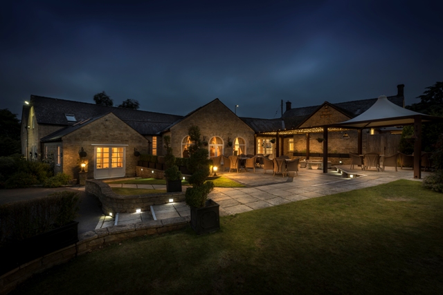
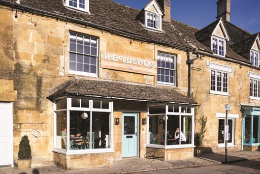
Discover more than 15,000 professionally rated places to stay, eat and visit from across the UK and Ireland.
Choose a place to stay safe in the knowledge that it has been expertly assessed by trained assessors.
Search by location or the type of place you're visiting to find your next ideal holiday experience.
Read our articles, city guides and recommended things to do for inspiration. We're here to help you explore the UK.