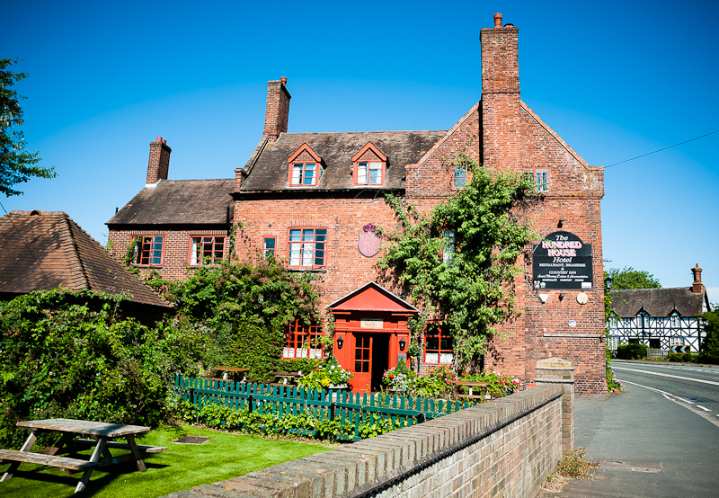


Red Lion Inn
In a tiny village on the Staffordshire-Shropshire border, the family-owned Red Lion Inn has…

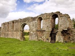
A short stroll along a disused railway tracing the rise and fall of local transport in the area.
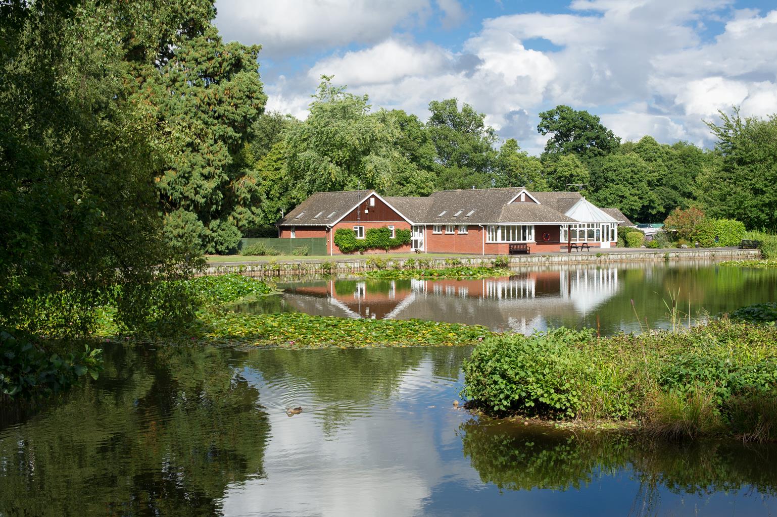
Wombourne
4.25 miles (6.8kms)
Referred to in the Domesday Book as Womburne, Wombourne's name is thought to mean 'winding stream' (the Anglo-Saxon 'burn' is still used in Scotland and Northumberland to mean a brook). At that time (1086) it was reported as having a population of just 26 people, and by 1641 that number had barely risen above 100. Clearly, this was not a booming town, and despite a number of small industries making their mark on the village in subsequent centuries – agriculture from the 1750s, horticulture around 1800, and sand-mining and nail production from about 1850 – it served as little more than a stop-off on the Staffordshire and Worcestershire Canal throughout this time.
The canal was one of the first to be built in Staffordshire, designed by engineering genius James Brindley. It was well placed for the Potteries, carrying goods to and from Bristol, Gloucester and the West Country via the River Severn. Later, in the 1830s, it faced stiff competition from the Worcestershire and Birmingham Canal and the Birmingham and Liverpool Junction Canal, but still continued to make a profit until the 1860s. By then, however, the impact of the railways was beginning to bite, and the canal ceased to be a significant transport route by the turn of the century.
As it turned out, the local railway fared little better, again thanks to competition from bigger, inter-city lines. The South Staffordshire Railway, serving the rural areas to the west of Dudley and Wolverhampton, was owned by Great Western Railways. Building started in 1912, but – due in part to the interruption of World War I – it was not completed until 1925. Right from the start the line wasn't very successful, and passenger services were withdrawn by 1932. During World War II, following the D-Day landings in June of 1944, it was used to transport wounded Allied soldiers to hospitals in the area, and after the war it was used for transporting goods.
Following the nationalisation of the railways in 1948, it became a part of the Western Region of what was then British Railways, but the continued decline in traffic during the 1950s and 1960s resulted in its inevitable closure. The last train ran in 1965. The rail company's loss, however, was the public's gain. Today the old line has been converted into a popular walking and cycle path, called the South Staffordshire Railway Walk, through quiet, rolling farmland, the flat, all-weather surface making it ideal for wheelchairs, pushchairs and family cycling. The route along the railway line can be extended in either direction by continuing along the Pensnett section in Dudley or the Valley Park section in Wolverhampton.
From the far end of the car park, walk the few paces on to the disused South Staffordshire Railway line, beyond the former station and platform. Head right and continue along the gravel track for 1.5 miles (2.4km), passing over Flash Lane, Blackpit Lane and Penstone Lane (there are picnic benches near both Flash Lane and Blackpit Lane if you're in need of rest and refreshment).
Immediately after the first bridge you go under, turn left up a short track to the road, and then head left over that same bridge and along the road for 0.5 miles (800m). It's usually quiet but there are one or two blind corners, so care needs to be taken. Pass The Greyhound pub in Lower Penn on your left, and continue over the crossroads towards Upper Penn.
Pass St Anne's Church and black-and-white timbered Rose Cottage, both on your right. Opposite a barn, take a gate on your right. A footpath sign indicates the path across the field to another kissing gate. Follow a grass path ahead across the next field to yet another kissing gate.
Through this gate go down some steep wooden steps and through a kissing gate. Continue down the steep, well-worn trail (this gets very slippery when wet) to reach the bottom of the field before crossing a stile. Stay on the narrow dirt track ahead; it might be thick with greenery in the summer, but there should be an obvious passage through.
At Orton House, turn left along the narrow, single-track road for 0.5 miles (800m); again, it's very quiet, but take care on blind bends. The road steepens up to the top. Just after the brow of the hill, turn right along a wide track (a public bridleway) past a wide house. This hedge-lined route offers great views of the rolling green hills of the Black Country to the east.
Follow the track as it passes to the right of the communications mast and a large concrete and steel barn. When the track goes hard left, cross a stile ahead and continue in the same direction across the middle of the field to the near end of Bullmeadow Coppice.
Turn down left for a few steps, then right on a path through a corner of the coppice to an open meadow. Ignore a path to the left; keep straight on along the wood edge to the field's corner. Here go right for a narrow path down the steep and sometimes slippery hillside. At the edge of Wombourne turn right along Bratch Lane and go straight over a crossroads to return to the car park at the start.
Roads, gravel and dirt tracks, several stiles
Disused railway, meadow and hilltop
Must be on lead in fields and on roads
OS Explorer 219 Wolverhampton & Dudley
South Staffordshire Railway Walk car park, Bratch Lane, Wombourne
None on route
Read our tips to look after yourself and the environment when following this walk.
It was Staffordshire that bore the brunt of the largest non-nuclear explosion of World War II, when a munitions dump at RAF Fauld went up in 1944. It was also the county’s regiment that once boasted within its ranks the most decorated NCO of World War I, in the person of William Coltman (1891-1974). Going back a little further, George Handel penned his world-famous masterpiece The Messiah on Staffordshire soil. During another chapter of Staffordshire history, the county was home to the first canals and the first factory in Britain, and it had front-row seats for the drama surrounding one of the most notorious murder trials of the 19th century, that of Doctor William Palmer.
In outline, Staffordshire looks not unlike the profile of a man giving Leicestershire a big kiss. The man’s forehead is arguably the best region for hillwalking, as it comprises a significant chunk of the Peak District. This area is characterised by lofty moors, deep dales and tremendous views of both. Further south are the six sprawling towns that make up Stoke-on-Trent, which historically have had such an impact on Staffordshire’s fortunes, not to mention its culture and countryside. This is pottery country, formerly at the forefront of the Industrial Revolution and the driving force behind a network of canals that still criss-cross the county.
Discover more than 15,000 professionally rated places to stay, eat and visit from across the UK and Ireland.
Choose a place to stay safe in the knowledge that it has been expertly assessed by trained assessors.
Search by location or the type of place you're visiting to find your next ideal holiday experience.
Read our articles, city guides and recommended things to do for inspiration. We're here to help you explore the UK.