Through Ashmore Wood
Recommended by

Walk directions
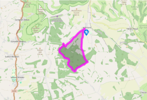
With your back to the road, walk past the barrier and follow the firm forestry road as it curves past the beeches of Washers Pit Coppice on your left and Balfour’s Wood on your right. After 0.5 miles (800m) ignore a bridleway up to the right and keep going straight ahead on the track. You’re now in Stubhampton Bottom, following a quiet winding valley through the trees.
Where the main track swings up to the left, keep straight ahead, following the blue public bridleway marker, on a rutted track along the valley floor. A path from Stony Bottom feeds in from the left – keep straight on. Where there’s an area of smaller coppiced trees on the hillside on your left, ignore a path peeling off to the right and shortly afterwards follow the blue bridleway markers onto a narrow track to the right which runs down through coppiced woodland parallel and below the forestry road. At Hanging Coppice a marker post shows where the Wessex Ridgeway path feeds in from the right – again, keep straight ahead. The path soon rises to emerge in trees at the corner of a field.
View all directions
Additional information
Terrain
- Forestry and farm tracks, woodland and field paths
Landscape
- Mixed woodland, quiet village
Dog friendliness
- One short stretch of road walking
Parking
- At Washers Pit entrance to Ashmore Wood
Toilets en route
- None on route
About the walk
To anyone familiar with the monotonous, sterile conifer forests of northern Britain, the plantations of Dorset are a revelation and a delight. Best among these are the Forestry Commission’s woods around Ashmore. At the time of the Domesday Book around 15 per cent of the land area of England was...
Read more

Been on this walk?
Send us photos or a comment about this route. Or recommend a route of your own.

Walking in Safety
Read our tips to look after yourself and the environment when following this walk.

Get an AA guide
Explore our range of ‘50 Walks in’ guides - they’re the ideal companion for a ramble.
Been on this walk?
Send us photos or a comment about this route. Or recommend a route of your own.
Walking in Safety
Read our tips to look after yourself and the environment when following this walk.
Get an AA guide
Explore our range of ‘50 Walks in’ guides - they’re the ideal companion for a ramble.
About the area
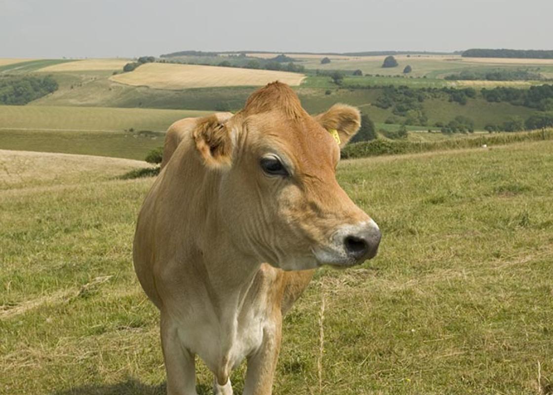
Dorset is made up of rugged coastlines, high chalk downlands and a chain of picturesque villages and seaside towns that make up Britain’s Jurassic Coast, a UNESCO World Heritage Site and Area of Outstanding Natural Beauty, noted for its layers of shale and numerous fossils embedded in the rock. Hidden gems of Dorset can be found down winding, country lanes that lead to snug villages hidden from view.

Nearby places to stay
View all (8)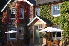


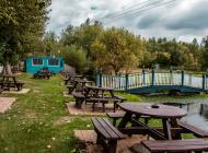
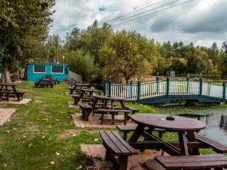
Caravan & Camping
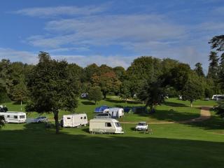
Church Farm Caravan & Camping Park

- Launderette
- Ice pack facility
- Cafe/Restaurant
- Picnic Area
Nearby places to stay
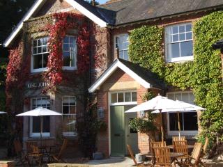
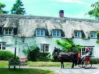
King John Inn
Very much the traditional village inn, the King John Inn has so much appeal, located in the sleepy village of Tollard Royal, on the borders of Wiltshire and Dorset. The bedrooms have be...

Grosvenor Arms
The Grosvenor Arms is a boutique hotel in Shaftesbury. With Georgian features, contemporary design, and fabulous seasonal menus, it is a quality place to eat, drink and stay in the anci...
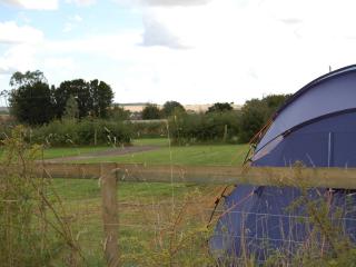
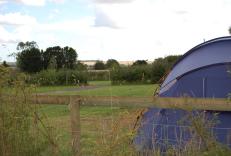
Church Farm Caravan & Camping Park
A spacious park located within the Cranborne Chase Area of Outstanding Natural Beauty which has been awarded Dark Sky status; the site is split into several camping areas, including one...
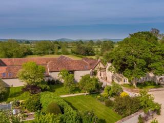
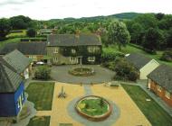
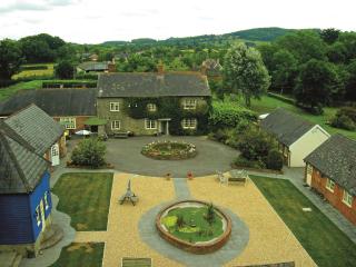
Hammoon Manor Barn
Hammoon Manor offers luxurious self-catering accommodation, located in the heart of Thomas Hardy’s ‘Vale of Little Dairies’ and two and a half hours from Central London. It's surrounded...
Hammoon Manor Barn
Hammoon Manor offers luxurious self-catering accommodation, located in the heart of Thomas Hardy’s ‘Vale of Little Dairies’ and two and a half hours from Central London. It's surrounded...

The Coppleridge Inn
The Coppleridge Inn is a beautiful country pub with amazing views of the Dorset Countryside. The inn offers high standard, en-suite bedrooms located in a pretty courtyard and delicious ...
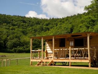
Loose Reins
A chance to embrace the pioneer spirit in charming frontier-style porched cedar cabins and canvas lodges in a great location near Shillingstone in Dorset. Comfort assured, with fully eq...
The Inside Park
The Inside Park has been established for over 30 years, and its secluded 14 acres of park and woodland sees a lot of return visitors. Containing many fine specimen trees, the park and i...
Places to eat nearby View all