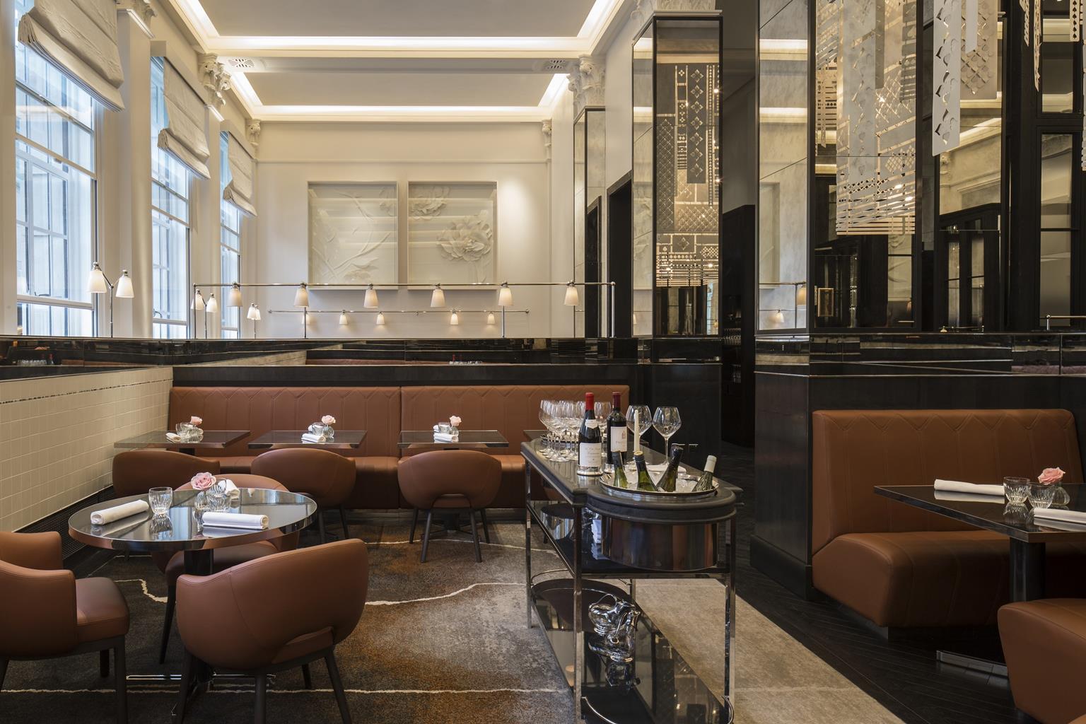


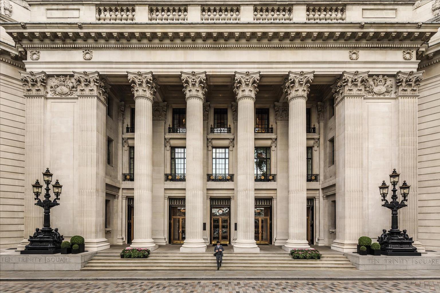
Four Seasons Hotel London at Ten Trinity Square
Overlooking Tower Bridge and the Tower of London, this truly fantastic, luxury hotel is the…

Docklands
3.5 miles (5.7kms)
The Docklands has evolved from being one of the world's busiest ports to one of the most expensive dock developments. Yet there is a stillness here, as if the Victorian warehouses have not quite come to terms with their modern neighbours, of which the striking Canary Wharf complex is the best example. While the police station in Wapping High Street is not open to the public, it is identified by the sign 'Metropolitan Police Marine Support', as the men and women here are responsible for policing the Thames. At the back of this listed building a pontoon, where dead bodies are initially placed, sways gently on the river. Each year teams of river police and divers recover between 40 and 50 bodies and rescue more than 100 people from the river. Similar things happen on the water as on land: people get lost, things get stolen, and there are accidents and injuries. The only difference is that boats replace cars – and this watery highway is a tidal one.
In the 18th century thousands of men worked in the docks handling imports that included fine cloth, precious metals and spices. Thefts were commonplace and there were around 100 pirates operating between London Bridge and Gravesend alone. Two men – John Harriott, a Justice of the Peace from Essex, and Patrick Colquhoun, a magistrate – decided to do something about it. In 1798 they obtained approval from Parliament to finance the first preventative policing of the river (the Metropolitan Police wasn't formed for another 30 years). It was a huge success: within six months the Marine Police had saved an astounding £112,000 worth of cargo. But it wasn't until 1878, when the Princess Alice paddlesteamer sank near Barking with the loss of over 600 lives, that the rowing galleys the Marine Police had been using were replaced with more powerful craft. Today the teams use rigid inflatable boats (RIBs) and larger, more conventional vessels.
The compact museum in the police station contains some of the earliest exhibits of policing to be found. Although you must book all tours (minimum of six people), an officer will explain the interesting exhibits and show you the pontoon, and may even give their opinion of Captain Kidd. He was a fine sailor, who was hanged at nearby Execution Dock for piracy. Five years before, he had set sail for Boston but was later accused of robbing British ships and brought back to England for trial.
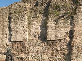
Take the underpass from Tower Hill tube that leads to the Tower of London. In front of the moat are the remains of the east gate of the medieval wall that once surrounded the City. Turn right and follow the path that skirts the moat and keep ahead through the main gates to the Tower of London. Follow the cobbled path under an archway to a road.
Cross the road and enter St Katherine Docks. Keep ahead with the dock on your right and turn right by Starbucks to cross a footbridge. Pass a row of shops and cross another footbridge (New Telford Bridge). Take the pass to the left of the Dickens Inn, then bear left along a row of houses and after the path swings left, go right (Mews Street) to come to a road.
Turn right along Thomas More Street and after the road bends right it meets Wapping High Street. Bear left along this street of former wharfs, now luxury apartments. Keep ahead to pass the blue and white 1970s-style building that is the Metropolitan Police boatyard, soon followed by the ancient Town of Ramsgate and Captain Kidd pubs, and the police station.
Continue ahead past Wapping Lane and Wapping tube. After the road bends to the left at New Crane Wharf, turn right into Wapping Wall, signposted 'Thames Path'. Just past the Prospect of Whitby pub cross a bridge over Shadwell Basin.
Turn right on to the riverside path and bear to the right of the King Edward VII Memorial Park for a superb view of Canary Wharf. After a blue apartment block the path bends away from the river and joins Narrow Street; it later passes the The Narrow pub as you cross the Limehouse Basin.
Turn right into Three Colt Street and walk to the end where you meet the river again. Bear left and continue ahead to Canary Wharf Pier.
Walk up the steps opposite the pier. Cross the road to Westferry Circus and keep ahead, in the direction of Canary Wharf DLR, cutting through Cabot Square into Cabot Place, before arriving at Canary Wharf DLR station entrance, where the walk ends.
Paved streets and riverside paths
Wharfs and docklands
On lead
OS Explorer 173 London North
Westferry Circus
Read our tips to look after yourself and the environment when following this walk.
Greater London is one of the world’s largest urban areas; 33 boroughs stretching north to Enfield, south to Croydon, east to Havering, west to Hillingdon and with central London at the heart of it all.
Greater London was officially created in 1965, but the boroughs themselves all have their own histories going back much further. Greenwich is home to the Prime Meridian, which all clocks on earth take their time from, while Hounslow contains Heathrow Airport, one of the busiest airports in the world. Greater London contains a multitude of parks and green spaces, from the six Royal Parks (including Richmond Park, Green Park, Hyde Park and Regent’s Park) and other huge open spaces like Hampstead Heath and Clapham Common; to smaller community spaces like Clissold Park in Stoke Newington and Burgess Park in Southwark.
The centre of London has its quiet spaces too, like Coram’s Field by Great Ormond Street, and Camley Street Natural Park, a stone’s throw from King’s Cross and St Pancras. One of the city’s most impressive features is the London Underground. Beginning in 1863 as the Metropolitan Railway, it took commuters into The City from the suburbs of Middlesex. It was the first underground railway in the world, and now consists of 11 lines, 270 stations, and 250 miles (402km) of track. It’s estimated that nearly five million journeys are taken every day, and there are nearly one and a half billion riders each year. At peak times, there are more than 543 trains whizzing around the Capital.
Discover more than 15,000 professionally rated places to stay, eat and visit from across the UK and Ireland.
Choose a place to stay safe in the knowledge that it has been expertly assessed by trained assessors.
Search by location or the type of place you're visiting to find your next ideal holiday experience.
Read our articles, city guides and recommended things to do for inspiration. We're here to help you explore the UK.